The best walks and hikes around Reyersweiler
4.5
(2466)
11,197
hikers
353
hikes
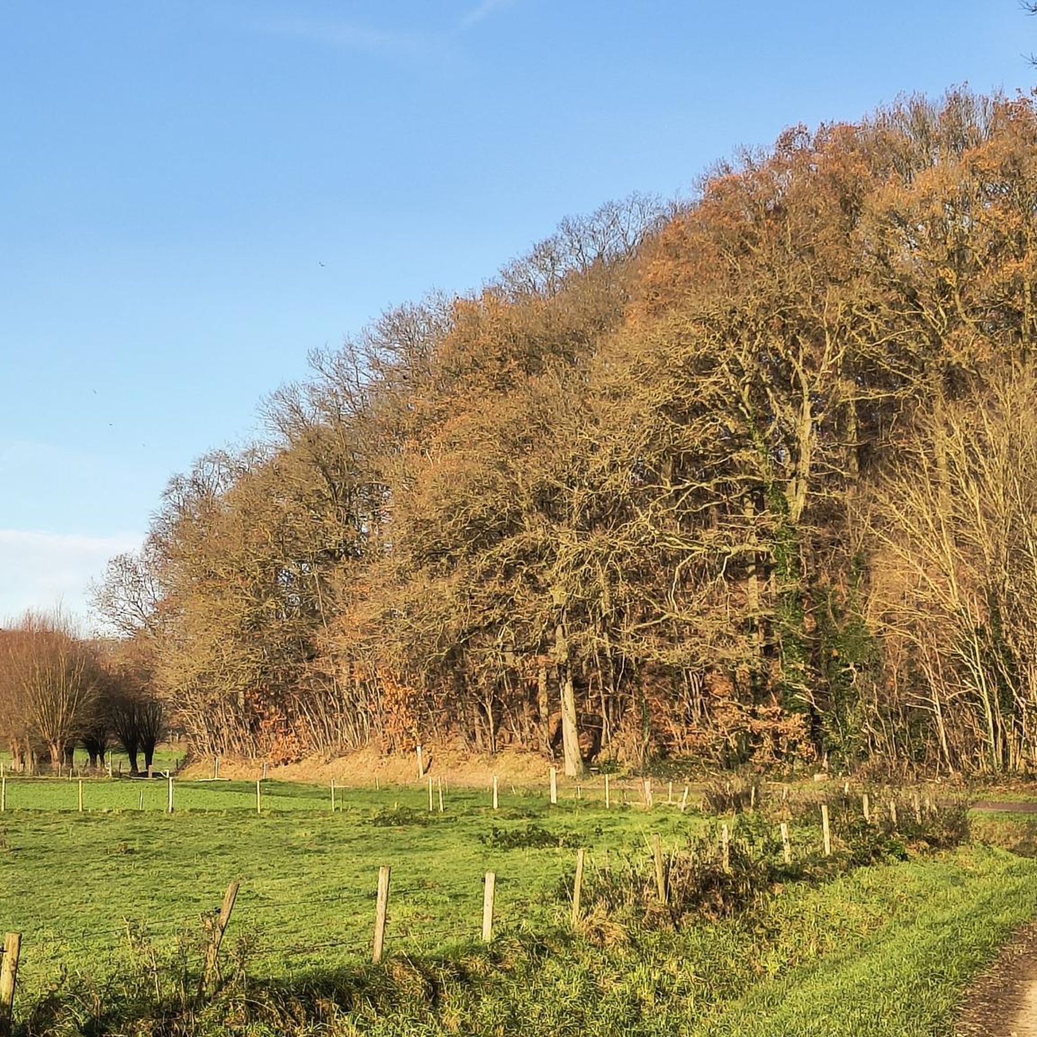
Hiking around Reyersweiler offers access to a landscape characterized by dense woodlands, rolling hills, and panoramic viewpoints. The region, situated near the Moselle department in France, features a mix of natural beauty and historical landmarks. Hikers can explore varied terrain, including forested paths and elevated areas that provide expansive views of the surrounding countryside and the plain of Alsace. The presence of tranquil water bodies like the Etang de Waldeck further enhances the natural appeal for outdoor activities.
Best hiking…
Last updated: October 13, 2026
4.9
(32)
202
hikers
Moderate hike. Good fitness required. Easily-accessible paths. Suitable for all skill levels.
4.8
(24)
98
hikers
Easy hike. Great for any fitness level. Easily-accessible paths. Suitable for all skill levels.

4.6
(14)
38
hikers
Moderate hike. Good fitness required. Easily-accessible paths. Suitable for all skill levels.
4.5
(4)
10
hikers
7.80km
02:11
160m
160m
Moderate hike. Good fitness required. Easily-accessible paths. Suitable for all skill levels.
4.7
(3)
8
hikers
7.50km
02:14
240m
230m
Moderate hike. Good fitness required. Easily-accessible paths. Suitable for all skill levels.
Get access to more routes and recommendations from other explorers.
Already have an account?
Our route recommendations are based on thousands of hikes, rides, and runs completed by other people on komoot.
Start today with a free account
Your next adventure awaits.
Tips from the Community

Tanks of the "newer" generation at the entrance to the fort!
7
0
There is an upper and lower parking lot. There is a barrier at the upper parking lot. If the barrier is open, you can drive to the lower parking lot directly to the visitor center. If the barrier is closed, you must park at the top and walk to the visitor center.
5
0
It was truly beautiful and very informative. The German tour, which takes place on weekdays at 2:30 p.m., is very well done and very informative. The lady who led us through the tour told us many anecdotes from former soldiers stationed there, bringing history to life. The tour lasted a good two hours and was definitely worth it.
6
0

Such a small sacred monument always invites the passing hiker or walker to pause for a moment and address a prayer to God in the presence of the crucified Christ. In the foreword to a publication on the subject of PRAYER, Christiane Völkel commented on a quote from the order's founder, Mother Teresa (1910 to 1997), "Prayer opens the heart until it can receive God within itself" in a few sentences: + "Why should we pray? Haven't we often experienced that this achieves nothing? (...) And yet Jesus encourages us to ask the Father for his assistance. In doing so, he shows us that, beyond the visible order, our life is embedded in God and has its deeper meaning therein. Prayer opens us to this closeness of God (...) That is why it is also worthwhile to pray."
1
0

Free parking (2025) at the bunker facilities there is another parking lot
0
0

You can book guided tours here: https://www.cc-paysdebitche.fr/tourisme-culture-sport/le-simserhof/
1
1
"Ligne Maginot - Blockhaus fusil mitrailleur - Légeret Nord 2 - Alt: 389 m" is written on the sign; where "fusil mitrailleur" means machine gun.
0
0

One of several smaller fortifications, so-called intermediate fortifications, held by the 153rd Fortress Infantry Regiment. During our visit on March 31st. The fortifications and the narrow entrance were under water.
4
0
Frequently Asked Questions
How many hiking trails are available around Reyersweiler?
There are over 330 hiking trails around Reyersweiler, offering a wide range of options for all skill levels. This includes more than 120 easy routes, over 170 moderate trails, and around 35 more challenging hikes.
What kind of terrain can I expect on hikes near Reyersweiler?
The terrain around Reyersweiler is characterized by dense woodlands, rolling hills, and elevated areas that provide panoramic views. You'll find a mix of forested paths and open sections, often leading to scenic overlooks of the surrounding countryside and the plain of Alsace. Tranquil water bodies, such as the Etang de Waldeck, also enhance the natural beauty of some routes.
Are there any historical landmarks or castles I can visit while hiking?
Yes, the region is rich in historical landmarks. You can explore medieval sites like Waldeck Castle, which offers panoramic views and allows access to its underground rooms. Another notable ruin is Château du Ramstein near Baerenthal, built on a sandstone rock. The impressive Citadel of Bitche also provides excellent views of the town and its surroundings. For more details, you can explore highlights like Ramstein Castle, Waldeck Castle, and the Citadel of Bitche.
Are there any family-friendly hiking options in Reyersweiler?
Yes, Reyersweiler offers numerous easy trails suitable for families. For instance, the Fort du Simserhof, Block 5 – Tank in front of the Simserhof loop from Sarreguemines is an easy 5.3 km path that provides a gentle walk through a historical military landscape, perfect for a family outing.
What do other hikers enjoy most about the trails in Reyersweiler?
The hiking trails around Reyersweiler are highly rated by the komoot community, with an average score of 4.5 stars from over 1,900 reviews. Hikers often praise the diverse landscape, the well-maintained paths through dense woodlands, and the rewarding panoramic views from elevated positions. The blend of natural beauty and historical sites is also a frequently mentioned highlight.
Are there any circular hiking routes available?
Yes, many routes around Reyersweiler are circular, allowing you to start and end at the same point. An example is the moderate Lauer Cross loop from Reyersviller, which covers 7.8 km and takes about 2 hours and 11 minutes to complete.
Are there any trails that feature water bodies or ponds?
Yes, the region includes tranquil water bodies that enhance the natural scenery. The Etang de Waldeck is a notable example. You can explore routes like the moderate Loechersbach Pond – Rocher des Trois Figures loop from Lambach, which takes you past scenic water features.
What is the best time of year to go hiking in Reyersweiler?
The region's dense woodlands and varied terrain make it appealing for hiking across multiple seasons. Spring and autumn offer pleasant temperatures and beautiful foliage, while summer provides longer daylight hours. Even in winter, some trails can be enjoyed, though conditions may vary.
Are there any trails that combine nature with historical fortifications?
Absolutely. The area around Reyersweiler is known for its historical fortifications integrated into the natural landscape. A great example is the moderate Parking at Simserhof – Simserhof anti-tank barrier loop from Sarreguemines, a 12.5 km trail that leads through forested areas and past significant historical defenses.
Can I find trails with significant elevation changes for a more challenging hike?
While many trails feature rolling hills, there are options with more notable elevation changes for those seeking a challenge. The region has around 35 difficult routes that will test your endurance and reward you with expansive views from higher points.
Are there any cultural or industrial heritage sites accessible via hiking trails?
Yes, beyond castles, you can discover sites like the Moulin d'Eschviller (Eschviller Mill) in the nearby village of Eschviller. This historic 18th-century watermill offers insights into the region's agricultural and industrial past, and can be a point of interest on a longer hike.
What are some of the natural features I might encounter on a hike?
Hikers in Reyersweiler will encounter diverse natural features, including extensive forests, sandstone rock formations, and tranquil ponds. The landscape is characterized by its hilly nature, providing numerous viewpoints. You might also come across unique geological formations like the Choir Rocks or explore the Hasslingerfelsen Cave.
Most popular routes around Reyersweiler
Most popular attractions around Reyersweiler

Get inspired with the komoot mobile app


Explore more
Browse the best Hikes in other regions.
