The best walks and hikes around L'Escarène
4.5
(1747)
12,424
hikers
251
hikes
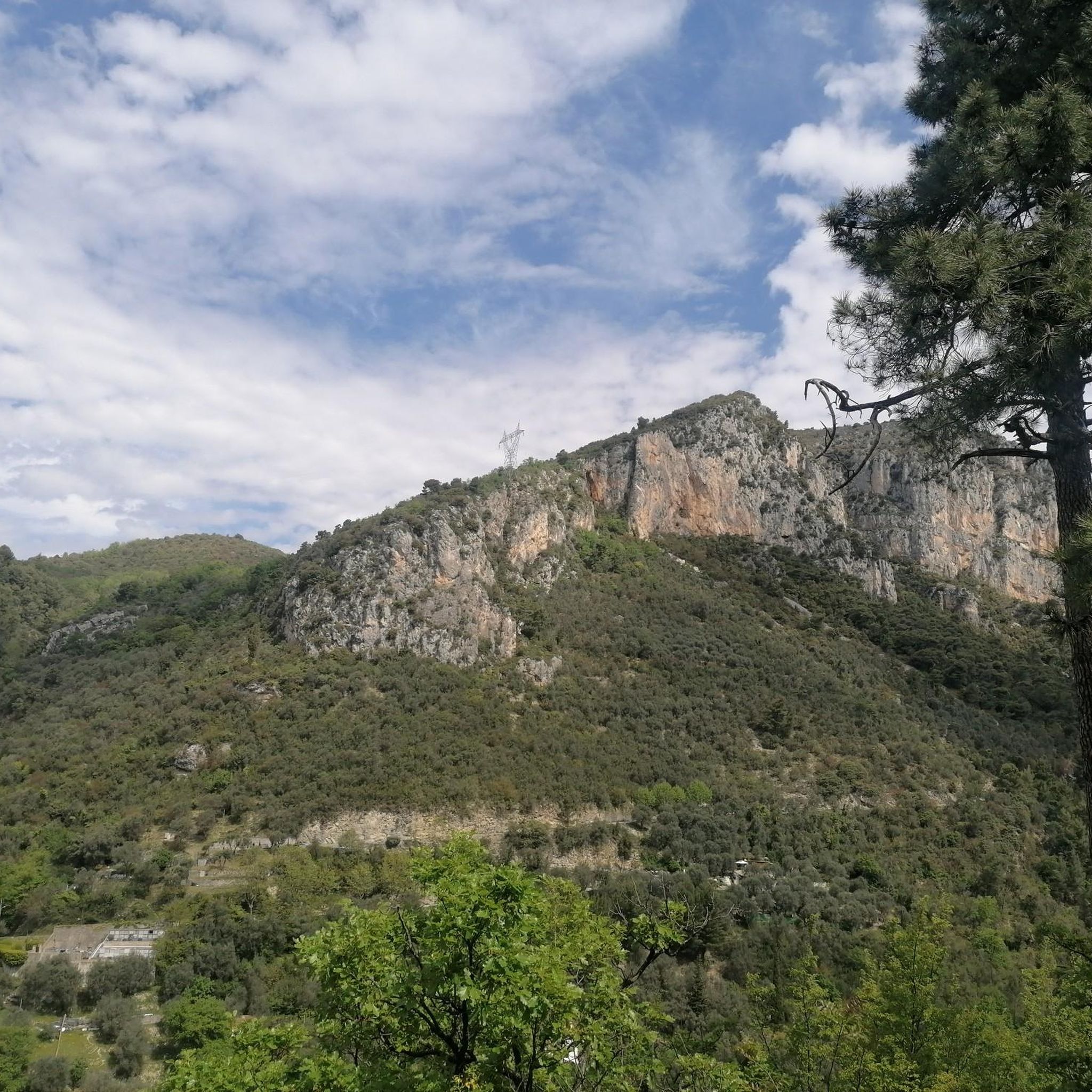
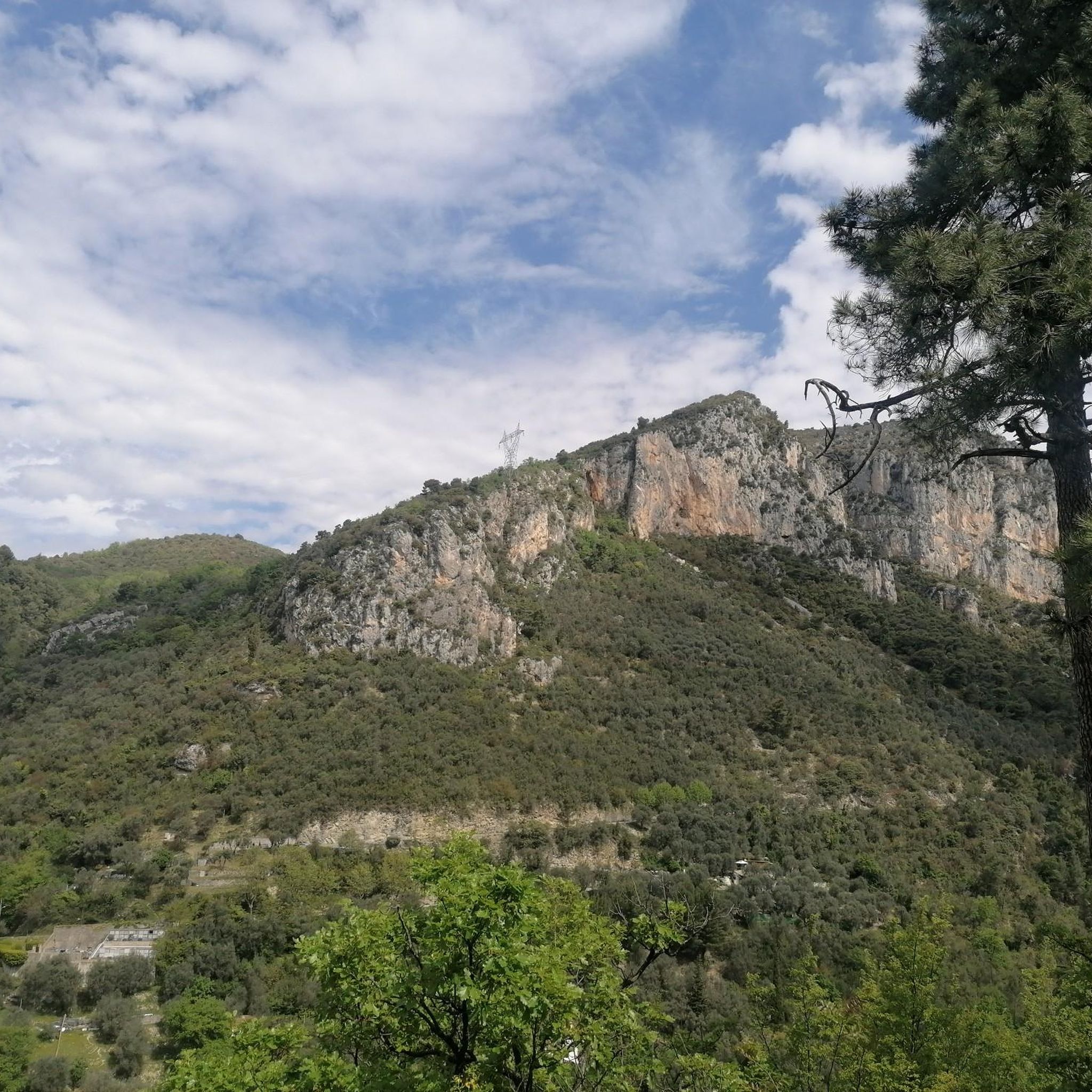
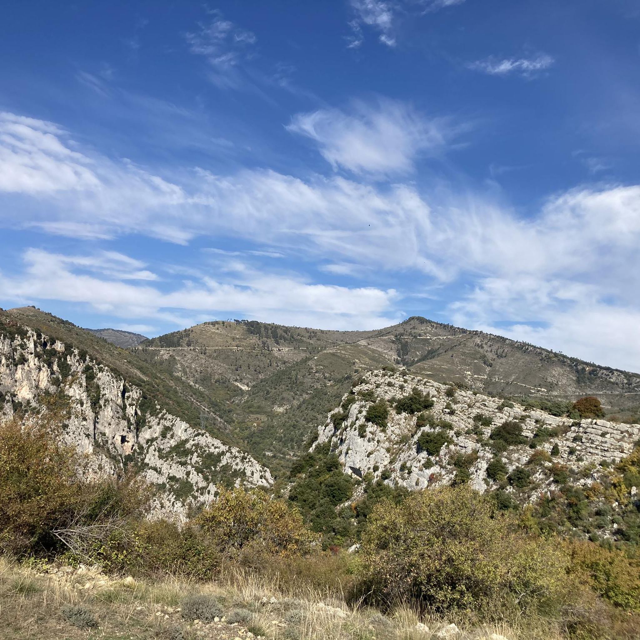
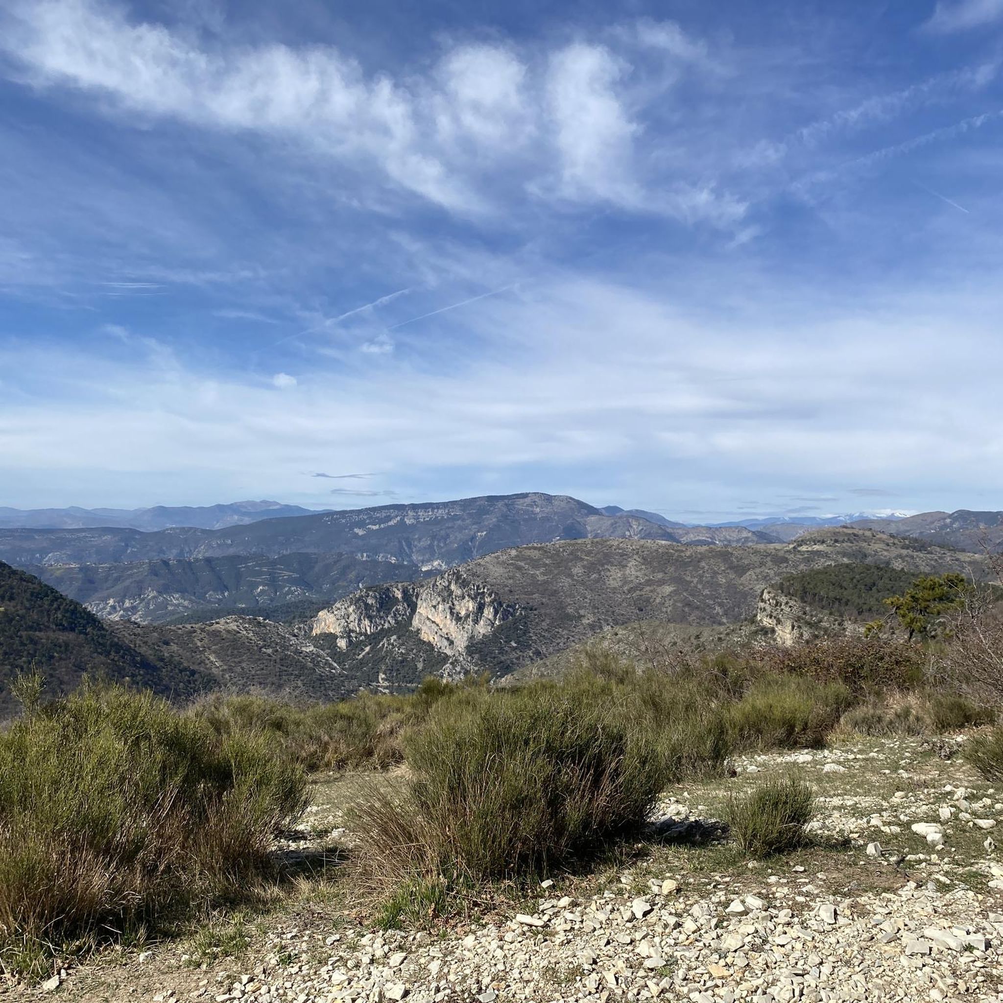
Hiking around L'Escarène offers diverse landscapes, from river valleys to mountain ridges, situated between the sea and the Mercantour National Park. The region features a significant altitudinal range, with the village at 360 meters and surrounding peaks reaching over 1000 meters. Over half of L'Escarène's territory is covered by pine and oak forests, providing extensive shaded paths and a rich natural environment. The Paillon river flows through the area, creating picturesque routes alongside ravines and gorges.
Best hiking trails around L'Escarène
- The most popular hiking route is From the summit of Baudon. – Baudon Summit loop from Peille, a 4.9 miles (7.9 km) trail that takes 3 hours 22 minutes to complete, offering panoramic views from the Cime du Baudon.
- Another top favourite among local hikers is Ruisseau de Redebraus – Waterfall loop from Touet-de-l'Escarène, an easy 3.2 miles (5.1 km) path that explores the Paillon valley and features the Ruisseau de Redebraus.
- Local hikers also love the View of Peillon – Peillon loop from Peille, a 6.9 miles (11.2 km) trail leading through varied terrain, often completed in about 3 hours 37 minutes.
- Hiking around L'Escarène is defined by extensive pine and oak forests, river valleys, and mountain ridges. The network offers options for various ability levels, from easy walks to more challenging ascents.
- The routes in L'Escarène are highly rated by the komoot community with an average score of 4.5 stars from over 1,500 reviews. More than 11,000 hikers have used komoot to explore L'Escarène's varied terrain.
Last updated: June 29, 2026
4.9
(17)
151
hikers
7.93km
03:22
560m
560m
Moderate hike. Good fitness required. Mostly accessible paths. Sure-footedness required.
4.7
(7)
72
hikers
5.15km
01:34
180m
180m
Easy hike. Great for any fitness level. Easily-accessible paths. Suitable for all skill levels.

Sign up for free
3.9
(18)
70
hikers
11.3km
03:39
490m
490m
Moderate hike. Good fitness required. Easily-accessible paths. Suitable for all skill levels.
4.6
(25)
103
hikers
9.87km
03:22
530m
530m
Moderate hike. Good fitness required. Easily-accessible paths. Suitable for all skill levels.
5.0
(3)
17
hikers
16.0km
04:43
460m
460m
Moderate hike. Good fitness required. Easily-accessible paths. Suitable for all skill levels.
Get access to more routes and recommendations from other explorers.
Sign up for free
Already have an account?
Our route recommendations are based on thousands of hikes, rides, and runs completed by other people on komoot.
Start today with a free account
Your next adventure awaits.
Login or Signup
Tips from the Community


Parish Church of the Transfiguration: it was built in the 18th century on the site of an old keep. It includes an old Romanesque chapel from the 12th century built to the north of the castle keep. This chapel was normally oriented east-west. The current choir of the church is located in this old chapel whose cul-de-four apse can be seen to the right of the main altar. At the beginning of the 16th century the church was enlarged by integrating the former location of the castle keep. This church includes two chapels where you can see a painting of the Madonna of the Rosary painted by Dragus in 1639, on the left, and the Death of Saint Joseph painted in 1722, on the right. The church was enlarged again in the mid-16th century after the demolition of the south wall. After this addition of a new bay towards the church square with a bell tower with a high octagonal lantern and a triangular pediment. The main altar is moved, which changes the orientation of the nave which becomes noticeably north-south. It is topped by an altarpiece decorated with a 17th century painting representing the Transfiguration.
3
0
Frequently Asked Questions
How many hiking trails are available around L'Escarène?
L'Escarène offers a vast network of over 240 hiking routes. These trails cater to various skill levels, with approximately 65 easy routes, 140 moderate routes, and 40 more challenging options.
What kind of landscapes can I expect to see while hiking in L'Escarène?
Hiking in L'Escarène provides a diverse range of landscapes, from the river valleys of the Paillon and Redebraus to extensive pine and oak forests. You'll also find mountain ridges offering panoramic views, with altitudes ranging from 220 meters to over 1000 meters. The area features picturesque ravines and gorges, such as the "Clue" de Braus.
Are there any easy, family-friendly hikes in L'Escarène?
Yes, L'Escarène has several easy routes suitable for families. One popular option is the Ruisseau de Redebraus – Waterfall loop from Touet-de-l'Escarène, an easy 5.1 km path that explores the Paillon valley and features a beautiful waterfall.
What are some notable viewpoints or landmarks I can discover on a hike?
Many trails offer stunning views. For instance, the Baudon Summit loop from Peille provides panoramic vistas from the Cime du Baudon. From higher points like Mont l'Ablé, you can enjoy views stretching to the Mercantour peaks and the coastline. You might also encounter historical sites like the medieval village of Èze or the impressive 40-meter high viaduct in L'Escarène itself.
Are there any circular hiking routes available?
Yes, L'Escarène is well-suited for circular hikes. Examples include the Baudon Summit loop from Peille, which is a moderate 7.9 km route, or the Waterfall loop from Touet-de-l'Escarène. Many routes are designed as loops, allowing you to start and end in the same location.
What is the best time of year to go hiking in L'Escarène?
L'Escarène offers hiking opportunities throughout much of the year. Spring and autumn generally provide the most pleasant temperatures for hiking, with vibrant flora in spring and beautiful colors in autumn. Summer can be warm, but the extensive pine and oak forests provide welcome shade on many paths. Winter hiking is also possible, especially on lower altitude trails.
Are there any trails that feature waterfalls or significant water features?
Yes, the region has several water features. The Ruisseau de Redebraus – Waterfall loop from Touet-de-l'Escarène specifically highlights a waterfall. You can also discover natural springs like the Source du Riou flowing between dramatic limestone cliffs, and the Paillon river itself creates picturesque valleys and ravines.
What do other hikers say about the trails in L'Escarène?
The trails in L'Escarène are highly regarded by the komoot community, holding an average rating of 4.5 stars from over 1,500 reviews. Hikers often praise the varied terrain, from shaded forests to open ridges, and the stunning panoramic views of the surrounding mountains and coastline.
Can I find challenging hikes in the L'Escarène area?
Absolutely. While there are many easy and moderate options, L'Escarène also offers about 40 difficult routes for experienced hikers. These can involve significant elevation changes and sometimes require off-trail navigation or scrambling, especially on routes leading to higher peaks like Mont Panard or Mont Scardélans.
Are there any historical or cultural points of interest to explore while hiking?
L'Escarène has a rich history as a stop on the ancient "Salt Road." You can incorporate visits to the village's medieval center, its Baroque church, and an old oil mill into your walks. Nearby, you can also explore charming villages like Touët-de-l'Escarène, Peille, and Lucéram, which offer their own historical appeal.
What are some longer hiking options for a full day out?
For a longer day out, consider routes like the Sensational viewpoint – Farguet Pass loop from Mont Méras, which covers approximately 16 km. The region also provides access to sections of longer routes such as the GR510 and GR51, offering extended trekking opportunities.
Is public transport available to access hiking trailheads in L'Escarène?
L'Escarène is generally accessible by public transport, which can help you reach the village itself. However, access to specific trailheads outside the village center might require further planning. It's advisable to check local bus schedules for routes connecting to smaller hamlets or popular starting points.
Are there any gorges or canyons to explore near L'Escarène?
Yes, the region is known for its dramatic geological features. The Paillon valley itself features picturesque ravines, and the "Clue" de Braus is a notable gorge nearby. You can also find highlights like the Gorges de la Vésubie in the wider area, offering impressive canyon landscapes.
Most popular routes around L'Escarène
Most popular attractions around L'Escarène

Get inspired with the komoot mobile app


Explore more
Browse the best Hikes in other regions.
