The best running trails around Peillon
4.5
(328)
30,824
runners
409
runs
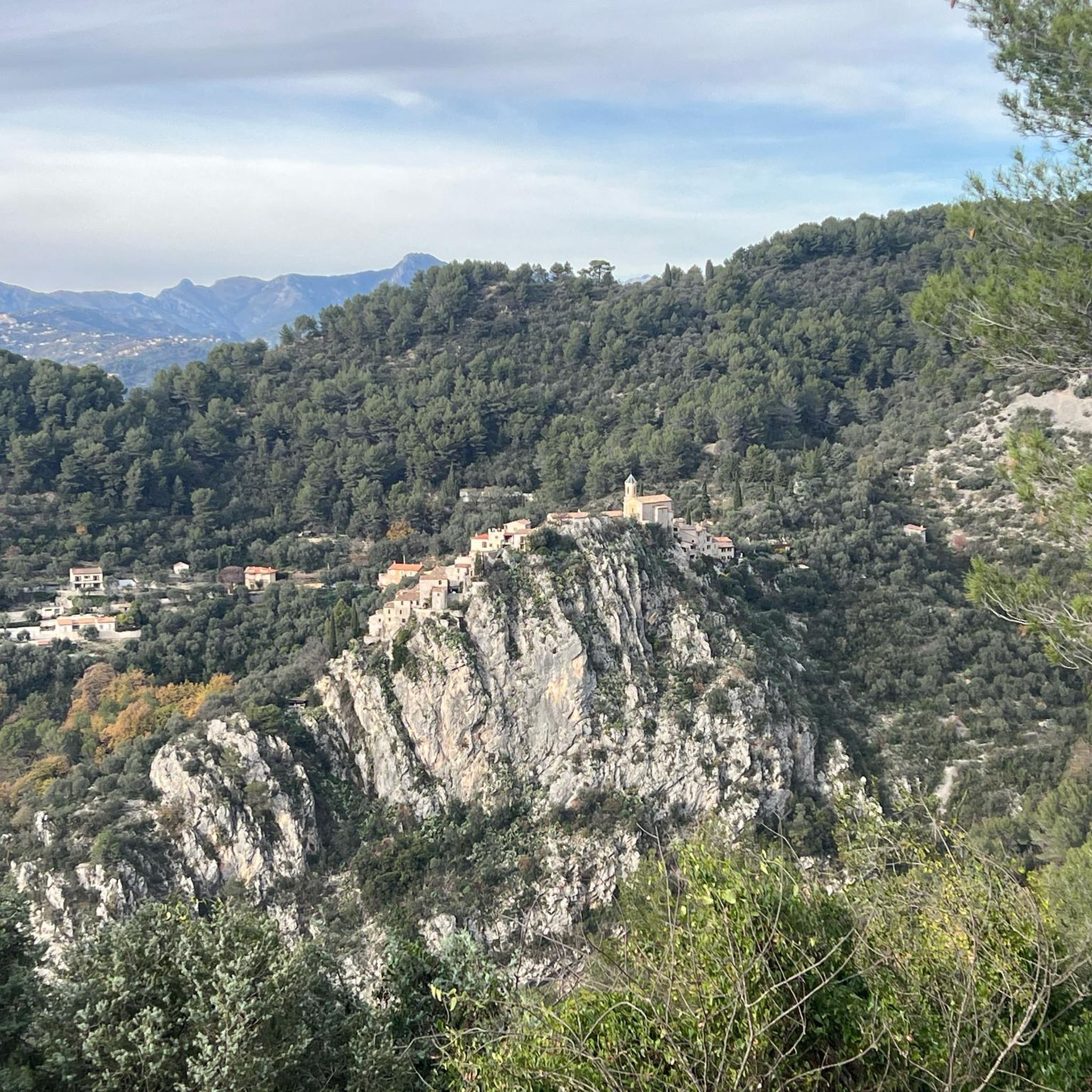
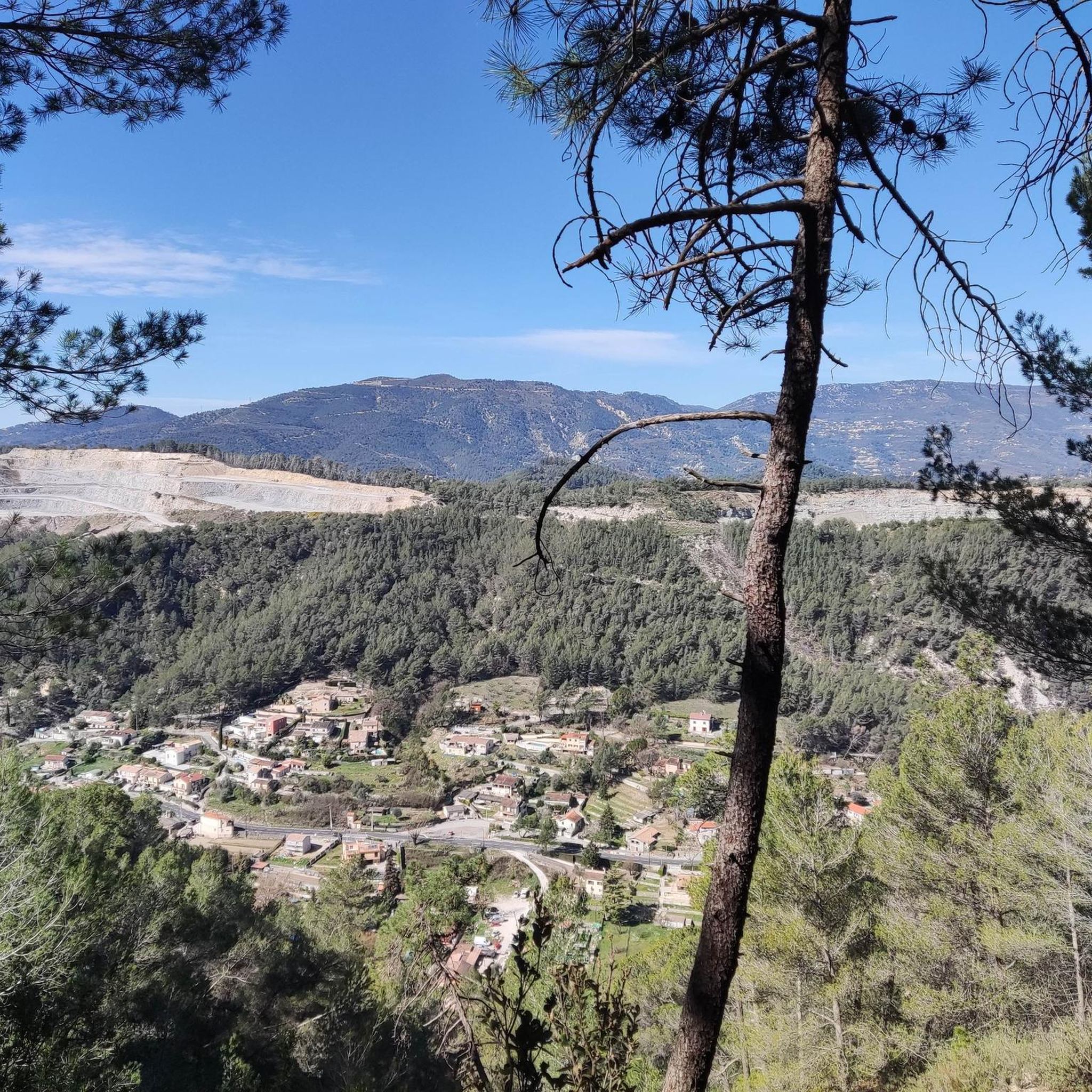
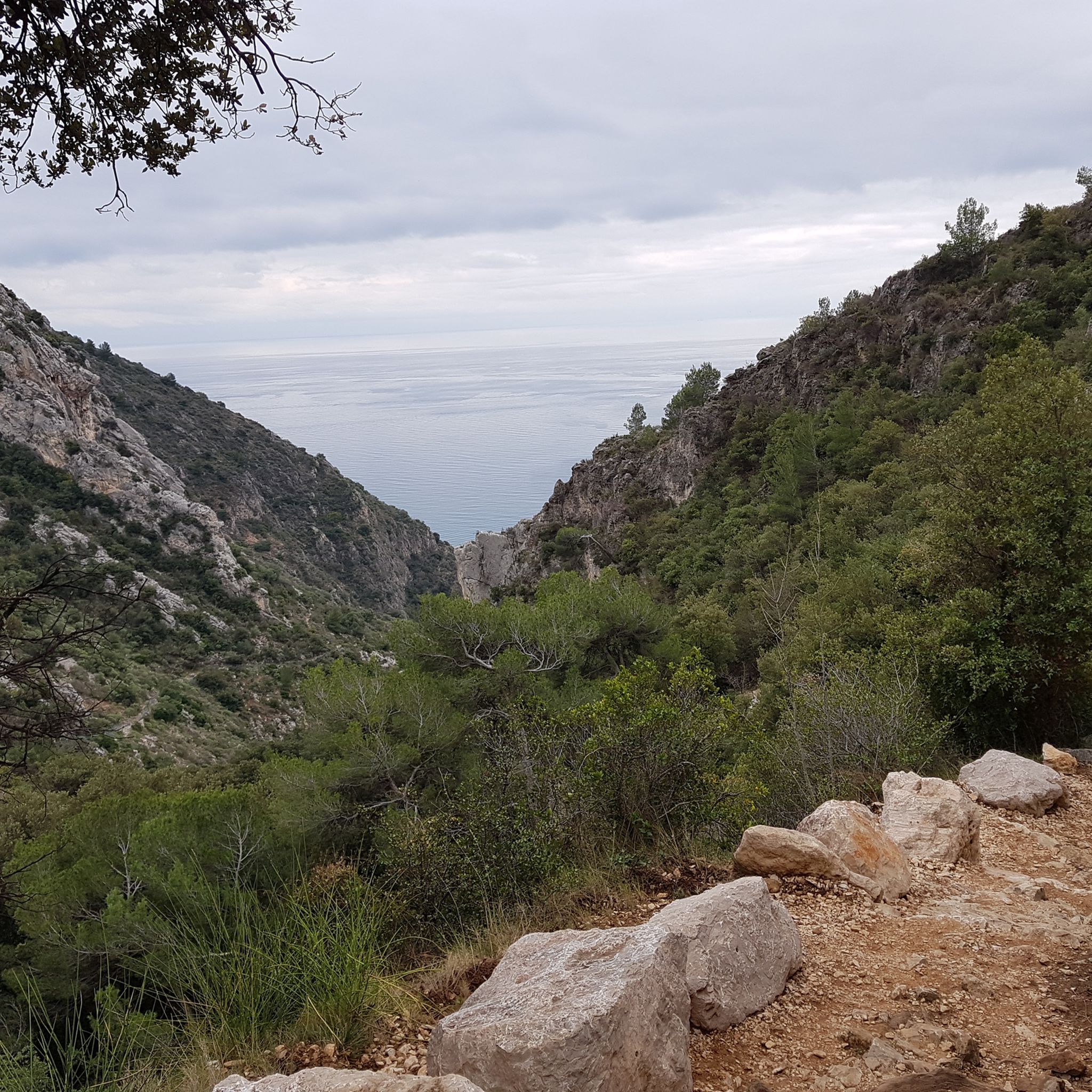
Jogging routes around Peillon offer a diverse and challenging experience within the Alpes-Maritimes department of France. The region is characterized by its hilly terrain, with significant elevation changes and panoramic views of surrounding valleys and the Mediterranean Sea. Joggers can expect routes that traverse lush greenery, olive groves, and the unique landscape of a "perched village" nestled on a sheer cliff. The area provides a tranquil escape with varied natural features suitable for active exploration.
Best jogging routes around Peillon
…Last updated: June 29, 2026
72
runners
22.1km
03:03
900m
890m
Hard run. Very good fitness required. Mostly paved surfaces. Suitable for all skill levels.
68
runners
8.10km
01:01
270m
270m
Moderate run. Good fitness required. Mostly paved surfaces. Suitable for all skill levels.

Sign up for free
40
runners
23.3km
03:25
1,220m
1,220m
Hard run. Very good fitness required. Mostly accessible paths. Some sure footedness required.
5.0
(3)
37
runners
9.24km
01:14
300m
300m
Hard run. Very good fitness required. Mostly accessible paths. Some sure footedness required.
42
runners
14.0km
02:07
740m
740m
Hard run. Very good fitness required. Mostly paved surfaces. Suitable for all skill levels.
Get access to more routes and recommendations from other explorers.
Sign up for free
Already have an account?
Our route recommendations are based on thousands of hikes, rides, and runs completed by other people on komoot.
Start today with a free account
Your next adventure awaits.
Login or Signup
Tips from the Community


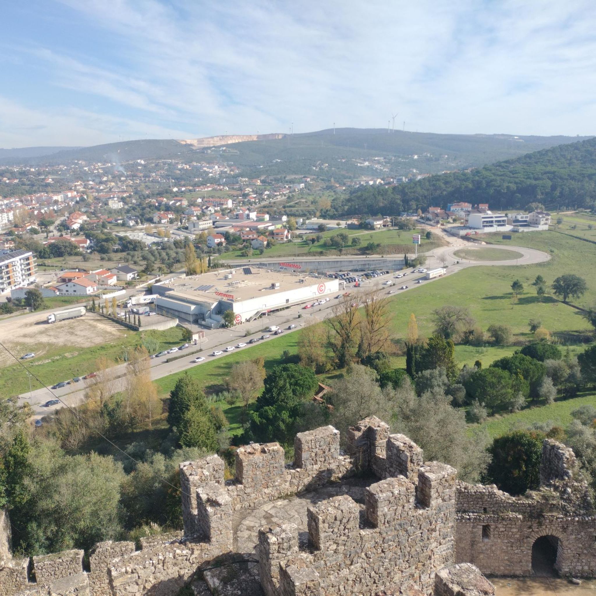
Nice view of La Turbie from the Cime de la Forna. In the background, the Mediterranean extends to Italy.
2
0

On the coastal road that connects Italy to the Maritime Alps, the Trophée de La Turbie marks the southern end of the range just before it drops into the Bay of Monaco. This in the year 7 or 6 B.C. Erected in 500 BC to celebrate the final subjugation of the Alpine population to Rome, it is an impressive monument from the period of ancient Rome and marks an important step in the development of imperial propaganda: its heroic architecture is reminiscent of the military achievements of Augustus and honor him as a god. Decayed into ruins in late antiquity, the Trophée became a heavily contested fortress from the Middle Ages. Restored in the mid-19th century, the building underwent extensive excavation and restoration work at the beginning of the 20th century, during which the western facade was completely reconstructed, preserving the remains in a spectacular form that became his most famous image. The preserved monument is at once a Roman ruin trophy, a dismantled fortress and a creation of neoclassical architects.
4
0
Very nice panoramic view over the Bay of Monaco.
3
0
Very nice view of the Bay of Monaco.
3
0
Beautiful path along the fortifications with a magnificent view.
3
0
Beautiful view of La Turbie and the Mediterranean.
3
0
Frequently Asked Questions
What is the typical terrain and difficulty for running routes around Peillon?
Running routes around Peillon are characterized by hilly terrain with significant elevation changes, offering a challenging yet rewarding experience. The region is nestled in the Prealps, with the commune ranging from 115 to 720 meters (377–2,362 ft) in elevation. You'll find paths traversing lush greenery, olive groves, and the unique landscape of a 'perched village' on a sheer cliff. There are over 400 routes in total, with 205 classified as difficult and 165 as moderate, ensuring options for various fitness levels.
Are there easy or beginner-friendly running routes in Peillon?
While many routes in Peillon feature challenging elevation, there are indeed easier options available. The komoot community has identified 33 routes as easy, making them suitable for beginners or those looking for a less strenuous run. These routes often provide a gentler introduction to the region's beautiful landscapes without the intense climbs.
What kind of scenery can I expect on running trails near Peillon?
Runners in Peillon can expect breathtaking panoramic views of the surrounding valleys, the Paillon River, and even the distant Mediterranean Sea. The trails wind through lush greenery and numerous olive trees, creating a serene natural environment. The unique 'perched village' setting also means you'll encounter historical charm, with medieval architecture and ancient pathways adding to the scenic beauty.
Are there any notable landmarks or viewpoints along the running routes?
Yes, several running routes offer access to significant landmarks and stunning viewpoints. You might pass by historical sites such as oratories, calvaries, and the Chapel of Our Lady of Sorrows with its 15th-century frescoes. For panoramic vistas, consider routes that lead to viewpoints near the Saint Roch Church or the Parish Church of Saint-Sauveur. Additionally, you can find routes near Col d'Eze Ascent or Fort du Mont Alban, which offer spectacular views.
Can I bring my dog on the running trails in Peillon?
Peillon's extensive network of trails is generally welcoming to dogs, making it a great destination for running with your canine companion. However, it's always recommended to keep your dog on a leash, especially in more populated areas or near wildlife, and to be mindful of local regulations. Ensure your dog is fit for the hilly terrain and bring enough water for both of you.
Are there family-friendly running options in Peillon?
For families looking to enjoy a run together, Peillon offers several routes that are considered easy. These paths are generally less demanding in terms of elevation and distance, making them suitable for children or those who prefer a leisurely pace. The beautiful natural surroundings and historical village provide an engaging backdrop for a family outing.
Are there circular running routes available in Peillon?
Yes, many of the running routes around Peillon are designed as loops, allowing you to start and finish at the same point. For example, the La Turbie – Trophy of Augustus loop from La Turbie is a popular option, as is the Fort de la Revère – View of Monaco and Nice loop from La Turbie. These circular paths are convenient for exploration and ensure you don't have to retrace your steps.
How can I get to the running trails, and is parking available?
Peillon is located just 20 km north of Nice, making it accessible by car. Parking is generally available near the village center or at designated trailheads, though it can be limited in the medieval village itself, which is car-free. Public transport options, such as local buses, also connect Peillon to nearby towns, providing an alternative way to reach the area and access various starting points for your run.
What is the best time of year to go running in Peillon?
The spring and autumn months are generally considered the best times for running in Peillon. During these seasons, the weather is typically mild and pleasant, with comfortable temperatures for outdoor activity. Summer can be quite hot, especially at midday, so early morning or late afternoon runs are advisable. Winter offers cooler temperatures, but trails can be wet or muddy after rain.
What are the typical trail surfaces like for running in Peillon?
The running trails in Peillon feature a variety of surfaces. You'll encounter natural paths through forests and olive groves, which can be a mix of dirt, gravel, and rocky sections. Some routes may also include paved sections, especially when passing through villages or along quieter roads. The medieval village itself has winding stone streets and staircases, offering a unique surface for a short, exploratory jog.
What do other runners enjoy the most about jogging in Peillon?
The running routes in Peillon are highly rated by the komoot community, with an average score of 4.5 stars from over 300 reviews. Runners often praise the stunning panoramic views, the challenging yet rewarding hilly terrain, and the serene atmosphere of the olive groves. The unique blend of natural beauty and historical charm, especially within the 'perched village' setting, is also a frequently highlighted aspect.
How many running routes are available in the Peillon area?
There are over 400 running routes available in the Peillon area, offering a vast selection for all types of runners. This extensive network includes 33 easy routes, 165 moderate routes, and 205 difficult routes, ensuring that whether you're looking for a gentle jog or a challenging trail run, you'll find suitable options.
Most popular attractions around Peillon

Get inspired with the komoot mobile app


Explore more
Browse the best Running Trails & Routes in other regions.
