The best MTB trails around Charnat
4.4
(51)
193
riders
60
rides
Mountain biking around Charnat, located in the Puy-de-Dôme department of France, offers a diverse landscape for riders. The region features a mix of rolling hills, forested areas, and water bodies like lakes and ponds, providing varied terrain for mountain bike trails. Riders can expect paths that traverse through natural environments, with some routes incorporating climbs and descents characteristic of the Auvergne region. The area's natural setting supports a network of trails suitable for different skill levels.
Best mountain bike trails…
Last updated: June 27, 2026
4.1
(7)
25
riders
35.0km
02:52
600m
600m
Moderate mountain bike ride. Good fitness required. Suitable for all skill levels.
14
riders
83.2km
07:41
1,920m
1,920m
Hard mountain bike ride. Very good fitness required. Advanced riding skills necessary.

Sign up for free
4.0
(2)
8
riders
33.4km
03:13
880m
880m
Moderate mountain bike ride. Good fitness required. Suitable for all skill levels.
4.0
(3)
4
riders
27.6km
01:49
210m
210m
Moderate mountain bike ride. Great for any fitness level. Advanced riding skills necessary.
4.8
(5)
5
riders
22.8km
01:47
420m
420m
Moderate mountain bike ride. Good fitness required. Suitable for all skill levels.
Get access to more routes and recommendations from other explorers.
Sign up for free
Already have an account?
Our route recommendations are based on thousands of hikes, rides, and runs completed by other people on komoot.
Start today with a free account
Your next adventure awaits.
Login or Signup
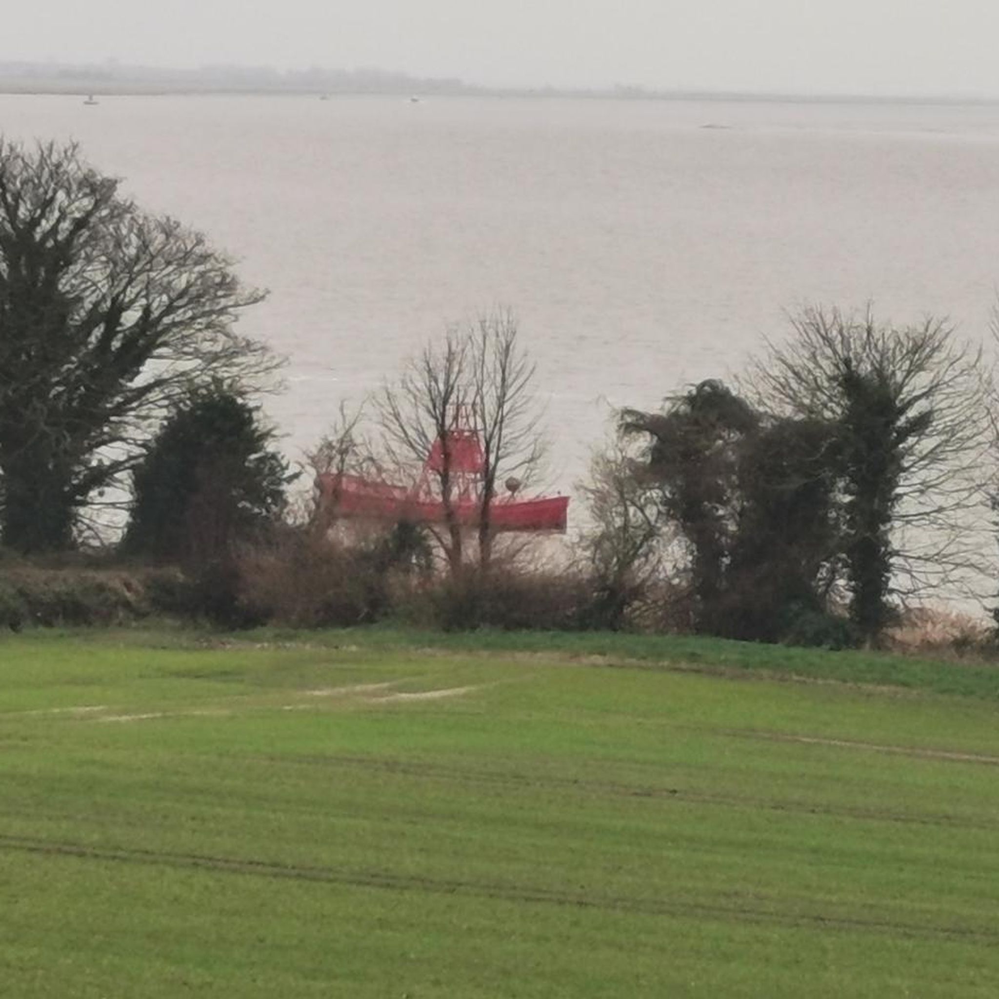

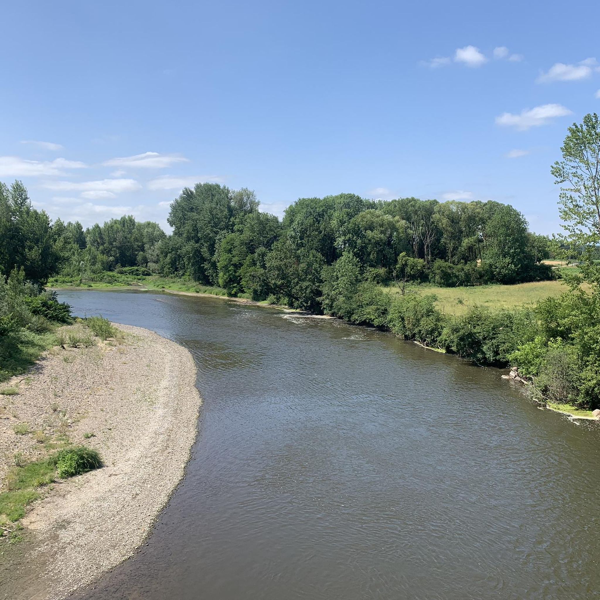


Tips from the Community

Approximately 19 meters high, this dam holds back water from the Credogne and Etivaux streams. It also provides a peaceful place to relax.
0
0

Wonderful view. Definitely worth it
0
0
Great area for mountain biking
0
0

The Prades lake is a designated green resort. It features two beaches and offers a wide range of activities, including lovely hikes in the surrounding area.
0
0
Nice view of the Livradois-Forez and the Prades lake in Saint-Rémy-sur-Durolle.
0
0
The Calvary (Christian monument comprising between one and three crosses) of Saint-Rémy-sur-Durolle also offers a magnificent view.
0
0

Châteldon is a very pretty village located between the Dore valley and the foothills of the Bois Noirs, in the territory of the Livradois-Forez Regional Natural Park. It enjoys a remarkable natural environment and a castle town of medieval origin. The commune of Châteldon is approved as a “Small city of character”. To see: The Castle and the half-timbered houses, Vauziron valley Bar-Tabac and Bakery for express ravito.
0
0
Frequently Asked Questions
How many mountain bike trails are available around Charnat?
There are over 50 mountain bike trails around Charnat, offering a diverse range of options for riders. These include routes of varying difficulty, from easy to difficult, traversing the region's natural landscapes.
What are the difficulty levels of mountain bike trails in Charnat?
The trails around Charnat cater to various skill levels. You'll find approximately 12 easy routes, 29 moderate routes, and 11 difficult routes, ensuring options for beginners to experienced mountain bikers.
Are there any long-distance mountain bike routes for experienced riders?
Yes, for experienced riders seeking a challenge, the Toller Trail – Muratte Reservoir loop from Puy-Guillaume is a difficult 52.3-mile (84.2 km) route with significant elevation changes, offering extensive natural scenery.
Can I find circular mountain bike routes in Charnat?
Many of the mountain bike routes in Charnat are designed as loops. For example, the popular Étang d'Iloa – Lac de Courty loop from Paslières is a moderate 17.8-mile (28.7 km) trail that explores lakes and natural landscapes.
What kind of terrain can I expect on the mountain bike trails around Charnat?
Mountain biking around Charnat features a mix of rolling hills, dense forested areas, and routes that pass by lakes and ponds. Riders can expect paths that traverse natural environments, often incorporating climbs and descents characteristic of the Auvergne region.
Are there mountain bike routes that feature water bodies like lakes or reservoirs?
Yes, several routes highlight the region's water features. The Étang des Graviers loop from Paslières is a 17.2-mile (27.6 km) trail that leads through areas with water features and woodlands. Another option is the Étang d'Iloa – Lac de Courty loop from Paslières, which explores lakes and surrounding natural landscapes.
What natural features or landmarks can I see while mountain biking in Charnat?
While mountain biking, you can explore the region's natural beauty, including its lakes and forests. You might also encounter historical sites like Châteldon Castle or Maulmont Castle, which are notable landmarks in the area.
Are there any historical sites or castles accessible by mountain bike?
Yes, the region around Charnat has historical sites. For instance, the Châteldon Castle loop from Puy-Guillaume is a moderate 22.8-mile (22.8 km) route that takes you past the historic Châteldon Castle. You can also find Maulmont Castle and the Randan Royal Estate nearby.
What do other mountain bikers say about the trails in Charnat?
The mountain bike trails in Charnat are highly rated by the komoot community, with an average score of 4.5 stars from over 40 reviews. Riders often praise the diverse terrain, from forested paths to open countryside, and the well-maintained routes around lakes and reservoirs.
What is the typical duration for mountain bike tours in Charnat?
The duration of mountain bike tours in Charnat varies depending on the route and your pace. Moderate trails like the Étang d'Iloa – Lac de Courty loop from Paslières typically take around 2 hours 15 minutes, while more challenging routes can extend to several hours, such as the Toller Trail – Muratte Reservoir loop from Puy-Guillaume, which can take over 7 hours.
Are there any specific starting points or trailheads for mountain biking in Charnat?
Yes, common starting points for mountain bike routes in the area include Paslières and Puy-Guillaume. Many trails, such as the Étang d'Iloa – Lac de Courty loop and the Étang des Graviers loop, begin from Paslières. Routes like the Toller Trail – Muratte Reservoir loop and the Châteldon Castle loop start from Puy-Guillaume.
Most popular attractions around Charnat

Get inspired with the komoot mobile app


Explore more
Browse the best MTB trails in other regions.
