The 20 Most Amazing Peaks around Breil-Sur-Roya
Best mountain peaks around Breil-Sur-Roya are situated in the Alpes-Maritimes region of France, offering diverse terrain and expansive views. This area is characterized by its mountainous landscape, providing opportunities for various hikes and exploration. It is also part of the Mercantour National Park, a region recognized for its ecological and archaeological significance. The peaks here feature both natural beauty and historical elements, contributing to a unique outdoor experience.
Best mountain peaks around Breil-Sur-Roya
- The most popular mountain peaks is The…
Last updated: July 7, 2026
The Cradle
Highlight • Summit
Translated by Google •
Tip by

Cime du Diable
Highlight • Summit
Translated by Google •
Tip by

Sign up now to discover places like this
Get recommendations on the best single tracks, peaks, & plenty of other exciting outdoor places.
Sign up for free
Marta's Balcony
Highlight • Viewpoint
Translated by Google •
Tip by

Monte Toraggio
Highlight • Summit
Tip by

Roc de l'Orméa
Highlight • Summit
Tip by

Sign up for free to discover even more peaks around Breil-Sur-Roya.
Sign up for free
Already have an account?
Start today with a free account
Your next adventure awaits.
Login or Signup
Popular around Breil-Sur-Roya
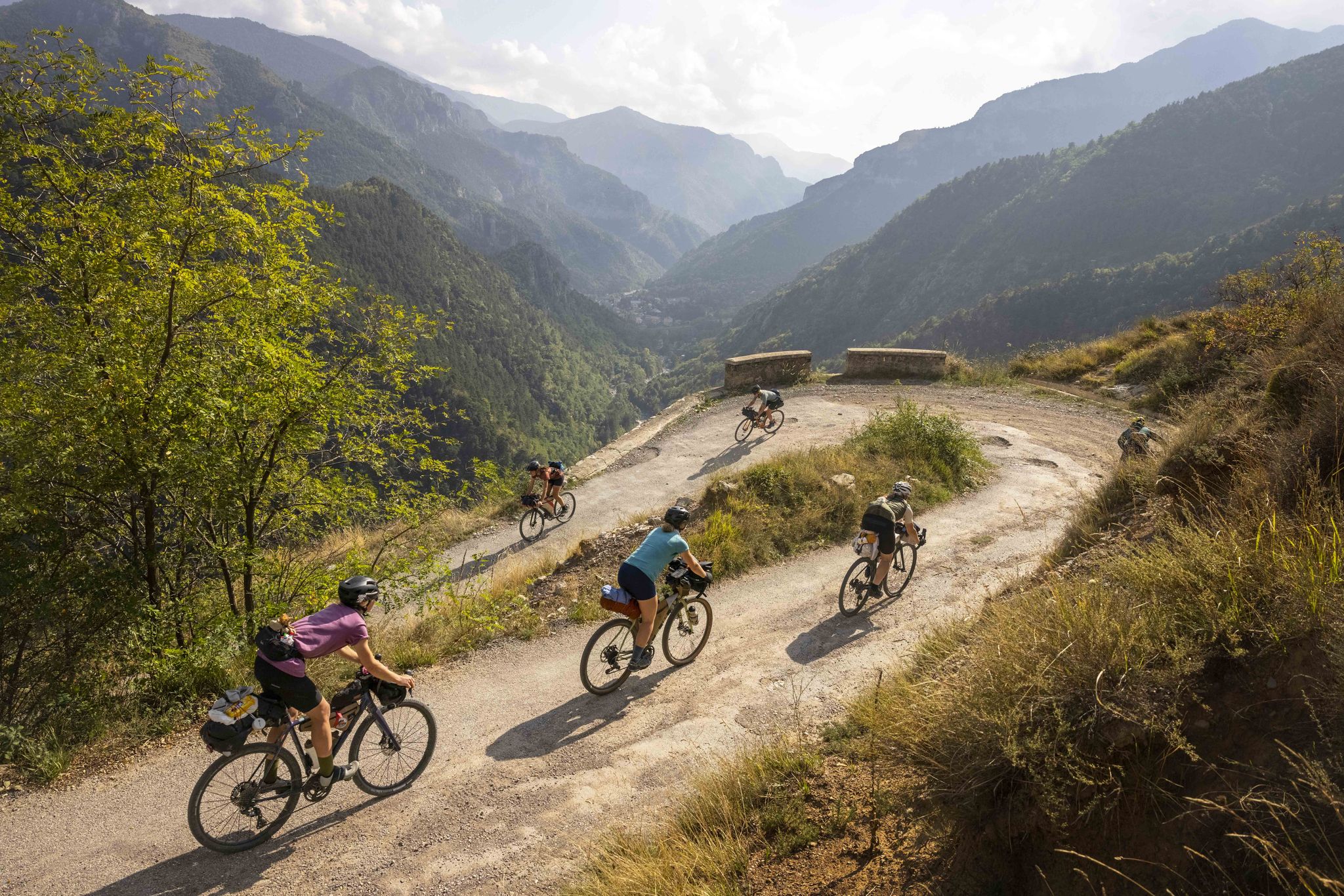
Lael's 2021 Komoot Women's Torino Nice Rally

The Komoot Torino-Nice Rally
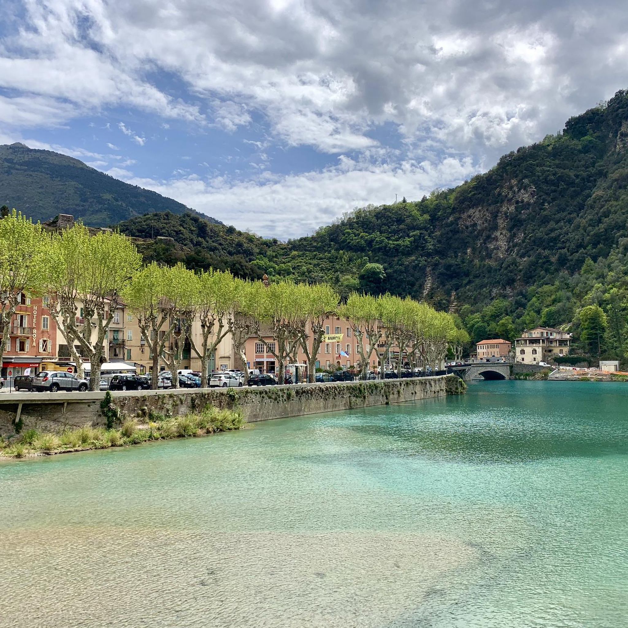
Hiking around Breil-Sur-Roya
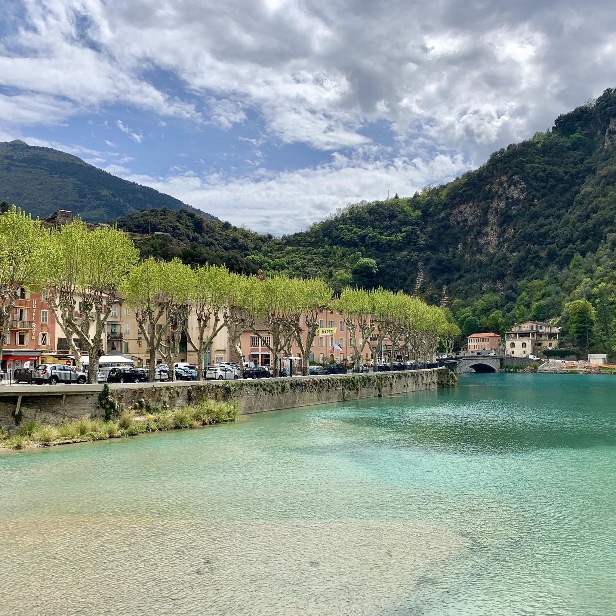
Cycling around Breil-Sur-Roya
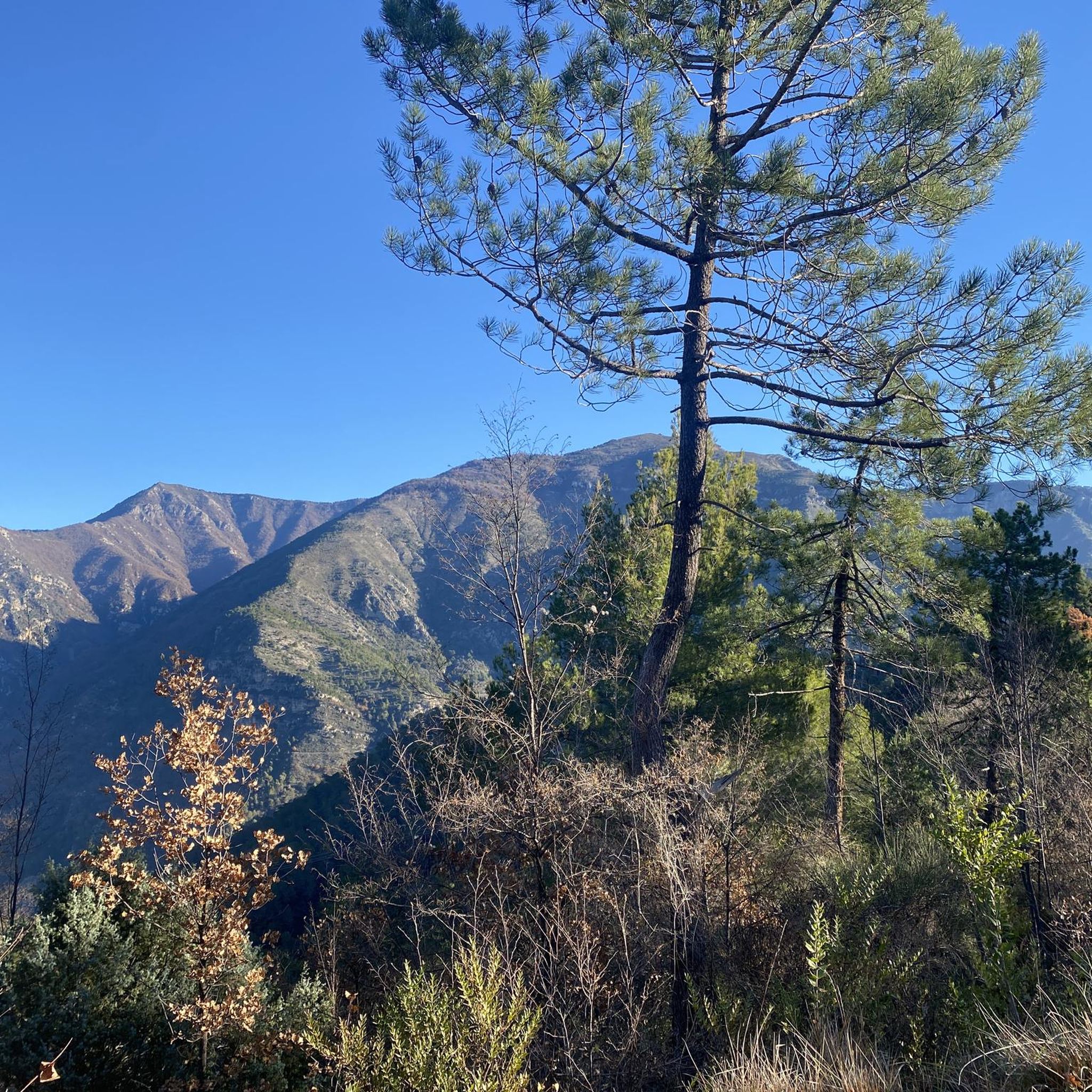
Road Cycling Routes around Breil-Sur-Roya
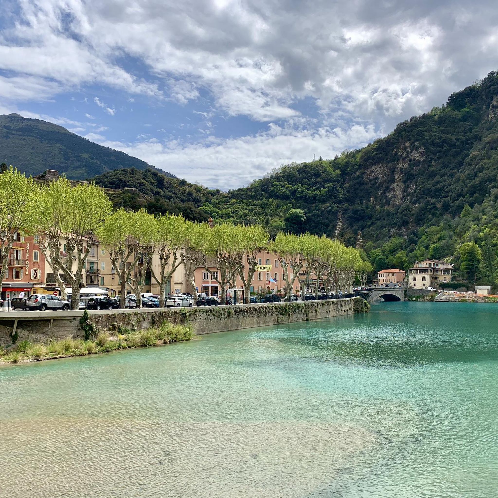
MTB Trails around Breil-Sur-Roya
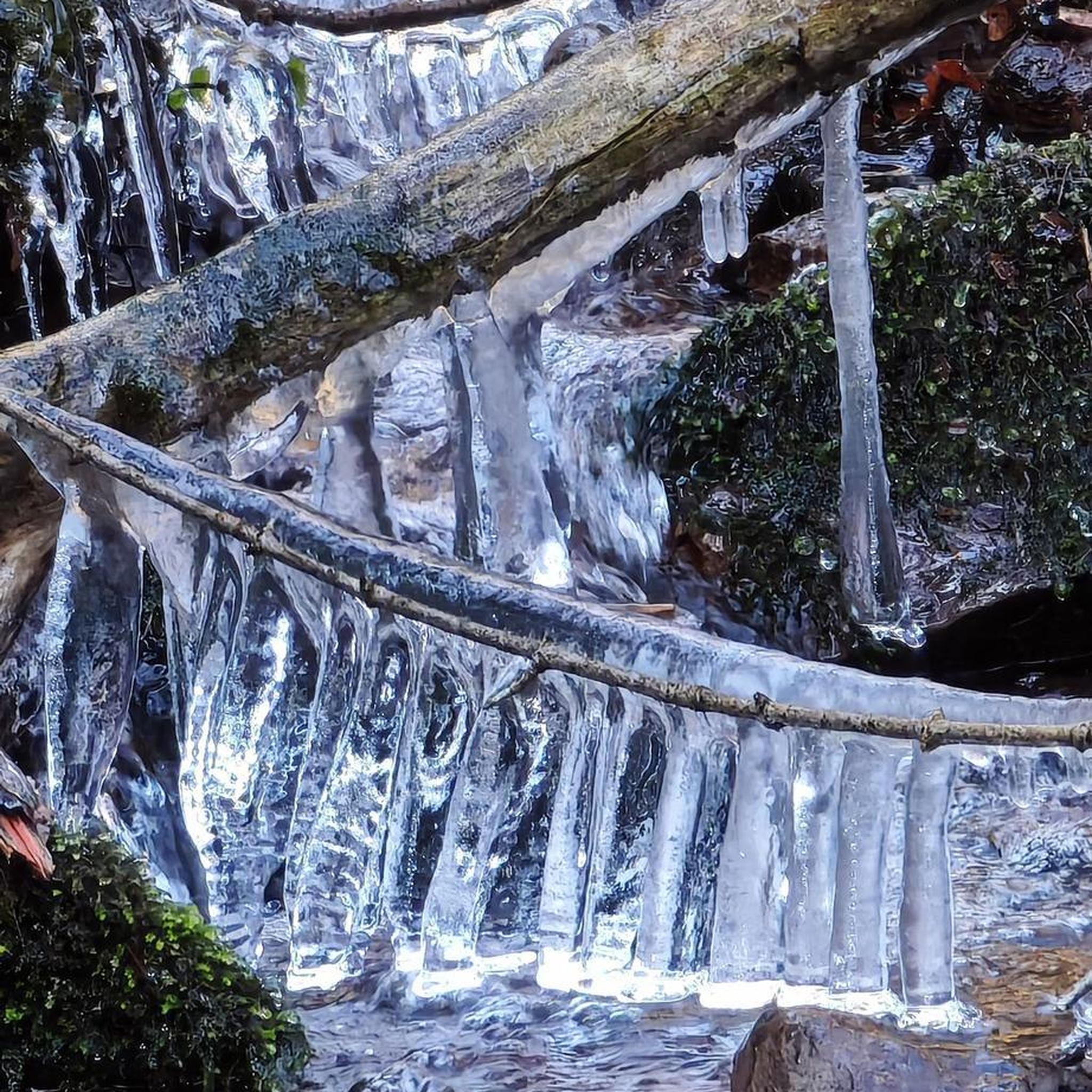
Gravel biking around Breil-Sur-Roya
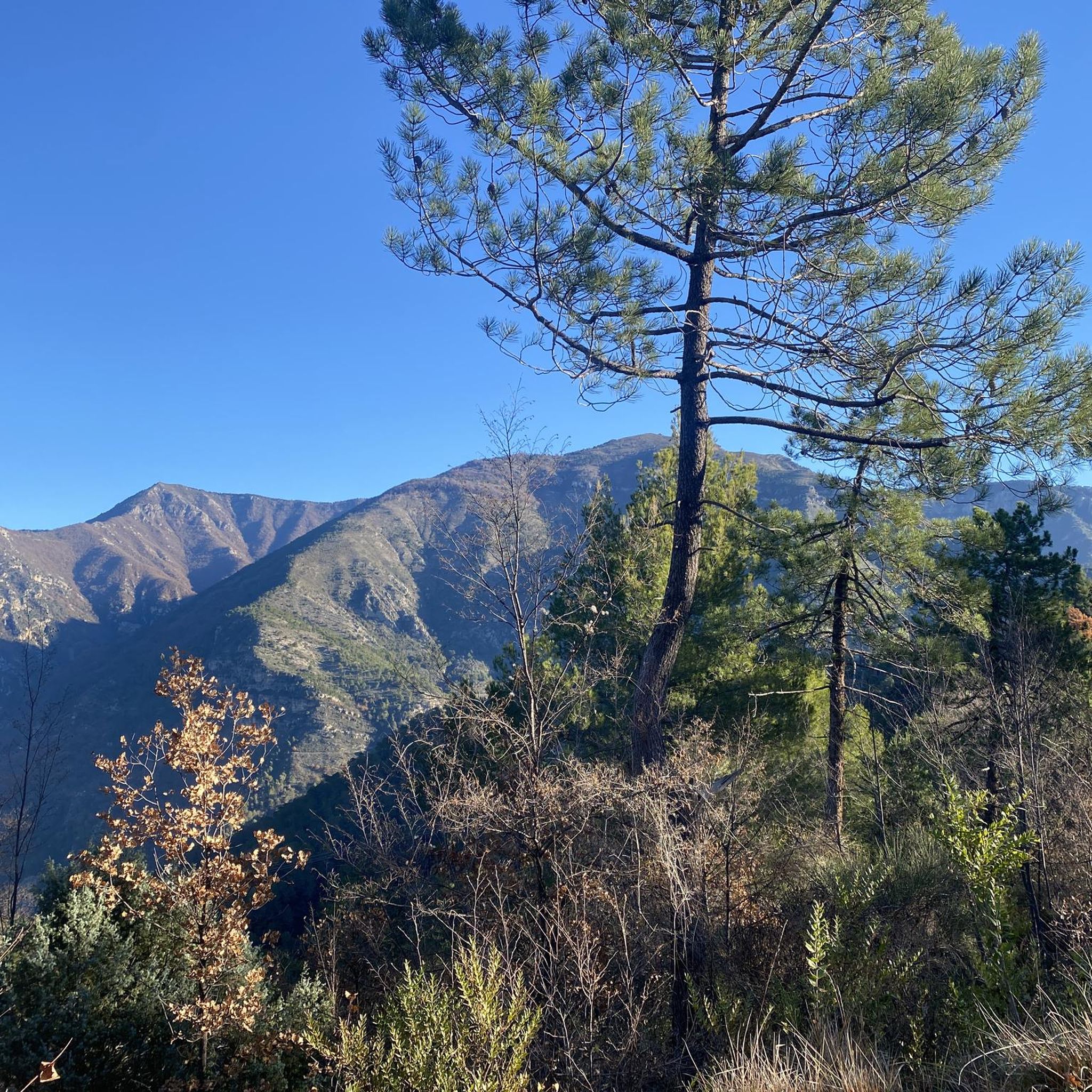
Running Trails around Breil-Sur-Roya
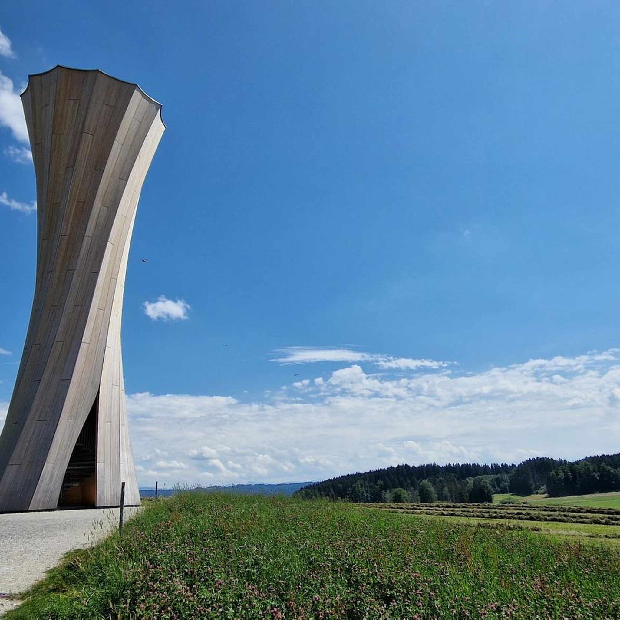
Mountain Hikes around Breil-Sur-Roya
Other adventures around Breil-Sur-Roya


Tips from the Community

Demanding climb, rough terrain, but what a reward up there… 🌄 Between sky, sea, and relief, the scenery is simply exceptional. A hike that puts you in your place and reminds you why we love the mountains 💪
0
0

The Barcone Battery, also known as the 605th S.P. Battery (Sempre Pronta, "Always Ready"), consists of four artillery casemates connected to a transverse service tunnel, at either end of which are two entrance corridors. Tip for visiting the Balcone di Marta fort: The entrance to the fort is a last-minute sight, so bring a powerful, but especially long-lasting, flashlight. The fort is large, and there are 132 steps to descend to reach the batteries. It takes about an hour to tour it. However, don't risk getting lost. A map of the fort can be found here: http://valloalpino.altervista.org/bunker/mroj/bdm/bdm1-000.htm Entrance is through the infantry entrance; the other has collapsed.
0
0

Beautiful view and adrenaline at its peak
2
0
Marta's Balcony, famous for two reasons: the underlying underground fort from the Second World War (the largest still existing in the Western Alps) and the view. Marta's Balcony is called this way because it offers an infinite view. On completely clear days, you can even see the Mole Antonelliana in Turin. It is no coincidence that they built the fort there. If you want to visit the fort I recommend entering from the second door, leaving your bike in the first room on the ground floor and going down. The complete visit lasts about an hour. There are lots of steps and a difference in height of about 100m. Apart from the fear of the dark, everything is safe.
3
0
if you are lucky, just before the summit there is the Fonte Dragurina which spits drinkable water, but it is often dry in summer.
3
0

ridden by all-mountain riders accustomed to these exposed tracks. to be covered with absolute attention, it certainly pays off the effort to get there.
2
0

Magnificent panorama of the Maritime and Ligurian Alps.
2
0

Frequently Asked Questions
What are some of the most popular mountain peaks to explore around Breil-sur-Roya?
Among the most popular peaks, you'll find The Cradle, known for its unique flat area between two peaks and initial views of Menton and the sea. Another favorite is Roc de l'Orméa, which offers amazing 360-degree views from an easy-to-follow trail. Cime du Diable is also highly regarded for its exceptional all-round visibility, especially in the morning.
Which peaks offer the best panoramic views of the region?
For breathtaking panoramic views, consider Roc de l'Orméa, which provides a 360-degree vista. Mont Mangiabo also offers an impressive 360-degree panorama, stretching from the Mediterranean Sea to the Mercantour National Park. The peaks of Les Forts d'Authion (Pointe des Trois Communes, Forca, and Mille Fourches) provide magnificent views spanning both the Mediterranean Sea and the Mercantour massif.
Are there any mountain peaks with historical significance near Breil-sur-Roya?
Yes, several peaks in the area have historical importance. Marta's Balcony is famous for an underlying underground fort from World War II. Les Forts d'Authion feature ancient military forts that guarded the French-Italian border. Mont Gros also contains a barracks of the Maginot Line, adding a historical dimension to your hike.
What are some accessible or family-friendly mountain peaks in the area?
For an accessible option, the trail to Roc de l'Orméa is easy to follow and not particularly steep. Mont Mangiabo is also considered accessible for many hikers as its ascent is not technically difficult. The Cradle at Col du Berceau offers a flat, inviting space with lawns and pine forests, perfect for relaxation.
What is the best time of year to hike the mountain peaks around Breil-sur-Roya?
The summer months, particularly July, are recommended for ascents like Cime du Diable, especially in the morning when the sky is clear. Early October can still be accessible for many routes, but it's always wise to check current conditions, as some areas may have seasonal closures or require specific gear like trekking poles with rubber stoppers.
Are there challenging mountain peaks for experienced hikers?
Yes, for experienced hikers, Cime du Diable offers a challenging ascent with a notably steep section towards the end. Monte Toraggio presents a distinctive hiking experience with an infamous mountain ledge and an exposed path, sometimes requiring assistance from a metal rope.
Can I find any unique natural features or landmarks on these peaks?
Beyond stunning views, you can find unique features like the 'cradle' shape formed by Roc de Restaud and Orméa at The Cradle. Monte Toraggio is notable for being an international border and having a potentially drinkable water source, Fonte Dragurina, near its summit (though it can be dry in summer).
What outdoor activities, besides peak bagging, can I do near the mountain peaks?
The region around Breil-sur-Roya offers a variety of outdoor activities. You can explore numerous hiking trails, including easy, moderate, and difficult options. There are also extensive road cycling routes and challenging MTB trails. For more details on routes, check out the guides for Hiking around Breil-Sur-Roya, Road Cycling Routes around Breil-Sur-Roya, and MTB Trails around Breil-Sur-Roya.
Are there specific hiking trails recommended near these peaks?
Yes, there are many hiking trails. For a moderate hike, consider the Carleva Valley Circuit from Breil-sur-Roya or the Libre Loop. If you're looking for something more challenging, the route from Colla Sgora to Col de Peigairole (Alta Via dei Monti Liguri) is a difficult option. You can find more hiking routes in the Hiking around Breil-Sur-Roya guide.
What should I know about hiking in Mercantour National Park?
The Mercantour National Park, which encompasses many of these peaks, is renowned for its rich archaeological and ecological significance, including prehistoric rock engravings in the Vallée des Merveilles. When hiking in this area, be aware that trekking poles are only permitted if equipped with rubber stoppers, and it is crucial to stay on marked paths. Specific regulations regarding dogs may also apply within the park.
Are there any specific rules or tips for hiking on these mountain peaks?
When hiking to peaks like Cime du Diable, trekking poles are only allowed if they have rubber stoppers, and you must stay on marked paths. For Marta's Balcony, if visiting the fort, bring a powerful, long-lasting flashlight as it's large and dark inside. Always carry a map, as signposts are not everywhere, and cairns can help with orientation.
What kind of terrain can I expect when hiking the peaks around Breil-sur-Roya?
The terrain around Breil-sur-Roya is diverse. You can expect well-defined trails, but also sections that lead over rocks, as seen on the way to Cime du Diable. Some paths, like parts of Monte Toraggio, can be very exposed. High-top shoes are often recommended for stability and protection on varied surfaces.
Most popular routes around Breil-Sur-Roya
Most popular attractions around Breil-Sur-Roya

Get inspired with the komoot mobile app


Explore more
See even more amazing summits around Breil-Sur-Roya with these guides:
