The best running trails around Montchauvet
4.4
(50)
2,265
runners
237
runs
Jogging around Montchauvet offers routes through a landscape characterized by gently rolling terrain and a mix of agricultural fields and small woodlands. The region features modest elevation changes, making it suitable for various running paces and fitness levels. Trails often follow quiet country lanes and paths, providing a consistent surface for runners. This area provides opportunities for runners to experience the rural environment of Montchauvet.
Best jogging routes around Montchauvet
- The most popular jogging route is Running loop from Boinvilliers…
Last updated: July 5, 2026
6
runners
13.0km
01:22
80m
80m
Moderate run. Good fitness required. Mostly paved surfaces. Suitable for all skill levels.
5
runners
9.05km
00:56
40m
40m
Moderate run. Good fitness required. Mostly paved surfaces. Suitable for all skill levels.

Sign up for free
6
runners
10.0km
01:03
70m
70m
Moderate run. Good fitness required. Mostly paved surfaces. Suitable for all skill levels.
4
runners
13.4km
01:24
90m
90m
Moderate run. Good fitness required. Mostly paved surfaces. Suitable for all skill levels.
3
runners
9.55km
01:01
90m
90m
Moderate run. Good fitness required. Mostly paved surfaces. Suitable for all skill levels.
Get access to more routes and recommendations from other explorers.
Sign up for free
Already have an account?
Our route recommendations are based on thousands of hikes, rides, and runs completed by other people on komoot.
Start today with a free account
Your next adventure awaits.
Login or Signup

Tips from the Community

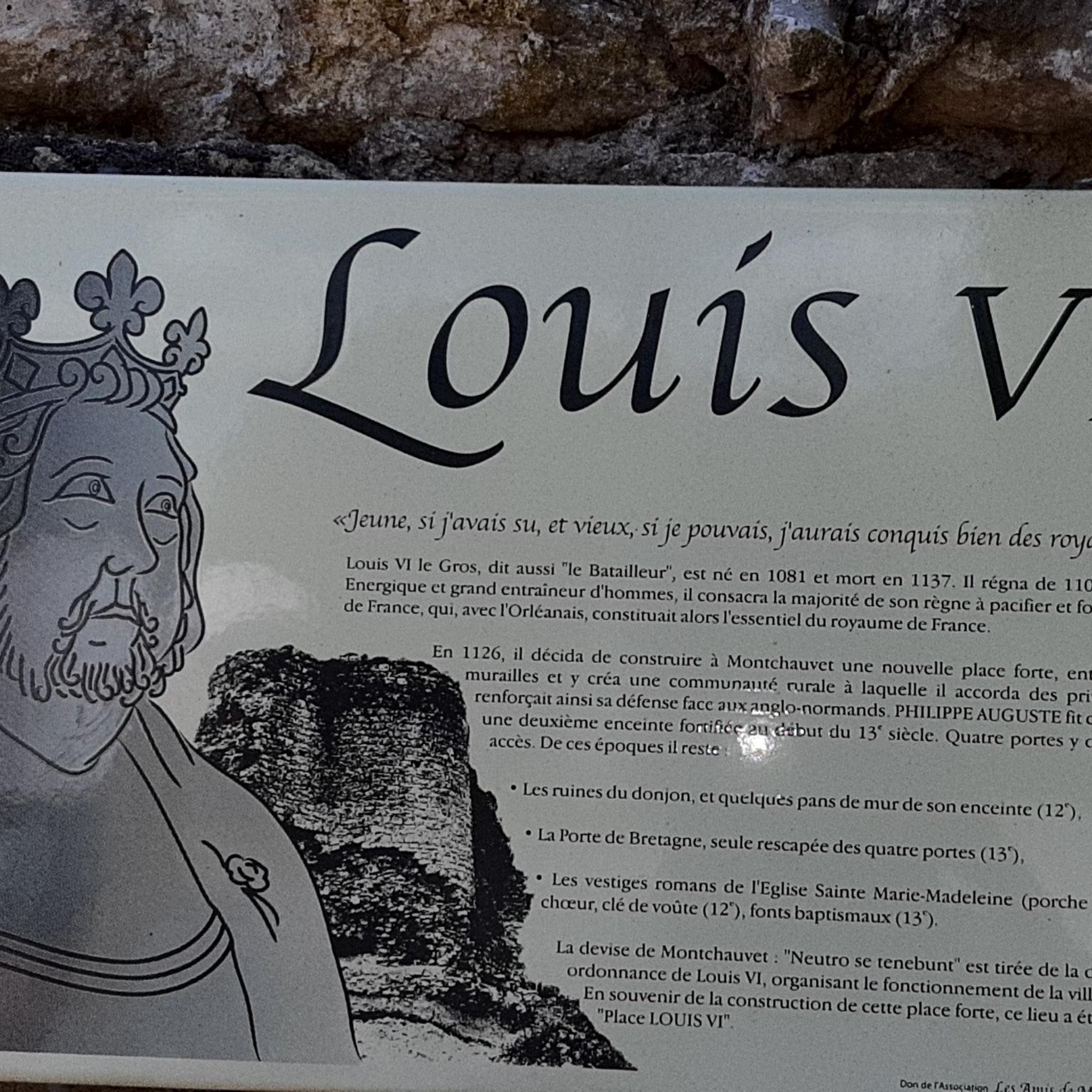
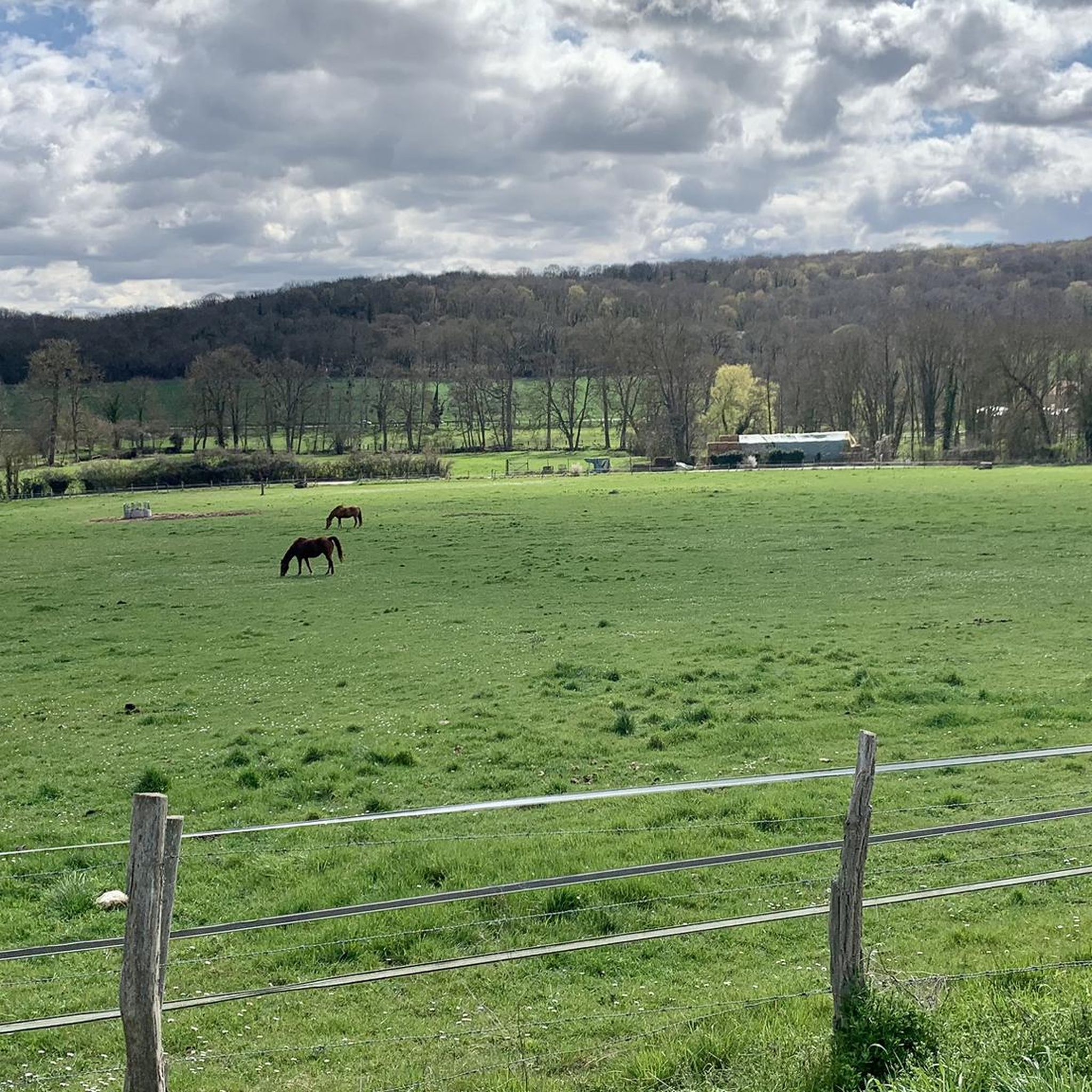
One of the most beautiful Ile de France villages with its many vestiges.
2
0
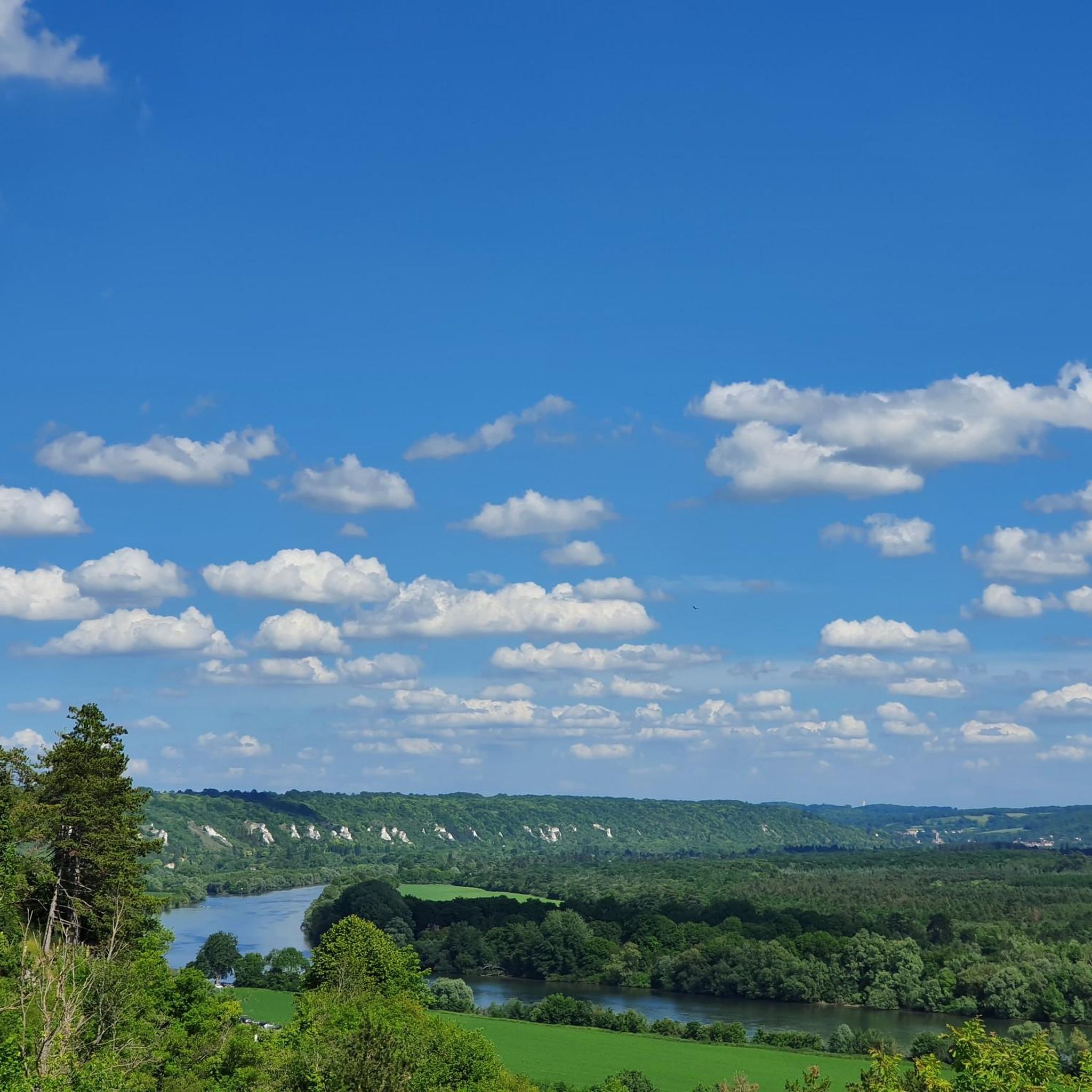
Nice view over one of the most beautiful villages in Ile de France. The commune of Montchauvet is part of the natural and agricultural region of Drouais, in the north-west of the Yvelines department, 15 kilometers southwest of Mantes-la-Jolie, sub-prefecture, and approximately 45 kilometers to the north -west of Versailles, capital of the department.
2
0

Five points to see in this village: the church and its fortifications, the Porte de Bretagne, the wash house, the pink house - which turns out to be a restaurant called 'the green mare', the graves of the six Australian aviators with the messages engraved with their loved ones.
1
0

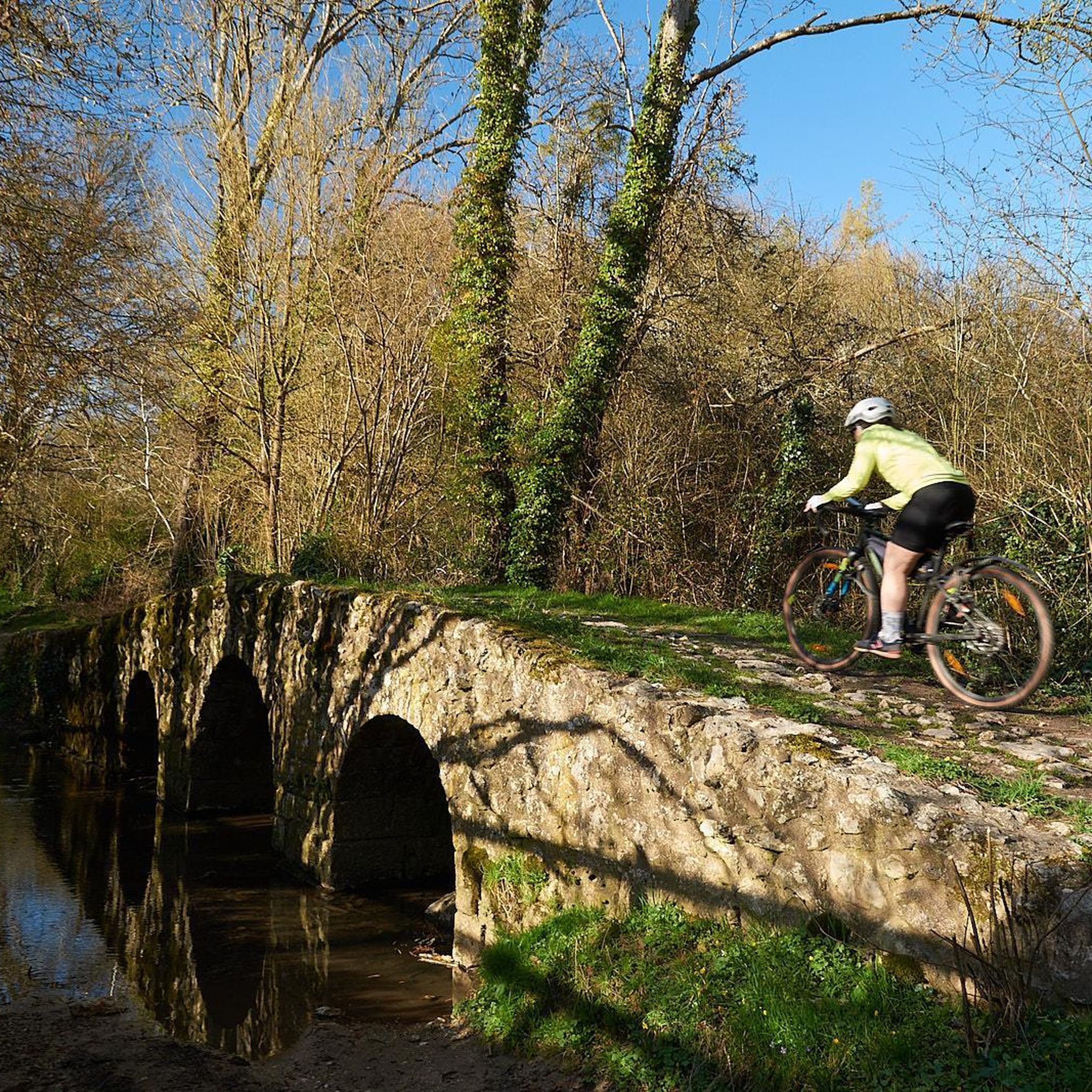
One of the most beautiful villages of Île de France accessible by a small climb whatever your route of arrival. Several historical monuments to see: first of all the 12th and 13th century church, the ruins of the keep which are the remains of a castle having been the scene of a battle during the Hundred Years War, and the arch of the gateway to Brittany.
3
0
Frequently Asked Questions
How many running routes are available around Montchauvet?
There are over 230 running routes around Montchauvet, offering a wide variety of options for different fitness levels and preferences. The komoot community has mapped 232 tours in the area.
Are there easy jogging routes for beginners in Montchauvet?
Yes, Montchauvet offers several easy jogging routes suitable for beginners. There are 12 routes specifically graded as easy, characterized by modest elevation changes and consistent surfaces, often following quiet country lanes and paths.
What kind of terrain can I expect on the running trails in Montchauvet?
The running trails around Montchauvet feature gently rolling terrain, a mix of agricultural fields, and small woodlands. You'll find modest elevation changes, making most routes suitable for various paces. Trails often follow quiet country lanes and well-maintained paths, providing a consistent surface for runners.
Are there any circular running routes in the Montchauvet area?
Many of the running routes in Montchauvet are circular, allowing you to start and finish at the same point. For example, the Running loop from Dammartin-en-Serve is a popular circular option covering over 13 km.
Can I bring my dog on the jogging trails in Montchauvet?
Generally, the rural paths and country lanes around Montchauvet are suitable for running with dogs, especially if they are well-behaved and kept on a leash. Always be mindful of agricultural fields and local wildlife. It's advisable to check local signage for any specific restrictions.
What are some interesting landmarks or attractions I might see while running near Montchauvet?
While running, you might encounter various points of interest. The region is home to historical sites like the Donjon and Fortified Site of Montchauvet. Other notable structures include the Neauphlette Church and the impressive Collegiate Church of Notre-Dame de Mantes-la-Jolie, though the latter might require a slight detour from some routes.
Are there any longer running routes for experienced runners?
Yes, Montchauvet offers several longer routes for those seeking more challenging distances. For instance, the Running loop from Civry-la-Forêt provides a moderate 9.5 km run with varied elevation, perfect for building endurance.
What do other runners say about the jogging experience in Montchauvet?
The running routes in Montchauvet are highly rated by the komoot community, with an average score of 4.6 stars from over 50 reviews. Runners often praise the peaceful rural environment, the well-maintained paths, and the varied scenery of agricultural fields and woodlands.
Is there public transport access to the starting points of running routes?
While Montchauvet is a rural area, some routes may be accessible via regional bus services connecting to nearby towns. However, public transport options are generally limited, and it's often more convenient to access trailheads by car. Always check local bus schedules in advance.
Where can I find parking for the jogging trails?
Parking is typically available in the villages and small towns where many routes begin, such as Dammartin-en-Serve or Boinvilliers. Look for designated public parking areas or roadside parking where permitted. Always ensure you are not blocking private access or agricultural entrances.
Are there any running routes that pass by water features?
Yes, some routes offer views of small water features. For example, the La mare au Prévôt loop from Dammartin-en-Serve passes by a small lake, providing varied and scenic views during your run.
What is the best time of year for running in Montchauvet?
Spring and autumn are generally ideal for running in Montchauvet, offering pleasant temperatures and beautiful scenery as the landscape changes. Summer can also be enjoyable, especially during cooler mornings or evenings, while winter runs are possible but may require appropriate gear for colder, potentially wetter conditions.
Most popular routes around Montchauvet
Most popular attractions around Montchauvet

Get inspired with the komoot mobile app


Explore more
Browse the best Running Trails & Routes in other regions.
