The best walks and hikes around Asten
4.4
(1548)
13,593
hikers
42
hikes
Hiking around Asten features a network of trails primarily characterized by flat terrain and low elevation changes, often following waterways and passing through cultural landmarks. The region's landscape includes areas around the Danube River, local lakes, and agricultural settings. These routes offer accessible outdoor experiences, connecting natural spaces with historical and community sites.
Best hiking trails around Asten
- The most popular hiking route is Ausee – Abwinden-Asten Danube Power Plant loop from Wasserkraftwerk Abwinden-Asten, a 4.1 miles (6.7 km)…
Last updated: July 2, 2026
4.4
(5)
87
hikers
Easy hike. Great for any fitness level. Easily-accessible paths. Suitable for all skill levels.
4.5
(2)
23
hikers
13.2km
03:21
30m
30m
Moderate hike. Good fitness required. Easily-accessible paths. Suitable for all skill levels.

Sign up for free
4.0
(2)
17
hikers
Easy hike. Great for any fitness level. Easily-accessible paths. Suitable for all skill levels.
14
hikers
6.05km
01:32
10m
10m
Easy hike. Great for any fitness level. Easily-accessible paths. Suitable for all skill levels.
5.0
(1)
10
hikers
Easy hike. Great for any fitness level. Easily-accessible paths. Suitable for all skill levels.
Get access to more routes and recommendations from other explorers.
Sign up for free
Already have an account?
Our route recommendations are based on thousands of hikes, rides, and runs completed by other people on komoot.
Start today with a free account
Your next adventure awaits.
Login or Signup

Tips from the Community

A single-lane road runs over the power plant and is open to pedestrians and cyclists.
1
0

Nothing spectacular, but always good for a trip.
2
1

Nice section if you want to cycle from Abwinden towards Mauthausen (or vice versa). Unfortunately you then have to take the B1 towards Ennsdorf to get back onto a nice cycle path to the Mauthausen Bridge
0
0

Spacey building... everything inside is bread. Next to it is a sculpture that looks more like a piece of shit than a corn noodle🤣
0
0
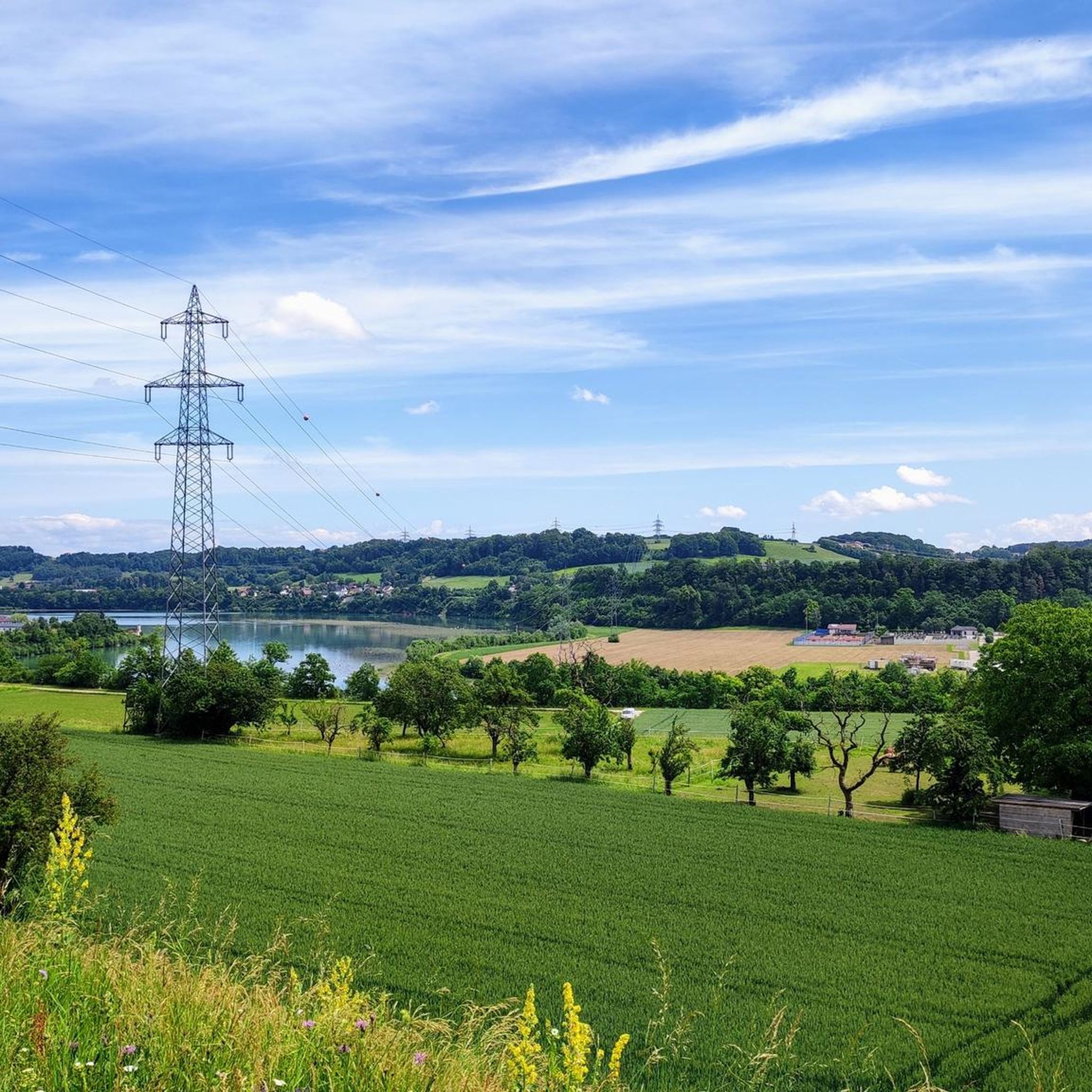
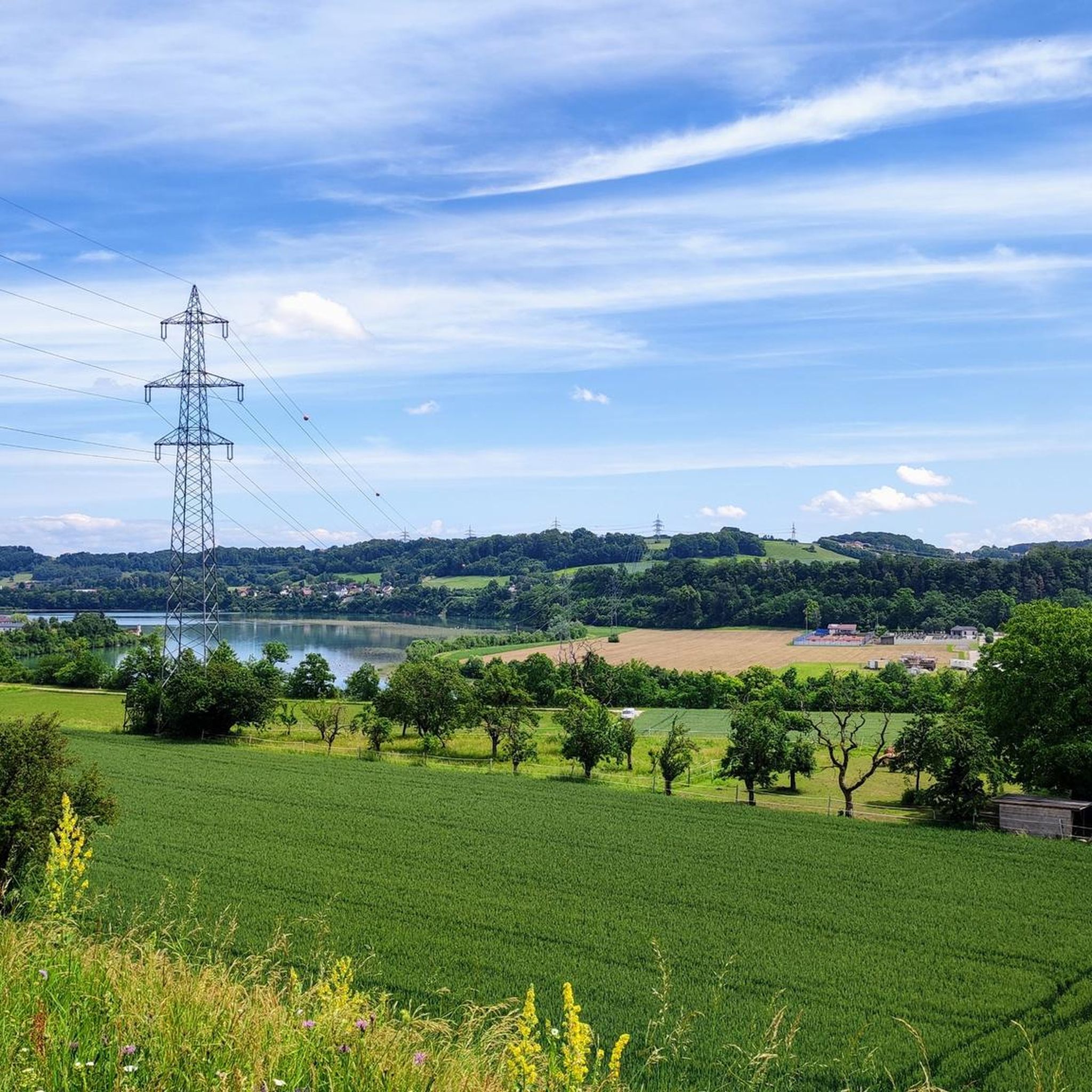
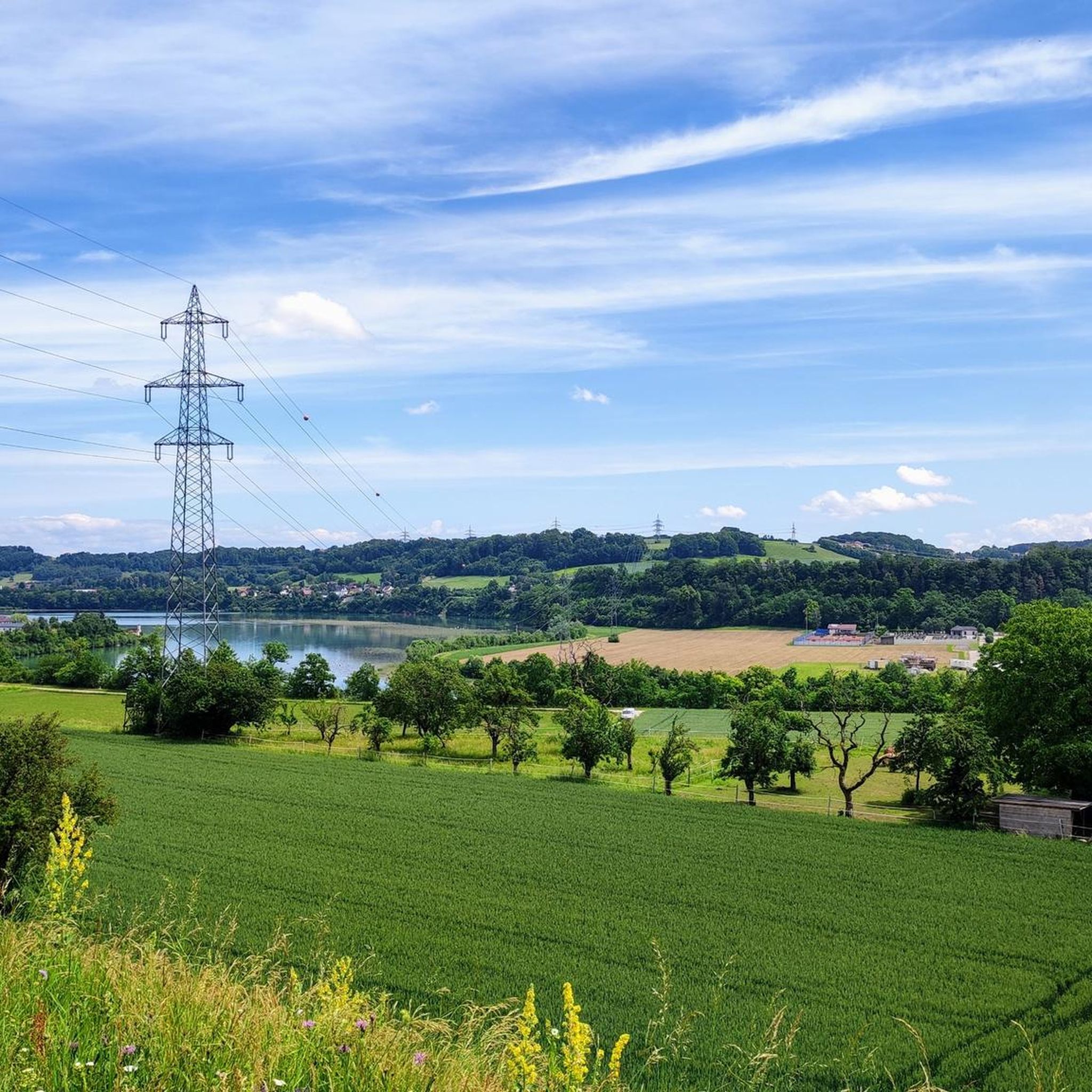
A little walk around the lake in the morning...😉😍 The "Pichlinger" is simply ideal for a morning walk.
2
1

An impressive facility and also an impressive building. The Abwinden-Asten power plant is a run-of-river power plant, belongs to the Austrian Danube power plants and was built between 1976 and 1979. Nine sets of machines in the machine house supply electricity to the public power grid. The standard working capacity is 995 million kWh per year.
5
0

Moonrise over the Danube 🤩☀️🚴🏼👍
0
0

Very nice information board about the lock at the power plant and Abwinden-Asten lock.
2
0
Frequently Asked Questions
How many hiking trails are available in Asten?
Asten offers a network of over 40 hiking trails. The majority, around 30 routes, are classified as easy, while about 10 are moderate, providing options for various fitness levels.
Are there any easy or beginner-friendly hikes in Asten?
Yes, Asten is particularly well-suited for easy and beginner-friendly hikes, with over 30 routes classified as easy. These trails typically feature flat terrain and low elevation changes, often following waterways. An excellent option is the Biohof Eglseergut loop from Asten, an easy 6 km trail that takes about 1 hour 30 minutes to complete.
Are there any circular hiking routes around Asten?
Many of Asten's hiking trails are circular, allowing you to start and end at the same point. For example, the Ausee – Abwinden-Asten Danube Power Plant loop is an easy 6.7 km circular route that explores the area around Ausee and the Danube Power Plant.
What kind of natural attractions can I see along the hiking trails in Asten?
Asten's trails often feature natural landscapes around the Danube River and local lakes. You can explore highlights such as the Mouth of the Traun-Danube or the Magerbach Fish Ladder. The region's flat terrain makes these natural sights easily accessible.
Are there any historical or cultural landmarks to explore while hiking in Asten?
Yes, Asten's trails connect natural spaces with historical and community sites. You can hike to cultural landmarks like the Sumerauerhof Open-Air Museum – Chamber of Wonders of Bread loop from Asten, which is an easy 5.1 km trail. Additionally, you might encounter nearby castles such as Ebelsberg Castle or Schloss Hohenbrunn.
What do other hikers enjoy most about the trails in Asten?
The hiking trails in Asten are highly rated by the komoot community, with an average score of 4.4 stars from over 20 reviews. Hikers often praise the accessible nature of the routes, the scenic paths along the Danube and local lakes, and the blend of natural and cultural sights.
Are there any longer, moderate hikes available in Asten?
For those looking for a slightly longer experience, Asten offers several moderate routes. The Pichlinger Lake – Pichlinger Lake loop from Asten is a popular moderate path, spanning 13.2 km and typically taking around 3 hours 20 minutes to complete, offering views of the lake and its surroundings.
Can I reach the hiking trails in Asten using public transport?
Asten is generally well-connected within the region. While specific public transport details for each trailhead vary, many routes are accessible from central Asten, which can be reached by local bus services. It's advisable to check local transport schedules for the most convenient access to your chosen starting point.
Is there parking available near the hiking trails in Asten?
Yes, parking is typically available near popular trailheads and attractions in Asten, especially around areas like Ausee or the Sumerauerhof Open-Air Museum. Specific parking information can often be found on the individual komoot tour pages or local signage.
Are the hiking trails in Asten suitable for families with children?
Many of Asten's easy trails are ideal for families due to their flat terrain and manageable distances. Routes that explore local lakes or cultural sites like the Sumerauerhof Open-Air Museum offer engaging experiences for children. The low elevation changes make them less strenuous for younger hikers.
What is the best time of year to go hiking in Asten?
Asten's trails are enjoyable throughout much of the year. Spring and autumn offer pleasant temperatures and beautiful scenery, while summer is great for lakeside walks. Even in winter, the flat terrain can make for accessible walks, though conditions should be checked for ice or snow.
Are there any trails that pass by significant viewpoints or natural monuments?
Yes, some trails offer access to interesting natural monuments. While Asten itself is relatively flat, nearby highlights include the Pfenningberg Summit Cross, which provides a viewpoint, and the unique rock formations of Stoanane Stubm. These can be incorporated into longer hikes or visited as separate attractions.
Most popular routes around Asten
Most popular attractions around Asten

Get inspired with the komoot mobile app


Explore more
Browse the best Hikes in other regions.
