The best walks and hikes around Zittersheim
4.5
(2484)
10,785
hikers
337
hikes
Hiking around Zittersheim offers a landscape characterized by forested hills, natural springs, and distinctive rock formations. The region provides a variety of terrain, from gentle paths near water sources to more challenging ascents. Hikers can explore a network of trails that wind through woodlands and open areas, revealing the natural features of the Zittersheim area. The elevation changes are generally moderate, making it accessible for various fitness levels.
Best hiking trails around Zittersheim
- The most popular hiking route is Brandberg…
Last updated: July 5, 2026
4.4
(16)
47
hikers
12.9km
03:40
290m
280m
Moderate hike. Good fitness required. Easily-accessible paths. Suitable for all skill levels.
4.7
(7)
29
hikers
10.6km
02:53
160m
160m
Moderate hike. Good fitness required. Easily-accessible paths. Suitable for all skill levels.

Sign up for free
4.6
(5)
12
hikers
19.9km
05:35
390m
390m
Hard hike. Very good fitness required. Easily-accessible paths. Suitable for all skill levels.
3.0
(2)
4
hikers
11.1km
03:15
290m
300m
Moderate hike. Good fitness required. Easily-accessible paths. Suitable for all skill levels.
4.3
(3)
3
hikers
10.3km
02:56
250m
250m
Moderate hike. Good fitness required. Easily-accessible paths. Suitable for all skill levels.
Get access to more routes and recommendations from other explorers.
Sign up for free
Already have an account?
Our route recommendations are based on thousands of hikes, rides, and runs completed by other people on komoot.
Start today with a free account
Your next adventure awaits.
Login or Signup


Tips from the Community

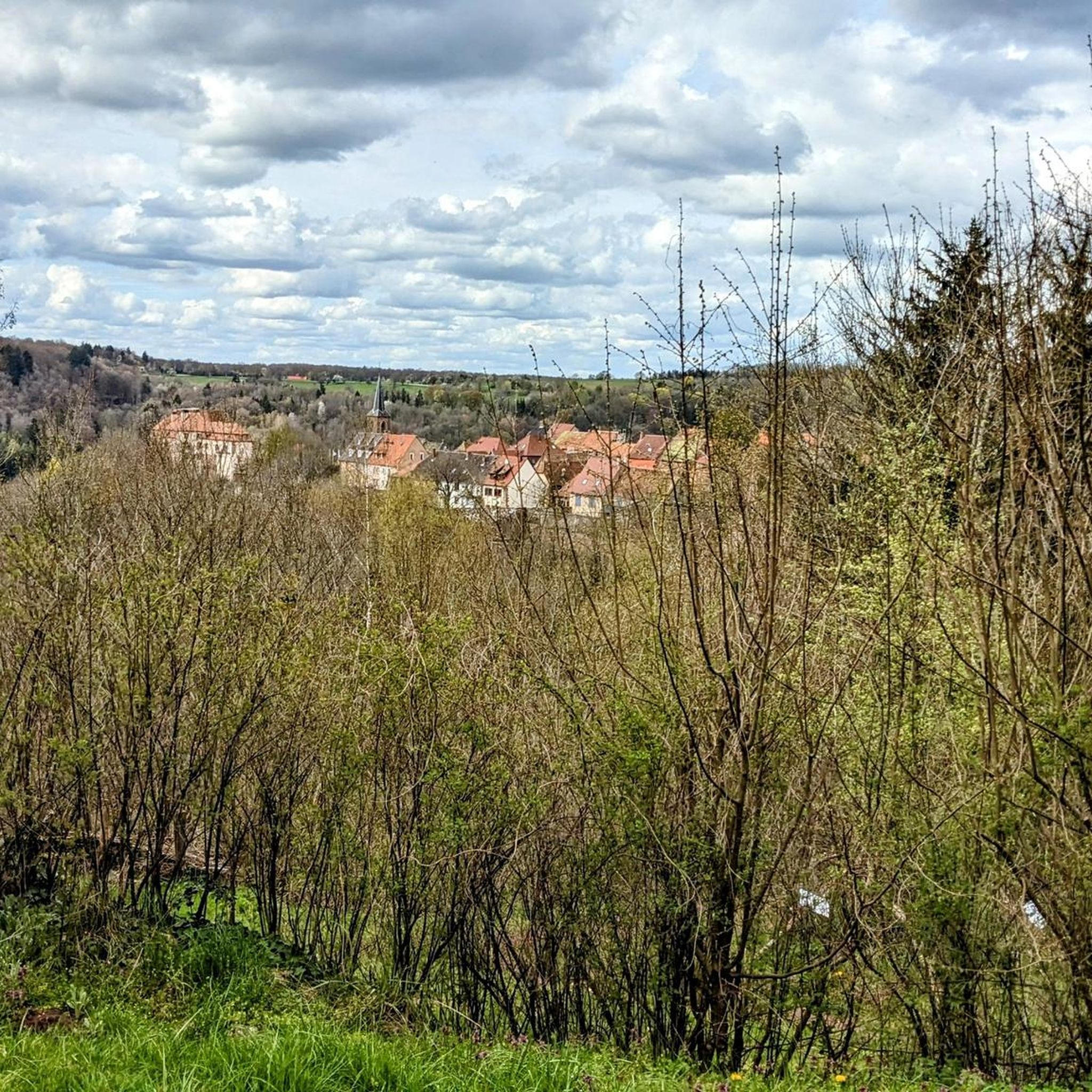
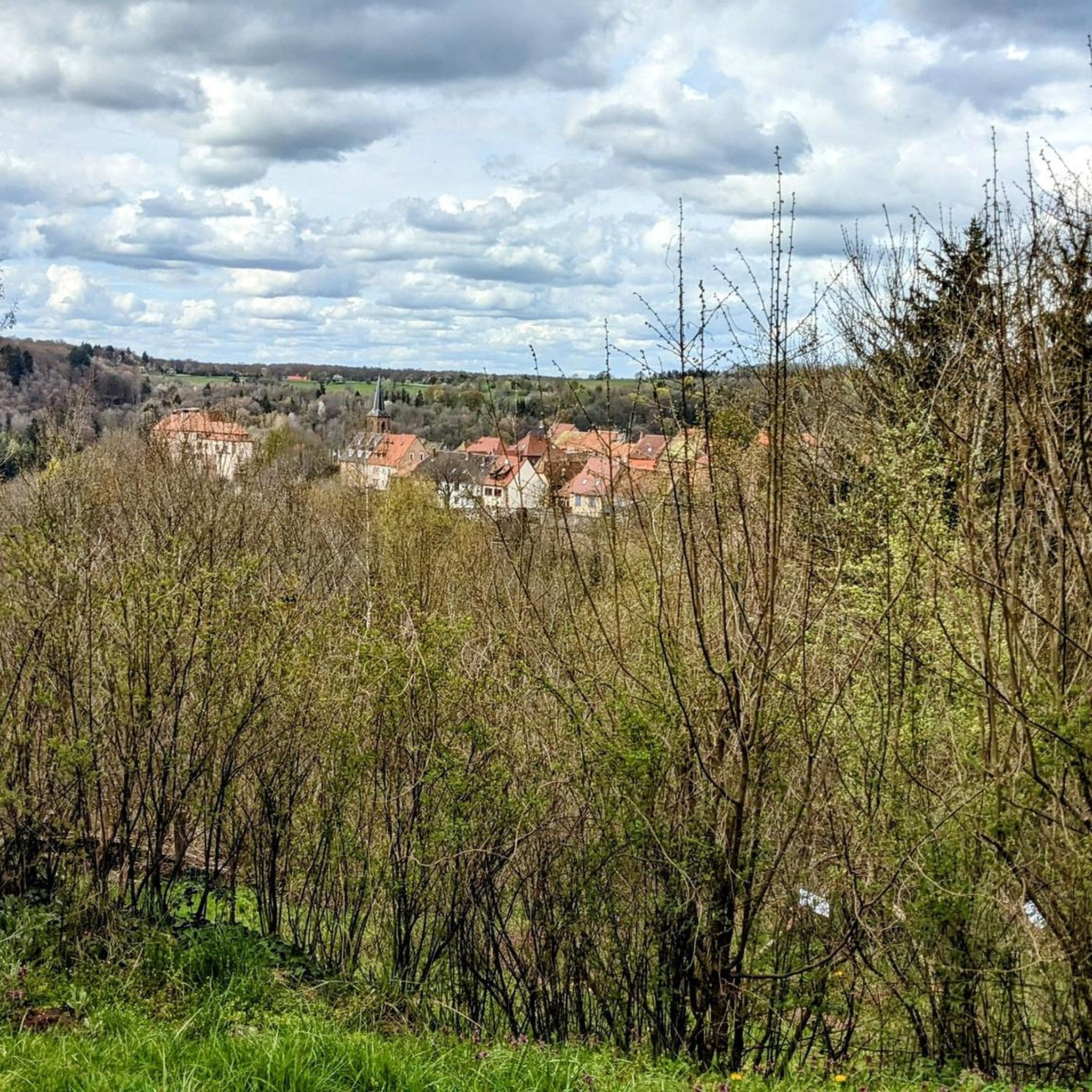
The Church of Saint-Félix-de-Cantalice was built in 1918 in Wingen-sur-Moder. It is distinguished by its onion-domed bell tower, the spire of which was damaged during the Second World War and subsequently repaired. It overlooks the surrounding plain beautifully.
0
0

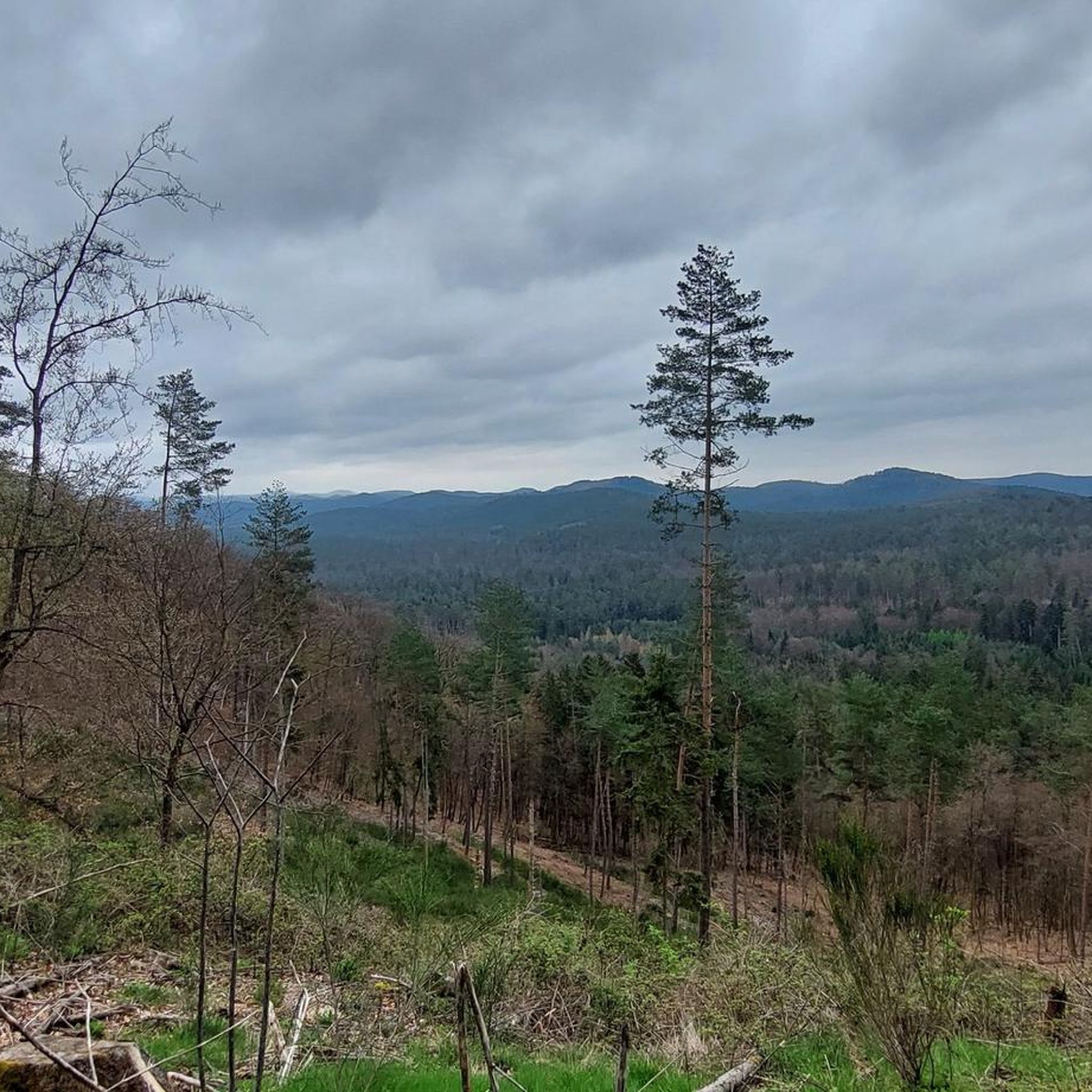
Just past the antenna mast are two benches, each overlooking one side of the Heidekopf; many young trees partially obstruct the view
0
0

Accessible from various directions and/or accessible as a circular walk. The walk up the mountain is quite long.
0
0

A secluded pond in the forest, located on the beautiful forest road from Eschbourg to Frohmuhl. There's only one educational facility here, but otherwise no infrastructure, just plenty of idyllic forest scenery.
0
0

View of Wingen and the Moder
0
0
Wikipedia The Twelve Apostles Stone (French: Pierre des douze Apôtres; also Breitenstein, Latin: Petra lata) is a prehistoric menhir on the connecting road between Meisenthal, Mouterhouse (both in the Moselle department) and Wingen-sur-Moder (Bas-Rhin department) in the Northern Vosges Nature Park (Parc Naturel Régional des Vosges du Nord). Since the Middle Ages it has formed a border marker between Alsace and Lorraine. The monolith, carved from a single block of red sandstone, is about four meters high. Its history is unclear. It is believed that it is a cult stone from the Celtic ("druidic") period. In 1787 the upper part was designed as a crucifixion group (the crucified Christ with two Marys). A simple relief with the twelve apostles was carved out below.
1
0
Frequently Asked Questions
How many hiking trails are available around Zittersheim?
There are over 330 hiking routes in the Zittersheim area, offering a wide range of options for different skill levels and preferences. This includes over 100 easy trails, 180 moderate routes, and 45 more challenging hikes.
Are there easy hiking trails suitable for beginners in Zittersheim?
Yes, Zittersheim offers over 100 easy hiking trails. The region's terrain, characterized by forested hills and moderate elevation changes, makes it accessible for beginners and those looking for a relaxed walk. Many paths follow natural springs, providing a gentle experience.
What is the typical length of hiking trails around Zittersheim?
Hiking trails in Zittersheim vary in length. For example, the Brandberg Spring loop from Zittersheim is about 6.6 miles (10.6 km), while the more challenging Column Square – Dreipeterstein loop from Puberg extends to 12.4 miles (19.9 km). You'll find options ranging from shorter walks to longer day hikes.
Are there family-friendly hiking options in Zittersheim?
Yes, many of the easy and moderate trails in Zittersheim are suitable for families. The region's gentle paths, natural springs, and forested areas provide a pleasant environment for all ages. Consider routes that explore the natural features without significant elevation gain.
Are dogs allowed on the hiking trails around Zittersheim?
Generally, dogs are welcome on hiking trails in Zittersheim. It's always recommended to keep your dog on a leash, especially in nature reserves or areas with wildlife, and to clean up after them. Specific rules may apply to certain protected areas, so check local signage.
What kind of natural features can I expect to see on hikes in Zittersheim?
Zittersheim's hiking trails showcase forested hills, natural springs, and distinctive rock formations. You can explore areas like the Brandberg Spring and the Zittersheim Rock, which are prominent features on routes such as the Brandberg Spring – Zittersheim Rock loop from Zittersheim.
Are there any circular hiking routes in Zittersheim?
Yes, Zittersheim offers several circular hiking routes, which are popular for their convenience. Examples include the Brandberg Spring – Zittersheim Rock loop from Zittersheim and the Donnerbach Pond – Source of the Moder loop from Puberg, allowing you to start and end at the same point.
What interesting landmarks or attractions can I find near the hiking trails?
Around Zittersheim, you can discover several interesting landmarks. These include the unique Graufthal Troglodyte Houses, the impressive Ochsenstall Rock, and the historic Lichtenberg Castle. Many trails pass close to or offer views of these sites.
What do other hikers enjoy the most about hiking in Zittersheim?
The hiking experience in Zittersheim is highly rated by the komoot community, with an average score of 4.4 stars from over 2200 reviews. Hikers often praise the region's diverse forested landscapes, the tranquility of the natural springs, and the unique rock formations that make each trail distinctive.
Are there any challenging hikes for experienced trekkers in Zittersheim?
Yes, for experienced trekkers, Zittersheim offers 45 difficult routes. These trails typically feature more significant elevation changes and longer distances. An example is the Column Square – Dreipeterstein loop from Puberg, which is nearly 12.4 miles (19.9 km) long with considerable ascent.
What is the best time of year to go hiking in Zittersheim?
The best time to hike in Zittersheim is typically from spring through autumn, when the weather is mild and the natural scenery is vibrant. Spring brings blooming flora, while autumn offers beautiful fall colors in the forested areas. Summer is also popular, though some trails may be busier.
Most popular routes around Zittersheim
Most popular attractions around Zittersheim

Get inspired with the komoot mobile app


Explore more
Browse the best Hikes in other regions.
