The best walks and hikes around Pressy-Sous-Dondin
4.7
(130)
398
hikers
73
hikes
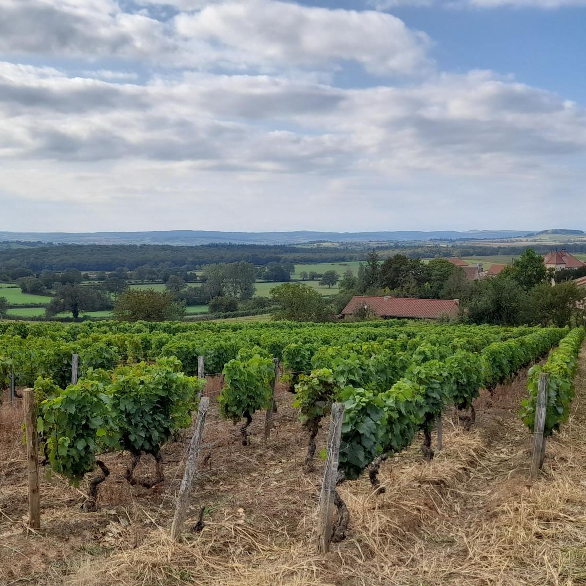
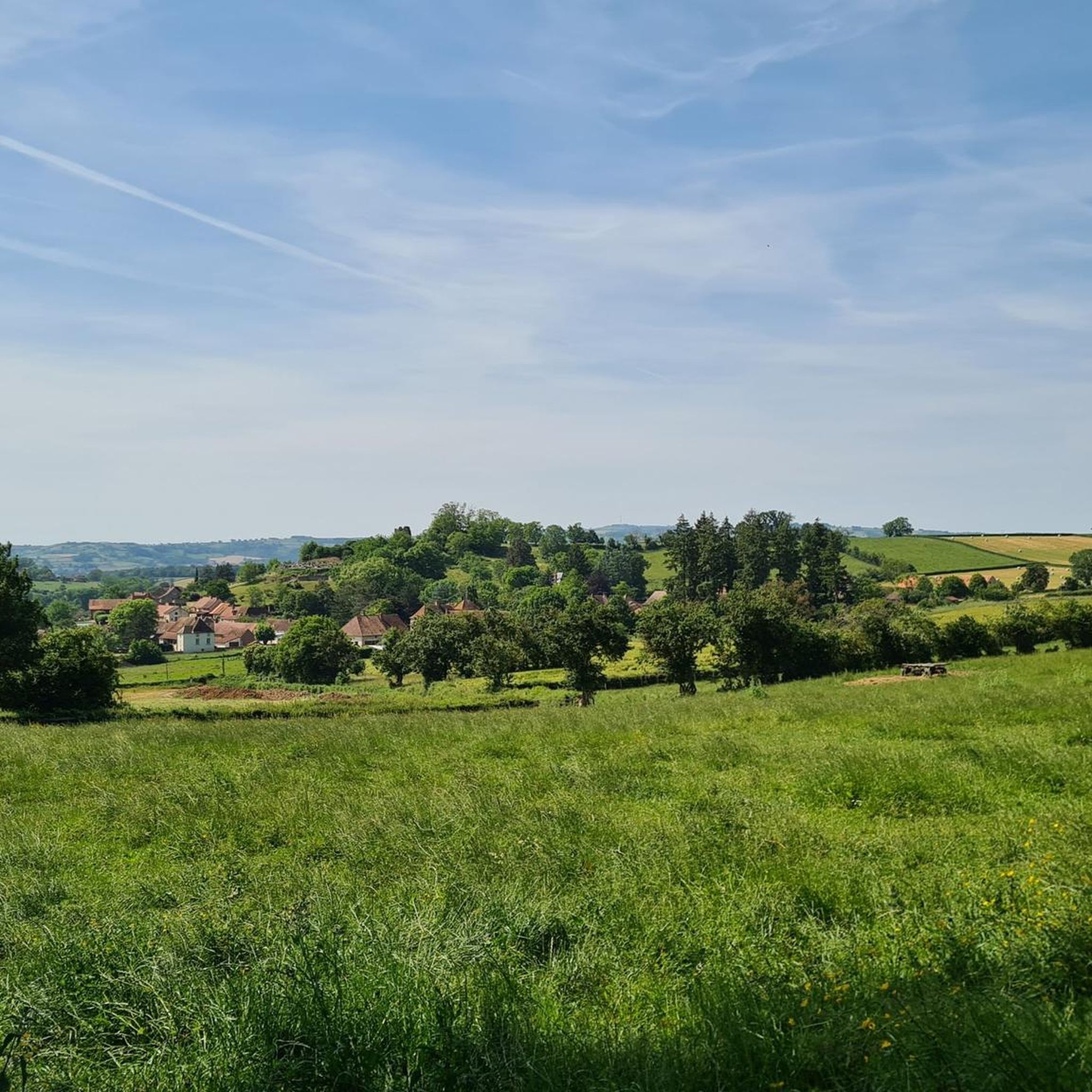
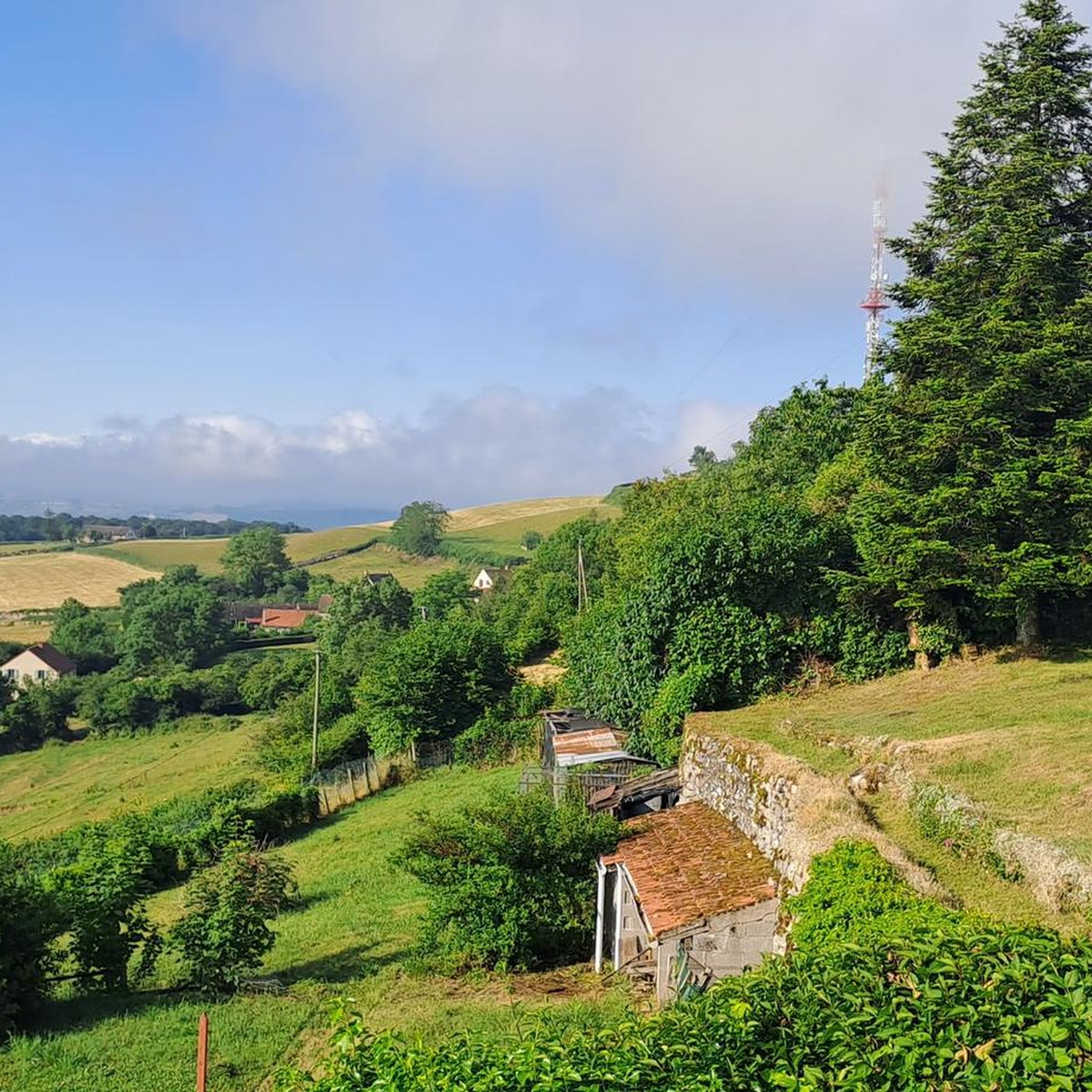
Hiking around Pressy-Sous-Dondin offers diverse trails through varied landscapes. The region is characterized by valleys, such as the Gande valley, and features prominent hills like Suin Hill and Mont Saint-Cyr. Trails often lead through wooded areas, including Morpheus Woods, and past historical sites like the ruins of Château de Dondin. This area provides a range of hiking experiences suitable for different fitness levels.
Best hiking trails around Pressy-Sous-Dondin
- The most popular hiking route is View from Mont Saint-Cyr – Suin…
Last updated: September 4, 2026
4.5
(17)
36
hikers
6.90km
02:01
190m
190m
Moderate hike. Good fitness required. Easily-accessible paths. Suitable for all skill levels.
4.3
(3)
19
hikers
15.5km
04:22
330m
330m
Moderate hike. Good fitness required. Easily-accessible paths. Suitable for all skill levels.

Sign up for free
5.0
(4)
13
hikers
17.3km
05:08
530m
530m
Hard hike. Very good fitness required. Easily-accessible paths. Suitable for all skill levels.
5.0
(4)
13
hikers
10.3km
02:52
190m
200m
Moderate hike. Good fitness required. Easily-accessible paths. Suitable for all skill levels.
4.3
(4)
8
hikers
7.82km
02:21
240m
240m
Moderate hike. Good fitness required. Easily-accessible paths. Suitable for all skill levels.
Get access to more routes and recommendations from other explorers.
Sign up for free
Already have an account?
Our route recommendations are based on thousands of hikes, rides, and runs completed by other people on komoot.
Start today with a free account
Your next adventure awaits.
Login or Signup

Tips from the Community

La Butte de Suin is a 593-meter-high viewpoint hill in the Saône-et-Loire department, near the small French municipality of Suin. From the summit, there is an impressive 360-degree panoramic view. In clear weather, you can look far over the hilly landscapes of Southern Burgundy (including the Charolais and Clunysois regions, and as far as Beaujolais). At the summit, there is a striking statue of the Virgin Mary, an orientation table for hikers, and the remains of an old fortress that was used from the Celtic period until the 16th century.
0
0
The current complex was built in the 15th century, after a predecessor had been destroyed on the orders of the French king. The irregular quadrilateral encloses a central courtyard. The striking north entrance, visible in the picture, is flanked by two mighty round towers equipped with gun loops (archères-canonniers) and was formerly protected by a drawbridge. The complex has been a listed Monument historique since 1967. Parts of the castle have been restored and are privately used as a charming guest house (Le Gros Chigy Château) for travellers in Burgundy.
1
0

It was built in the 15th century after the destruction of a first castle on the orders of the King of France, who belonged to the Mâcon region, and who was fighting against the Duke of Burgundy. Located on the hillside, between two hamlets, it is a castle whose buildings are grouped together and form a quadrilateral around a central courtyard. The entrance is framed by two round towers pierced by archers, and was formerly equipped with a drawbridge. It will serve as a hotel, the guest rooms are almost finished.
1
0

The Bois de Morphée is a small wood. It is a quiet road that avoids the main road.
1
0

Driveway over small streets, great panorama without disturbing tree tops.
0
0

Superb rendering I loved it and a great view to redo in good weather
1
0

the last 200m very steep. great view. Restauration with rest day
0
0

Clear point of view over the whole region. It climbs nicely no matter which side you take, but it's worth it. The descent to St-Bonnet by small road is pretty.
0
0
Frequently Asked Questions
What types of landscapes can I expect to see while hiking around Pressy-Sous-Dondin?
The region offers diverse scenery, including picturesque valleys like the Gande valley, woodlands such as Morpheus Woods, and prominent hills like Suin Hill and Mont Saint-Cyr. You'll find trails winding through forests, open fields, and offering panoramic views over the Mâcon vineyards from higher points like the Roche de Solutré, which is about 25 kilometers away.
Are there hiking routes suitable for beginners or those looking for an easy walk?
Yes, Pressy-Sous-Dondin has a good selection of easy trails. Out of 78 routes, 27 are classified as easy. An example is the View from Mont Saint-Cyr – Suin Hill loop from Suin, which is an easy 6.6 km trail taking under two hours to complete, offering great views.
Can I find circular hiking routes in the Pressy-Sous-Dondin area?
Many of the trails around Pressy-Sous-Dondin are circular, allowing you to start and end at the same point. For instance, the Suin Hill – Morpheus Woods loop from Suin is a moderate 15.5 km circular path that takes you through varied terrain.
What historical sites or landmarks can I explore along the hiking trails?
The area is rich in history. You can encounter the ruins of the Château de Dondin overlooking the Gande valley. Other notable points of interest include the Château de Gros Chigy and the Église Saint-Jean-Baptiste de Cortevaix. For panoramic views, visit the Statue of the Virgin Mary and Panoramic View from Butte de Suin.
What do other hikers enjoy most about the trails in Pressy-Sous-Dondin?
The trails in Pressy-Sous-Dondin are highly rated by the komoot community, with an average score of 4.7 stars from over 120 reviews. Hikers often praise the diverse landscapes, from the peaceful woodlands to the expansive views from hills like Suin Hill, and the well-maintained paths that cater to various fitness levels.
Are there any challenging or difficult hikes for experienced trekkers?
Yes, for more experienced hikers, there are 7 difficult routes available. A challenging option is the View from Mont Saint-Cyr – Suin Hill loop from Buffières, a 17.3 km trail with significant elevation changes, typically taking over 5 hours to complete.
What natural features, beyond hills and woods, can be found in the region?
Beyond the prominent hills and woodlands, the broader Burgundy region, which includes Pressy-Sous-Dondin, features intriguing underground formations like the Azé Caves (about 19.5 km away). There are also rivers such as the Seille and a network of canals, offering opportunities for walks along waterways, though these are further afield from Pressy-Sous-Dondin itself.
How many hiking trails are available in total around Pressy-Sous-Dondin?
There are 78 hiking routes recorded around Pressy-Sous-Dondin on komoot, offering a wide range of options for different preferences and skill levels.
Are there any specific trails that offer particularly good panoramic views?
Many trails in the area provide excellent viewpoints. The View from Mont Saint-Cyr – Suin Hill loop from Suin is specifically named for its panoramic views from Mont Saint-Cyr. Additionally, the Statue of the Virgin Mary and Panoramic View from Butte de Suin is a highlight known for its expansive vistas.
What is the typical duration for a moderate hike in this area?
Moderate hikes vary in length and duration. For example, the Morpheus Woods – Suin Hill loop from Suin is a moderate 9.6 km trail that typically takes around 2 hours and 50 minutes to complete, offering a good balance of distance and challenge.
Are there any cultural or spiritual sites near Pressy-Sous-Dondin that can be combined with a hike?
Yes, the Taizé Community, a unique spiritual and cultural site, is located about 13.4 km from Pressy-Sous-Dondin. While not directly on a hiking trail, it could be an enriching addition to your visit to the region.
What makes the Burgundy region, including Pressy-Sous-Dondin, a good destination for hiking?
The broader Burgundy region is renowned for its extensive network of 6,000 km of marked hiking trails, including long-distance GR trails. This well-established infrastructure, combined with diverse landscapes of vineyards, villages, and exceptional natural sites, makes it a prime destination for hikers seeking varied outdoor adventures and a deep connection with nature and history.
Most popular attractions around Pressy-Sous-Dondin

Get inspired with the komoot mobile app


Explore more
Browse the best Hikes in other regions.
