The best running trails around Lalheue
4.4
(32)
982
runners
172
runs
Jogging around Lalheue offers access to a diverse landscape within the Saône-et-Loire department of Burgundy-Franche-Comté. The region is characterized by the expansive Natura 2000 Saône Grosne area, featuring natural meadows and floodplains that provide predominantly flat terrain. Runners can explore riverside paths along the Saône River and its canals, as well as quiet rural roads. The average altitude of 189 meters indicates generally level running conditions, with some routes offering gentle undulations.
Best jogging routes around Lalheue
- The most popular…
Last updated: July 6, 2026
4.8
(4)
45
runners
17.5km
02:09
400m
400m
Hard run. Very good fitness required. Mostly paved surfaces. Suitable for all skill levels.
3.3
(3)
9
runners
13.6km
01:43
370m
370m
Hard run. Very good fitness required. Mostly paved surfaces. Suitable for all skill levels.

Sign up for free
6
runners
9.62km
01:00
20m
20m
Moderate run. Good fitness required. Mostly paved surfaces. Suitable for all skill levels.
8
runners
9.72km
01:04
160m
160m
Moderate run. Good fitness required. Mostly paved surfaces. Suitable for all skill levels.
5
runners
6.08km
00:38
30m
30m
Moderate run. Good fitness required. Mostly paved surfaces. Suitable for all skill levels.
Get access to more routes and recommendations from other explorers.
Sign up for free
Already have an account?
Our route recommendations are based on thousands of hikes, rides, and runs completed by other people on komoot.
Start today with a free account
Your next adventure awaits.
Login or Signup

Tips from the Community

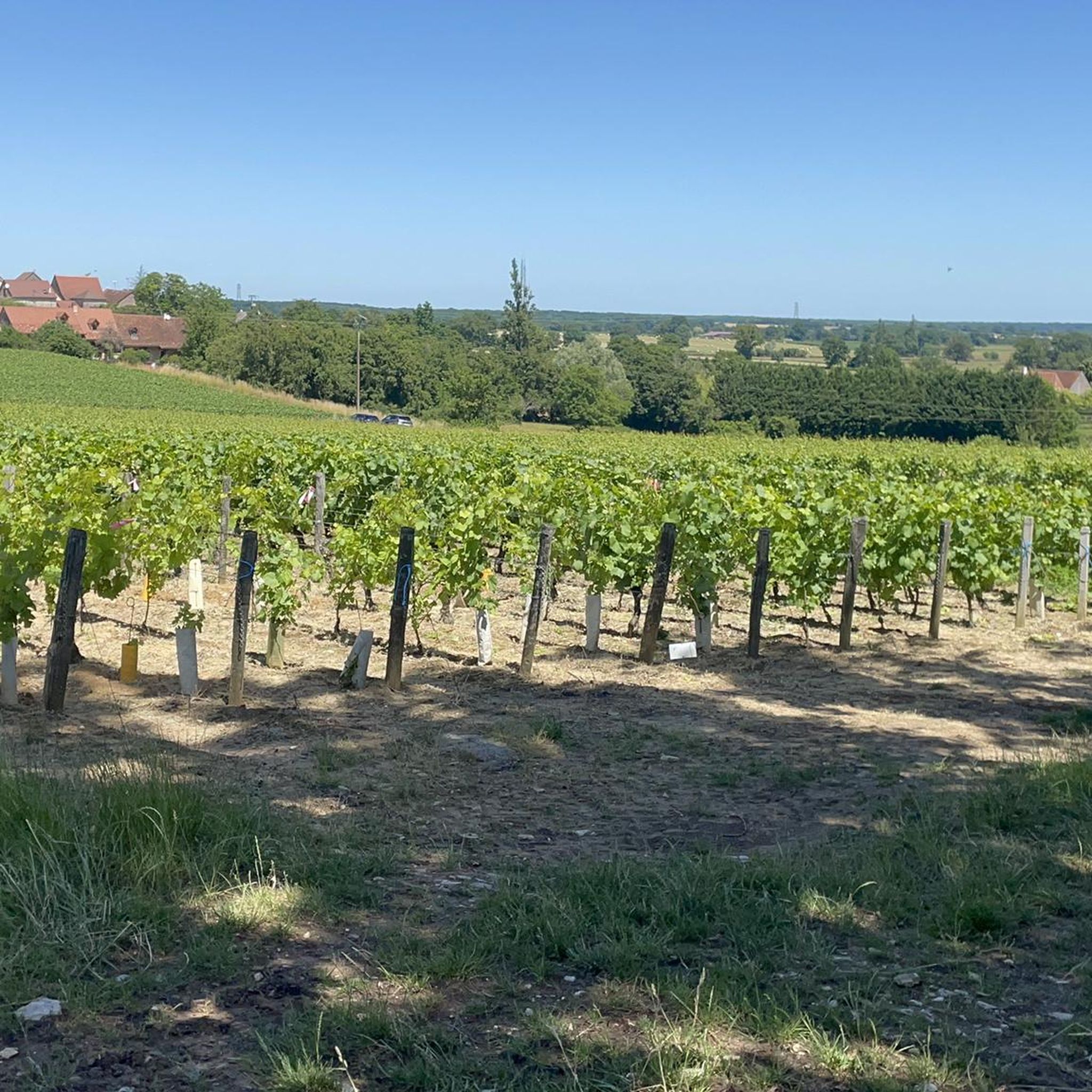
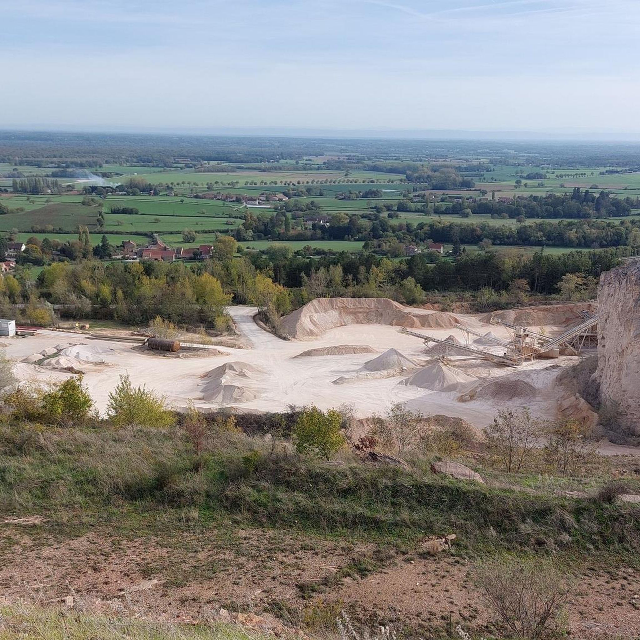
Saint-Martin-de-Laives designates the former name of the municipality of Laives, abandoned in 1793 in the revolutionary context. The name still exists today through the church of Saint-Martin-de-Laives. From the top of the hill, you can enjoy two splendid viewpoints: one over the Saône valley and the town of Sennecey, the other over the Grosne valley.
1
0
In the Middle Ages, a village called Saint Germain-des-Buis was located at this spot, of which today only the ruins of the church remain, in the current commune of Nanton in Saône-et-Loire. The inhabitants abandoned the village due to plague epidemics and a lack of water.
0
0

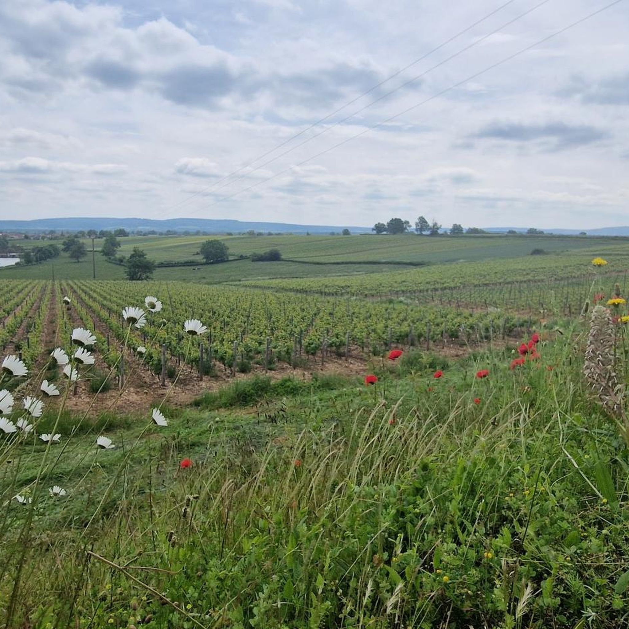
The classic ascent from Mancey is considered a tough short climb in Category 3. Over a distance of 2.2 kilometers, 166 meters of altitude must be overcome. The average gradient is 7.55%, with peak sections of up to 14%. The path junction leads to various hiking trails and gravel paths through the wooded and wine-rich hilly landscape of the Mâconnais.
0
0
The pass is located on Rue des Maquisards in the municipality of Nanton. It is a popular destination for cycling tours. The ascent from the municipality of Mancey covers a distance of 2.2 kilometers. Cyclists overcome 166 meters of altitude on this tough route with an average gradient of 7.55%. The surrounding area also offers a versatile network of trails for easy to medium-difficulty hikes through rolling hills, mixed forests, and to nearby viewpoints such as Roche d'Aujou.
0
0


Agree wholeheartedly with Benoit - ascended via Mancey a couple of day's ago. Not the longest hill I've climbed, but still glad to get to the top!
0
0

Very interesting pass for working on cardio. The ascent via Mancey is much more difficult than via Corlay. The mountain bike trails are also very nice! 😊
3
1

The Col de Navois from Mancey is 2.2 km long with a total drop of 166 m. The average gradient is 7.55% with maximum gradients of 14%.
2
0
Frequently Asked Questions
How many running routes are available around Lalheue?
There are over 160 running routes around Lalheue, offering a wide variety of options for different fitness levels and preferences. The komoot community has explored these trails extensively, with more than 850 runners using komoot to discover the area.
What kind of terrain can I expect on jogging trails in Lalheue?
Jogging in Lalheue primarily features predominantly flat terrain, especially within the Natura 2000 Saône Grosne area, which is characterized by natural meadows and floodplains. You'll also find scenic riverside paths along the Saône River and its canals, as well as quiet rural roads. While generally level, some routes, like the Viewpoint loop from Laives, offer significant elevation gain.
Are there easy running routes suitable for beginners in Lalheue?
Yes, Lalheue offers 17 easy running routes, perfect for beginners or those looking for a more relaxed run. These routes typically feature minimal elevation changes and comfortable surfaces, allowing you to enjoy the natural beauty of the region without excessive challenge.
Can I find circular running routes in Lalheue?
Many of the running routes in Lalheue are designed as circular loops, allowing you to start and finish at the same point. An example is the Running loop from Nanton, which takes you through rural landscapes in about 37 minutes.
What do other runners enjoy most about jogging in Lalheue?
The running routes in Lalheue are highly rated by the komoot community, with an average score of 4.5 stars from over 25 reviews. Runners often praise the diverse landscape, from natural meadows to riverside paths, and the generally level conditions that make for enjoyable runs. The variety of routes, catering to different abilities, is also frequently highlighted.
Are there any scenic attractions or landmarks to see while running in Lalheue?
While jogging in Lalheue, you can encounter several interesting landmarks. The historic Mill of Lalheue is centrally located within the Natura 2000 area, offering a cultural point of interest. Further afield, you might pass by the beautiful Chapaize Church or the impressive Sercy Castle, adding a touch of history to your run.
Are the running routes in Lalheue suitable for families?
Given the predominantly flat terrain and the availability of easy routes, many running paths in Lalheue are suitable for families. The natural meadows and riverside trails offer a safe and pleasant environment for all ages to enjoy a run or walk together. Consider routes with lower distances and minimal elevation for younger family members.
Are there dog-friendly running routes in Lalheue?
Many of the natural paths and rural roads around Lalheue are suitable for running with dogs, provided they are kept under control. The expansive Natura 2000 Saône Grosne area offers plenty of open space. Always ensure to respect local regulations regarding dogs in natural areas and clean up after your pet.
Where can I find parking for running routes in Lalheue?
While specific parking spots for every route aren't listed, many routes start from villages or accessible points where street parking or small public car parks are available. For example, routes like the Running loop from Laives typically begin in or near residential areas or trailheads with parking options.
What is the best time of year to go jogging in Lalheue?
Lalheue's natural landscapes, particularly the Natura 2000 Saône Grosne area, are beautiful throughout the year. Spring and autumn offer pleasant temperatures and vibrant scenery, making them ideal for running. Summer can be warm, so early morning or late evening runs are recommended. Winter runs are also possible, with the flat terrain generally remaining accessible.
Are there any moderate running challenges in Lalheue?
Yes, Lalheue offers a significant number of moderate running routes, with 113 classified as such. These routes provide a good balance of distance and occasional gentle undulations, perfect for runners looking to increase their mileage or enjoy a more sustained effort. The Running loop from Bois de Laives is a popular moderate option.
Can I combine running with exploring the local culture in Lalheue?
Absolutely! Lalheue's location within Burgundy-Franche-Comté means you can easily combine your runs with cultural exploration. The historic Mill of Lalheue is a notable landmark within the running area. Additionally, nearby settlements like Saint-Gengoux-le-National offer charming village atmospheres and local amenities to discover after your run.
Most popular attractions around Lalheue

Get inspired with the komoot mobile app


Explore more
Browse the best Running Trails & Routes in other regions.
