The best cycling routes around Mornay
4.7
(17)
54
riders
47
rides
Touring cycling around Mornay offers a diverse landscape characterized by river valleys, canal greenways, and rolling hills. The region features a mix of agricultural land and forested areas, providing varied terrain for cyclists. Elevations are generally moderate, with some routes including climbs to local viewpoints.
Best touring cycling routes around Mornay
- The most popular touring cycling route is Canal du Centre greenway – Basilica of Paray-le-Monial loop from Charolles, a 23.1 miles (37.2 km) trail that takes 2 hours…
Last updated: July 4, 2026
4.3
(8)
16
riders
Moderate bike ride. Good fitness required. Mostly paved surfaces. Suitable for all skill levels.
5.0
(1)
6
riders
50.4km
03:22
740m
740m
Hard bike ride. Very good fitness required. Mostly paved surfaces. Suitable for all skill levels.

Sign up for free
5
riders
18.6km
01:11
170m
170m
Moderate bike ride. Good fitness required. Mostly paved surfaces. Suitable for all skill levels.
5.0
(1)
4
riders
47.8km
03:11
680m
680m
Hard bike ride. Very good fitness required. Mostly paved surfaces. Suitable for all skill levels.
5.0
(1)
3
riders
23.9km
01:45
480m
480m
Hard bike ride. Very good fitness required. Mostly paved surfaces. Suitable for all skill levels.
Get access to more routes and recommendations from other explorers.
Sign up for free
Already have an account?
Our route recommendations are based on thousands of hikes, rides, and runs completed by other people on komoot.
Start today with a free account
Your next adventure awaits.
Login or Signup


Tips from the Community

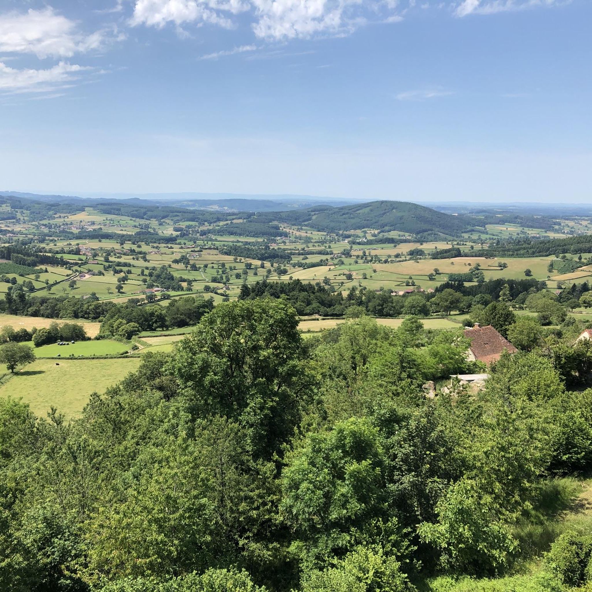
La Butte de Suin is a 593-meter-high viewpoint hill in the Saône-et-Loire department, near the small French municipality of Suin. From the summit, there is an impressive 360-degree panoramic view. In clear weather, you can look far over the hilly landscapes of Southern Burgundy (including the Charolais and Clunysois regions, and as far as Beaujolais). At the summit, there is a striking statue of the Virgin Mary, an orientation table for hikers, and the remains of an old fortress that was used from the Celtic period until the 16th century.
0
0
The KKriegerdenkmal commemorates the fallen of the World Wars. In November 1943, the site played a role in the French Resistance when local Maquisards (resistance fighters) marched to the monument to lay a wreath, despite the German occupation.
0
0
The Église Saint-Barthélemy is a charming village church, rebuilt in the 19th century in the neo-Gothic style. It has a historical, considerably older bell tower in the Romanesque style. The church is part of the Roman Catholic parish of Sainte-Marie-sous-Dun in the Diocese of Autun.
0
0
Mont Saint-Cyr is located in southern Burgundy (Département Saône-et-Loire) in the municipality of Montmelard and, at 771 meters, is the highest point in the Mâconnais mountains. From the summit, there is a wide panoramic view of the surrounding landscapes of Charolais, Brionnais, and Clunisois. In very clear weather, the view to the east even extends to Mont Blanc in the Alps. On the mountain are the historical remains of a 10th-century monastery that was destroyed during the Huguenot Wars. There is a picnic area in the forest, as well as orientation panels that are helpful in identifying the surrounding peaks and valleys.
0
0
Mont Saint-Cyr is located in southern Burgundy (Saône-et-Loire department) in the municipality of Montmelard and, at 771 meters, is the highest point of the Mâconnais mountains. From the summit, there is a wide panoramic view of the surrounding landscapes of Charolais, Brionnais, and Clunisois. In very clear weather, the view extends eastwards to Mont Blanc in the Alps. On the mountain are the historical remains of a 10th-century monastery, which was destroyed during the Huguenot Wars. There is a picnic area in the forest as well as orientation panels that are helpful in identifying the surrounding peaks and valleys.
0
0

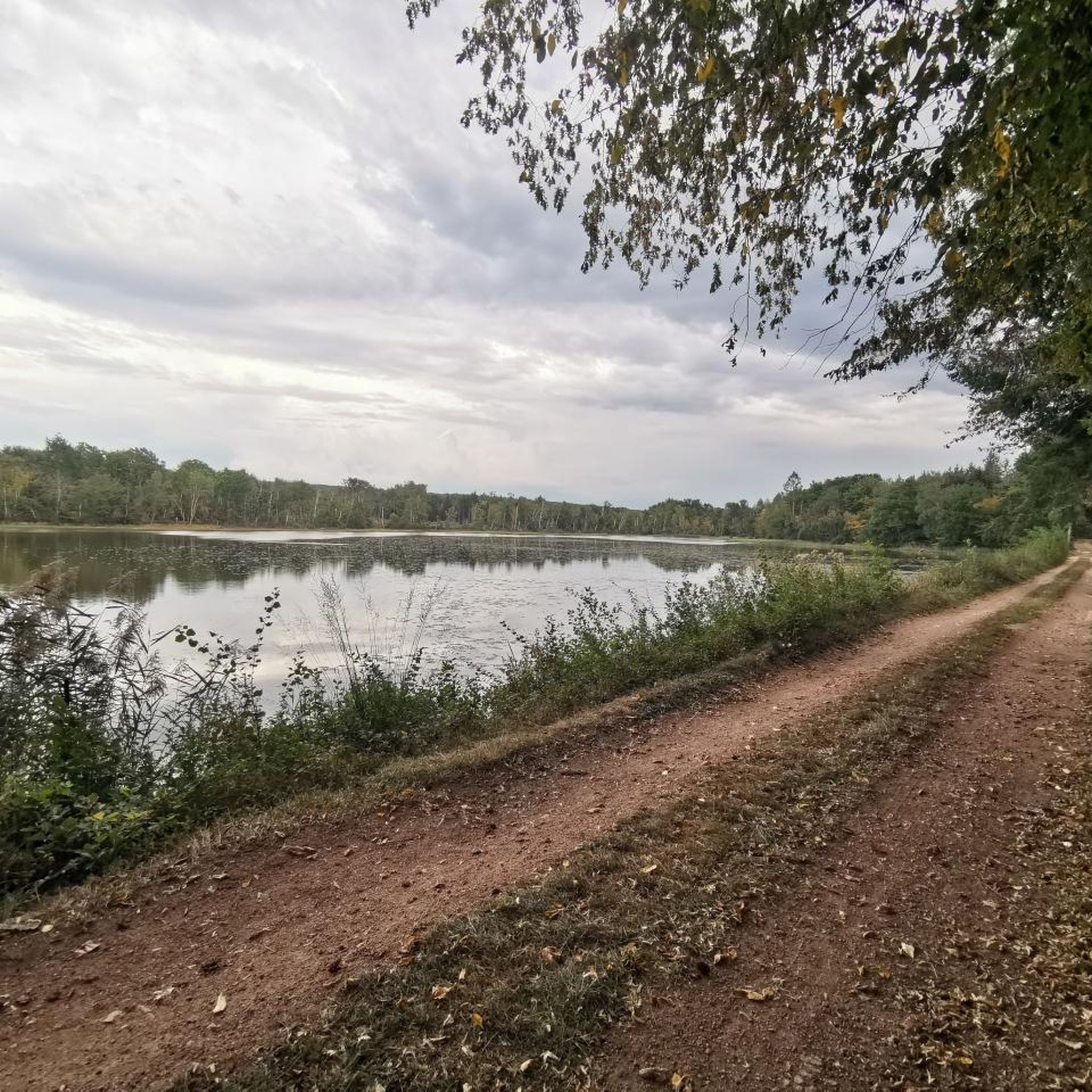
A pleasant stretch that runs alongside the Canal du Centre between Paray-le-Monial and Digoin.
0
0

It's so beautiful that words are insufficient
0
0

Frequently Asked Questions
How many touring cycling routes are available around Mornay?
There are nearly 40 touring cycling routes documented around Mornay on komoot, offering a wide variety of options for different skill levels and preferences.
Are there easy touring cycling routes suitable for beginners or families in Mornay?
Yes, Mornay offers 5 easy touring cycling routes, perfect for beginners or families looking for a relaxed ride. These routes often follow canal greenways or flatter river valleys. An example is the Arconce Bridge – Swimming loop from Charolles, which is a moderate 17.9 km ride.
What kind of terrain can I expect on touring cycling routes in Mornay?
The region around Mornay features a diverse landscape, including river valleys, canal greenways, and rolling hills. You'll find a mix of agricultural land and forested areas. While many routes are moderate, some include climbs to local viewpoints, offering varied terrain for cyclists.
Are there any challenging routes for experienced touring cyclists?
Absolutely. For experienced touring cyclists seeking a challenge, Mornay offers 18 difficult routes with significant elevation changes. The Mount St. Cyr – Charles the Bold Tour loop from Charolles is a demanding 50.1 km route with substantial climbs, leading through diverse landscapes.
What are some scenic viewpoints or attractions I can see along the cycling routes?
Many routes offer scenic views and pass by interesting landmarks. You can find panoramic views from Suin Hill or the Statue of the Virgin Mary and Panoramic View from Butte de Suin. Keep an eye out for a beautiful route through the hills of Burgundy, which is a highlight in itself.
Are the touring cycling routes in Mornay typically circular?
Many of the touring cycling routes around Mornay are designed as loops, allowing you to start and end your journey at the same point. For example, the Bike loop from Grandvaux is a moderate 14.7 km circular route.
What is the best time of year to go touring cycling in Mornay?
The spring and autumn months generally offer the most pleasant conditions for touring cycling in Mornay, with milder temperatures and beautiful scenery. Summer can also be enjoyable, though it can get warmer, especially in open agricultural areas. Winter cycling is possible but requires appropriate gear for colder temperatures.
What do other touring cyclists enjoy most about cycling in Mornay?
The komoot community rates the routes in Mornay highly, with an average score of 4.8 stars from over 15 reviews. Cyclists often praise the varied terrain, from tranquil canal paths to challenging rolling hills, and the opportunity to explore both agricultural and forested areas.
Are there any less crowded touring cycling routes in Mornay?
While some routes, like the Canal du Centre greenway, can be popular, many of Mornay's 39 routes offer a quieter experience, especially those venturing into the rolling hills and less frequented agricultural areas. Exploring some of the moderate or difficult loops further from main towns can often lead to a more secluded ride.
Are there options for parking near the touring cycling routes?
Many touring cycling routes around Mornay, particularly those starting from towns like Charolles, offer convenient parking options. It's advisable to check the starting points of specific routes on komoot for detailed parking information, as many are designed as loops returning to the origin.
What is the typical length and duration of touring cycling routes in Mornay?
The routes vary significantly in length and duration. You can find shorter rides like the Bike loop from Grandvaux at 14.7 km (around 1 hour 50 minutes), up to longer, more challenging tours like the Mount St. Cyr – Charles the Bold Tour loop from Charolles, which is 50.1 km and can take over 3 hours.
Most popular attractions around Mornay

Get inspired with the komoot mobile app


Explore more
Browse the best Cycling routes in other regions.
