The best MTB trails around Trambly
4.5
(38)
130
riders
52
rides
Mountain bike trails around Trambly offer varied terrain, characterized by elevations and natural features suitable for challenging rides. The region features green spaces and varied landscapes, including areas near Lac de Saint-Point Lamartine and the Rock of Solutré. These physical features contribute to a diverse network of routes for mountain bikers. The landscape provides opportunities for both climbs and descents, appealing to those seeking an active outdoor experience.
Best mountain bike trails around Trambly
- The most popular mountain bike trail…
Last updated: July 1, 2026
4.5
(8)
31
riders
40.0km
04:01
1,150m
1,150m
Hard mountain bike ride. Very good fitness required. Suitable for all skill levels.
4.0
(1)
5
riders
49.1km
04:11
920m
920m
Hard mountain bike ride. Very good fitness required. Suitable for all skill levels.

Sign up for free
2
riders
25.6km
02:30
720m
720m
Moderate mountain bike ride. Good fitness required. Suitable for all skill levels.
5.0
(3)
5
riders
40.4km
03:52
1,040m
1,040m
Hard mountain bike ride. Very good fitness required. Suitable for all skill levels.
5.0
(1)
6
riders
38.9km
03:06
700m
700m
Moderate mountain bike ride. Good fitness required. Suitable for all skill levels.
Get access to more routes and recommendations from other explorers.
Sign up for free
Already have an account?
Our route recommendations are based on thousands of hikes, rides, and runs completed by other people on komoot.
Start today with a free account
Your next adventure awaits.
Login or Signup
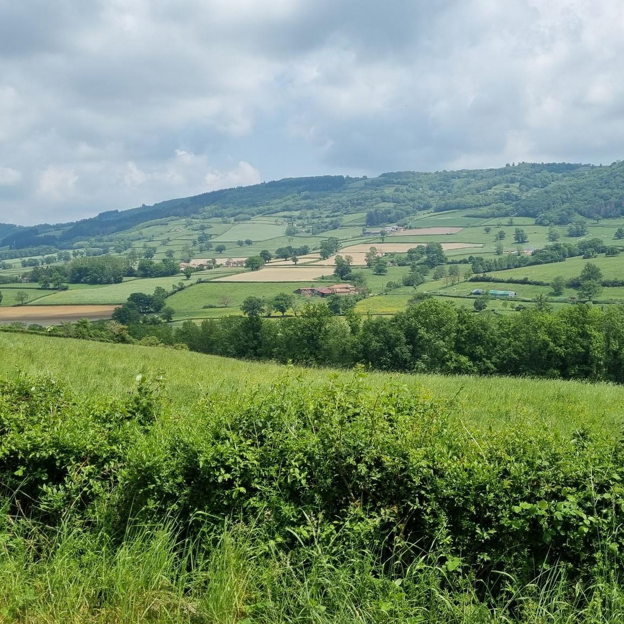
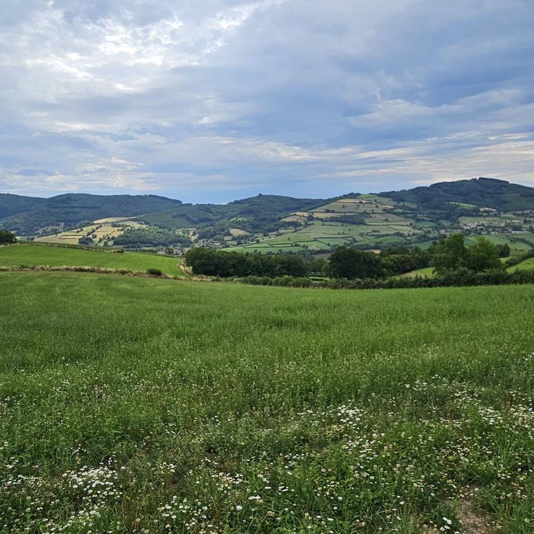
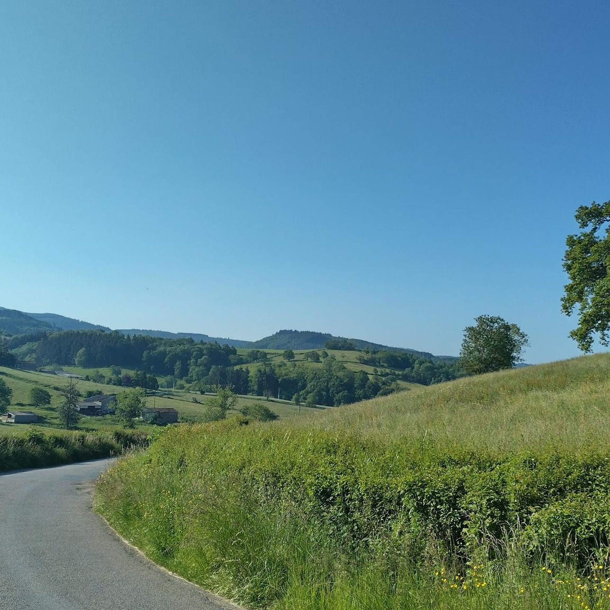
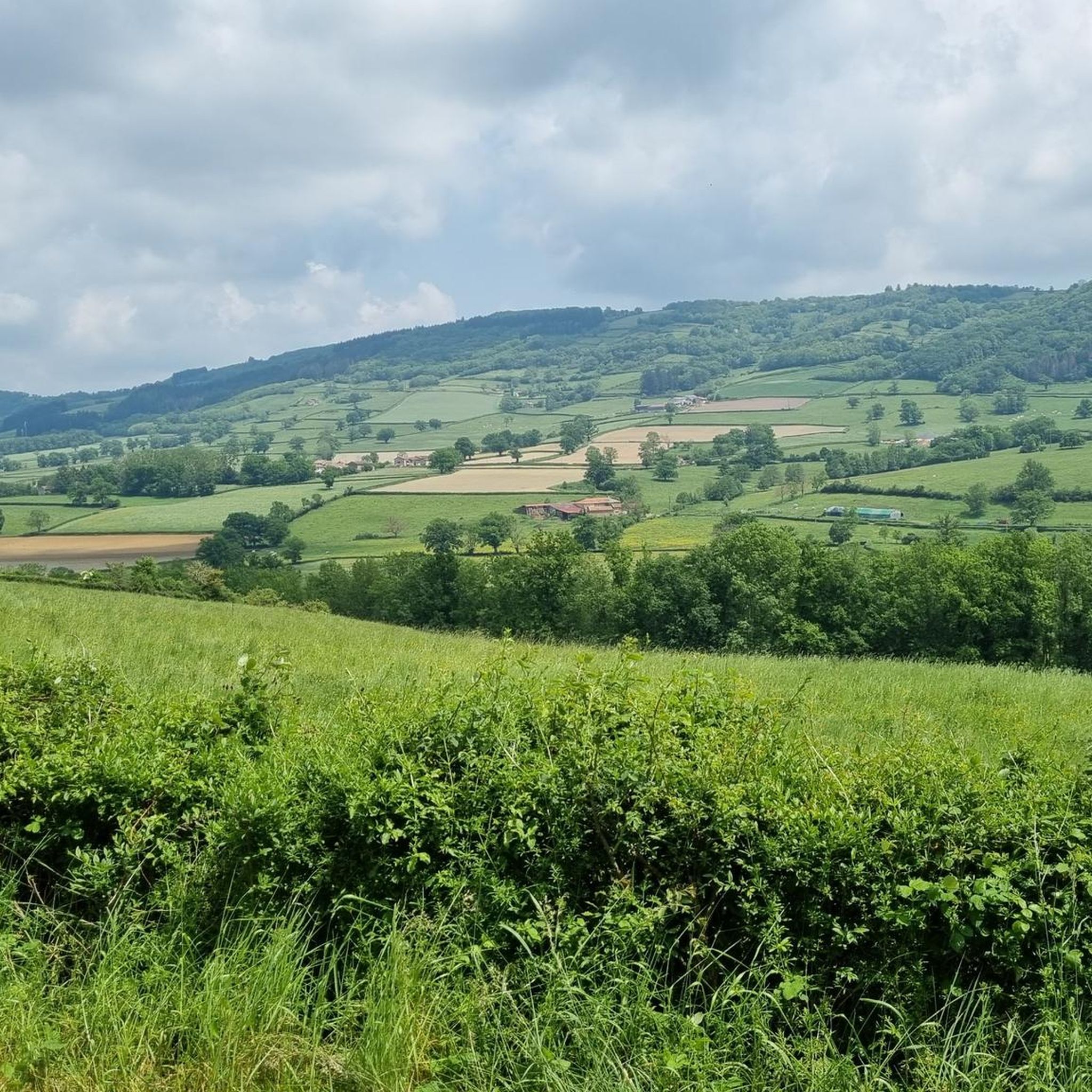
Tips from the Community

Imposing historic viaduct of a former railway line, built in 1909. The structure has a height of 27 meters and spans the Monsols valley. Today it is a popular destination for hiking and cycling tours.
0
0
Mont Saint-Cyr is located in southern Burgundy (Département Saône-et-Loire) in the municipality of Montmelard and, at 771 meters, is the highest point in the Mâconnais mountains. From the summit, there is a wide panoramic view of the surrounding landscapes of Charolais, Brionnais, and Clunisois. In very clear weather, the view to the east even extends to Mont Blanc in the Alps. On the mountain are the historical remains of a 10th-century monastery that was destroyed during the Huguenot Wars. There is a picnic area in the forest, as well as orientation panels that are helpful in identifying the surrounding peaks and valleys.
0
0
Mont Saint-Cyr is located in southern Burgundy (Saône-et-Loire department) in the municipality of Montmelard and, at 771 meters, is the highest point of the Mâconnais mountains. From the summit, there is a wide panoramic view of the surrounding landscapes of Charolais, Brionnais, and Clunisois. In very clear weather, the view extends eastwards to Mont Blanc in the Alps. On the mountain are the historical remains of a 10th-century monastery, which was destroyed during the Huguenot Wars. There is a picnic area in the forest as well as orientation panels that are helpful in identifying the surrounding peaks and valleys.
0
0
The lake is located in the Doubs department in the French region of Bourgogne-Franche-Comté at an altitude of around 850 meters. After Lac du Bourget and Lac d'Annecy, it is the third largest natural lake in France. It is a very popular lake for swimming in the summer and offers opportunities for kayaking, windsurfing, and stand-up paddling. There is also a popular hiking trail around the entire lake, approximately 20 kilometers long.
1
0

The roof of the Rhône, beautiful view of the upper Beaujolais
1
0
This old railway line is magnificent, all this work for having only been used for a few years.
1
0
cabin in the woods, shame it's not maintained
1
0

Frequently Asked Questions
How many mountain bike trails are there in Trambly?
There are over 50 mountain bike trails available around Trambly, offering a wide range of options for different skill levels and preferences.
What are the difficulty levels of mountain bike trails around Trambly?
The trails around Trambly cater to various skill levels. You'll find 3 easy routes, 36 moderate routes, and 12 difficult routes, ensuring options for beginners to experienced riders.
Are there challenging mountain bike trails for experienced riders near Trambly?
Yes, experienced riders can find several challenging routes. One such option is Montrouant Castle – View of Matour loop from Matour, a difficult 25.2-mile (40.6 km) trail with significant elevation gain.
Can beginners find suitable mountain bike routes in Trambly?
Absolutely. There are 3 easy mountain bike routes in the area, perfect for beginners or those looking for a more relaxed ride. Many moderate trails can also be enjoyed by those with some basic experience.
What do other mountain bikers say about the trails in Trambly?
The mountain bike trails in Trambly are highly regarded by the komoot community, with an average rating of 4.4 stars from over 30 reviews. Riders often praise the varied terrain and the scenic beauty of the region, including areas near Lac de Saint-Point Lamartine and the Rock of Solutré.
Are there any circular mountain bike routes in Trambly?
Many of the mountain bike routes around Trambly are designed as loops. For example, the Montagne Saint-Cyr – Mount St. Cyr loop from Dompierre-les-Ormes is a popular circular trail covering 15.9 miles (25.6 km).
What natural features or attractions can I see while mountain biking around Trambly?
The region offers diverse natural scenery. You can explore areas near the scenic Lac de Saint-Point Lamartine, or ride through varied landscapes with elevations that hint at features like the Rock of Solutré. Some routes also pass by landmarks such as Mount St. Cyr.
Are there any historical sites or landmarks accessible by mountain bike near Trambly?
Yes, you can encounter interesting landmarks. The Rest area by the stream – Château de Montrouant loop from Dompierre-les-Ormes route, for instance, takes you past the Château de Montrouant. Other highlights in the vicinity include the Tunnel du bois clair.
What is the typical length of mountain bike trails in Trambly?
Trail lengths vary significantly. You'll find shorter routes around 10-15 miles (16-24 km) and longer, more demanding trails extending up to 30 miles (48 km) or more, such as the Lake Saint-Point – Tramayes loop from Tramayes which is 30.5 miles (49.1 km).
Are there mountain bike trails with good viewpoints in the Trambly area?
Given the region's significant elevations and features like Mount St. Cyr, many trails offer excellent viewpoints. Routes that climb to higher ground will often reward you with panoramic vistas of the surrounding countryside and natural landscapes.
Is Trambly suitable for family-friendly mountain biking?
While many routes feature significant elevations, there are 3 easy trails that could be suitable for families with some biking experience. For a more relaxed family outing, consider shorter, less challenging sections of the moderate routes.
Most popular attractions around Trambly

Get inspired with the komoot mobile app


Explore more
Browse the best MTB trails in other regions.
