The best walks and hikes around Auvet-Et-La-Chapelotte
4.1
(46)
225
hikers
34
hikes
Hiking around Auvet-Et-La-Chapelotte offers diverse landscapes, characterized by a mix of wooded areas and open country. The region features the "ruisseau des Écoulottes" stream and several ponds, contributing to its natural water abundance. The topography includes the Mont d'Auvet, a prominent hill with historical significance, providing varied terrain. Hiking trails often lead through dense woods with single tracks, as well as mixed country roads and forest circuits.
Best hiking trails around Auvet-Et-La-Chapelotte
- The most popular hiking route is Pont de…
Last updated: July 18, 2026
5.0
(1)
19
hikers
11.0km
02:48
40m
30m
Moderate hike. Good fitness required. Easily-accessible paths. Suitable for all skill levels.
5.0
(1)
17
hikers
10.1km
02:33
20m
20m
Moderate hike. Good fitness required. Easily-accessible paths. Suitable for all skill levels.

Sign up for free
5.0
(1)
31
hikers
Easy hike. Great for any fitness level. Easily-accessible paths. Suitable for all skill levels.
4.5
(6)
9
hikers
8.90km
02:16
30m
30m
Moderate hike. Good fitness required. Easily-accessible paths. Suitable for all skill levels.
4.0
(1)
6
hikers
Easy hike. Great for any fitness level. Easily-accessible paths. Suitable for all skill levels.
Get access to more routes and recommendations from other explorers.
Sign up for free
Already have an account?
Our route recommendations are based on thousands of hikes, rides, and runs completed by other people on komoot.
Start today with a free account
Your next adventure awaits.
Login or Signup



Tips from the Community


A tranquil French town.
3
0

A former rural estate in the 11th century, it was fortified in the 15th century to respond to the wars of the time. The peasants took refuge there. Today, you have the pleasure of staying in this castle, which has become private property and is managed as a bed and breakfast. That said, it's a nice visit to take as part of your journey.
2
0
It was once a more rural estate in the 11th century before being fortified in the 15th century to respond to the wars of the time. The peasants can then take refuge there. Today, you have the pleasure of staying in this castle, which is now privately owned and run as a bed and breakfast.
2
0

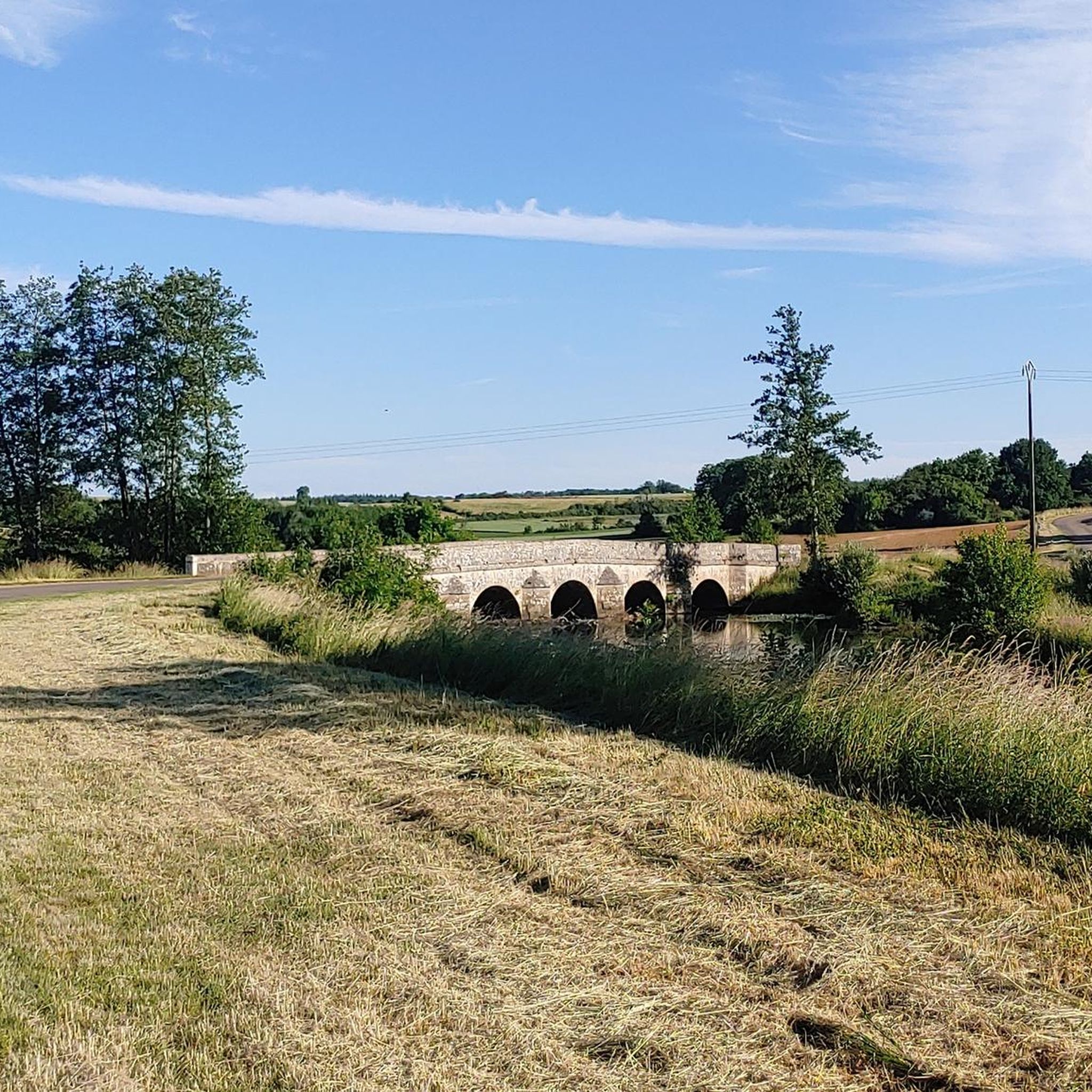
This magnificent stone bridge built in 1647 was destroyed several times. It is the main entrance to the town of Gray. The extract from the city's cadastre dated 1851 mentions: "The Saône bridge is one of the buildings which cost the city of Gray the most. In 1358, water and ice having completely ruined it, it was necessary , to restore it, more than three hundred gold florins. "
1
0

In Gray, a stone bridge with thirteen arches leads across the Saône, which was built from 1750 to 1758 on the site of a wooden bridge that was destroyed several times by wars and floods.
4
3
Frequently Asked Questions
How many hiking trails are available around Auvet-Et-La-Chapelotte?
There are over 25 hiking trails around Auvet-Et-La-Chapelotte, offering a variety of experiences for different skill levels. Many of these trails start from "La Maison de la Forêt," a local hub for outdoor activities.
What kind of terrain can I expect on hikes in Auvet-Et-La-Chapelotte?
The terrain around Auvet-Et-La-Chapelotte is quite diverse, featuring a mix of wooded areas, open country, and the prominent Mont d'Auvet hill. You'll find trails leading through dense woods with single tracks, as well as mixed country roads and forest circuits. The region also includes streams like the "ruisseau des Écoulottes" and several ponds.
Are there easy hiking options suitable for beginners or casual walkers?
Yes, Auvet-Et-La-Chapelotte offers plenty of easy hiking options. Out of the 26 available routes, 15 are classified as easy. An example is the Pont de Pierre of Gray – View of the Saône River in Gray loop from Gray, which is 4.2 km long and typically takes just over an hour to complete with gentle elevation changes.
What natural features or landmarks can I see while hiking in Auvet-Et-La-Chapelotte?
The region is rich in natural and historical sights. You can discover unique geological formations like the Achiffet rocks and the Pierre à Cheval rocks. Water features include the picturesque Val-et-Châtillon waterfall and several public ponds. Many trails also offer views of the Saône River, especially near Gray, and pass by the historic Pont de Pierre of Gray.
Are there any historical sites to explore on the trails?
Absolutely. The area holds significant historical importance. The Chapelotte Pass is a key landmark, particularly known for its role in World War I, with the "Path of Memory: La Chapelotte" revealing vestiges of both German and French fronts, including tunnels. You might also encounter the Ton chapel and vestiges of an ancient basilica on the mount of Auvet. Further afield, you can visit the impressive Château de Rosières.
What do other hikers enjoy most about hiking in Auvet-Et-La-Chapelotte?
The hiking trails around Auvet-Et-La-Chapelotte are highly rated by the komoot community, with an average score of 4.1 stars from over 40 reviews. Hikers often praise the diverse landscapes, the mix of wooded areas and open country, and the well-maintained paths that cater to various ability levels.
Are there circular hiking routes available?
Yes, many of the trails in the area are circular routes, perfect for day trips. For example, the Pont de Pierre of Gray loop from Rigny is a moderate 10.1 km path that offers scenic views of local waterways and rural scenery.
Can I find hikes that are suitable for families with children?
Yes, with 15 easy routes available, there are many options for families. The varied landscapes, including forests and ponds, provide engaging environments for children. Look for shorter, less strenuous loops, such as the View of the Saône River in Gray – Pont de Pierre of Gray loop from Gray, which is 2.6 km long and takes about an hour.
Is there parking available at trailheads?
While specific parking details for every trailhead are not provided, "La Maison de la Forêt" is a significant starting point for many marked trails and typically offers facilities for visitors, which would include parking. For other routes, it's advisable to check the individual tour details on komoot for parking information near the starting points.
What is the best time of year to go hiking in Auvet-Et-La-Chapelotte?
The region's diverse landscapes, including forests and water features, make it enjoyable throughout much of the year. Spring and autumn offer pleasant temperatures and beautiful scenery with blooming flowers or vibrant fall foliage. Summer provides shaded routes through the extensive wooded areas, while winter hikes can offer a unique, tranquil experience, though some paths might be less accessible depending on conditions.
Are there any waterfalls in the area?
Yes, hikers can discover the picturesque Val-et-Châtillon waterfall, which is one of the notable natural features in the region, adding to the scenic appeal of the trails.
Most popular routes around Auvet-Et-La-Chapelotte
Most popular attractions around Auvet-Et-La-Chapelotte

Get inspired with the komoot mobile app


Explore more
Browse the best Hikes in other regions.
