The best walks and hikes around Oyrières
4.5
(13)
123
hikers
27
hikes
Hiking around Oyrières, a village in Haute-Saône, France, offers opportunities for outdoor activities within its local woods and along the Ecoulottes brook. The terrain is generally gentle, with routes often following the Saône River and featuring minimal elevation changes. The region is characterized by a mix of wooded areas and riverine landscapes, providing paths suitable for leisurely walks.
Best hiking trails around Oyrières
- The most popular hiking route is Pont de Pierre of Gray loop from Gray, a 6.2…
Last updated: July 4, 2026
5.0
(1)
19
hikers
11.0km
02:48
40m
30m
Moderate hike. Good fitness required. Easily-accessible paths. Suitable for all skill levels.
5.0
(1)
17
hikers
10.1km
02:33
20m
20m
Moderate hike. Good fitness required. Easily-accessible paths. Suitable for all skill levels.

Sign up for free
4.0
(2)
28
hikers
Easy hike. Great for any fitness level. Easily-accessible paths. Suitable for all skill levels.
4.0
(1)
6
hikers
Easy hike. Great for any fitness level. Easily-accessible paths. Suitable for all skill levels.
5.0
(2)
7
hikers
9.69km
02:27
20m
20m
Moderate hike. Good fitness required. Easily-accessible paths. Suitable for all skill levels.
Get access to more routes and recommendations from other explorers.
Sign up for free
Already have an account?
Our route recommendations are based on thousands of hikes, rides, and runs completed by other people on komoot.
Start today with a free account
Your next adventure awaits.
Login or Signup



Tips from the Community

A tranquil French town.
3
0

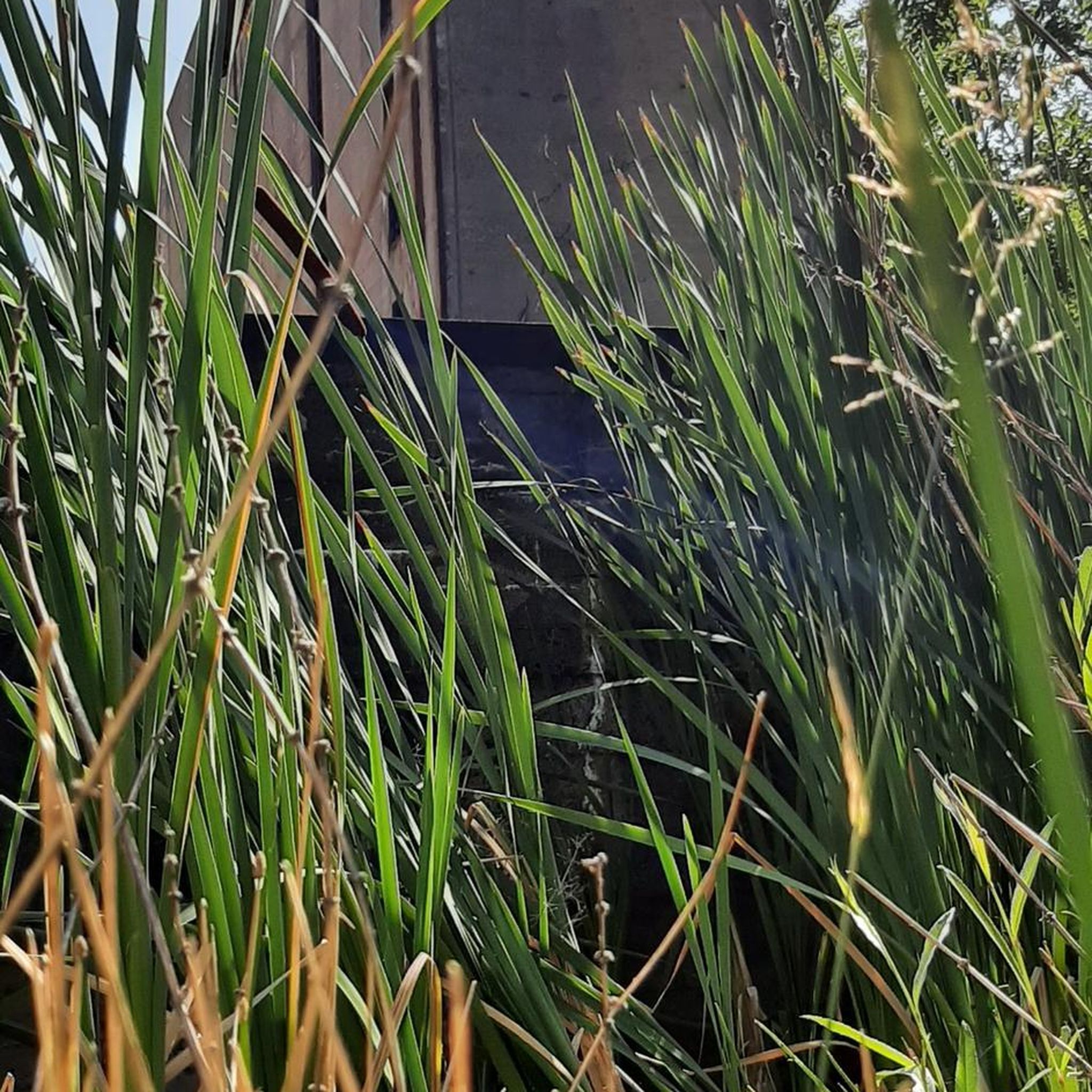
This magnificent stone bridge built in 1647 was destroyed several times. It is the main entrance to the town of Gray. The extract from the city's cadastre dated 1851 mentions: "The Saône bridge is one of the buildings which cost the city of Gray the most. In 1358, water and ice having completely ruined it, it was necessary , to restore it, more than three hundred gold florins. "
1
0

In Gray, a stone bridge with thirteen arches leads across the Saône, which was built from 1750 to 1758 on the site of a wooden bridge that was destroyed several times by wars and floods.
4
3
Frequently Asked Questions
How many hiking trails are available around Oyrières?
There are over 20 hiking trails available around Oyrières, offering a variety of options for different preferences. Most of these routes are considered easy to moderate.
What kind of terrain can I expect on hikes near Oyrières?
Hikes near Oyrières typically feature gentle terrain with minimal elevation changes. You'll find paths winding through local woods, along the Ecoulottes brook, and often following the scenic Saône River. The region is characterized by a mix of wooded areas and riverine landscapes, making for pleasant, accessible walks.
Are there any easy or family-friendly hiking options in Oyrières?
Yes, Oyrières offers many easy routes suitable for families. For instance, the Pont de Pierre of Gray – View of the Saône River in Gray loop from Gray is an easy 4.2 km (2.6 miles) trail that takes just over an hour to complete, perfect for a leisurely family outing along the river.
Can I find circular hiking routes around Oyrières?
Many of the trails around Oyrières are designed as circular routes, allowing you to start and end at the same point. A popular moderate option is the Pont de Pierre of Gray loop from Gray, which covers about 10 km (6.2 miles) and takes around 2 hours 30 minutes, offering views of the historic stone bridge and the Saône River.
What natural features or landmarks can I see while hiking in the Oyrières area?
While hiking, you can explore the local woods and follow the Ecoulottes brook. The Saône River is a prominent feature, with several trails offering views of its banks and the historic Pont de Pierre of Gray. The wider Haute-Saône department, where Oyrières is located, is known for its extensive forests and the unique Plateau des 1000 Étangs, often called 'Little French Finland,' which offers exceptional biodiversity and numerous ponds.
Are there any historical sites or cultural points of interest to explore in Oyrières?
Yes, Oyrières itself has cultural interest. The village features two historic wash-houses (fontaines-lavoirs) that are classified as historical monuments, one dating back to 1827-1829. The Church of the Nativity of Saint John the Baptist, rebuilt in 1838, also displays a beautiful sundial. These sites add a cultural dimension to walks originating from or passing through the village.
What do other hikers enjoy the most about hiking in Oyrières?
The hiking experience around Oyrières is highly rated by the komoot community, with an average score of 4.5 stars from over 10 reviews. Hikers often praise the quiet woodlands, the gentle riverine landscapes along the Saône, and the well-maintained paths that make for relaxing and accessible outdoor adventures.
Are there any longer, more challenging hikes available near Oyrières?
While Oyrières primarily offers easy to moderate routes, you can combine trails for a longer experience. For example, the Pont de Pierre of Gray loop from Rigny is a moderate 10.1 km (6.3 miles) path that takes around 2 hours 30 minutes. For even longer treks, the wider Haute-Saône region boasts 19 marked trails covering over 200 km, including options in the Plateau des 1000 Étangs.
Is Oyrières a good base for exploring the wider Haute-Saône region?
Absolutely. Oyrières is strategically located, making it a convenient base for exploring the natural beauty and historical sites of the Haute-Saône department. It offers direct access to local woods and trails, and its proximity to significant regional hiking areas like the Plateau des 1000 Étangs and the scenic routes of the Val de Saône makes it an excellent starting point for diverse outdoor adventures.
What is the best time of year to go hiking in Oyrières?
The region around Oyrières, with its extensive forests and riverine paths, is enjoyable for hiking throughout much of the year. Spring and autumn offer pleasant temperatures and beautiful scenery, with changing foliage in the wooded areas. Summer provides ample shade on forest trails, while winter can offer a unique, tranquil experience, though some paths might be muddy or require appropriate gear.
Are there any specific attractions along the Saône River trails?
Yes, trails along the Saône River often lead to or pass by interesting points. Besides the notable Pont de Pierre of Gray, you might encounter the town of Gray itself, or natural features like the Vereux Diversion. The historic Via Francigena also follows parts of the Val de Saône, offering varied landscapes.
Most popular attractions around Oyrières

Get inspired with the komoot mobile app


Explore more
Browse the best Hikes in other regions.
