The best cycling routes around Givenchy-Lès-La-Bassée
4.5
(94)
628
riders
29
rides
Touring cycling routes around Givenchy-Lès-La-Bassée traverse a flat landscape characterized by an extensive network of canals and former industrial routes. The region's gentle topography, shaped by waterways, provides accessible cycling for various skill levels. Paths often follow canal-sides and "voies vertes," offering a consistent and smooth riding experience. This area is defined by its blend of natural water features and historical significance.
Best touring cycling routes around Givenchy-Lès-La-Bassée
- The most popular touring cycling route is Beuvry Water Sports Center –…
Last updated: July 14, 2026
4.3
(3)
13
riders
Easy bike ride. Great for any fitness level. Mostly paved surfaces. Suitable for all skill levels.
10
riders
20.3km
01:13
50m
50m
Easy bike ride. Great for any fitness level. Mostly paved surfaces. Suitable for all skill levels.

Sign up for free
4.0
(1)
13
riders
26.6km
01:31
40m
40m
Easy bike ride. Great for any fitness level. Mostly paved surfaces. Suitable for all skill levels.
3.7
(3)
8
riders
15.9km
00:55
20m
20m
Easy bike ride. Great for any fitness level. Mostly paved surfaces. Suitable for all skill levels.
5.0
(2)
9
riders
10.0km
00:35
10m
10m
Easy bike ride. Great for any fitness level. Mostly paved surfaces. Suitable for all skill levels.
Get access to more routes and recommendations from other explorers.
Sign up for free
Already have an account?
Our route recommendations are based on thousands of hikes, rides, and runs completed by other people on komoot.
Start today with a free account
Your next adventure awaits.
Login or Signup


Tips from the Community

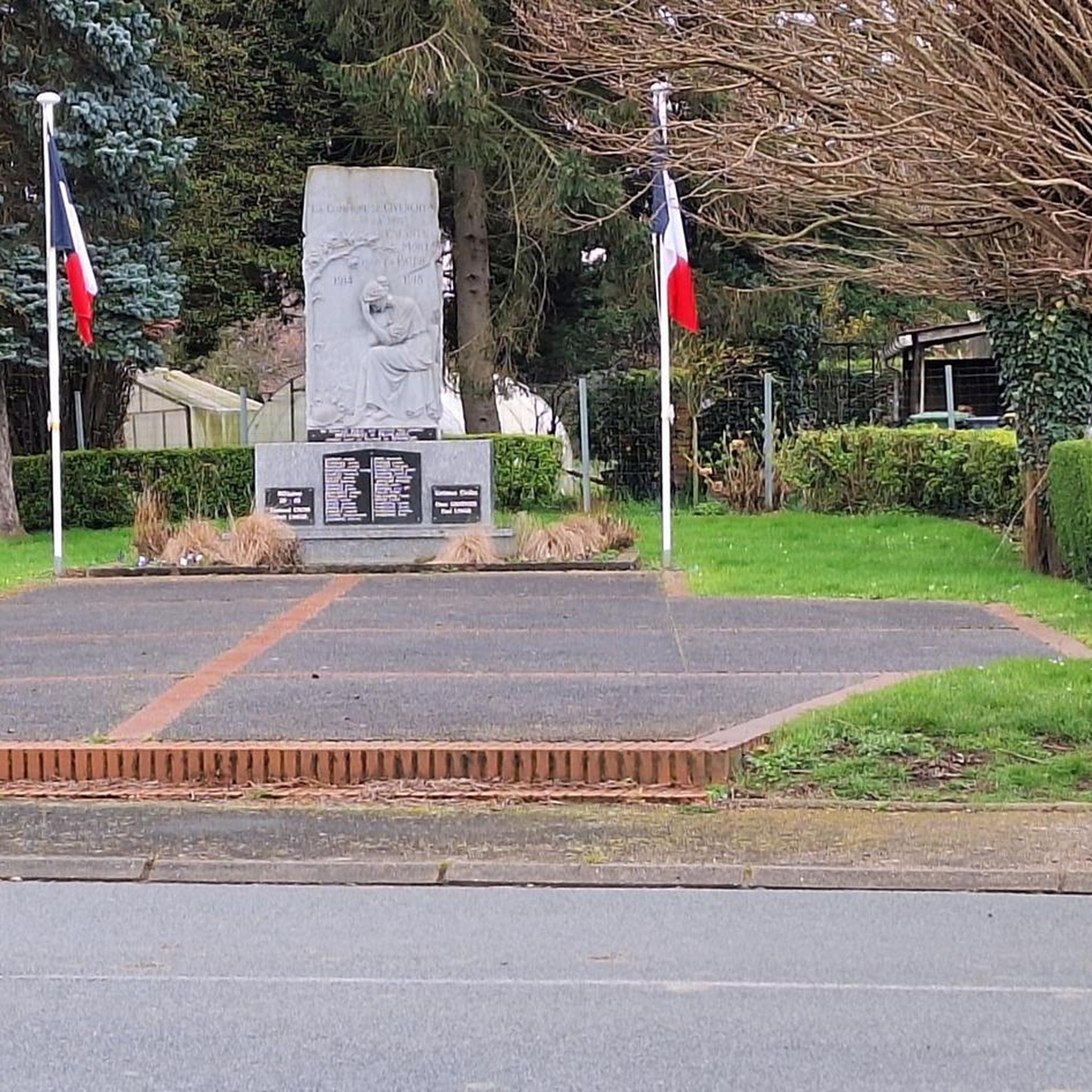
A special event took place in May 2024, when the reburial of Private David Valentine Gemmell was held. His remains were discovered by a farmer in Cuinchy and identified by MOD War Detectives. The ceremony was attended by members of his family and the regiment to pay their respects. It was an emotional and respectful occasion, which also included the remembrance of an unknown soldier.
2
0
Woburn Abbey Cemetery is a cemetery managed by the Commonwealth War Graves Commission (CWGC). The cemetery contains the graves of over 550 soldiers who died in the First World War. The cemetery was originally established by the Royal Berkshire Regiment in June 1915 and contains graves of soldiers from several smaller cemeteries in the area.
2
0

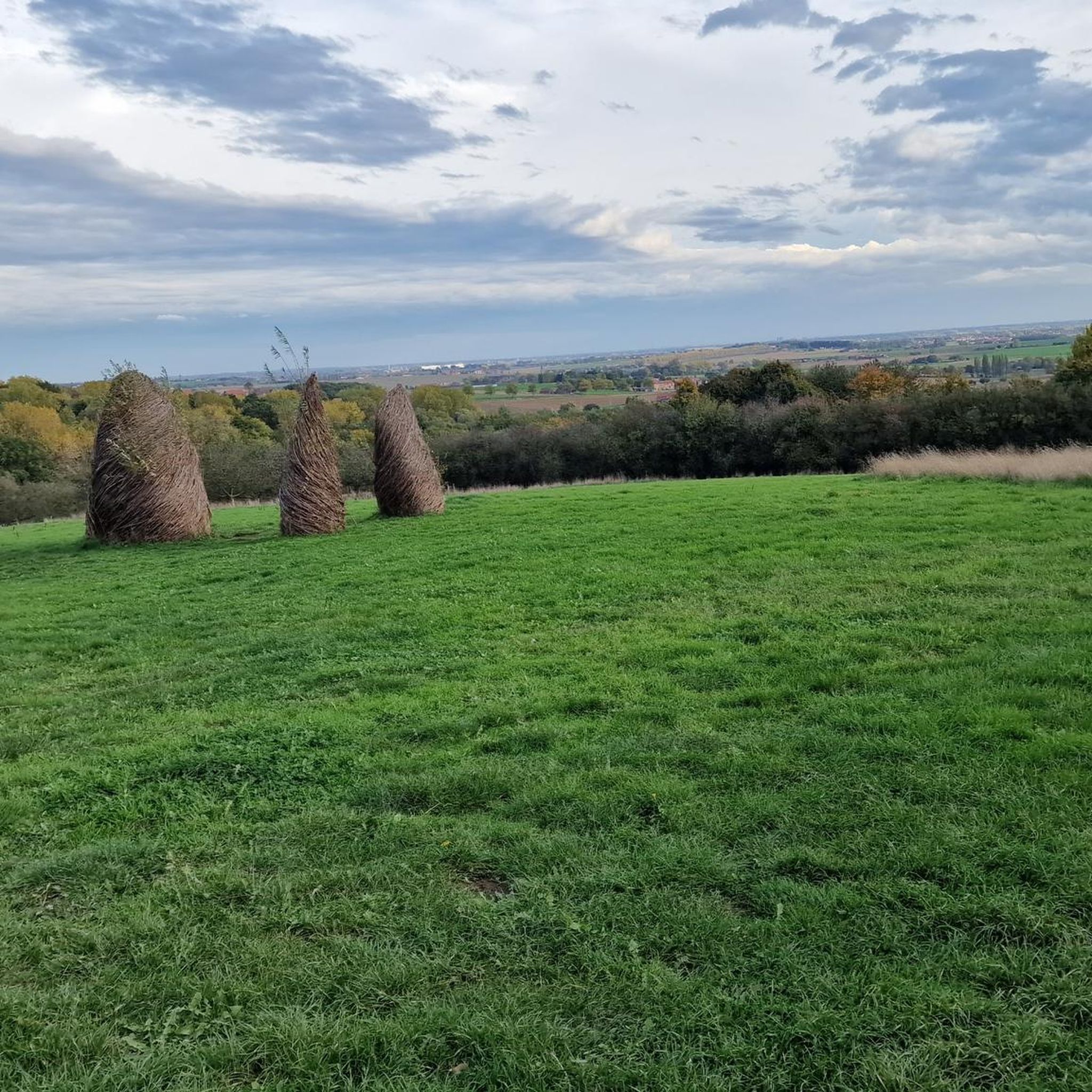
ideal place to improve your mountain bike/gravel/cyclocross technique between the trees, short and steep climbs, descents...
0
0
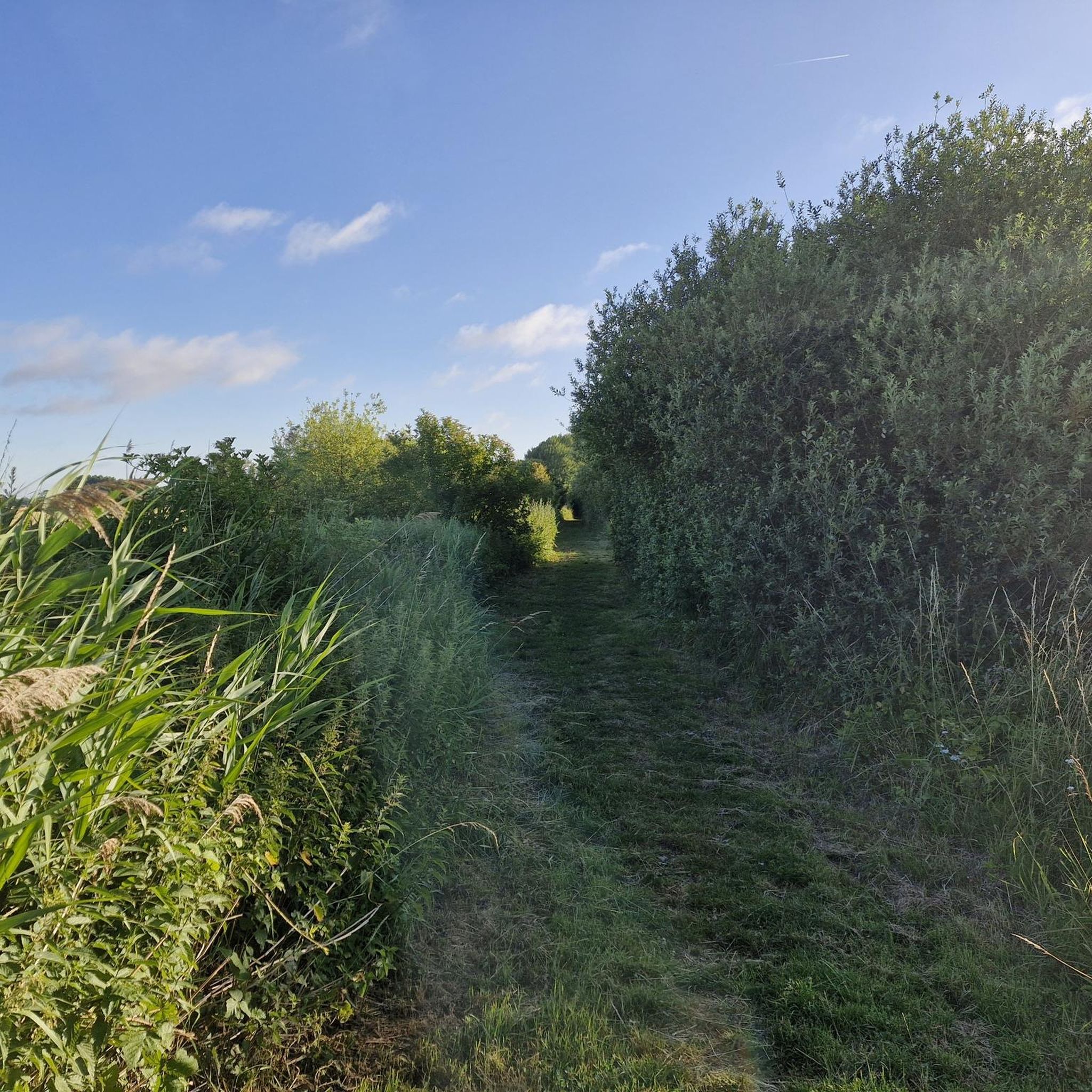
Beautiful resting place along the canal.
7
0
In the North and in Belgium, the “Grand'Places” are special places, unique places. Centres of life and encounters, but also places rich in their remarkable architecture. Brussels, Lille, Arras of course... But Béthune is no exception to the rule, far from it! The Grand Place of Béthune is less known than the Belfry and has an astonishing charm! Art Deco and the regionalist style predominate on all the facades. During the First World War, Béthune was a rear-front town defended by the British. In May 1918, it was hit by German bombardments and 90% of the city centre was destroyed. In the aftermath of the conflict, the city wanted a modern urban environment, but without breaking with history. The architects appointed for this reconstruction were Jacques Alleman, Paul Dégez and Léon Guthmann. They then adopted an eclectic style combining Art Deco and regionalist architecture, which today gives the city centre its originality and charm. As you cross the Grand Place, look up to enjoy this surprising architecture. Discover the many details that adorn the facades: bunches of grapes, vine leaves, shells, sun...
9
0
facades: note those of the old Delepierre grocer's (bar le Kerry), the Maison du canon (old arms factory) and to its left the narrower facade with its pointed roof, or those of the Hôtel du Beffroi and the town hall.
8
0
The Belfry of Béthune is a historic belfry in the northern French city of Béthune. The tower is 33 metres high and contains a carillon with 36 bells. It is one of 56 belfries in Belgium and France that have been declared a UNESCO World Heritage Site. The first belfry of Béthune was a wooden construction from 1346. It burned down in 1388 and then the current tower was built. In 1918, German artillery fire caused great damage to the city. The belfry was also badly damaged; the restoration lasted from 1921 to 1923.
8
0
The town hall is a listed monument. The façade features the Croix de Guerre and the Légion d'Honneur, which were awarded to the town in 1919 for the courage and resistance of the inhabitants of Béthune during the war. The interior is in Art Deco style.
8
0
Frequently Asked Questions
How many touring cycling routes are available around Givenchy-Lès-La-Bassée?
There are over 30 touring cycling routes around Givenchy-Lès-La-Bassée. The majority of these, about 20, are rated as easy, making the area very accessible for various skill levels.
What is the general difficulty level of touring cycling routes in Givenchy-Lès-La-Bassée?
The touring cycling routes in Givenchy-Lès-La-Bassée are predominantly easy, with minimal elevation gain. Out of over 30 routes, 20 are classified as easy, 9 as moderate, and only 1 as difficult. This makes the region ideal for relaxed rides and families.
What do other cyclists say about touring cycling in Givenchy-Lès-La-Bassée?
The touring cycling routes in Givenchy-Lès-La-Bassée are highly rated by the komoot community, with an average score of 4.5 stars from over 90 reviews. Cyclists often praise the flat terrain, scenic canal-side paths, and the tranquil atmosphere.
What kind of terrain can I expect on touring cycling routes in Givenchy-Lès-La-Bassée?
You can expect a largely flat landscape characterized by an extensive network of canals and former industrial routes. Paths often follow canal-sides and 'voies vertes' (greenways), offering a consistent and smooth riding experience. The region is known for its minimal elevation changes, allowing riders to focus on the scenery.
Are there family-friendly touring cycling routes in Givenchy-Lès-La-Bassée?
Yes, the flat topography and well-maintained canal-side paths make Givenchy-Lès-La-Bassée very suitable for family-friendly touring cycling. Many routes are easy and offer a safe, continuous cycling experience. An example is the Bike loop from Cuinchy, which is an easy 10 km ride.
Can I find circular touring cycling routes in the area?
Yes, many touring cycling routes in Givenchy-Lès-La-Bassée are designed as loops, allowing you to start and end at the same point. Examples include the Beuvry Water Sports Center – Canal de Beuvry-Préolan loop from Cuinchy and the Canal de Beuvry-Préolan – Port de Beuvry loop from Cuinchy.
What natural features can I see along the touring cycling routes?
The region is defined by its 'land of water,' so you'll frequently encounter canals and waterways, such as the Canal d'Aire à La Bassée. You can also explore marshlands and lakes. The Marsh Pond and Etang de Wingles are notable lakes in the vicinity, and the Etangs de la Tanche in Givenchy-lès-la-Bassée are open year-round.
Are there any historical landmarks or points of interest along the routes?
Yes, the area has a rich history, particularly tied to World War I. You might encounter the church of Givenchy-lès-la-Bassée and the monument of the 55th West Lancashire Division. The broader region also features 'terril' (slag heaps from mining), such as Terril 46 of Verquigneul and Spoil heaps 74 and 74a, which hint at the industrial heritage.
Where can I park my car when cycling in Givenchy-Lès-La-Bassée?
While specific parking areas for each route are not detailed, many routes start from villages like Cuinchy, where local parking options are generally available. Given the focus on canal-side paths, access points near bridges or locks often provide convenient starting points.
Is public transport accessible for reaching touring cycling routes?
The region's cycling network is well-integrated, and while direct public transport links to every trailhead might vary, towns like Lille (25 km away) and Arras (28 km away) offer train connections. From these larger hubs, local transport or cycling directly to the starting points of routes around Givenchy-Lès-La-Bassée is feasible.
What is the best time of year for touring cycling in Givenchy-Lès-La-Bassée?
The flat terrain and canal-side routes make touring cycling enjoyable for much of the year. Spring and autumn offer pleasant temperatures and beautiful scenery. Summer is also suitable, though it can be warmer. The region's accessible paths are generally well-suited for cycling in various seasonal conditions.
Are there any specific routes that offer particularly scenic views?
Many routes along the canals provide picturesque views of the waterways and surrounding countryside. The Port de Beuvry – Beuvry Water Sports Center loop from Cuinchy is noted for its scenic views along the waterways. The omnipresence of water and green rural landscapes ensures a tranquil and visually appealing experience on most paths.
Most popular routes around Givenchy-Lès-La-Bassée
Most popular attractions around Givenchy-Lès-La-Bassée

Get inspired with the komoot mobile app


Explore more
Browse the best Cycling routes in other regions.
