The best walks and hikes around Teterchen
4.5
(1724)
6,432
hikers
294
hikes
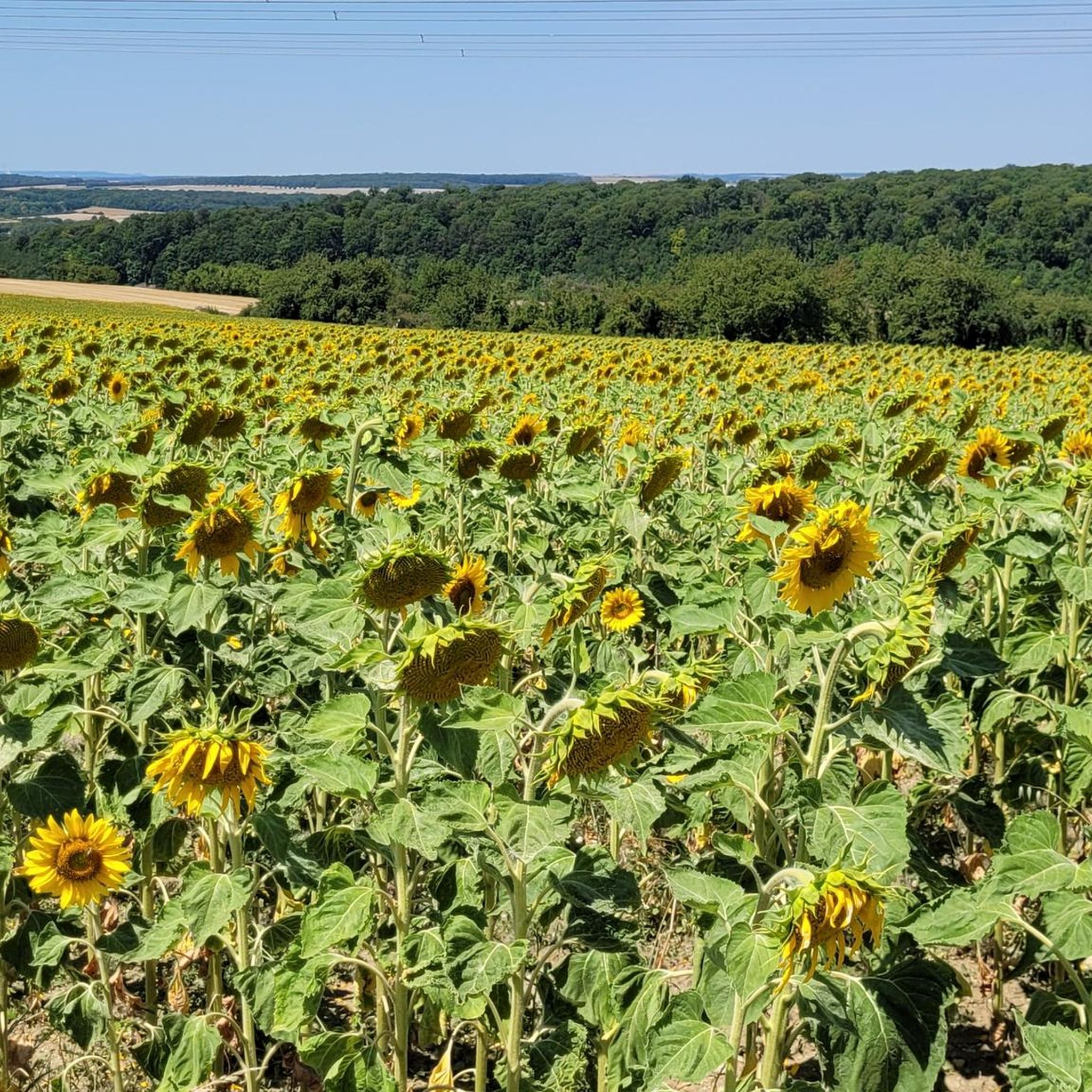
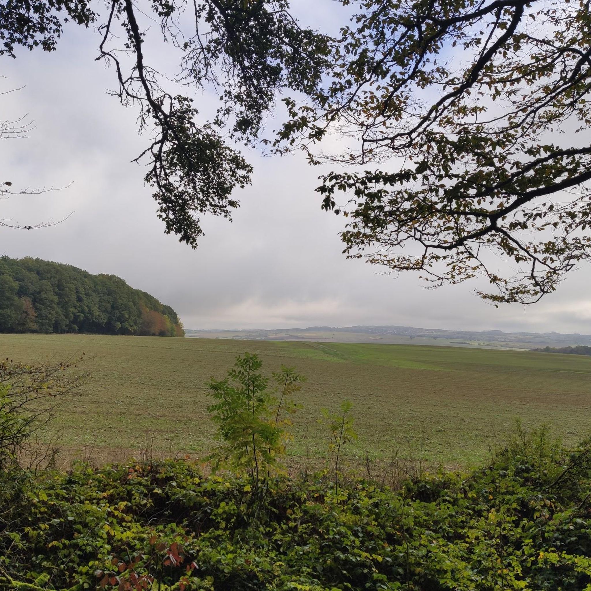
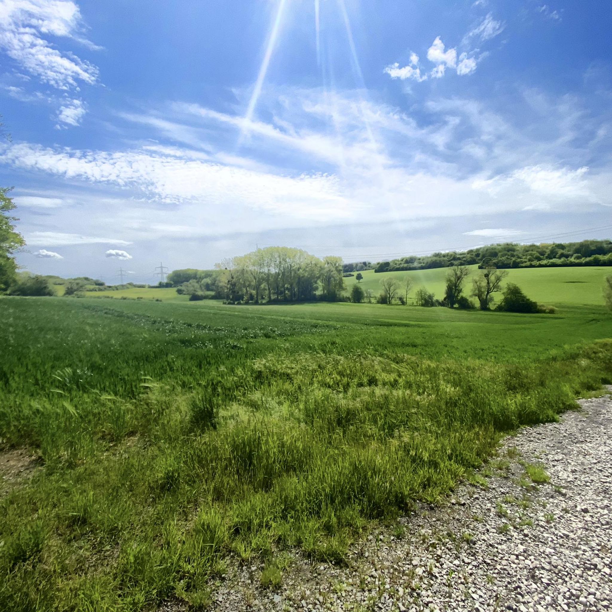
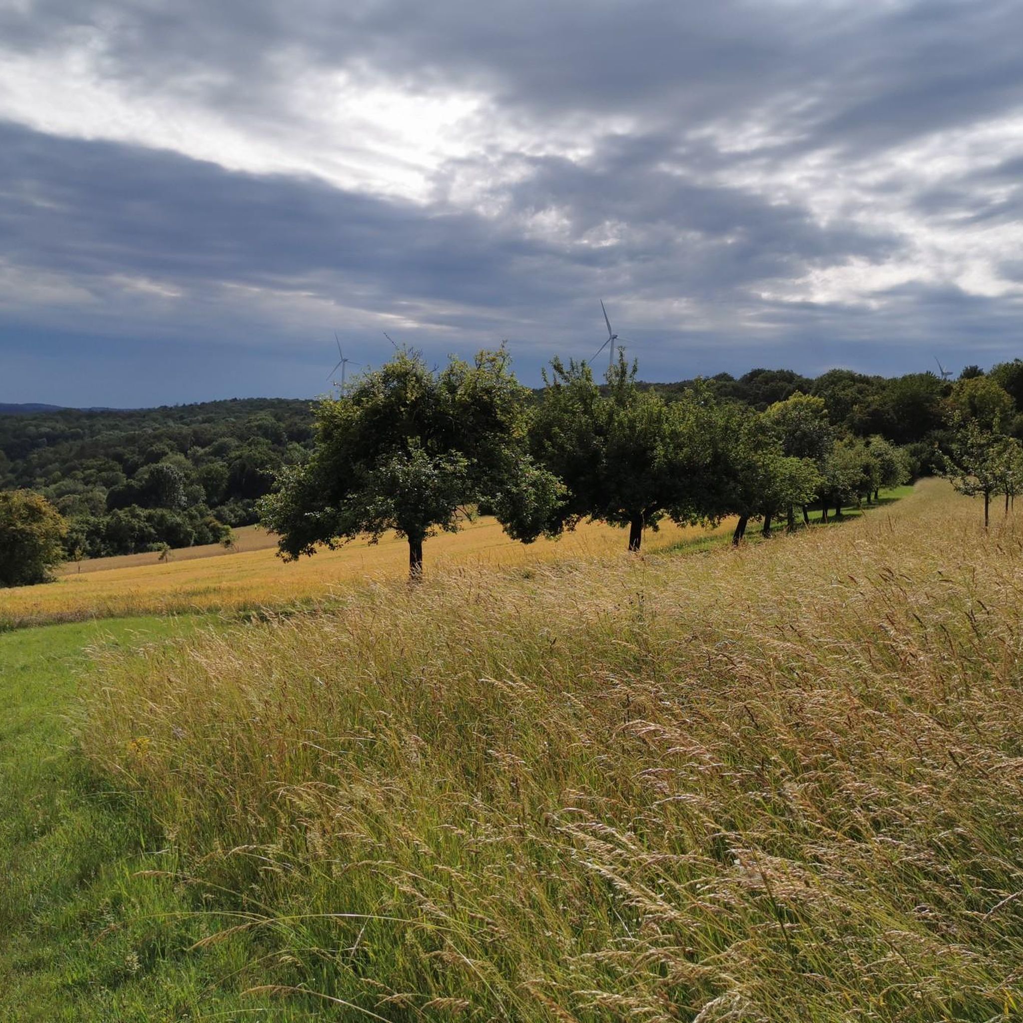
Hiking around Teterchen offers diverse landscapes within France's Grand Est region, characterized by extensive forests, verdant meadows, and picturesque valleys. The area features a network of accessible trails, including those within the Regional Nature Reserve of Velving-Teterchen. The broader Moselle region contributes varied terrain, providing a compelling destination for outdoor enthusiasts.
Best hiking trails around Teterchen
- The most popular hiking route is Water tower – View of Merten and the Forest loop from Falck, a 5.6 miles (9.0 km)…
Last updated: June 22, 2026
3.8
(4)
12
hikers
13.4km
03:48
280m
280m
Moderate hike. Good fitness required. Easily-accessible paths. Suitable for all skill levels.
4.5
(2)
16
hikers
6.83km
01:47
50m
60m
Easy hike. Great for any fitness level. Easily-accessible paths. Suitable for all skill levels.

Sign up for free
4.7
(3)
6
hikers
11.6km
03:08
150m
150m
Moderate hike. Good fitness required. Easily-accessible paths. Suitable for all skill levels.
5.0
(3)
3
hikers
7.25km
02:01
130m
130m
Moderate hike. Good fitness required. Easily-accessible paths. Suitable for all skill levels.
5
hikers
9.86km
02:44
170m
170m
Moderate hike. Good fitness required. Easily-accessible paths. Suitable for all skill levels.
Get access to more routes and recommendations from other explorers.
Sign up for free
Already have an account?
Our route recommendations are based on thousands of hikes, rides, and runs completed by other people on komoot.
Start today with a free account
Your next adventure awaits.
Login or Signup
Tips from the Community

The view from Tromborn Mountain (380 m) is breathtaking in all directions. Even in midsummer temperatures, it's a great place to take a break; I've always had a pleasant breeze up here.
0
0
On this tour, you can park directly at the viewpoint (about 5 vehicles), creating a "clean" circular route. The trail varies greatly in terms of terrain, from country roads to almost overgrown footpaths. The views are stunning in places; especially charming during alternating sunny and cloudy weather! About halfway through the tour, the trail was an impassable battlefield for forestry workers for about 1.5 km; it looked sad, but it was certainly temporary. Although I did this tour on a Saturday in June, I didn't see ANY other people (pedestrians); I thoroughly enjoyed it😊.
0
0

Ideal for cooling off on hot days 🥵. But not drinking water.
0
0

A wonderful view and a bench invite you to take a short break and remember the mining industry, which was our biggest employer here for so long🇫🇷🇩🇪
2
0

Sequoia has a circumference of about 5 m, measured at eye level 1.50 m
1
0

Nice place to take a break
0
0

This giant sequoia is one of the largest and oldest sequoias in Europe, with a height of 40 meters and a circumference of 11 meters. It was planted in 1866 by a German forester named Wilhelm Seltzam, who brought seeds from California.
4
1
The residents of Remering came up with something great.
0
0
Frequently Asked Questions
How many hiking trails are available around Teterchen?
Teterchen offers a wide variety of hiking experiences, with over 280 trails listed on komoot. These routes cater to all skill levels, including more than 130 easy trails, over 140 moderate options, and a few challenging paths for experienced hikers.
What kind of terrain can I expect on hikes in Teterchen?
Hiking around Teterchen features diverse landscapes, including extensive forests, verdant meadows, and picturesque valleys. You'll encounter varied terrain, from gentle paths suitable for families to more challenging sections with elevation changes. The area is also home to the Regional Nature Reserve of Velving-Teterchen, offering unique natural features.
Are there any circular hiking routes in Teterchen?
Yes, many of the hiking trails around Teterchen are circular, allowing you to start and end your journey at the same point. For example, the Water tower loop from Falck is a moderate 8.3 km circular route, perfect for a half-day outing.
What are some natural landmarks or viewpoints to discover while hiking?
The region around Teterchen boasts several natural highlights. You can explore the Beruser Kalksteinbruch Nature Reserve, a protected area with historical limestone mining insights. Another notable feature is The Giant Sequoia, which you can pass on routes like the Cassier la Houve – The Giant Sequoia loop from Hargarten-aux-Mines. Many trails also offer scenic viewpoints, such as the Viewpoint and rest area – Bench with view loop from Tromborn.
Is Teterchen a good destination for family-friendly hikes?
Absolutely. Teterchen offers many easy trails that are suitable for families with children. These routes often pass through forests and meadows, providing a pleasant outdoor experience without significant difficulty. Look for trails marked as 'easy' on komoot for the best family options.
Can I bring my dog on the hiking trails in Teterchen?
Generally, dogs are welcome on hiking trails in the Teterchen area, especially in the extensive forest and meadow regions. However, it's always advisable to keep your dog on a leash, particularly in nature reserves like Velving-Teterchen, and to check for any specific local regulations or signage along your chosen route.
What do other hikers enjoy most about hiking in Teterchen?
The area is highly rated by the komoot community, with an average score of 4.5 stars from over 1600 reviews. Hikers often praise the quiet woodlands, the well-marked paths, and the diverse scenery that includes both natural reserves and picturesque views over the Moselle region.
Are there any historical or cultural sites to see near the hiking trails?
Yes, Teterchen and its surroundings have historical significance. The commune once housed a Redemptorist convent, with its chapel still visible today. You can also find archaeological sites like tumulus necropolises. For a broader cultural experience, the historic city of Metz and the medieval village of Rodemack are within a short drive.
What is the best time of year to go hiking in Teterchen?
Spring and autumn are generally considered the best times for hiking in Teterchen. In spring, the meadows are lush and wildflowers bloom, while autumn offers beautiful foliage colors. Summer can also be pleasant, especially in the shaded forest areas, but always check the weather forecast for comfortable temperatures.
Are there options for public transport to reach hiking trailheads in Teterchen?
While Teterchen is a rural commune, public transport options might be limited directly to all trailheads. It's recommended to check local bus schedules for connections to Teterchen or nearby villages. Many hikers prefer to drive to trail starting points, where parking is often available.
Where can I find parking for hiking trails in Teterchen?
Parking is generally available near the starting points of many popular trails in and around Teterchen. For example, if you plan to hike routes originating from Falck, such as the Water tower – View of Merten and the Forest loop from Falck, you will typically find designated parking areas in the village or near the trailhead.
Are there any cafes or places to eat near the hiking routes?
Teterchen itself is a small commune, so amenities like cafes might be limited directly on the trails. However, you can find options in nearby larger towns and villages. It's a good idea to pack snacks and drinks for your hike and plan to visit a local establishment before or after your adventure.
Most popular routes around Teterchen
Most popular attractions around Teterchen

Get inspired with the komoot mobile app


Explore more
Browse the best Hikes in other regions.
