The best walks and hikes around Dolvingen
4.5
(246)
1,712
hikers
92
hikes
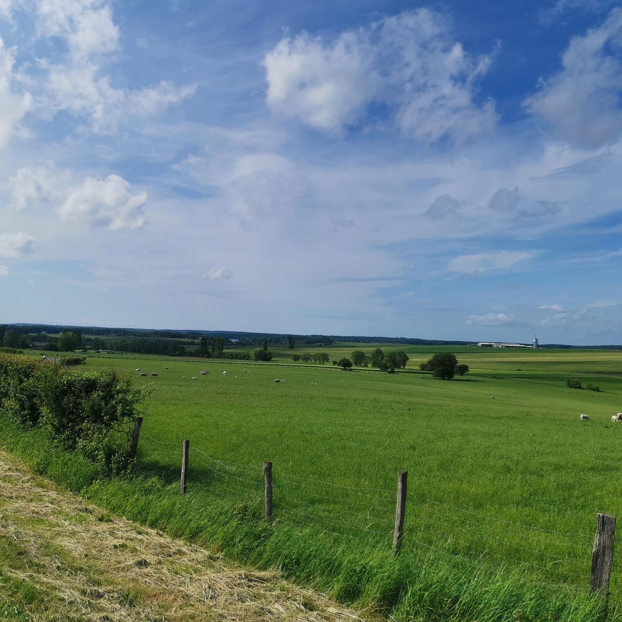
Hiking trails around Dolvingen are primarily found in the surrounding region of Sarrebourg, characterized by river valleys, gentle hills, and extensive forests. The landscape features the Saar river and various lakes, providing diverse natural settings for outdoor activities. This area of Moselle, France, offers a mix of open countryside and wooded paths.
Best hiking trails around Dolvingen
- The most popular hiking route is Bridge over the Saar – Stadtweiher Sarrebourg loop from Sarrebourg, a 3.1 miles (5.0 km) trail…
Last updated: July 5, 2026
5.0
(2)
52
hikers
4.72km
01:11
10m
10m
Easy hike. Great for any fitness level. Easily-accessible paths. Suitable for all skill levels.
5.0
(2)
39
hikers
3.08km
00:49
40m
40m
Easy hike. Great for any fitness level. Easily-accessible paths. Suitable for all skill levels.

Sign up for free
5.0
(3)
20
hikers
8.08km
02:10
100m
100m
Moderate hike. Good fitness required. Easily-accessible paths. Suitable for all skill levels.
4.0
(1)
13
hikers
Moderate hike. Good fitness required. Easily-accessible paths. Suitable for all skill levels.
5.0
(2)
13
hikers
10.3km
02:46
120m
120m
Moderate hike. Good fitness required. Easily-accessible paths. Suitable for all skill levels.
Get access to more routes and recommendations from other explorers.
Sign up for free
Already have an account?
Our route recommendations are based on thousands of hikes, rides, and runs completed by other people on komoot.
Start today with a free account
Your next adventure awaits.
Login or Signup
Tips from the Community

Nice small footbridge to the tiny island
3
0
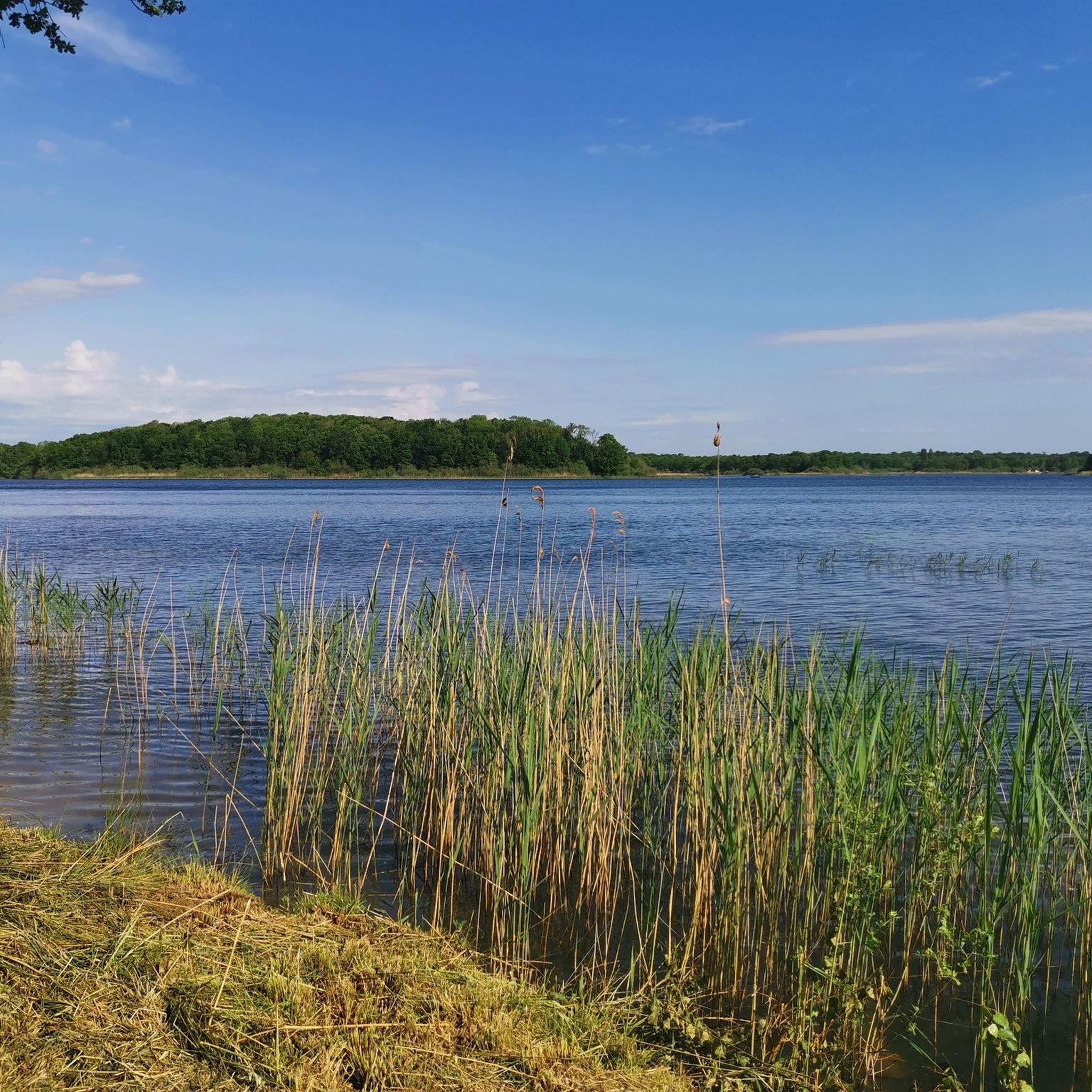
Beautifully landscaped and large lake in a small park landscape. Can be circled in about 20 minutes. Some bathing spots and also a small landing stage for boats. Pretty.
7
0
The originally Romanesque chapel today serves as a museum for a huge and many other Chagall windows. The history of the window is exciting: In 1970, it was decided to demolish the dilapidated building adjacent to the chapel. The chapel was then restored. Due to the demolition, the chapel was open to the east. Marc Chagall was commissioned to close the opening with a stained-glass window, the Window of Peace, completed in 1976.
6
0
The originally Romanesque chapel today serves as a museum for a huge collection of Chagall windows and many others. The history of the window is exciting: in 1970, it was decided to demolish the adjacent, dilapidated building. The chapel was then restored. Due to the demolition, the chapel was open to the east. Marc Chagall was commissioned to close the opening with a stained-glass window, the Window of Peace, completed in 1976.
6
0

The window "La Paix" ("Peace") was completed in 1976. Peace – symbolic, biblically inspired. In the context of openness to the east, the window functions not only as a closure of the opening, but as a source of light, as a space open to the light. Work on it took two years. Dimensions: approximately 12 meters high x 7.5 meters wide. Weight approximately 900 kg. Chagall designed the window, which was created together with the stained-glass artist Charles Marq in the Atelier Simon in Reims.
0
0

The former monastery is now a hotel that is also suitable for cycling tourists.
0
0

The Sarrebourg water and swimming area, formerly known as L’étang Lévêque (or Lévêque Pond), changed its name in 1984 and became the municipal pond. A change that was made in 1984, when the town hall bought the land that now serves as a recreational area from a private company. The loop walk around the pond is worth it.
0
0

In 2023, entry will cost €6 with a portable guide
1
0
Frequently Asked Questions
How many hiking trails are available around Dolvingen?
There are over 90 hiking trails around Dolvingen, offering a variety of options for different skill levels. This includes 48 easy routes, 42 moderate routes, and 1 difficult trail.
What kind of landscape can I expect on hikes near Dolvingen?
The hiking landscape around Dolvingen, located in the Moselle region of France, is characterized by river valleys, gentle hills, and extensive forests. You'll find paths along the Saar river and various lakes, providing a mix of open countryside and wooded trails.
Are there any family-friendly hiking options in Dolvingen?
Yes, many of the trails around Dolvingen are suitable for families. For an easy and scenic walk, consider the Hiking loop from Sarrebourg, which is 1.9 miles (3.1 km) long and offers views of the surrounding countryside.
Are dogs allowed on the hiking trails around Dolvingen?
Generally, dogs are welcome on hiking trails in the Moselle region, but it's always best to keep them on a leash, especially in nature reserves or near livestock. Always check local signage for specific restrictions on individual trails.
What are some notable attractions or landmarks I can see while hiking near Dolvingen?
While hiking, you can explore several interesting points of interest. The area features beautiful lakes such as the Grand Pond of Mittersheim and the Étang du Stock Dam. You might also encounter historical sites like those found on the Saint-Ulrich Convent loop from Sarrebourg.
Are there any circular walks available around Dolvingen?
Yes, many of the trails around Dolvingen are designed as circular routes. An example is the Bridge over the Saar – Stadtweiher Sarrebourg loop from Sarrebourg, an easy 3.1-mile (5.0 km) path that follows the Saar river and passes by the Stadtweiher lake.
What is the average length and duration of hikes in the Dolvingen area?
Hikes around Dolvingen vary in length and duration. Easy routes like the Bridge over the Saar – Stadtweiher Sarrebourg loop can be completed in about 1 hour 15 minutes, covering 3.1 miles (5.0 km). Longer, moderate trails such as the Saint-Ulrich Convent loop are around 6.9 miles (11.1 km) and take approximately 3 hours.
Are there any challenging or advanced hiking trails near Dolvingen?
While the majority of trails are easy to moderate, there is at least one difficult trail available for more experienced hikers. The region's terrain, with its gentle hills and river valleys, generally lends itself to accessible hiking, but longer routes like the Beautiful square in front of the church loop from Sarrebourg offer a good challenge with a distance of 11.7 km.
What do other hikers say about the trails in Dolvingen?
The hiking trails around Dolvingen are highly rated by the komoot community, with an average score of 4.4 stars from over 250 reviews. Hikers often praise the diverse natural settings, well-maintained paths, and the blend of natural beauty with historical sites.
Is public transport available to access hiking trailheads near Dolvingen?
Dolvingen is located in a rural part of Moselle, France. While public transport options might be limited directly to every trailhead, regional bus services or trains to nearby towns like Sarrebourg could provide access points. It's advisable to check local transport schedules in advance for specific routes.
Where can I find parking for hiking trails around Dolvingen?
Many trailheads, especially those starting from towns like Sarrebourg, offer designated parking areas. For routes that begin in more rural settings, roadside parking might be available, but always ensure you are parking legally and safely without obstructing local access.
What is the best time of year to go hiking in Dolvingen?
The best time to hike in Dolvingen is typically during spring, summer, and early autumn when the weather is mild and the natural scenery is at its most vibrant. Spring brings blooming flora, while autumn offers beautiful foliage. Winter hiking is possible, but some paths might be muddy or require appropriate gear.
Most popular routes around Dolvingen
Most popular attractions around Dolvingen

Get inspired with the komoot mobile app


Explore more
Browse the best Hikes in other regions.
