The best running trails around Éleu-Dit-Leauwette
4.4
(159)
12,186
runners
11
runs
Jogging routes around Éleu-Dit-Leauwette traverse a landscape shaped by both natural features and industrial heritage. The region includes the chalky prominence of Mont Eleu, offering varied routes with inclines, and the flatter, gently undulating paths of the Souchez valley. Rehabilitated mining landscapes, such as slag heaps (terril), provide elevated natural spaces with unique terrain and panoramic views for runners.
Best jogging routes around Éleu-Dit-Leauwette
- The most popular jogging route is Pinchoval – Pinchonval loop from Lens, a 12.1 miles…
Last updated: July 10, 2026
4.4
(5)
556
runners
19.5km
02:19
190m
190m
Hard run. Very good fitness required. Sure-footedness, sturdy shoes and alpine experience required.
61
runners
10.9km
01:17
110m
110m
Hard run. Good fitness required. Sure-footedness, sturdy shoes and alpine experience required.

Sign up for free
27
runners
7.55km
00:50
50m
50m
Moderate run. Good fitness required. Mostly paved surfaces. Suitable for all skill levels.
17
runners
6.46km
00:41
40m
40m
Moderate run. Good fitness required. Mostly paved surfaces. Suitable for all skill levels.
16
runners
15.5km
01:41
130m
130m
Hard run. Very good fitness required. Mostly paved surfaces. Suitable for all skill levels.
Get access to more routes and recommendations from other explorers.
Sign up for free
Already have an account?
Our route recommendations are based on thousands of hikes, rides, and runs completed by other people on komoot.
Start today with a free account
Your next adventure awaits.
Login or Signup
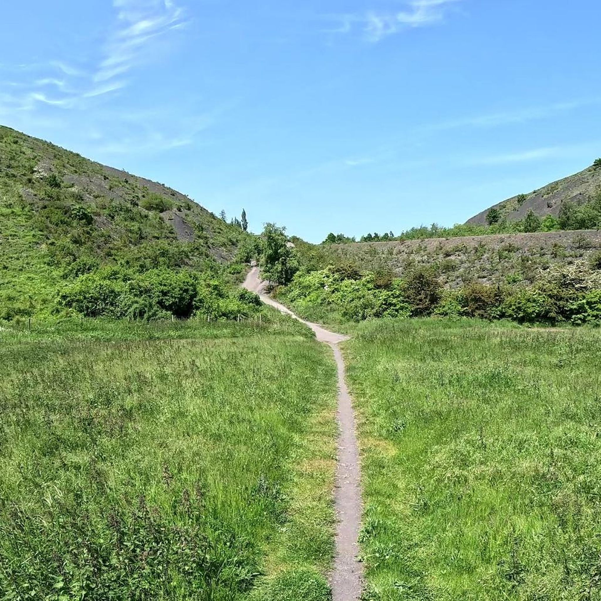
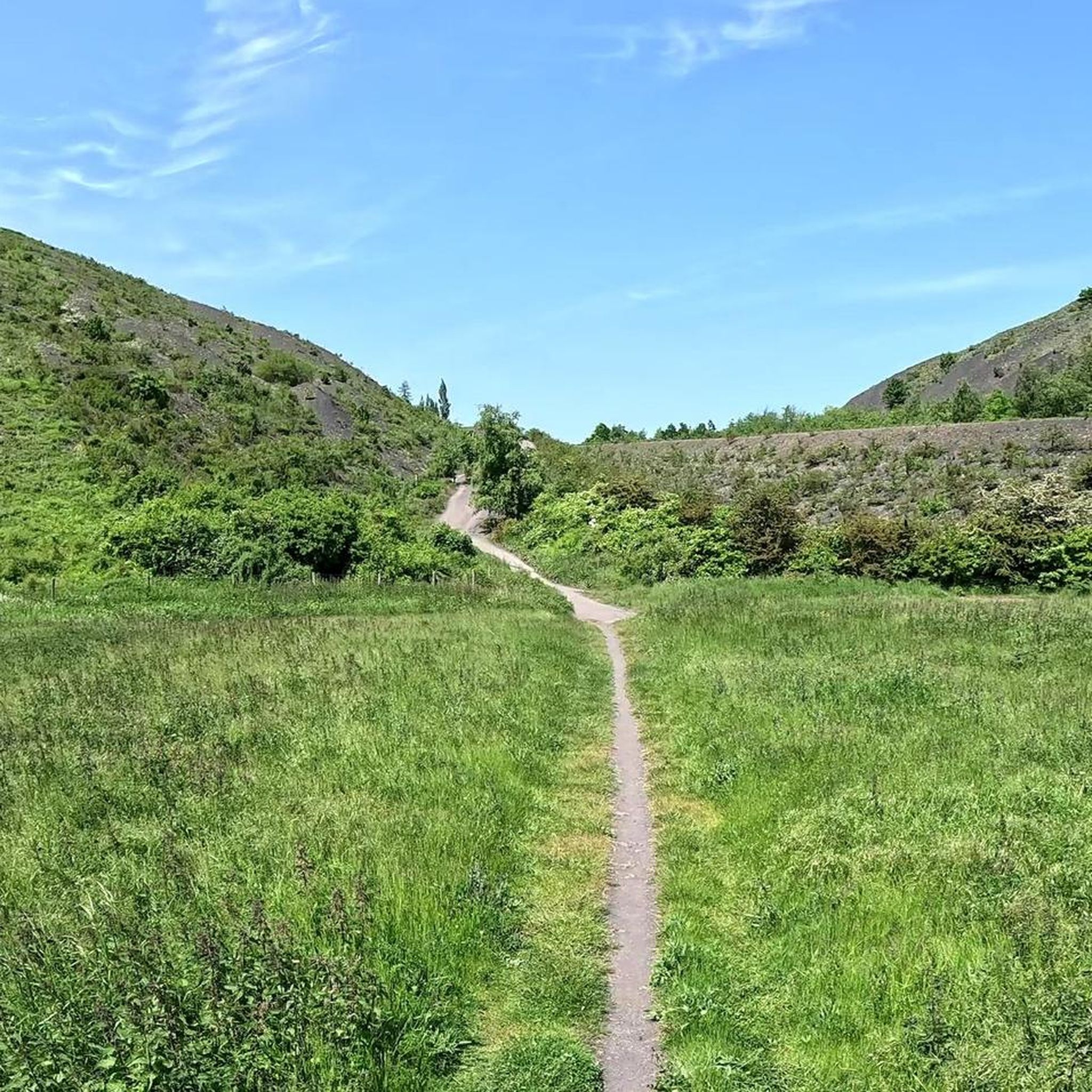


Tips from the Community


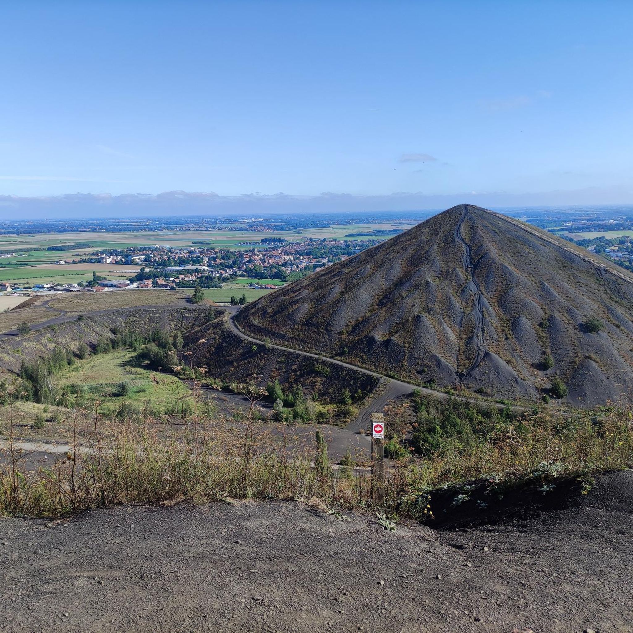
This viewpoint is located at the top of an old mining slag heap in the Parc de la Glissoire, a 55-hectare park which offers various activities such as fishing, canoeing and playgrounds. From the belvedere, you can enjoy a panoramic view of the landscape, in particular of the twin slag heaps of Loos-en-Gohelle, listed as a UNESCO world heritage site. The Parc des glissoires viewpoint is a privileged place to discover the beauty and diversity of the Pas-de-Calais region.
3
0

lots of elevation change, bring good shoes
1
1

Very nice place, worth a visit
1
1


this beautiful climb that must be overcome to contemplate just shortly after the monument of vimy
0
0


Rather steep climb at the start but not insurmountable along the Chemin d´Angres motorway.
1
0
Frequently Asked Questions
How many running routes are available around Éleu-Dit-Leauwette?
There are over 10 dedicated running routes available around Éleu-Dit-Leauwette, offering a diverse range of options for different fitness levels and preferences.
Are there easy jogging routes suitable for beginners in the Éleu-Dit-Leauwette area?
Yes, while many routes offer varied terrain, there is at least one easy running route available. The region's Souchez valley, for instance, features flatter or gently undulating paths that are ideal for more relaxed jogs or beginners.
What kind of terrain can I expect on the running trails near Éleu-Dit-Leauwette?
The running trails around Éleu-Dit-Leauwette offer a varied landscape. You'll find routes traversing the chalky prominence of Mont Eleu with some inclines, flatter paths in the Souchez valley, and unique elevated natural spaces on rehabilitated mining slag heaps (terril), which provide both elevation challenges and expansive vistas.
Are there any challenging routes for experienced runners?
Absolutely. For experienced runners seeking a challenge, the Pinchoval – Pinchonval loop from Lens is a demanding 19.5 km trail with significant elevation gain. Another difficult option is the Pinchonval loop from Lens, which covers 10.9 km with notable elevation changes.
Can I find circular running routes in Éleu-Dit-Leauwette?
Yes, many of the running routes in the area are circular. For example, the Terril 81 loop from Lens is a moderate 7.6 km circular path, and the Pinchoval loop from Les Marronniers offers a 9.9 km circular run.
What are some scenic jogging trails in the region?
The region offers several scenic options. Running on the rehabilitated slag heaps, such as those near Lens, provides panoramic views of the surrounding landscape. The Terril 81 loop from Lens is known for its varied terrain and could be considered scenic. Additionally, the Parc des Îles, a significant green space nearby, offers diverse landscapes for a picturesque run.
What do other runners say about the trails in Éleu-Dit-Leauwette?
The running routes in Éleu-Dit-Leauwette are highly rated by the komoot community, with an average score of 4.3 stars from over 170 reviews. Runners often praise the varied terrain, from chalky hills to valley paths and unique rehabilitated slag heaps, which offer diverse experiences for all ability levels.
Are there any interesting landmarks or attractions I can see while running?
Yes, the region's industrial heritage and natural features offer unique sights. You can encounter rehabilitated mining sites like the Loos-en-Gohelle slag heap or Spoil heaps 74 and 74a, which have been transformed into natural spaces. Nearby, you can also find historical sites such as the Canadian National Vimy Memorial.
Are the running routes around Éleu-Dit-Leauwette suitable for families?
While specific family-friendly routes are not detailed, the presence of easy and moderate trails suggests options for families. The Parc des Îles, located nearby, is known for its diverse green spaces and even hosts events with running distances suitable for children, indicating a family-friendly environment in the broader area.
Is there a moderate running loop I can complete in under an hour?
Yes, the Terril 81 loop from Lens is a moderate 7.6 km path that can typically be completed in about 49 minutes, making it a great option for a quicker run.
What is the longest running trail available in the area?
The longest running trail listed is the Pinchoval – Pinchonval loop from Lens, which spans 19.5 km and is suitable for experienced runners looking for a longer endurance challenge.
Are there any running routes that start from Cité des Aéroplans?
Yes, there is a specific route called Running loop from Cité des Aéroplans. This is a moderate 6.4 km loop, offering a convenient starting point for a run.
Most popular routes around Éleu-Dit-Leauwette
Most popular attractions around Éleu-Dit-Leauwette

Get inspired with the komoot mobile app


Explore more
Browse the best Running Trails & Routes in other regions.
