The best walks and hikes around Kindweiler
4.4
(985)
4,825
hikers
210
hikes
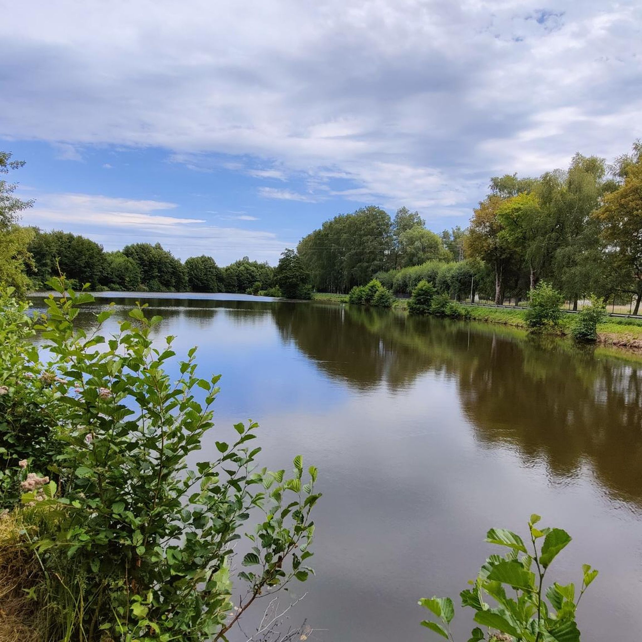
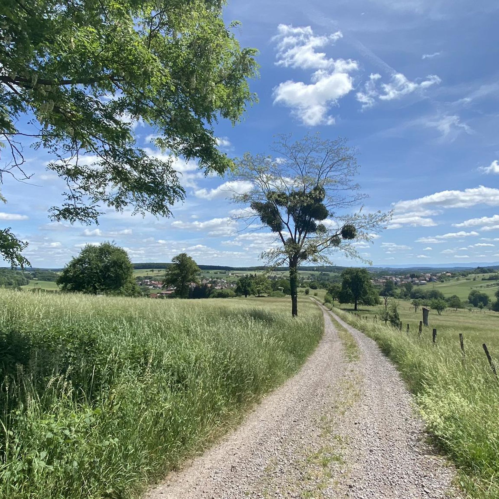
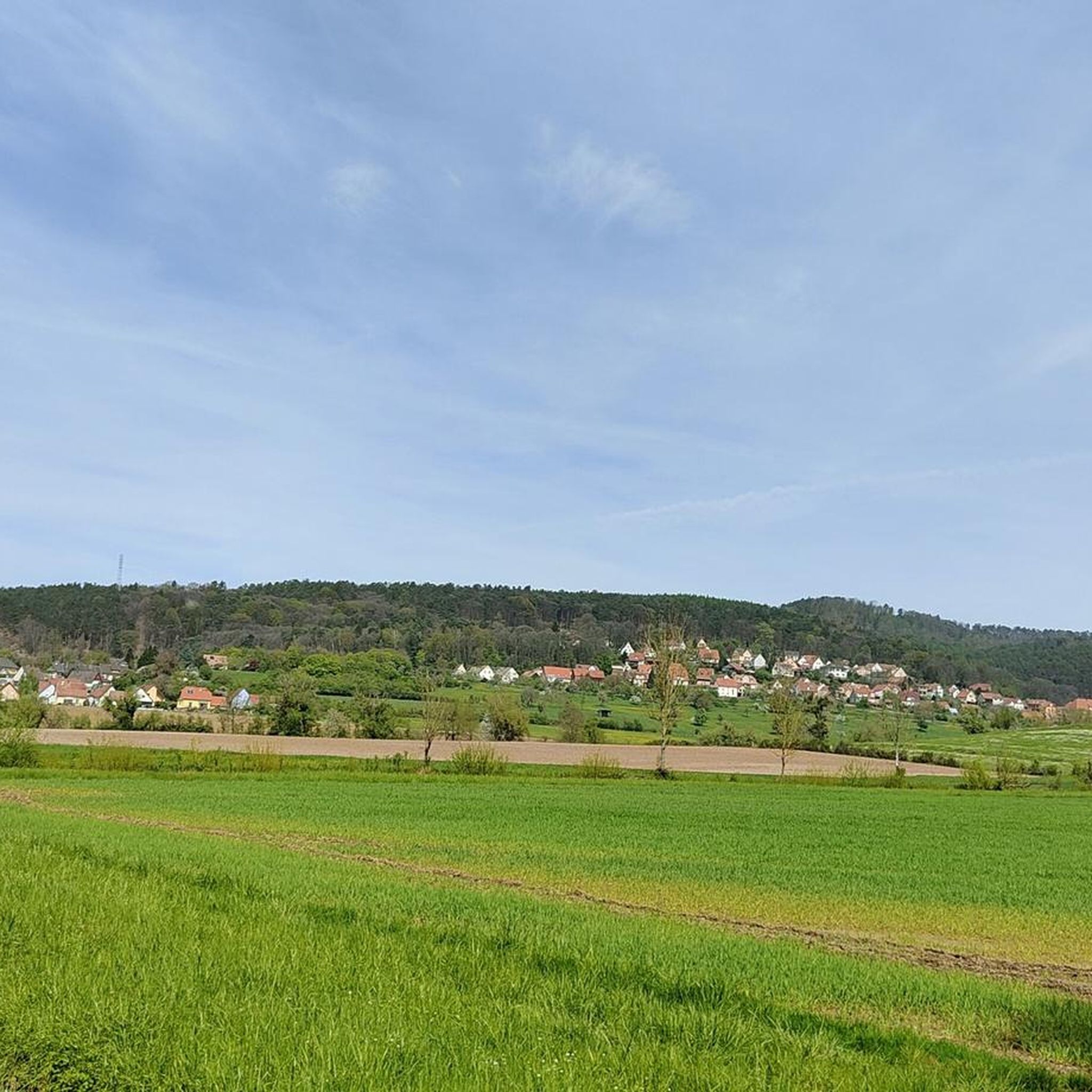
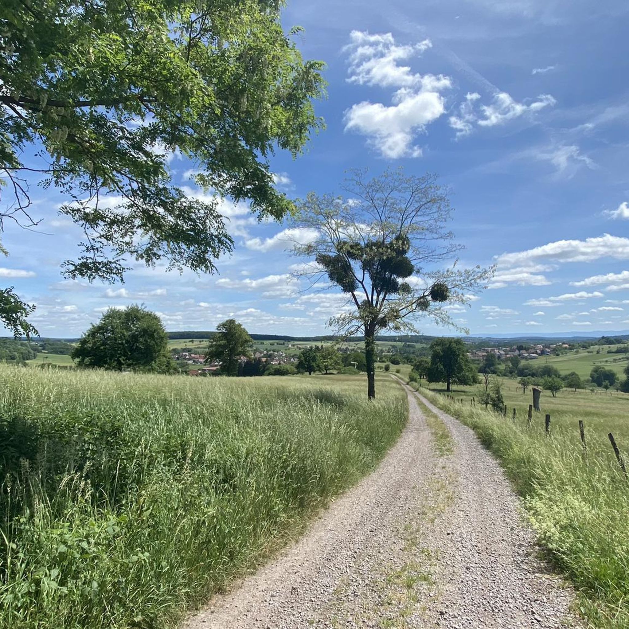
Hiking around Kindweiler offers diverse outdoor experiences within the Northern Vosges Regional Nature Park, a UNESCO Biosphere Reserve. The terrain features extensive forests of beech, oak, and Scots pine, alongside distinctive pink sandstone rock formations. Hikers will encounter undulating hills, clearings, tranquil ponds, and a network of streams, contributing to the region's ecological richness.
Best hiking trails around Kindweiler
- The most popular hiking route is The Winegrowers' Shelter – Geiersberg loop from Val-de-Moder, a 5.9 miles (9.4 km) trail…
Last updated: July 5, 2026
3.3
(4)
36
hikers
9.43km
02:37
170m
170m
Moderate hike. Good fitness required. Easily-accessible paths. Suitable for all skill levels.
5.0
(1)
37
hikers
9.67km
02:31
70m
70m
Moderate hike. Good fitness required. Easily-accessible paths. Suitable for all skill levels.

Sign up for free
4.7
(3)
14
hikers
5.30km
01:27
80m
80m
Easy hike. Great for any fitness level. Easily-accessible paths. Suitable for all skill levels.
19
hikers
7.85km
02:03
60m
60m
Moderate hike. Good fitness required. Easily-accessible paths. Suitable for all skill levels.
4.5
(2)
6
hikers
11.0km
03:01
180m
180m
Moderate hike. Good fitness required. Easily-accessible paths. Suitable for all skill levels.
Get access to more routes and recommendations from other explorers.
Sign up for free
Already have an account?
Our route recommendations are based on thousands of hikes, rides, and runs completed by other people on komoot.
Start today with a free account
Your next adventure awaits.
Login or Signup

Tips from the Community

In 1478, a church dedicated to Saint Maurice was built
3
0

Magnificent views, panoramic views and, in good weather, brilliant views.
2
0

The history of this statue is closely linked to that of the town. After the Second World War, Bitschhoffen was 95% destroyed and the villagers gathered the courage to rebuild everything. La Promesse, this bronze Alsatian weighing 270 kg and 2.20 m high, recalls this era and the desire of the inhabitants to “revive the village”.
2
1
Urban art or street art is both an artistic movement and a mode of artistic expression, which asserts itself or thus asserts itself from the end of the 20th century.
1
1
Frequently Asked Questions
How many hiking trails are available around Kindwiller?
There are over 190 hiking trails around Kindwiller, offering a wide range of options for different preferences and skill levels. The area is part of the Northern Vosges Regional Nature Park, a UNESCO World Biosphere Reserve, ensuring diverse and well-preserved natural landscapes.
What kind of terrain and natural features will I encounter on hikes around Kindwiller?
Hikes around Kindwiller feature extensive forests dominated by beech, oak, and Scots pine. You'll also discover distinctive pink sandstone rock formations, undulating hills, clearings, tranquil ponds, and a network of streams. This diverse landscape contributes to the region's rich ecological character.
Are there family-friendly hiking options around Kindwiller?
Yes, Kindwiller offers several easy hiking options suitable for families. For example, the The Winegrowers' Shelter loop from Val-de-Moder is an easy 3.3-mile (5.3 km) trail through forested hills, typically completed in about 1 hour 27 minutes. Another easy option is the Hiking loop from Uberach, which is 3.6 miles (5.8 km) long.
What historical landmarks or attractions can I see while hiking near Kindwiller?
The region around Kindwiller is rich in history. You can explore the ruins of Wasenbourg Castle, which offers scenic views from its tower, and nearby, the vestiges of a Roman sanctuary dedicated to Mercury at the Mercury Rock Temple. Some trails, like the Maginot Line mine cart loop from Uberach, also explore historical sites related to the Maginot Line.
Are there any circular hiking routes available?
Yes, many routes around Kindwiller are circular, allowing you to start and end at the same point. Popular options include the The Winegrowers' Shelter – Geiersberg loop from Val-de-Moder, a moderate 5.9-mile (9.4 km) trail, and the Hiking loop from Bitschhoffen, a moderate 5.0-mile (8.1 km) route.
What is the best time of year to go hiking in Kindwiller?
The Northern Vosges Regional Nature Park, where Kindwiller is located, offers beautiful hiking experiences throughout much of the year. Spring brings lush greenery and blooming flora, while autumn showcases vibrant fall foliage. Summer is ideal for longer days and warmer weather, though some trails can be enjoyed in winter, especially those at lower elevations, offering a different, tranquil perspective of the snow-dusted forests.
What do other hikers enjoy most about hiking in Kindwiller?
The area is highly rated by the komoot community, with an average score of 4.5 stars from over 700 reviews. Reviewers often praise the extensive and well-marked trail networks, the serene beauty of the forests, and the unique geological features like the pink sandstone rock formations. The variety of routes, from leisurely strolls to more challenging treks, is also frequently highlighted.
Are there challenging hikes for experienced trekkers?
While Kindwiller offers many easy and moderate trails, more challenging options are available, especially those that ascend to higher points within the Northern Vosges. Some routes, such as those leading towards the Grand Wintersberg (the highest point in the Northern Vosges Regional Nature Park), involve sporty ascents, descents, and technical passages, making them suitable for experienced hikers seeking a more demanding experience.
Where can I find more information about the Northern Vosges Regional Nature Park?
Kindwiller is situated within the Northern Vosges Regional Nature Park, a UNESCO World Biosphere Reserve. For more detailed information about the park's natural heritage, attractions, and conservation efforts, you can visit the official tourism website for Alsace: The Regional Nature Park of the Northern Vosges.
Is it possible to reach hiking trailheads using public transport in Kindwiller?
While specific public transport options to every trailhead may vary, Kindwiller and surrounding communes often have local bus services. For detailed information on routes and schedules to access specific trailheads, it's recommended to check local transport authority websites or apps for the Bas-Rhin department, as services can be limited, especially in rural areas.
Are there any specific viewpoints or scenic spots along the trails?
Many trails in the Kindwiller area offer scenic viewpoints, particularly from higher elevations or clearings within the forests. The tower of Wasenbourg Castle provides excellent panoramic views. Additionally, the undulating hills and diverse forest landscapes themselves offer picturesque vistas throughout your hike, especially during spring and autumn.
Most popular routes around Kindweiler
Most popular attractions around Kindweiler

Get inspired with the komoot mobile app


Explore more
Browse the best Hikes in other regions.
