The best walks and hikes around Stundweiler
4.6
(324)
1,385
hikers
114
hikes
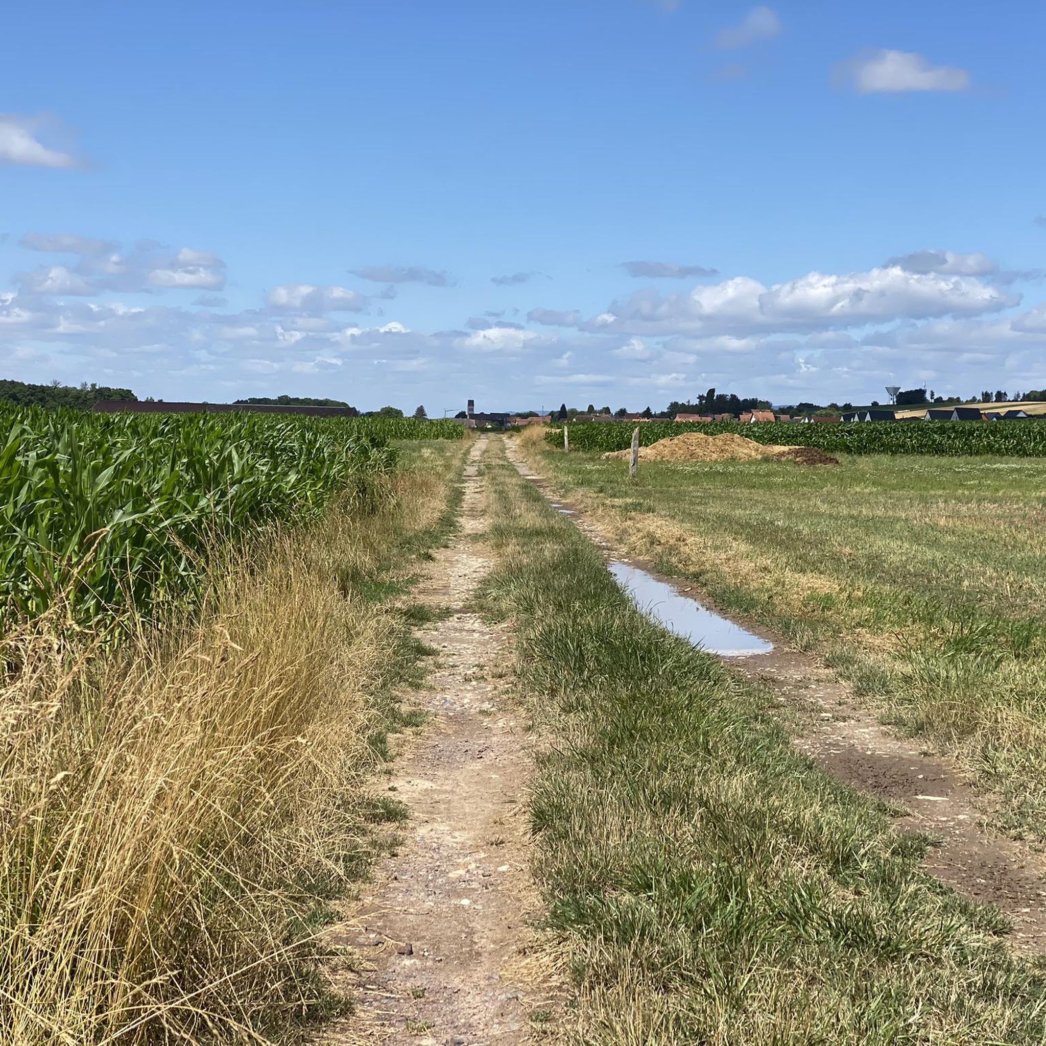
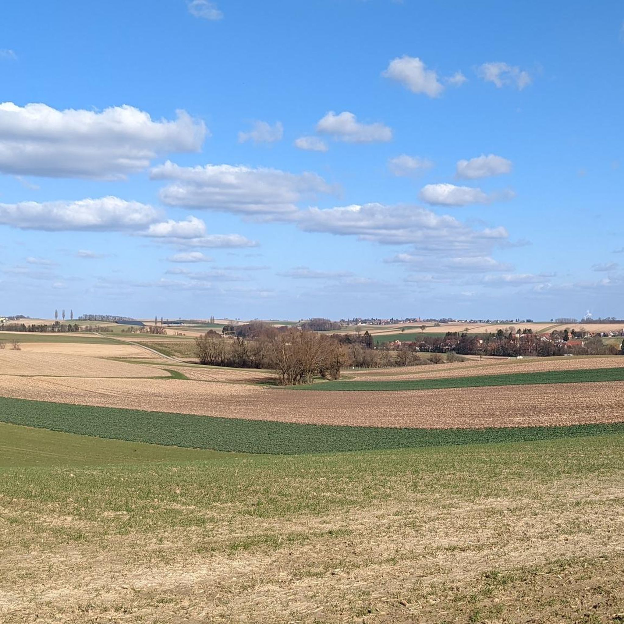
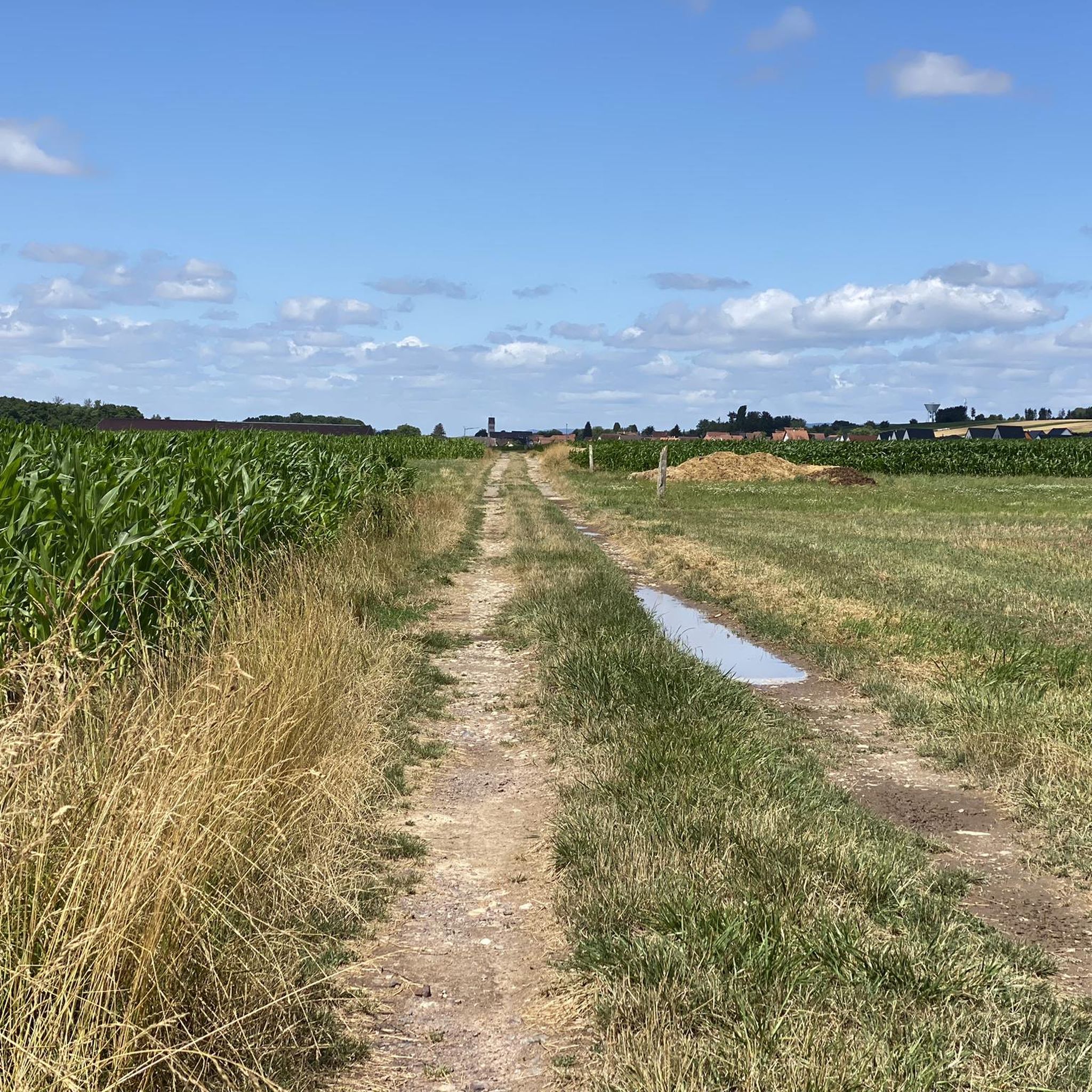
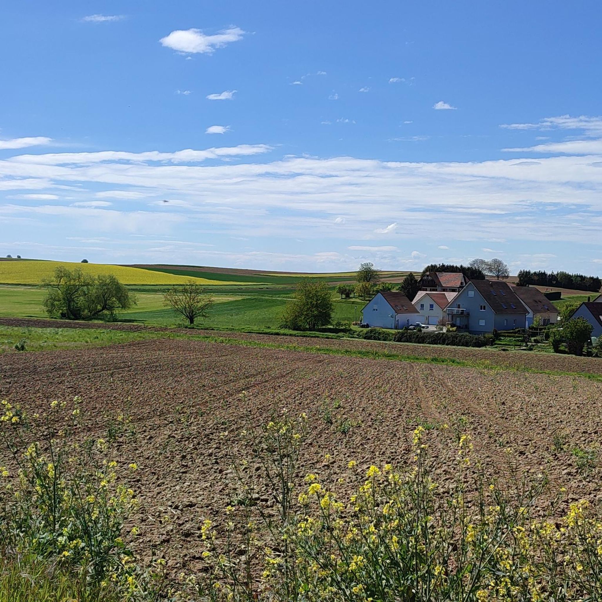
Hiking around Stundweiler offers routes through a landscape characterized by flat terrain, agricultural fields, and sections of woodland. The region features historical elements such as bunkers and casemates, reflecting its past. Elevation changes are generally minimal, making many trails accessible.
Best hiking trails around Stundweiler
- The most popular hiking route is The old barn loop from Seebach, an easy 2.0 miles (3.2 km) trail that takes about 50 minutes to complete. This route offers a gentle walk through the…
Last updated: October 9, 2026
4.3
(3)
10
hikers
11.0km
02:51
60m
60m
Moderate hike. Good fitness required. Easily-accessible paths. Suitable for all skill levels.
8
hikers
7.24km
01:51
20m
20m
Easy hike. Great for any fitness level. Easily-accessible paths. Suitable for all skill levels.

5.0
(2)
7
hikers
9.92km
02:31
30m
30m
Moderate hike. Good fitness required. Easily-accessible paths. Suitable for all skill levels.
3
hikers
11.1km
02:54
80m
80m
Moderate hike. Good fitness required. Easily-accessible paths. Suitable for all skill levels.
2
hikers
10.1km
02:39
90m
90m
Moderate hike. Good fitness required. Easily-accessible paths. Suitable for all skill levels.
Get access to more routes and recommendations from other explorers.
Already have an account?
Our route recommendations are based on thousands of hikes, rides, and runs completed by other people on komoot.
Start today with a free account
Your next adventure awaits.

Tips from the Community

Warfare technology without glorification of war, if you will. In the field, there is a mix of East and West. Tables and benches but there is nothing to eat, only coffee and draft beer. So bring your own food. Entrance 9€, museum pass is not accepted.
0
0

We bought excellent apple pie there. Lovely little shop and very friendly staff. Full recommendation
1
0

This bunker is accessible without danger.
1
0
This former Maginot Line bunker is open to the public every first Sunday of the month from June to September - or by appointment. Internet see www.casemate-rieffel.fr
2
0

only open in the morning. Closed Sundays and Mondays.
2
0

a very nice open-air museum. You can get into the bunker for a small entrance fee, but only on Saturdays and Sundays.
2
0

OPENING HOURS In March : Friday to Sunday from 10am to 6pm In April: Thursday to Sunday and public holidays from 10 a.m. to 6 p.m From May to September from Tuesday to Sunday and public holidays from 10am to 6pm From October to November 11th from Thursday to Sunday from 10am to 6pm https://www.abrihatten.fr/
1
0

Small museum on the subject of the Maginot Line, very nicely done, there is a lot to discover!
2
0
Frequently Asked Questions
How many hiking trails are available in Stundweiler?
There are over 100 hiking routes available around Stundweiler, offering a wide variety of options for different skill levels and preferences. You'll find everything from easy strolls to more moderate excursions.
What is the general terrain like for hiking around Stundweiler?
The landscape around Stundweiler is characterized by mostly flat terrain, agricultural fields, and sections of woodland. Elevation changes are generally minimal, making many trails accessible and enjoyable for a relaxed walk.
Are there easy hiking trails suitable for beginners or casual walkers?
Yes, Stundweiler offers a good selection of easy trails. Nearly half of the routes are classified as easy. For a gentle introduction, consider The old barn loop from Seebach, which is an easy 2.0-mile (3.2 km) path.
Are there any challenging hikes in Stundweiler for experienced hikers?
While the region is generally known for its flatter terrain, there are a few routes that offer a bit more challenge. There are 3 trails classified as difficult, and 52 moderate routes, which often involve longer distances or slightly more varied ground. For a moderate option, try the Minzbrueck Bakery – EBERBACH loop from Trimbach, which covers over 6 miles.
Are there circular walks available in Stundweiler?
Yes, many of the hiking routes around Stundweiler are designed as circular loops, allowing you to start and end at the same point. Examples include the popular Bunker in the forest loop from Stundwiller and the Casemate Rieffel loop from Oberrœdern.
What kind of historical sites can I see along the hiking trails?
Stundweiler's trails often lead through areas with historical significance, particularly related to past conflicts. You can explore elements like bunkers and casemates. The Maginot Museum, Hatten – Esch Casemate loop from Hatten is a great example, taking you past historical sites.
Are there any family-friendly hiking options in Stundweiler?
Given the generally flat terrain and numerous easy routes, many trails around Stundweiler are suitable for families. The shorter, easy loops like The old barn loop from Seebach are ideal for walks with children.
What do other hikers enjoy most about the trails in Stundweiler?
The trails in Stundweiler are highly rated by the komoot community, with an average score of 4.6 stars from over 260 reviews. Hikers often praise the quiet woodlands, the historical points of interest like bunkers and casemates, and the well-maintained paths that make for enjoyable walks.
Are there any nearby attractions or points of interest to explore besides hiking?
Yes, beyond the hiking trails, the region offers several points of interest. You can explore cycling paths like the Pamina Cycle Path: Wissembourg–Schleithal or the Rhine Cycle Route at Beinheim. There's also the Bienwaldmühle (modern grain mill), which is a notable man-made monument.
What is the best time of year to go hiking in Stundweiler?
Stundweiler's trails, with their flat terrain and woodland sections, are generally enjoyable throughout much of the year. Spring and autumn offer pleasant temperatures and beautiful scenery, while summer provides lush green landscapes. Even in winter, the minimal elevation changes can make for accessible walks, though conditions should always be checked.
Are there any trails with viewpoints or scenic overlooks?
While Stundweiler is characterized by its flat terrain, the trails often pass through scenic woodlands and open agricultural fields, offering pleasant views of the rural landscape. For specific panoramic viewpoints, you might need to explore the slightly more elevated sections of the moderate trails.
Are the hiking trails around Stundweiler dog-friendly?
Many of the trails in Stundweiler, especially those through woodlands and open fields, are suitable for walking with dogs. It's always recommended to keep dogs on a leash, especially near agricultural areas or historical sites, and to follow local regulations regarding pets.
Most popular routes around Stundweiler
Most popular attractions around Stundweiler

Get inspired with the komoot mobile app


Explore more
Browse the best Hikes in other regions.
