Top 6 Mountain Passes around Weißenburg
Best mountain passes around Weißenburg in Bayern are found in Middle Franconia, a region characterized by rolling hills, dense forests, and its location within the Franconian Alb and Altmühltal Nature Park. The area features elevated routes and scenic viewpoints that offer varied terrain for outdoor activities. These routes provide diverse landscapes and historical sites for hikers and cyclists.
Best mountain passes around Weißenburg
- The most popular mountain passes is Col du Pigeonnier, a mountain pass that forms the transition…
Last updated: June 26, 2026
Col de Hohenbourg
Highlight • Mountain Pass
Translated by Google •
Tip by

Col du Pigeonnier
Highlight • Mountain Pass
You can also spend the night here.
Translated by Google •
Tip by

Sign up now to discover places like this
Get recommendations on the best single tracks, peaks, & plenty of other exciting outdoor places.
Sign up for free
Pfaffenschlick Pass
Highlight • Mountain Pass
Translated by Google •
Tip by

Litschhof Pass
Highlight • Mountain Pass
Translated by Google •
Tip by

Pigeonnier Pass
Highlight (Segment) • Mountain Pass
Translated by Google •
Tip by
Sign up for free to discover even more mountain passes around Weißenburg.
Sign up for free
Already have an account?
Start today with a free account
Your next adventure awaits.
Login or Signup
Popular around Weißenburg
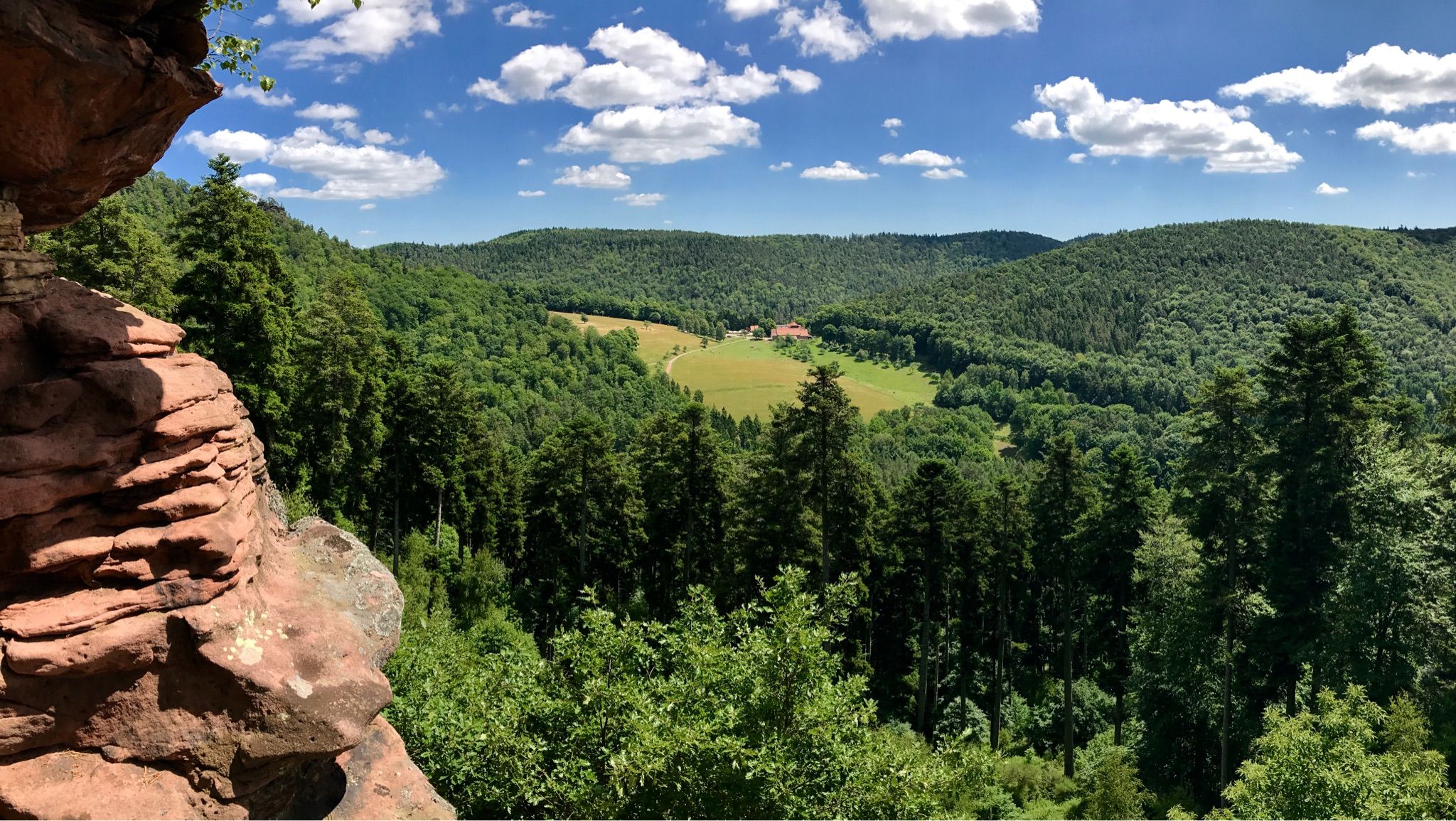
Hike the GR 53 – Explore castles along the Franco-German border
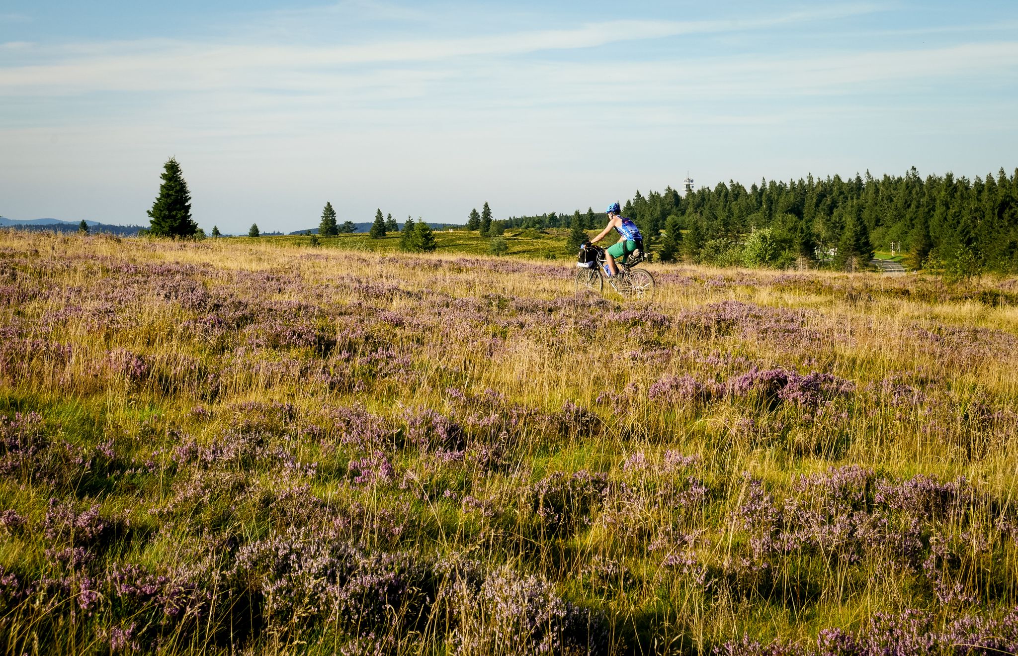
Traversée du Massif Vosgien — Alsace bikepacking
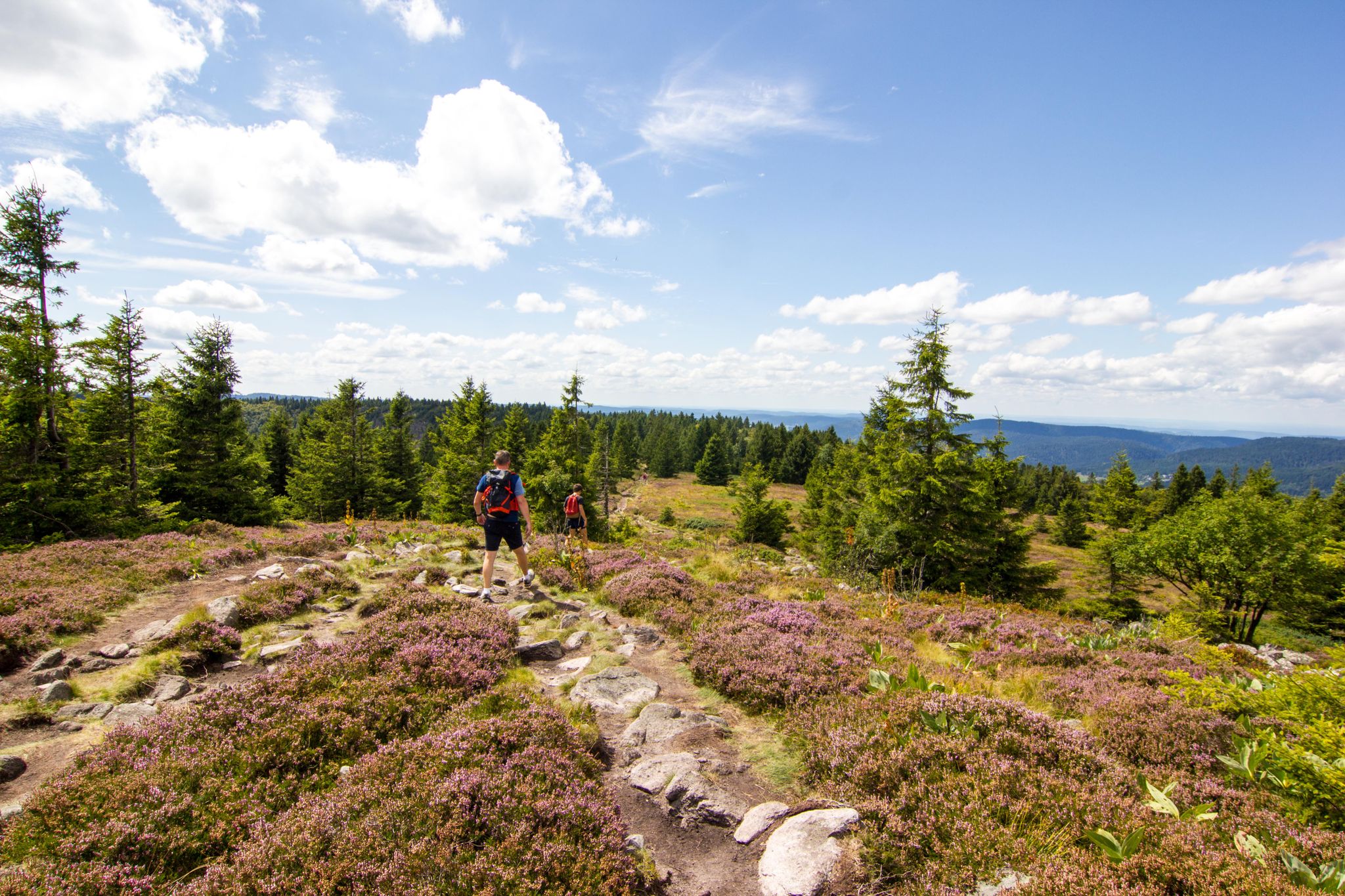
Hiking and relaxation – wellbeing on the Traversée des Vosges
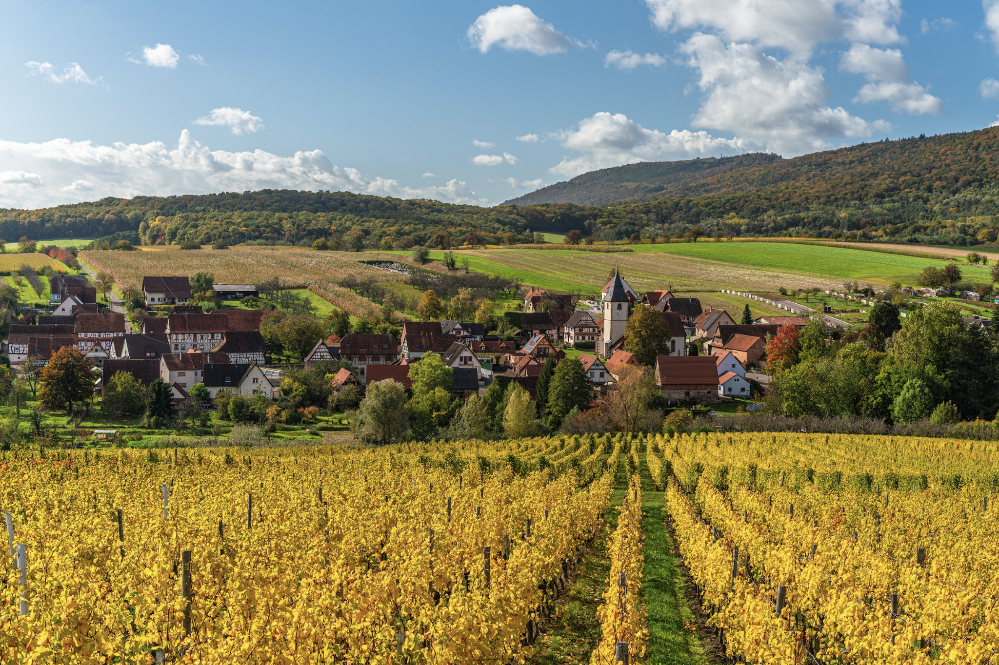
Alsace Verte on foot – hikes between history and vineyards

Cycling in Southern Palatinate – Karlsruhe to Zweibrücken

From the Vosges to the Jura mountains – Hexatrek, le Grand Est
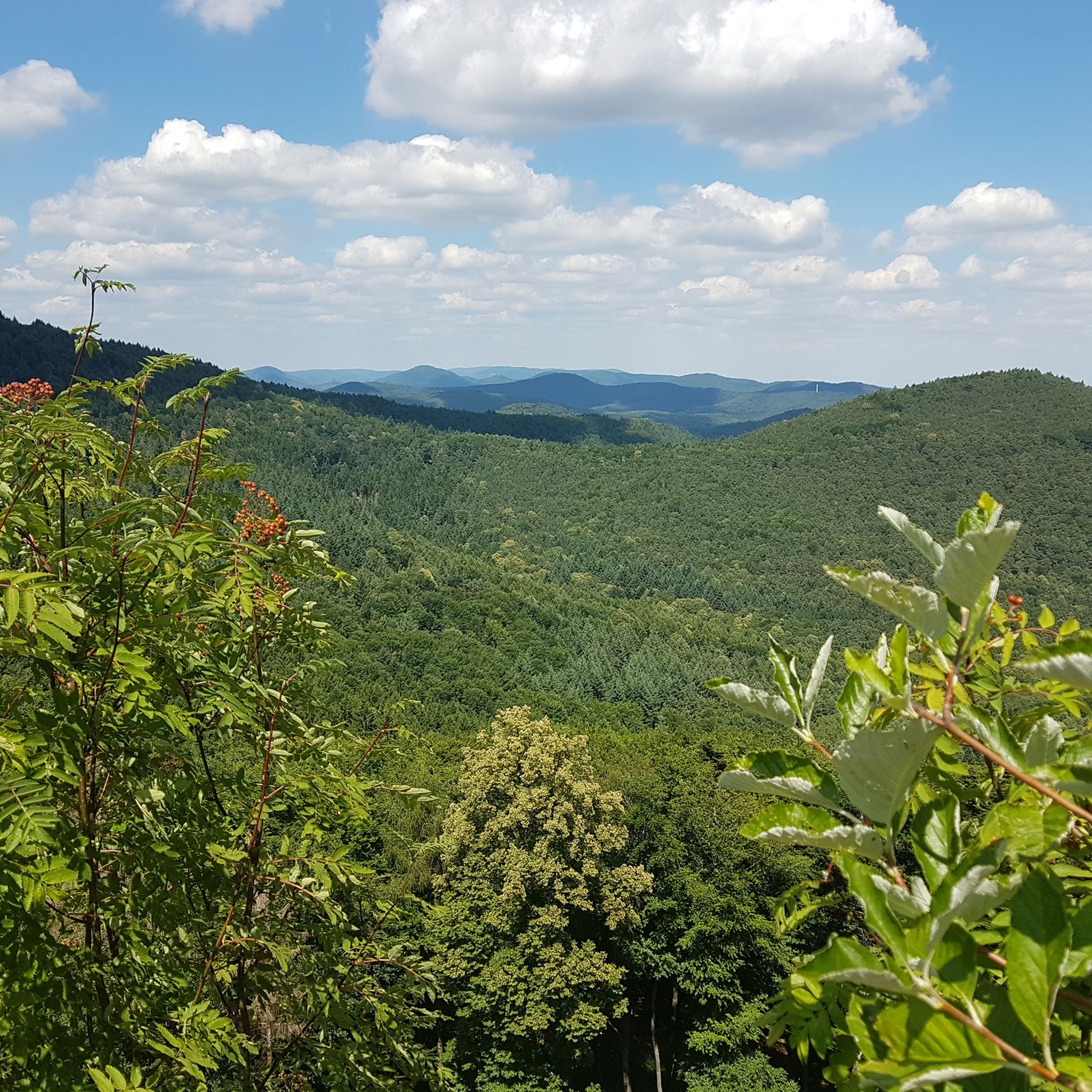
Hiking around Weißenburg
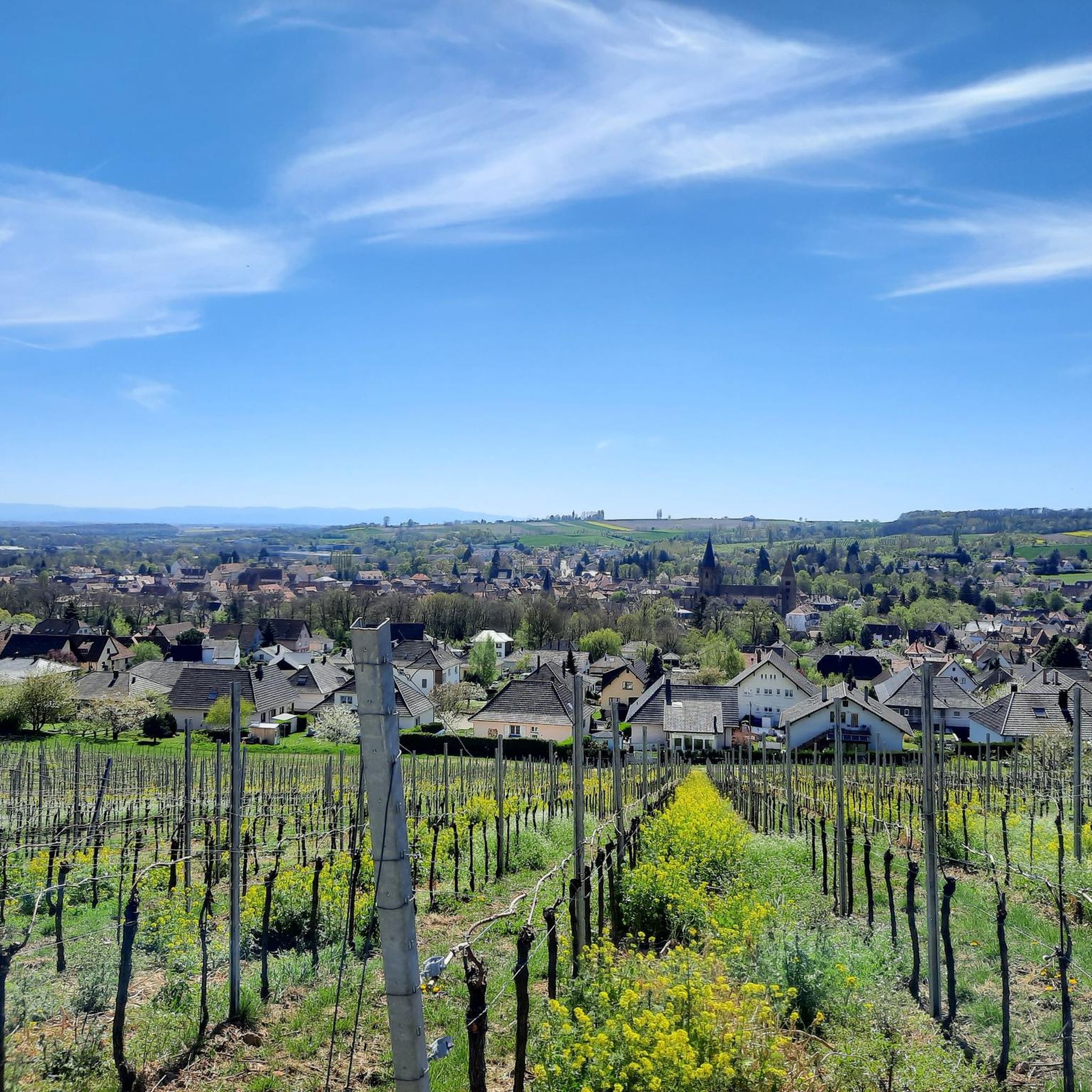
Cycling around Weißenburg
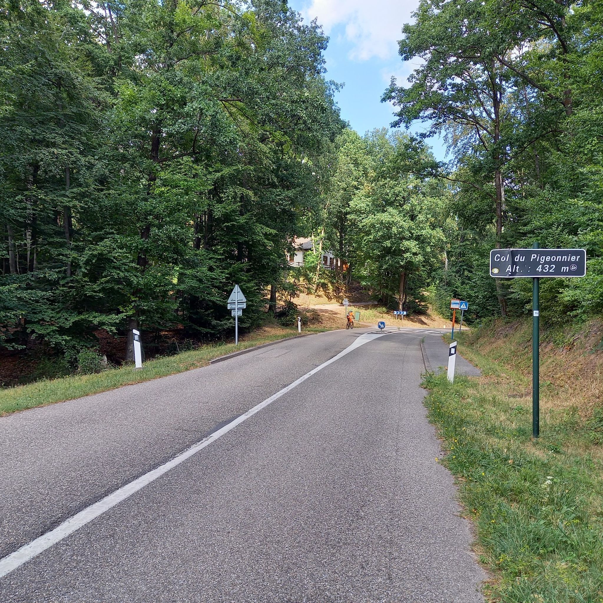
Road Cycling Routes around Weißenburg
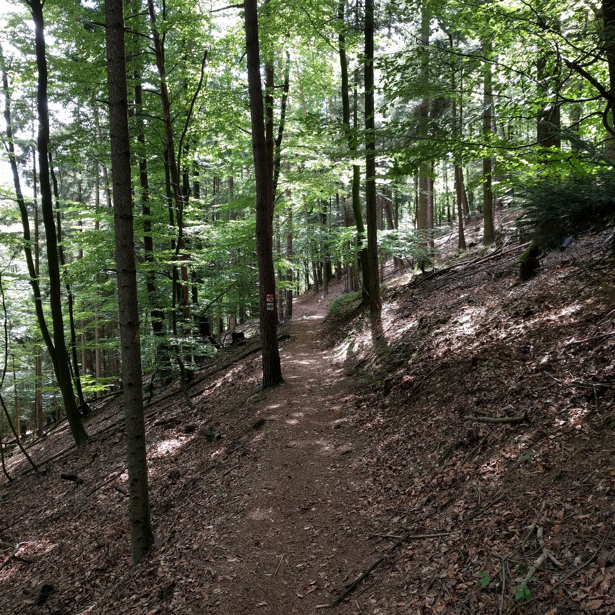
MTB Trails around Weißenburg
Other adventures around Weißenburg


Tips from the Community

The Col du Litschhof (337 m) has always been a path and watershed between - the Sauertal and the valley of Nothweiler - the Lauter (flowing NE) and the Sauer (flowing SW) - the castles Fleckenstein, Wegelnburg, Löwenstein, Hohenburg - the hiking and forest paths of the Vogesenclub and the Pfälzerwald-Verein" Source (literally quoted): Information board on site (in French and German)
1
0

Crossroads where several hiking trails meet and, for example, paths to the Château de Hohenbourg or Château de Fleckenstein lead over a rocky path.
4
0

Well marked and intersection of several paths
0
0

At the crossroads on the hilltop, several paths come together.
3
0

low traffic and very good asphalt
1
0

The track has a beautiful course and a good road surface. The curves are also very popular with motorcyclists.
2
0

It's not the most spectacular pass but it has been well laid out. So, you can find parking, a well-maintained shelter and picnic tables. The Litschhof forest house, which offers the accommodation, is a few steps away.
3
0

The gradients are really moderate and easy to drive. There is little traffic and a real idyll.
2
0
Frequently Asked Questions
What kind of natural beauty and views can I expect on the elevated routes around Weißenburg?
The region around Weißenburg in Bayern, situated within the Franconian Alb and Altmühltal Nature Park, offers rolling hills, dense forests, and picturesque valleys. Elevated routes like the Altmühltal Panorama Trail provide spectacular views of the surrounding landscape, while areas such as Col de Hohenbourg and Wülzburg offer exceptional panoramic views of the town and countryside.
Do these routes offer historical sites and cultural experiences?
Yes, the area is rich in history. The Limes Hiking Trail follows the UNESCO World Heritage Site "Upper Germanic-Raetian Limes," featuring Roman border fortifications. The Imperial City Trail connects Weißenburg with Pappenheim, passing a Roman fountain, the "Alte Bürg," and the impressive Wülzburg fortress. Pfaffenschlick Pass is surrounded by several bunkers on the Maginot Line, and from Col de Hohenbourg, it's a short walk to the ruins of Hohenbourg and Löwenstein.
What outdoor activities can I do near these elevated routes?
The region offers diverse opportunities for outdoor activities. You can explore various hiking trails, including those that traverse hilly terrain and historical paths. For cyclists, there are numerous routes for touring bicycles, such as those detailed in the Cycling around Weißenburg guide. Mountain biking enthusiasts can find challenging trails, with options available in the MTB Trails around Weißenburg guide. Running trails are also popular, as highlighted in the Running Trails around Weißenburg guide.
Are there specific hiking trails associated with these elevated areas?
Yes, several notable trails traverse these elevated areas. The Altmühltal Panorama Trail offers diverse flora and fauna. The Limes Hiking Trail combines historical exploration with scenic hiking. The Imperial City Trail connects Weißenburg with Pappenheim, intersecting with other significant routes like the Franconian Trail and Altmühl Panorama Trail. The ascent to Wülzburg also provides a rewarding hiking experience with panoramic views.
How challenging are the routes around Weißenburg's elevated areas?
The routes around Weißenburg cater to various fitness levels, from leisurely walks to more strenuous excursions. For example, the Pfaffenschlick Pass has an average gradient of 4.3% over 5 km, with maximum gradients of 12.7%, making it an intermediate challenge. Many paths, like those near Col de Hohenbourg, are described as easy to walk, suitable for a wide range of hikers.
Are the elevated routes and areas around Weißenburg suitable for families?
Many of the routes and elevated areas around Weißenburg are suitable for families. The Altmühltal Panorama Trail is well-signposted and suitable for various hiking levels, making it accessible. Areas like Col du Pigeonnier are noted as family-friendly, often featuring amenities like chalets open on weekends and public holidays, which can be a pleasant stop for families.
Can I bring my dog on these trails?
While specific regulations for dogs vary by trail and protected areas, generally, many outdoor trails in the region are dog-friendly. It's always recommended to keep dogs on a leash, especially in nature reserves or areas with wildlife, and to clean up after them. There are no explicit restrictions mentioned for the highlighted passes, but checking local signage is always a good idea.
What is the best time of year to visit the elevated routes around Weißenburg?
The region is beautiful throughout the year, but the best time to visit for hiking and cycling is typically from spring to autumn (April to October) when the weather is milder and the trails are most accessible. Spring brings blooming flora, while autumn offers vibrant fall colors. Summer is also popular, but trails can be busier. Winter can offer unique snowy landscapes, but some routes might be more challenging due to ice or snow.
Are there facilities like parking or places to eat near these elevated routes?
Yes, several locations offer facilities. Col du Pigeonnier has a chalet open on Sundays and public holidays, offering food and even overnight stays. Pfaffenschlick Pass also has parking and a restaurant nearby. Litschhof Pass provides a hiking parking lot, a well-maintained shelter, and picnic tables, with a forest house nearby offering accommodation.
What do visitors enjoy most about the elevated routes around Weißenburg?
Visitors frequently appreciate the combination of natural beauty, historical significance, and panoramic views. The well-laid-out paths, like those near Litschhof Pass, and the impressive historical sites, such as the Wülzburg fortress or the Maginot Line bunkers near Pfaffenschlick Pass, are highly rated. The friendly atmosphere and amenities at places like the chalet at Col du Pigeonnier also contribute to a positive experience.
Are there any circular hikes available in the Weißenburg mountain region?
While specific circular hikes for each 'pass' are not detailed, the region is well-suited for creating circular routes by combining various trails. For instance, the Imperial City Trail intersects with other significant routes, allowing for diverse loop options. Many of the nearby cycling, MTB, and running routes listed in the komoot guides are also designed as loops, offering varied terrain and scenic viewpoints.
Most popular routes around Weißenburg
Most popular attractions around Weißenburg

Get inspired with the komoot mobile app


Explore more
See even more epic mountain passes by checking out these guides around Weißenburg:
