The best walks and hikes around Bettainvillers
4.6
(289)
1,095
hikers
65
hikes
Hiking around Bettainvillers offers access to diverse landscapes within the Meurthe-et-Moselle department. The region features deep woods, riverside paths along the Moselle River, and elevated areas providing varied terrain. These natural features, including forested hillsides, characterize the hiking experience in the area.
Best hiking trails around Bettainvillers
- The most popular hiking route is Small cabin – Plan d'Eau de la Sangsue loop from Mance, a 6.3 miles (10.2 km) trail that takes 2 hours 48 minutes to complete. This…
Last updated: July 19, 2026
4.7
(19)
111
hikers
7.82km
02:06
90m
90m
Moderate hike. Good fitness required. Easily-accessible paths. Suitable for all skill levels.
5.0
(1)
14
hikers
9.70km
02:32
70m
70m
Moderate hike. Good fitness required. Easily-accessible paths. Suitable for all skill levels.

Sign up for free
6
hikers
6.94km
01:50
60m
60m
Easy hike. Great for any fitness level. Easily-accessible paths. Suitable for all skill levels.
4
hikers
12.8km
03:23
110m
110m
Moderate hike. Good fitness required. Easily-accessible paths. Suitable for all skill levels.
6
hikers
9.58km
02:30
60m
60m
Moderate hike. Good fitness required. Easily-accessible paths. Suitable for all skill levels.
Get access to more routes and recommendations from other explorers.
Sign up for free
Already have an account?
Our route recommendations are based on thousands of hikes, rides, and runs completed by other people on komoot.
Start today with a free account
Your next adventure awaits.
Login or Signup
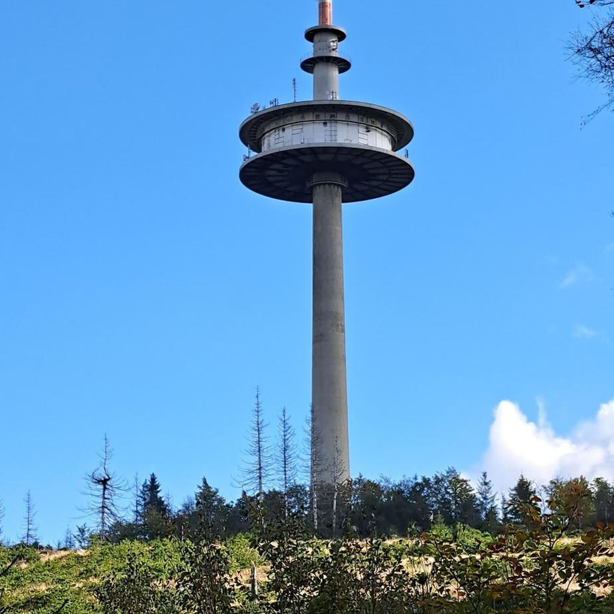

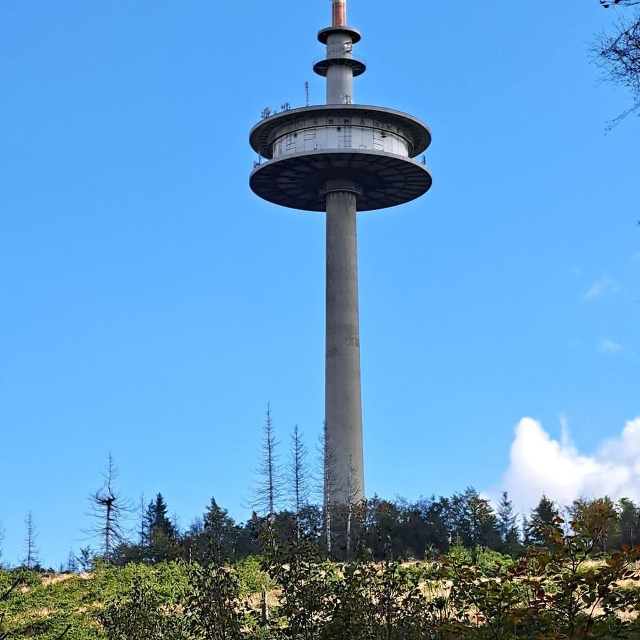
Tips from the Community

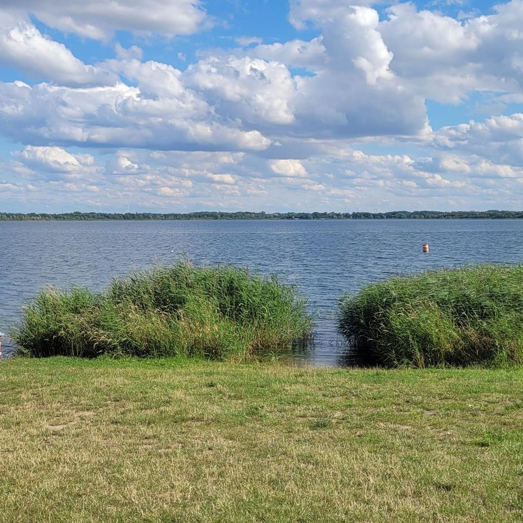
💧 Plan d'Eau de la Sangsue – Small Natural Lake Tucked away in the countryside lies the Plan d'Eau de la Sangsue, a small natural lake with wild shoreline vegetation, calm waters, and a natural charm. While its name ("Leech Pond") is unusual, the body of water is a peaceful spot for walkers, nature lovers, and birdwatchers. 🌿 Surrounded by forest and meadows, the pond is a refuge for amphibians, insects, and waterfowl. A narrow path leads along the shore – ideal for a quiet break in nature. Tip: Particularly beautiful in spring or when there is light fog – then the pond appears almost mystical. Perfect for a quiet rest off the beaten track.
0
0
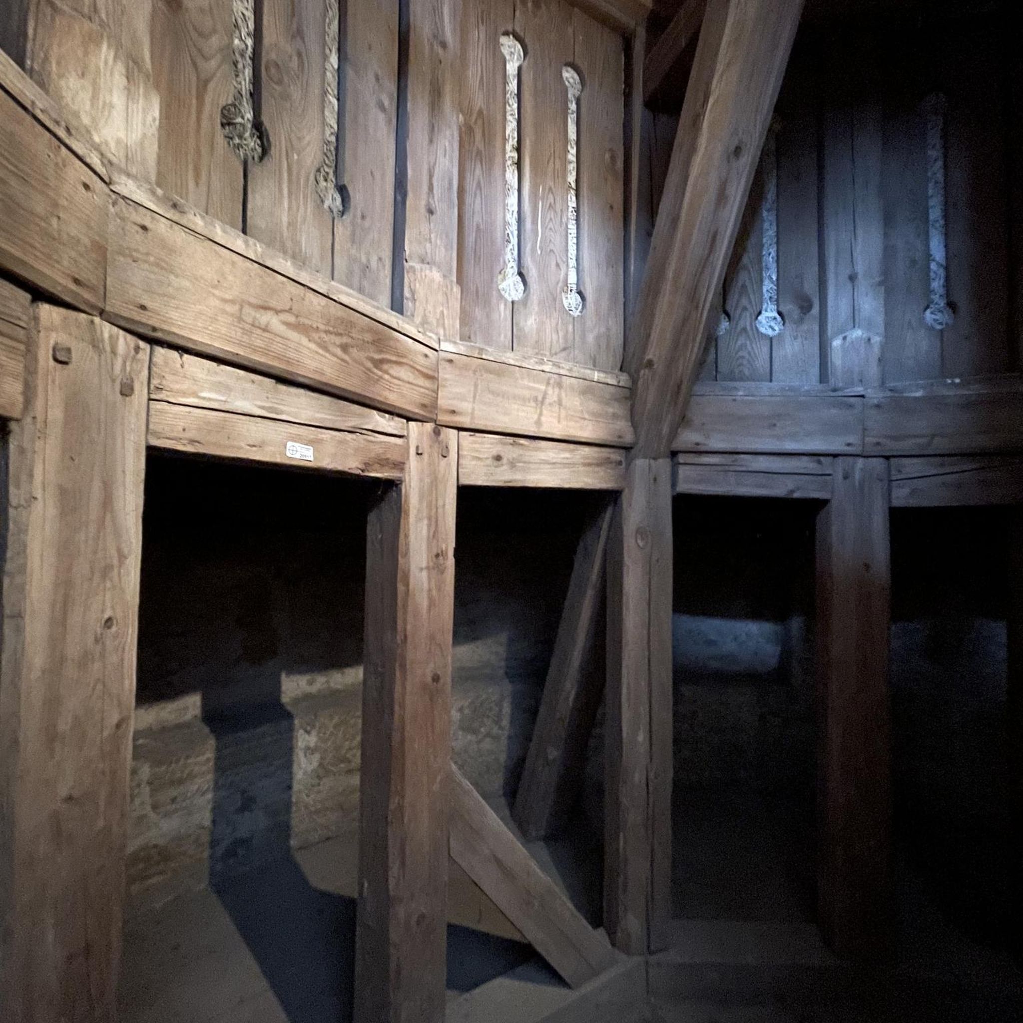
⛪ **Église Saint-Martin de Mance – A Charming Village Church** The church of Mance, a small village northwest of Thionville, dates back to the 18th century and has been renovated several times. It is dedicated to Saint Martin, like many Lorraine village churches, and displays typical features of rural religious architecture: simple lines, a rectangular tower, and a lovingly maintained setting. 🕊️ Inside, you'll find colorful windows, simple furnishings, and a serene atmosphere – a place of tranquility in the heart of the village. **Tip:** If you're hiking or cycling through Mance, be sure to take a quick look inside – it's especially beautiful in the early evening hours with a view of the tower bathed in warm light.
0
0

Very beautiful pond with a lot of activities for children (playground and outdoor activity park)
0
0

Great body of water in the early morning
1
0
Briey lake for a 2.5km tour, it is an ideal place for a walk, a run, and joining the greenway or forest paths in the surrounding area. ' It has a children's play park.
0
0
Frequently Asked Questions
How many hiking trails are available around Bettainvillers?
There are over 70 hiking trails around Bettainvillers, offering a wide variety of options for different skill levels. You'll find 27 easy routes, 40 moderate trails, and 4 more challenging options to explore the diverse landscapes of the Meurthe-et-Moselle department.
What kind of landscapes can I expect to see while hiking near Bettainvillers?
Hiking near Bettainvillers offers diverse landscapes, including deep woods, tranquil riverside paths along the Moselle River, and elevated areas that provide panoramic views. The region is characterized by its green, forested hillsides and varied terrain, typical of the Moselle and Lorraine regions.
Are there any family-friendly hiking options in Bettainvillers?
Yes, Bettainvillers offers several family-friendly hiking options, particularly among the 27 easy routes available. These trails are generally shorter and have less elevation gain, making them suitable for families with children. Many routes explore local countryside and natural features like the Plan d'Eau de la Sangsue, providing engaging scenery for all ages.
Can I bring my dog on the hiking trails around Bettainvillers?
Many trails around Bettainvillers are suitable for dog walking. The region's natural environment, with its woods and open paths, provides ample space for dogs. While specific leash rules can vary, it's generally recommended to keep dogs on a leash, especially in areas with wildlife or near agricultural land, to ensure their safety and respect for other hikers and local regulations.
What interesting landmarks or natural features can I discover on a hike?
While hiking around Bettainvillers, you can discover several interesting landmarks and natural features. The Plan d'Eau de la Sangsue is a prominent natural highlight, often featured in local loops. You might also encounter historical sites like the Church of Mance, or explore unique spots such as the Fond de la Noue trail and an Entrance to the old mining tunnel, adding historical context to your outdoor adventure.
Are there any circular walks available near Bettainvillers?
Yes, many of the hiking routes around Bettainvillers are circular, allowing you to start and end your journey in the same location. For example, the Church of Mance loop from Mancieulles is a moderate 8.2 km trail that takes you through local villages and green spaces, offering a convenient and scenic circular experience.
What do other hikers say about the trails in Bettainvillers?
The hiking trails around Bettainvillers are highly regarded by the komoot community, with an average rating of 4.6 out of 5 stars from over 150 reviews. Hikers often praise the diverse terrain, from deep woods to riverside paths, and the well-maintained routes that cater to various ability levels. Many appreciate the natural beauty and tranquility of the area.
Are there any routes that offer views of the Plan d'Eau de la Sangsue?
Yes, several routes provide excellent views of the Plan d'Eau de la Sangsue. A popular choice is the Plan d'Eau de la Sangsue – Small cabin loop from Mancieulles, a moderate 11.6 km path that offers scenic vistas of the lake and its surrounding woodlands.
Where can I find parking for hiking trails in Bettainvillers?
Parking availability varies by trailhead. For routes like the Small cabin – Plan d'Eau de la Sangsue loop from Mance, you can typically find parking in or near the starting villages such as Mance or Mancieulles. It's advisable to check specific route details on komoot for recommended parking spots or local signage upon arrival.
Are there any longer, more challenging routes for experienced hikers?
While most routes are moderate, Bettainvillers does offer some longer options for experienced hikers. For instance, the Church of Mance – Small cabin loop from Mancieulles is a moderate 12.8 km trail that provides a more extended hiking experience through varied terrain. There are also 4 routes classified as difficult for those seeking a greater challenge.
What is the best time of year to go hiking in Bettainvillers?
The region around Bettainvillers is enjoyable for hiking throughout much of the year. Spring and autumn offer pleasant temperatures and vibrant natural colors, making them ideal. Summer is also popular, though some routes might be warmer. Winter hiking is possible, but conditions can vary, so checking local weather is always recommended.
Are there any trails that explore the area around Briey?
Yes, you can find trails that extend towards the Briey area. The Hiking Trail in Briey – Chemin des Fées loop from Bettainvillers is a moderate 9.5 km route that allows you to explore the landscapes connecting Bettainvillers with the Briey vicinity, offering a different perspective of the local environment.
Most popular routes around Bettainvillers
Most popular attractions around Bettainvillers

Get inspired with the komoot mobile app


Explore more
Browse the best Hikes in other regions.
