The best MTB trails around Martigné-Sur-Mayenne
4.4
(74)
562
riders
65
rides
Mountain biking around Martigné-Sur-Mayenne offers diverse landscapes characterized by rolling hills, dense forests, and serene river valleys. The region features the Mayenne River with its extensive towpaths, providing flat, traffic-free routes suitable for cycling. Riders can explore varied topography, from riverside paths to more challenging climbs in the surrounding areas. This makes Martigné-Sur-Mayenne an excellent base for exploring the outdoor offerings of the wider Mayenne department.
Best mountain bike trails around Martigné-Sur-Mayenne
- The most popular mountain bike trail is Port…
Last updated: July 4, 2026
4.5
(2)
50
riders
57.7km
03:36
410m
410m
Moderate mountain bike ride. Good fitness required. Suitable for all skill levels.
4.1
(8)
38
riders
36.6km
02:15
230m
230m
Moderate mountain bike ride. Good fitness required. Advanced riding skills necessary.

Sign up for free
5.0
(2)
3
riders
Easy mountain bike ride. Great for any fitness level. Suitable for all skill levels.
5.0
(1)
6
riders
46.1km
03:18
480m
480m
Moderate mountain bike ride. Good fitness required. Advanced riding skills necessary.
5.0
(2)
4
riders
33.9km
02:11
260m
260m
Moderate mountain bike ride. Good fitness required. Suitable for all skill levels.
Get access to more routes and recommendations from other explorers.
Sign up for free
Already have an account?
Our route recommendations are based on thousands of hikes, rides, and runs completed by other people on komoot.
Start today with a free account
Your next adventure awaits.
Login or Signup

Tips from the Community


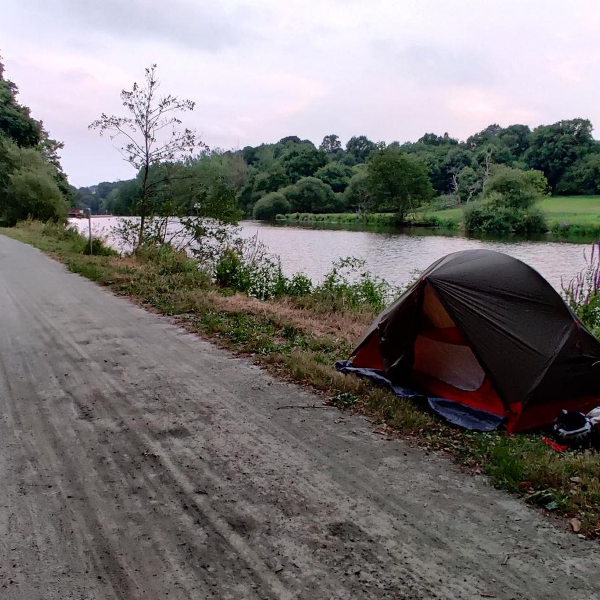
superb greenway along the Mayenne
0
0

To add a little fun to your hike, these stepping stones are just the thing.
3
0
This lake on the banks of the Mayenne is a fantastic place for hiking. You will find hiking trails all around the lake itself and for more interest you can look for the ardens where you will find a vegetable patch.
3
0

Laval is a city of art and history of nearly 50,000 inhabitants. It is crossed by the Mayenne and houses the Museum of Naive Art and Singular Arts.
3
0

Very nice pleasant course along the Mayenne
0
0

Nice footpath by the lake with a vegetable garden.
1
0
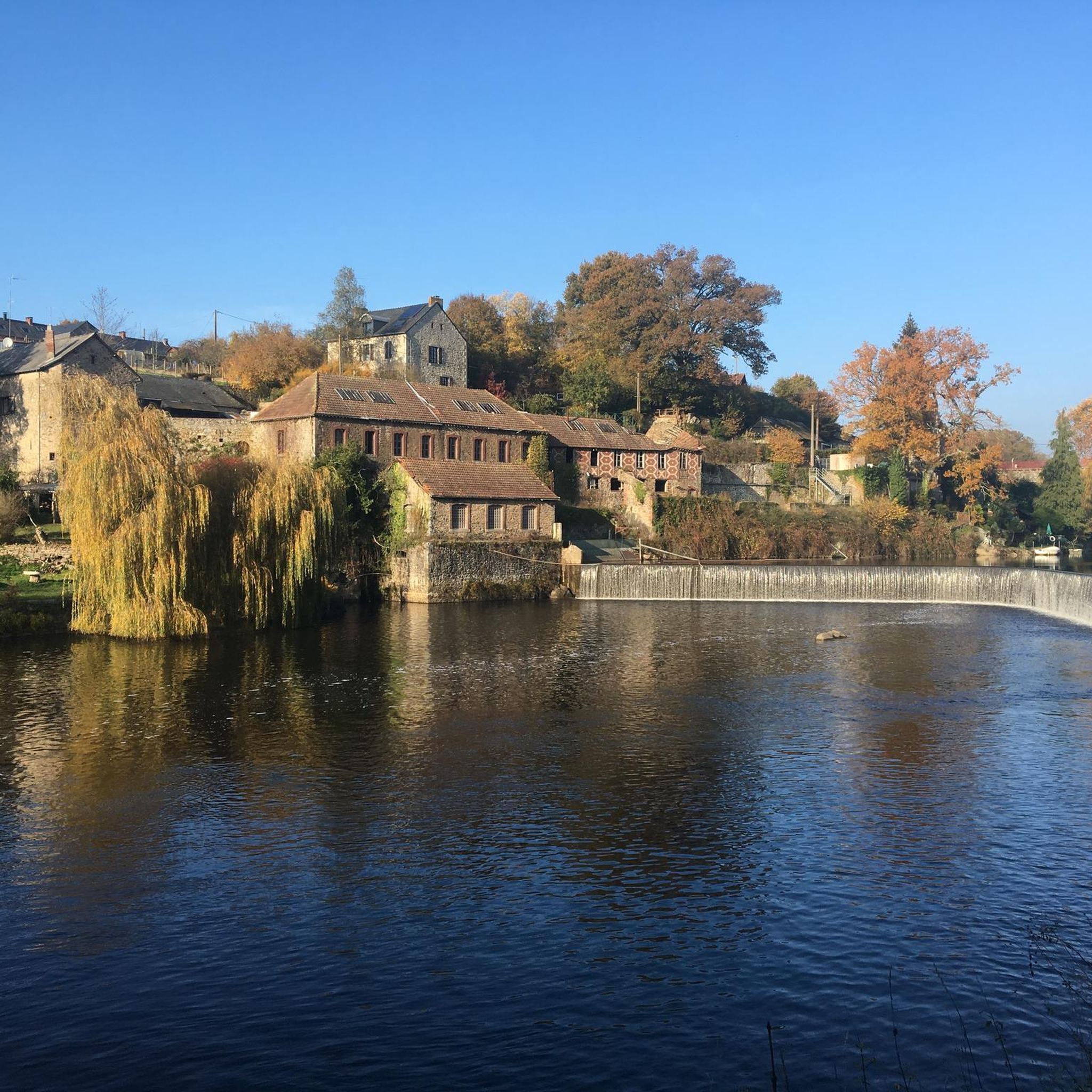
In 1399, the chaussée de Belle-Poule ensured the operation of a mill located on the right bank of the Mayenne. In 1834, a second mill was built on the left bank. The canalization of the Mayenne led to their destruction. A lock and new dam project was drawn up in 1847 by engineer Leblanc and then taken up in 1850 by engineer E. Caillaux. The works were completed in 1853 1399 sicherte die Chaussée de Belle-Poule den Betrieb einer Mühle am rechten Ufer der Mayenne. 1834 wurde am linken Ufer eine zweite Mühle gebaut. Die Kanalisierung der Mayenne führte zu ihrer Zerstörung. Ein Schleusen- und neues Dammprojekt wurde 1847 von Ingenieur Leblanc entworfen und 1850 von Ingenieur E. Cailaux in Angriff genommen. Die Arbeiten wurden 1853 abgeschlossen.
0
0
Frequently Asked Questions
How many mountain bike trails are available around Martigné-Sur-Mayenne?
There are over 50 mountain bike trails around Martigné-Sur-Mayenne. These routes cater to various skill levels, with 16 easy, 39 moderate, and 2 difficult options available for exploration.
What kind of terrain can I expect on mountain bike trails in Martigné-Sur-Mayenne?
The region offers diverse terrain, characterized by rolling hills, dense forests, and serene river valleys. You'll find everything from flat, traffic-free routes along the Mayenne River's towpaths to more challenging climbs in the surrounding areas, especially towards the Mont des Avaloirs, the highest point in western France.
Are there any easy mountain bike trails suitable for beginners or families?
Yes, Martigné-Sur-Mayenne has several easy mountain bike trails. For a pleasant ride through the river valley, consider the Belle-Poule Lock – Port Lake loop from Montflours, an easy 25.4 km path. Another accessible option is the Saint-Germain-d'Anxure - Mayenne loop from Saint-Baudelle, which is 26.3 km and leads through varied terrain.
What do other mountain bikers enjoy most about mountain biking in Martigné-Sur-Mayenne?
The area is highly rated by the komoot community, with an average score of 4.4 stars from over 60 reviews. Mountain bikers often praise the varied terrain, from tranquil riverside paths to more challenging forest sections, and the scenic beauty of the Mayenne River and its surroundings.
Are there any circular mountain bike routes in the area?
Yes, many routes around Martigné-Sur-Mayenne are circular. For example, the moderate Port Lake – Belle-Poule Lock loop from Moulay covers 56.7 km, offering scenic views along the Mayenne River. Another option is the Straight Uphill Road – Well-deserved view. loop from Andouillé, a moderate 39.1 km route.
What are some interesting landmarks or attractions I can see along the mountain bike trails?
While exploring the trails, you can encounter several interesting sights. The Gravel path along the River Mayenne itself is a highlight, offering picturesque views. You might also pass by various Locks along the river, or the historic Château de Mayenne in the nearby town.
Are there any routes that offer good viewpoints or panoramic scenery?
The wider Mayenne department, particularly around the Mont des Avaloirs, offers breathtaking panoramic views. While specific viewpoints on trails directly from Martigné-Sur-Mayenne are not detailed, routes like the Straight Uphill Road – Well-deserved view. loop from Andouillé suggest rewarding vistas after climbs.
What is the best time of year for mountain biking in Martigné-Sur-Mayenne?
The region is generally pleasant for mountain biking from spring through autumn. The heathland around Mont des Avaloirs is particularly vibrant with heather from August to October, offering beautiful scenery. The riverside paths are enjoyable in warmer months.
Are there any trails that follow the Mayenne River?
Yes, the Mayenne River is a central feature of the region, offering 85 km of towpaths ideal for cycling. Many mountain bike routes incorporate sections along the river, allowing you to follow its course and discover preserved wildlife and historic sites. The Stepping stones – La guinguette de Montflours loop from Montflours is one such route that offers riverside riding.
How long do mountain bike trails typically take to complete in this area?
Trail durations vary significantly based on distance and difficulty. For instance, the moderate Port Lake – Belle-Poule Lock loop from Moulay is approximately 56.7 km and takes about 3 hours 28 minutes. Shorter, easy routes like the Belle-Poule Lock – Port Lake loop from Montflours (25.4 km) can be completed in around 1 hour 20 minutes.
Are there any specific areas known for dense forests or challenging climbs?
Yes, the region features dense forests, particularly within the Pail and Monnaie forests, which are part of the Mont des Avaloirs area. These areas offer more challenging climbs and varied terrain compared to the flatter riverside paths, providing a good test for experienced riders.
Most popular routes around Martigné-Sur-Mayenne
Most popular attractions around Martigné-Sur-Mayenne

Get inspired with the komoot mobile app


Explore more
Browse the best MTB trails in other regions.
