The best running trails around Saint-Vérand
4.5
(126)
3,656
runners
395
runs
Jogging around Saint-Vérand offers a unique high-mountain experience within the Queyras Regional Natural Park, characterized by its diverse landscapes. The region features a magnificent mountain and valley setting, with trails winding through woods, meadows, and along rivers. Runners can expect varied terrains and the invigorating challenge of high-altitude training.
Best jogging routes around Saint-Vérand
- The most popular jogging route is Running loop from Saint-Vérand, a 3.2 miles (5.1 km) trail that takes about 35 minutes to complete, offering varied…
Last updated: July 4, 2026
3.0
(1)
10
runners
11.4km
01:25
390m
400m
Hard run. Very good fitness required. Mostly paved surfaces. Suitable for all skill levels.
6
runners
10.6km
01:15
250m
250m
Moderate run. Good fitness required. Mostly paved surfaces. Suitable for all skill levels.

Sign up for free
19
runners
9.18km
01:06
180m
180m
Moderate run. Good fitness required. Mostly paved surfaces. Suitable for all skill levels.
4.0
(1)
4
runners
11.6km
01:22
330m
330m
Hard run. Very good fitness required. Mostly paved surfaces. Suitable for all skill levels.
4
runners
9.81km
01:14
370m
370m
Hard run. Very good fitness required. Mostly paved surfaces. Suitable for all skill levels.
Get access to more routes and recommendations from other explorers.
Sign up for free
Already have an account?
Our route recommendations are based on thousands of hikes, rides, and runs completed by other people on komoot.
Start today with a free account
Your next adventure awaits.
Login or Signup

Tips from the Community


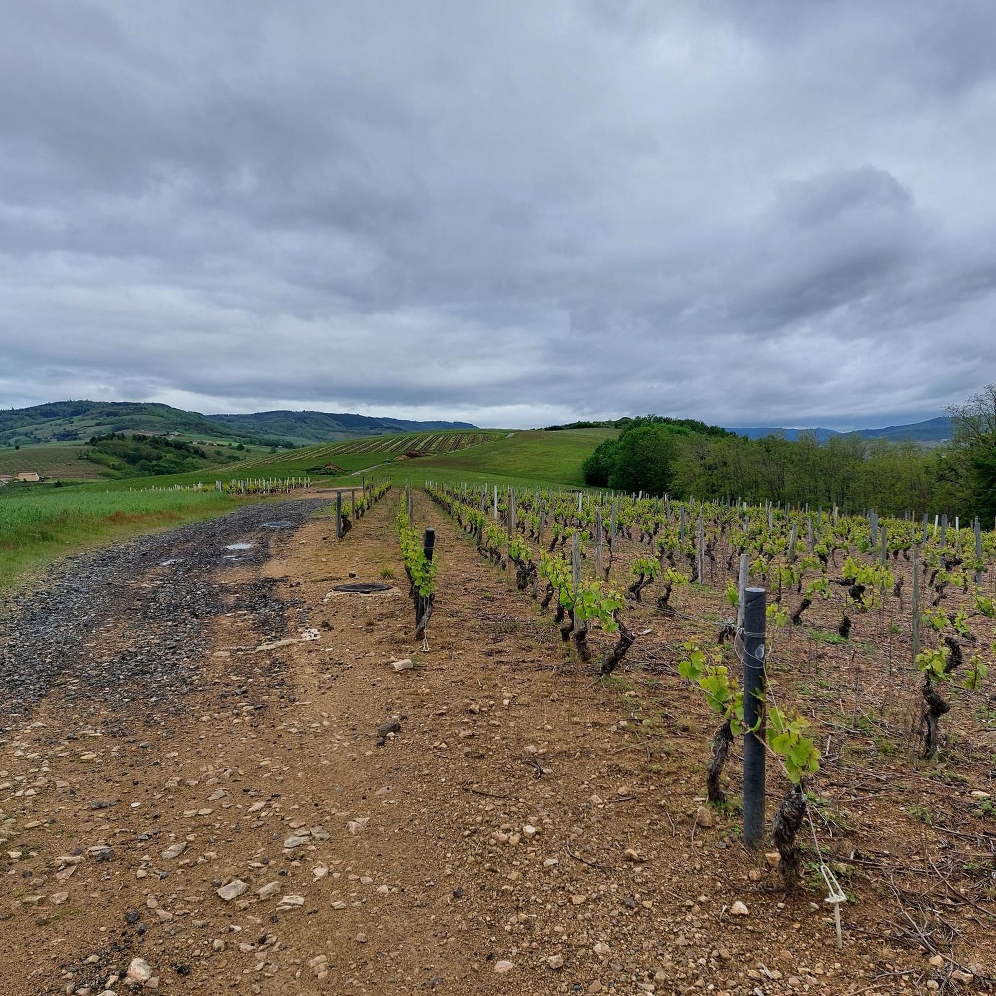
Mont Chatard is a Beaujolais mountain which rises to 696 meters above sea level.
0
0
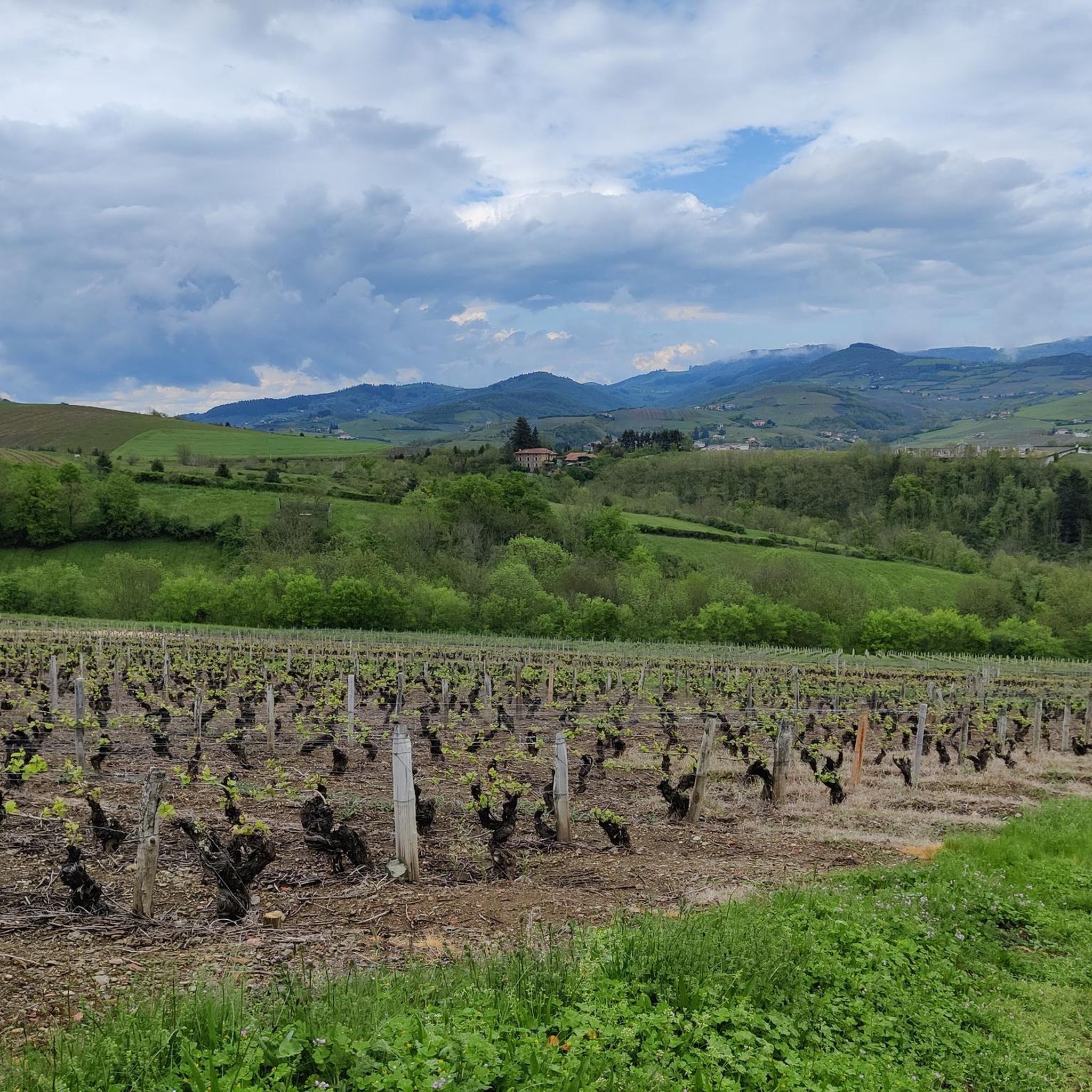
Located in the south of Beaujolais, the commune of Ternand spreads out on both sides of the Azergues valley, encompassing the wooded slopes of Mont Chatard to the west, and a few wine-growing hills of Beaujolais to the east. The historic village includes the ruins of the 12th century castle and a church which houses frescoes from the Carolingian era. The ruins of the castle and the keep, the church which has a remarkable porch, old residences from the 14th century and the 15th century including the so-called tailor's house, bear witness to the time when Ternand was a stronghold of the bishops and counts. from Lyon. The route of the walkway allows you to go around the village and, due to its dominant position, offers a pretty view of the Azergues valley.
0
0
Frequently Asked Questions
What kind of terrain can I expect on the running routes around Saint-Vérand?
The running routes in Saint-Vérand offer a diverse range of terrains, from extensive woods and open meadows to challenging mountain and valley settings. You'll find paths suitable for various ability levels, including moderate trails and more difficult ascents, all within the picturesque Queyras Regional Natural Park.
Are there many running routes available in the Saint-Vérand area?
Yes, Saint-Vérand boasts a comprehensive network of running trails. There are over 380 routes available, catering to different preferences and fitness levels, including 23 easy, 219 moderate, and 138 difficult options.
What do other runners think about the trails in Saint-Vérand?
The running routes in Saint-Vérand are highly regarded by the komoot community, holding an impressive average rating of 4.5 stars from over 100 reviews. More than 3000 runners have used komoot to explore the varied and scenic terrain here, often praising the stunning high-mountain experience and diverse landscapes.
Are there any family-friendly jogging routes in Saint-Vérand?
While many routes offer a challenge, there are 23 easy running routes around Saint-Vérand that are generally suitable for families looking for a less strenuous jog. These often traverse meadows and less steep forest paths, allowing for a pleasant outdoor experience for all ages.
Can I find circular running routes near Saint-Vérand?
Yes, many of the running paths around Saint-Vérand are designed as loops, offering convenient circular routes. For example, the Running loop from Saint-Vérand is a popular moderate 5.1 km option that takes about 35 minutes to complete, providing varied terrains and scenic views.
What kind of wildlife might I encounter while jogging in the Queyras Regional Natural Park?
Jogging in the Queyras Regional Natural Park offers excellent opportunities to observe local wildlife. Keep an eye out for marmots, chamois, and ibex, especially on trails that ascend towards higher altitudes or mountain passes. The preserved environment ensures a rich natural experience.
Are there any significant landmarks or points of interest along the running trails?
Yes, the region around Saint-Vérand is rich in natural beauty and historical sites. While jogging, you might encounter picturesque village architecture, wooden fountains, or chapels. For those interested in historical landmarks, the ancient copper mine of Saint-Vérand provides a unique point of interest. You can also explore nearby Charnay Village and Castle or the impressive Rochebonne Castle.
What is the best season for running in Saint-Vérand?
The best season for running in Saint-Vérand is typically from late spring through early autumn. During these months, the weather is generally favorable, and the trails are clear of snow, allowing access to the full network of paths. The high altitude offers invigorating conditions, but always check local weather forecasts, especially for higher routes.
Are there any challenging running routes for experienced runners?
Absolutely. Saint-Vérand offers numerous challenging routes for experienced runners, including 138 difficult trails. A notable option is the Ternand – Mont Chatard loop from Ternand, a difficult 11.4 km path that traverses a mountain and valley setting, providing a demanding run through diverse landscapes with significant elevation changes.
Can I combine my run with a visit to a mountain pass?
Yes, the region features several mountain passes that can be incorporated into longer or more challenging runs. You could aim for passes like Col de la Croix des Fourches or Croix Papin Pass, which offer rewarding views and a sense of accomplishment at higher elevations.
Are there any running routes that go through dense woodlands?
Yes, many routes wind through the region's extensive forests. The Flachère Forest loop from Légny is a popular moderate 7.4 km trail that leads directly through dense woodlands, offering shade and a different running experience, typically completed in about 1 hour 5 minutes.
What are the elevation gains like on the running trails around Saint-Vérand?
Given its high-mountain setting, running routes around Saint-Vérand often feature significant elevation changes. While some moderate loops might have around 100-120 meters of ascent, more difficult trails, such as the Mont Chatard loop from Saint-Vérand, can involve over 330 meters of climbing, providing an invigorating challenge and panoramic rewards.
Most popular routes around Saint-Vérand
Most popular attractions around Saint-Vérand

Get inspired with the komoot mobile app


Explore more
Browse the best Running Trails & Routes in other regions.
