The best road cycling routes around Lumio
4.7
(584)
10,038
riders
10
rides
Road cycling around Lumio offers diverse landscapes characterized by mountainous terrain, featuring mountain peaks and passes. The region provides varied and engaging routes for road cyclists, with panoramic views from elevated points. Dense chestnut forests and clearings offer picturesque backdrops, combining physical challenge with visually rewarding rides.
Best road cycling routes around Lumio
- The most popular road cycling route is Montemaggiore – Salvi Pass loop from Lumiu-L'Arinella, a 45.1 miles (72.7 km) trail that takes 3 hours 42 minutes…
Last updated: October 25, 2026
4.6
(44)
545
riders
68.1km
03:31
1,220m
1,220m
Hard road ride. Very good fitness required. Mostly well-paved surfaces and easy to ride.
4.6
(19)
235
riders
57.2km
02:59
980m
980m
Hard road ride. Very good fitness required. Mostly well-paved surfaces and easy to ride.

4.9
(22)
236
riders
59.7km
03:08
1,120m
1,120m
Hard road ride. Very good fitness required. Mostly well-paved surfaces and easy to ride.
4.4
(5)
69
riders
25.1km
01:21
460m
460m
Moderate road ride. Good fitness required. Mostly well-paved surfaces and easy to ride.
5.0
(2)
72
riders
76.4km
03:57
1,310m
1,310m
Hard road ride. Very good fitness required. Some segments of this route may be unpaved and difficult to ride.
Get access to more routes and recommendations from other explorers.
Already have an account?
Our route recommendations are based on thousands of hikes, rides, and runs completed by other people on komoot.
Start today with a free account
Your next adventure awaits.
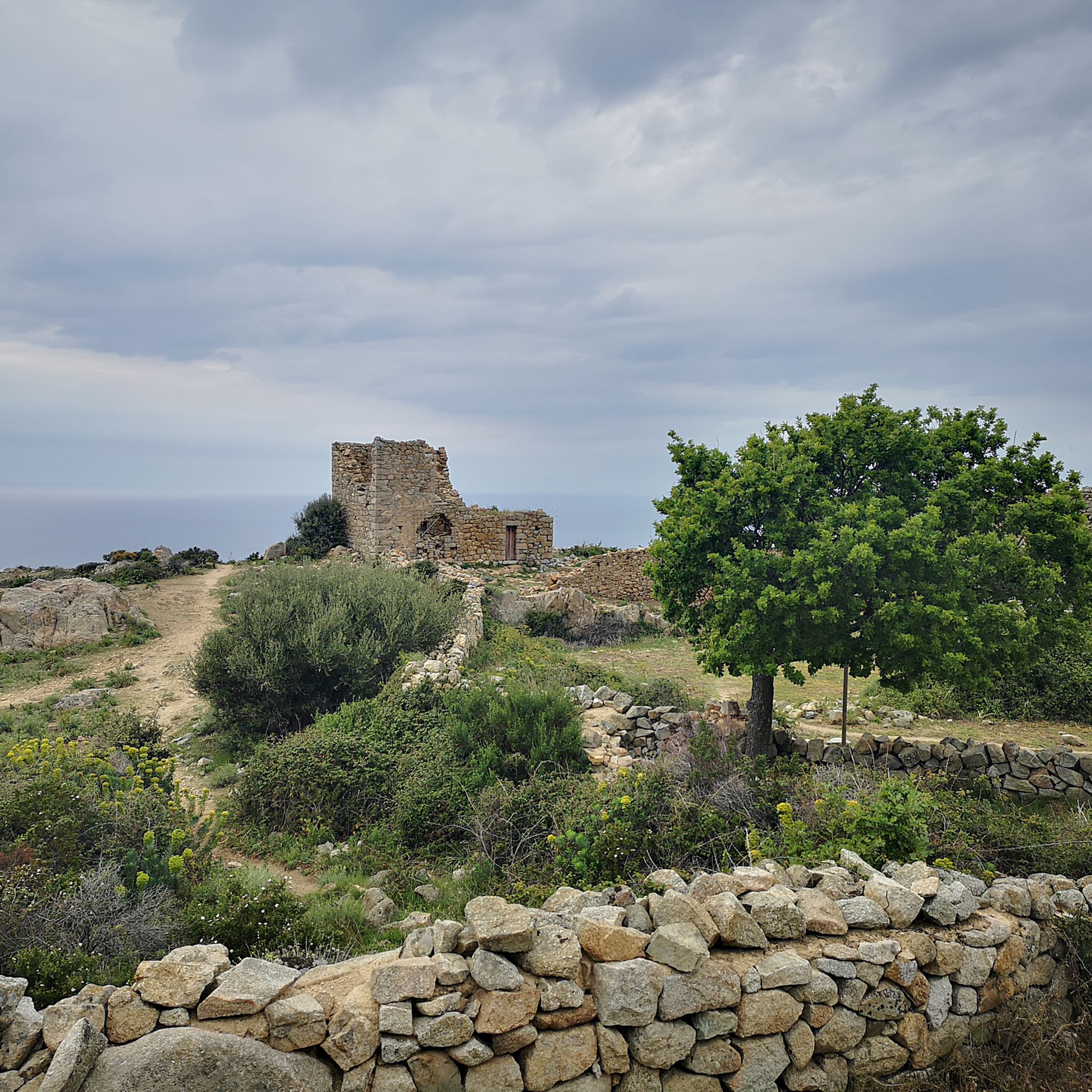
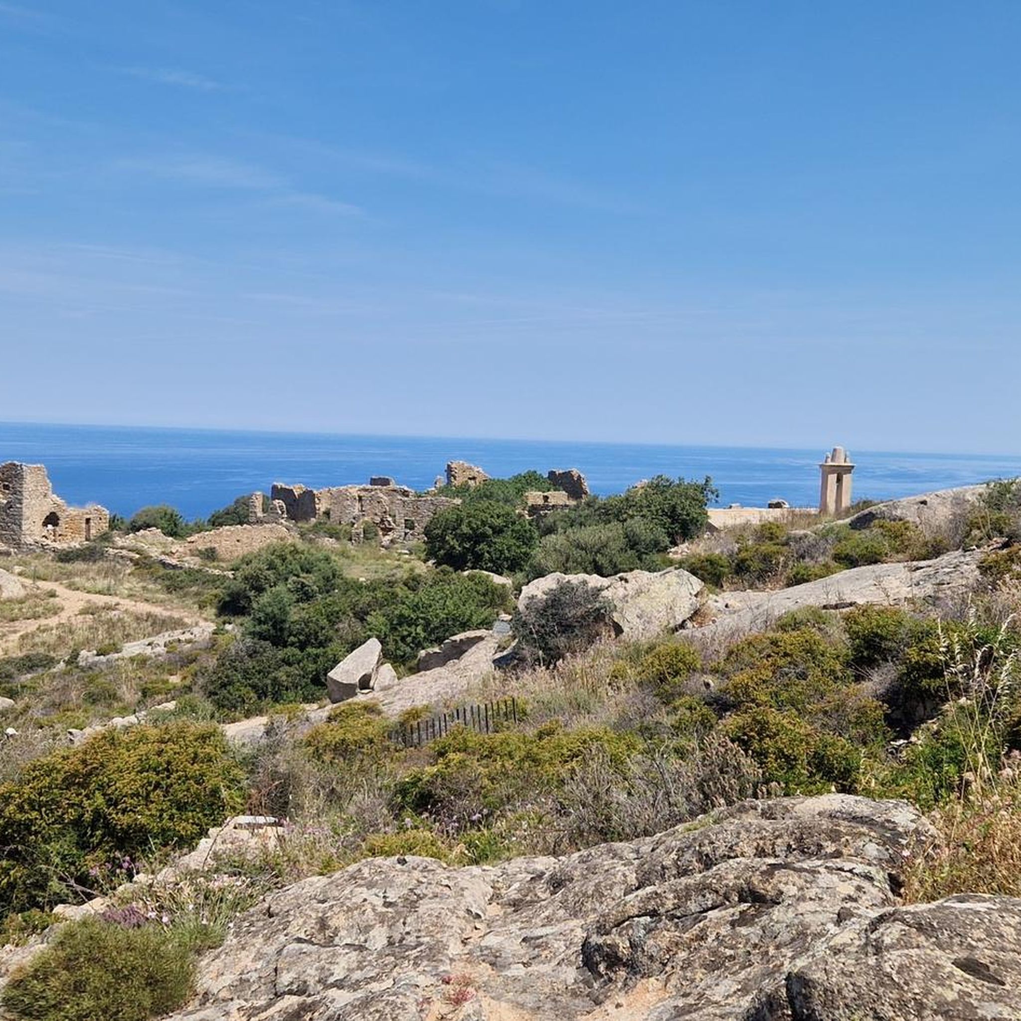
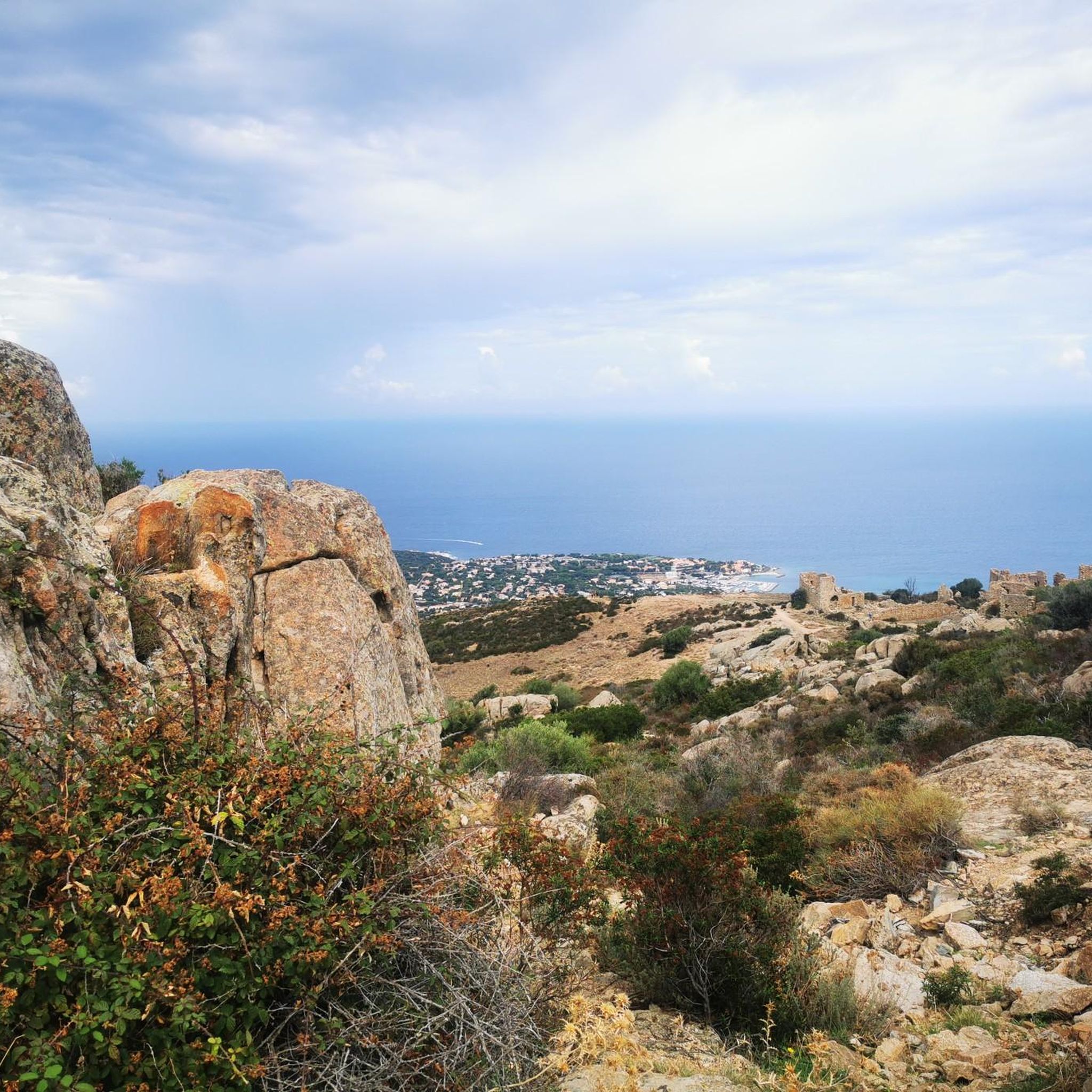


Tips from the Community

Calvi is a beautiful seaside town, bathed by turquoise waters and steeped in history. I recommend strolling through the narrow streets of the Citadel, built in 1483 by the Genoese, and then heading to the port. The view of the bay, overlooked by high mountains, including Mount Cinto (2,706 m), Corsica's highest peak, is impressive.
0
0

The church, located in the middle of a cemetery, was built in the 11th century in the Pisan-Romanesque style. It is considered one of the most beautiful churches in Corsica. It was recently extensively renovated with funds from the EU and the Corsican regional association.
0
0


Little is known about early settlement, but Phoenicians, Greeks and Etruscans already had settlements in the area of today's Calvi. The Romans built a settlement called Sinus Caesiae (possibly also Sinus Casalus) in the area of the lower town, from which the current name Calvi is said to derive; another source refers the place name of Calvi to the Latin word "calvus", which means "bald" and in this respect the name goes back to the originally bare, uncultivated and uninhabited rock on which a citadel was later built.
0
0
The municipalities of Lunghignano and Montemaggiore merged in 1972 to form the municipality of Saint-Rainier-de-Balagne. Saint-Rainier-de-Balagne was merged with Cassano on 1 January 1973 to form the municipality of Montegrosso, named after the Monte Grosso mountain range.
1
0
Montegrosso consists of the villages of Montemaggiore/Montemaiò as the main town (381 m), Cassano/Cassani (300 m) and Lunghignano/Lunghignani (340 m). The municipality is located at about 400 meters above sea level and borders Lavatoggio to the north, Cateri and Avapessa to the northeast, Muro to the east, Zilia to the southeast, Calenzana to the southwest, Calvi to the west and Lumio to the northwest.
1
0
Frequently Asked Questions
What kind of terrain can I expect on road cycling routes around Lumio?
Road cycling around Lumio is characterized by diverse and challenging mountainous terrain, featuring mountain peaks and passes. You'll encounter varied elevation changes, offering both physical challenge and visually rewarding rides. The region boasts panoramic views, especially from elevated points, and you'll often ride through dense chestnut forests and clearings.
Are there road cycling routes suitable for beginners or families in Lumio?
Yes, Lumio offers a range of routes for different skill levels. Out of 73 available routes, 10 are classified as easy, making them suitable for beginners or families looking for a less strenuous ride. For example, the View of Giunchetu Bay – View of Corbara loop from Aregno is a moderate option that provides scenic views without extreme difficulty.
What are some of the most popular road cycling routes in Lumio?
Among the favorites, the Montemaggiore – Salvi Pass loop from Lumiu-L'Arinella is a popular choice, known for its significant elevation gain through mountainous terrain. Another top route is the Agriates Desert – Saint-Florent Harbor loop from Aregno, which offers extensive riding through varied landscapes, including coastal views.
What kind of views and natural attractions can I expect along the road cycling routes?
The routes around Lumio offer stunning panoramic views, especially from higher elevations. You can expect to see picturesque backdrops of dense chestnut forests, clearings, and glimpses of distant landmarks. Notable viewpoints include the Panoramic view of Calvi and the Revellata lighthouse and the View from Capu d'Occi. The region's mountainous character ensures visually rewarding rides.
Are there any interesting landmarks or cultural sites to see near the cycling routes?
Absolutely. While cycling, you can explore charming settlements like Sant' Antonino or discover historical sites such as the Abandoned Village of Occi. For a unique experience, the Carasc Tibetan Bridge is a significant nearby attraction, offering a thrilling suspension bridge walk, though not directly on a cycling path. The Curzútt Village Center also provides a culturally rich stop.
What is the best time of year for road cycling in Lumio?
Given the region's mountainous terrain and potential for warm weather, spring and autumn are generally ideal for road cycling in Lumio. These seasons offer pleasant temperatures and vibrant natural scenery. The Tenero–Bellinzona Cycle Path, for instance, is noted as particularly appealing during warmer months due to its shade, suggesting that even summer can be enjoyable on certain routes.
How long are the road cycling routes in Lumio?
The routes vary significantly in length. For example, the View of Giunchetu Bay – View of Corbara loop from Aregno is about 25 km (15.5 miles), while longer, more challenging routes like the Montemaggiore - Col de Salvi - Cateri – Belgodère loop from Ponte Bambinu can extend to over 124 km (77.5 miles).
What do other road cyclists say about the routes in Lumio?
The road cycling routes in Lumio are highly rated by the komoot community, with an average score of 4.7 stars from over 370 reviews. Cyclists often praise the diverse landscapes, challenging mountain passes, and the panoramic views that combine to create visually rewarding rides.
Are there any circular road cycling routes available?
Yes, many of the routes around Lumio are designed as loops, allowing you to start and end in the same location. Examples include the Montemaggiore – Salvi Pass loop from Lumiu-L'Arinella and the View of Corbara – View of Giunchetu Bay loop from Aregno, offering convenient circular journeys through the region's scenic landscapes.
Are there places to rest or refuel along the routes?
While specific cafes or restaurants directly on every route aren't detailed, the region research mentions places like the Capanna Brogoldone, an alpine hut situated on a panoramic terrace overlooking the Lumino valley. This serves as an excellent spot for cyclists to rest and refuel while enjoying stunning views. Exploring villages like Curzútt also offers opportunities for breaks.
What is the overall difficulty level of road cycling in Lumio?
Lumio offers a good mix of difficulties. Out of 73 routes, there are 10 easy, 37 moderate, and 26 difficult options. This means whether you're looking for a gentle ride or a challenging climb through mountain passes, you'll find suitable routes.
Most popular attractions around Lumio

Get inspired with the komoot mobile app


Explore more
Browse the best Road cycling routes in other regions.
