The best walks and hikes around Grandris
4.7
(401)
3,193
hikers
200
hikes
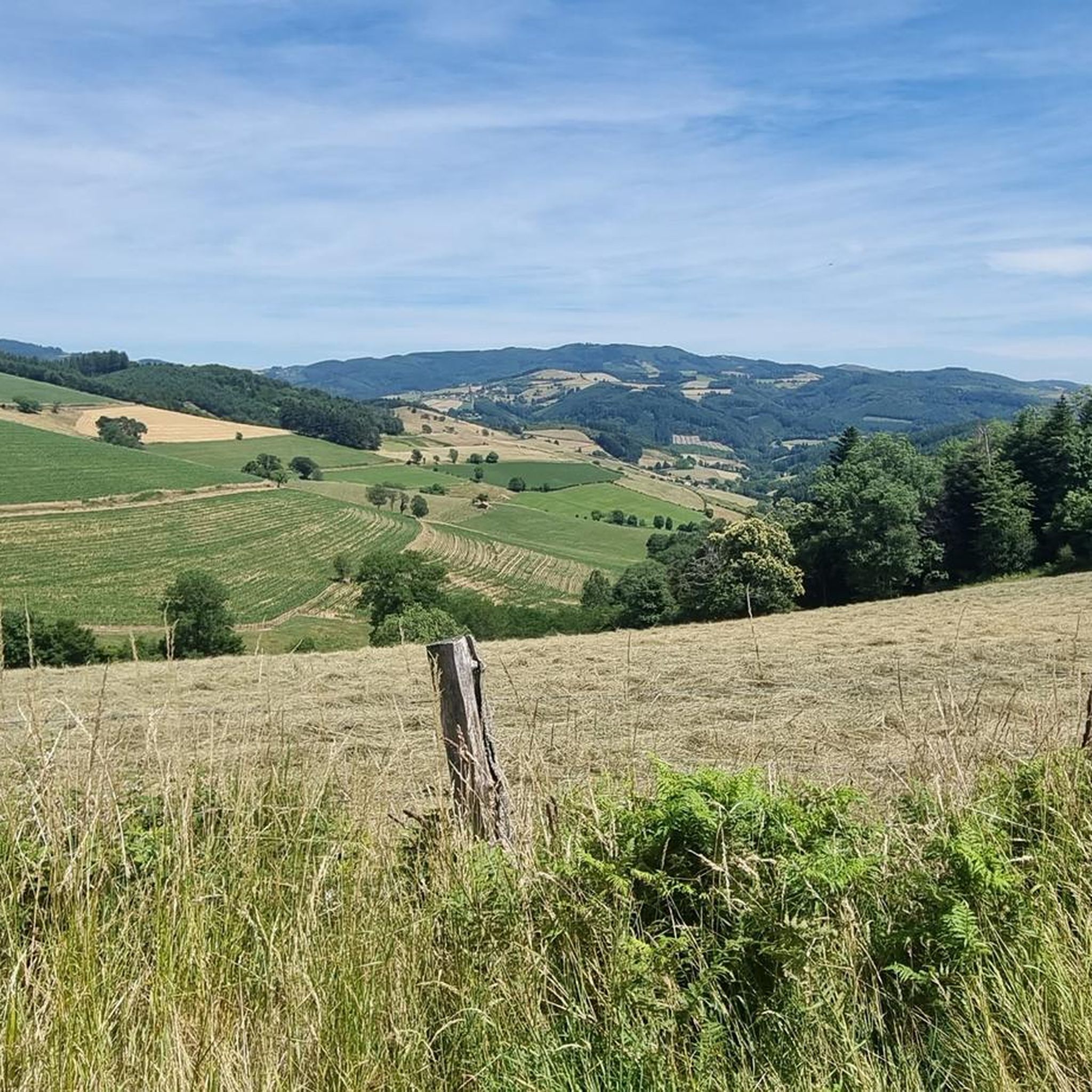
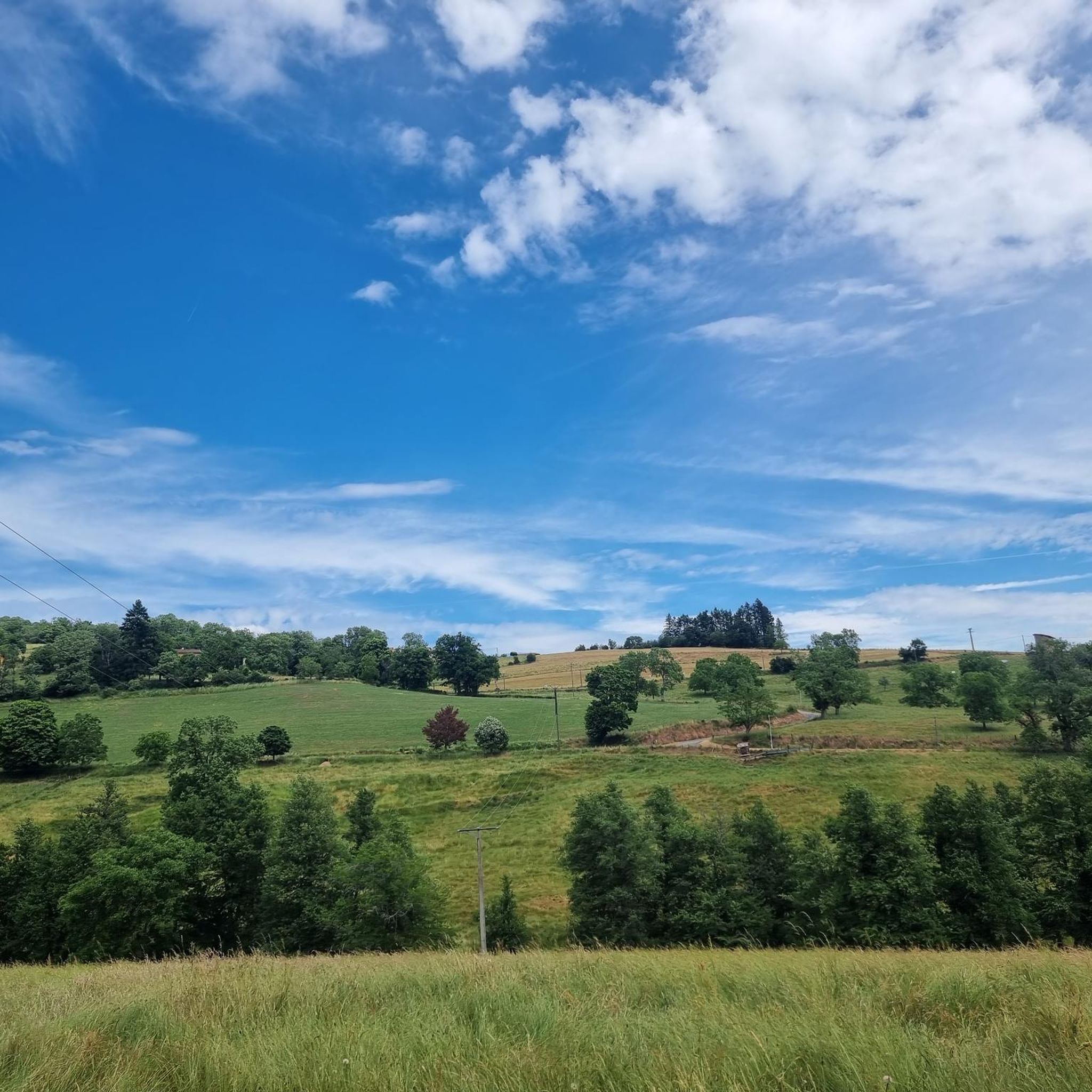
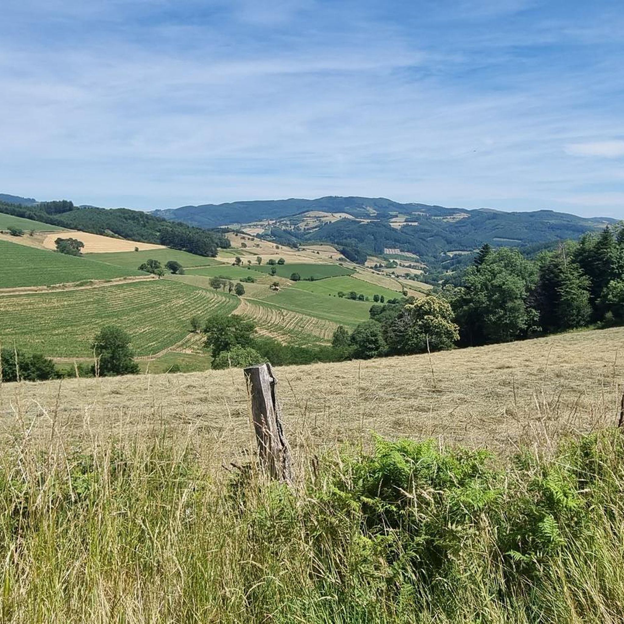
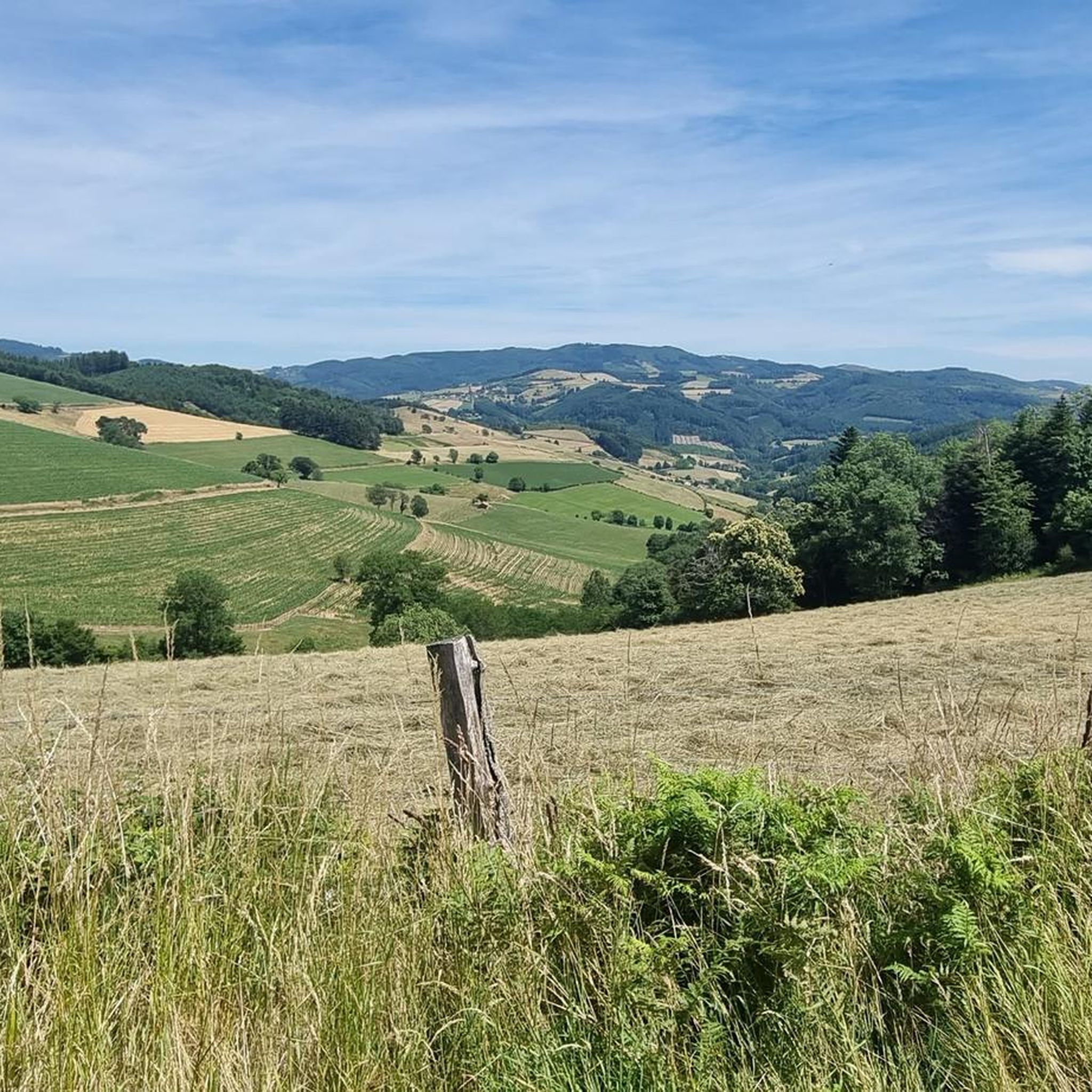
Hiking around Grandris offers diverse experiences within the Monts du Beaujolais, characterized by rolling terrain, extensive forests, and scenic valleys. The region features numerous rivers and streams, with trails often leading to panoramic views across the landscape. Elevated points like Crêt Bizet and Col de la Cambuse provide expansive vistas, making it an appealing destination for outdoor activities.
Best hiking trails around Grandris
- The most popular hiking route is Pine Lake – View of Lac des Sapins loop from Saint-Just-d'Avray…
Last updated: June 27, 2026
4.3
(4)
48
hikers
21.7km
06:41
770m
770m
Hard hike. Very good fitness required. Easily-accessible paths. Suitable for all skill levels.
4.5
(4)
31
hikers
17.2km
05:15
570m
570m
Hard hike. Very good fitness required. Easily-accessible paths. Suitable for all skill levels.

Sign up for free
4.5
(2)
10
hikers
17.7km
05:27
620m
620m
Hard hike. Very good fitness required. Easily-accessible paths. Suitable for all skill levels.
4.5
(2)
9
hikers
15.9km
04:43
470m
470m
Moderate hike. Good fitness required. Easily-accessible paths. Suitable for all skill levels.
5.0
(1)
12
hikers
9.55km
02:51
280m
280m
Moderate hike. Good fitness required. Easily-accessible paths. Suitable for all skill levels.
Get access to more routes and recommendations from other explorers.
Sign up for free
Already have an account?
Our route recommendations are based on thousands of hikes, rides, and runs completed by other people on komoot.
Start today with a free account
Your next adventure awaits.
Login or Signup

Tips from the Community


Beautiful pass at 736 m, quite gentle, 6.1% average. Nice to do by mixing with the 76 gravel hiking trail.
3
0

Magnificent tour of the lake, with restaurants and activities (tree climbing, paintball, boating...), 2 atmospheres with the dike side and the beach side, and the largest organic swimming pool in Europe. A must-have in Beaujolais Vert.
0
0

a refreshing spring at the crossroads of the forest road and the forest of experiences
0
0

Pretty lake with a huge natural swimming pool, an adventure park and plenty of picnic space.
1
0

One of the most beautiful views of Beaujolais!
1
0

Lac des Sapins offers the largest biological swimming pool in Europe. It is located 440 meters above sea level in the heart of Beaujolais Vert. This environment is special since it has a space dedicated to swimming and a space for aquatic plants that purify, oxygenate and naturally regenerate the quality of the water. This place offers a thousand and one possibilities; hikes, bike rides, horseback riding or water activities you will not be outdone in this green setting.
0
0
Frequently Asked Questions
How many hiking trails are available around Grandris?
Grandris offers an extensive network of over 180 hiking routes. These range from easy strolls to more challenging treks, ensuring options for all skill levels within the picturesque Monts du Beaujolais.
Are there easy hiking trails suitable for beginners or families in Grandris?
Yes, Grandris has 49 easy hiking routes, perfect for beginners or families. The region is known for its 'Randoland' circuits and a botanical path, which are designed to be engaging and accessible. These trails often lead through pleasant valleys and offer gentle elevation gains.
What kind of landscapes can I expect to see while hiking in Grandris?
Hikers in Grandris will experience diverse landscapes, including rolling terrain, dense forests, and scenic valleys characteristic of the Beaujolais mountains. Many routes offer magnificent panoramic views, and you'll often encounter rivers and streams, such as the Rivière de Grandris.
Are there any notable points of interest or landmarks along the hiking trails?
Absolutely. The trails around Grandris feature various points of interest. You can discover mountain passes like Cambuse Pass and Croix Papin Pass, or natural monuments like Le Saule d'Oingt. The area also includes the scenic Lac des Sapins and the Croix de Paisselay.
Are there any circular hiking routes in Grandris?
Yes, many of the hiking routes around Grandris are circular, allowing you to start and end at the same point. An example is the moderate Col de l'Horme loop from Lamure-sur-Azergues, which covers about 9.5 km.
What do other hikers enjoy most about the trails in Grandris?
The hiking trails in Grandris are highly regarded by the komoot community, boasting an average rating of 4.7 stars from over 300 reviews. Hikers often praise the varied terrain, the stunning panoramic views, and the well-maintained paths that lead through forests and valleys.
Are there any challenging hikes for experienced trekkers?
Yes, Grandris offers 22 difficult routes for experienced trekkers. For instance, the challenging View from La Pyramide (888 m) loop from Lamure-sur-Azergues is a 17.2 km path that ascends to an elevated point, providing expansive views.
What is the typical duration for a moderate hike in Grandris?
Moderate hikes in Grandris vary in length and duration. For example, the Font Froide Spring – Croix Papin Pass loop from Chambost-Allières is a 16.4 km trail that typically takes around 4 hours and 52 minutes to complete.
Can I find trails that connect to longer-distance hiking paths?
Yes, some circuits around Grandris connect to more extensive networks. For example, part of a challenging 18 km loop from Grandris follows the GR7, a renowned long-distance hiking trail, offering access to more demanding and extensive routes.
Are there any specific elevated points that offer great views?
The region around Grandris features several elevated points known for their panoramic views. Crêt Bizet and Col de la Cambuse are specific high points mentioned in longer circuits, promising breathtaking vistas of the surrounding Beaujolais mountains and valleys.
What is the best time of year to go hiking in Grandris?
While Grandris offers hiking opportunities year-round, spring and autumn are particularly popular due to milder temperatures and vibrant foliage. The diverse flora and fauna are especially beautiful during these seasons, making for a pleasant hiking experience.
Are there any routes that pass by lakes or significant water bodies?
Yes, some routes will lead you to beautiful water features. The difficult Pine Lake – View of Lac des Sapins loop from Saint-Just-d'Avray, for instance, takes you past the scenic Lac des Sapins, offering picturesque views.
Most popular attractions around Grandris

Get inspired with the komoot mobile app


Explore more
Browse the best Hikes in other regions.
