The best walks and hikes around Dième
4.6
(559)
3,805
hikers
245
hikes
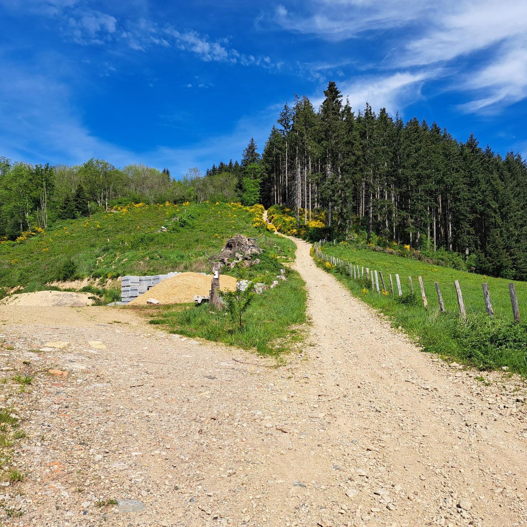
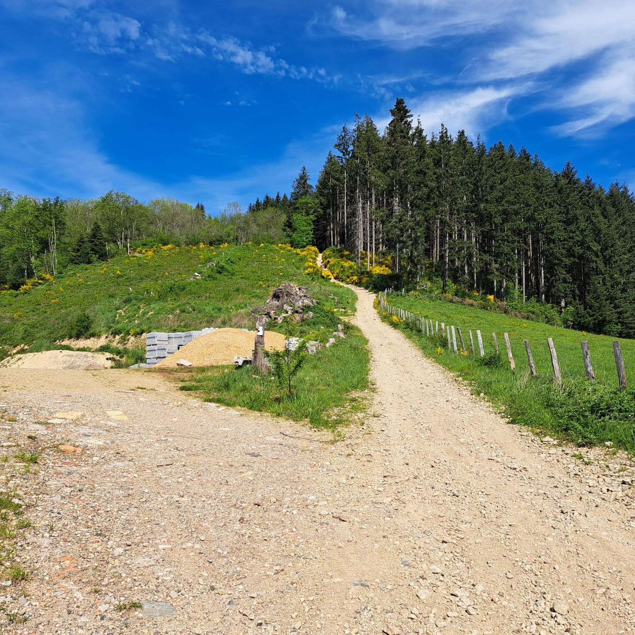
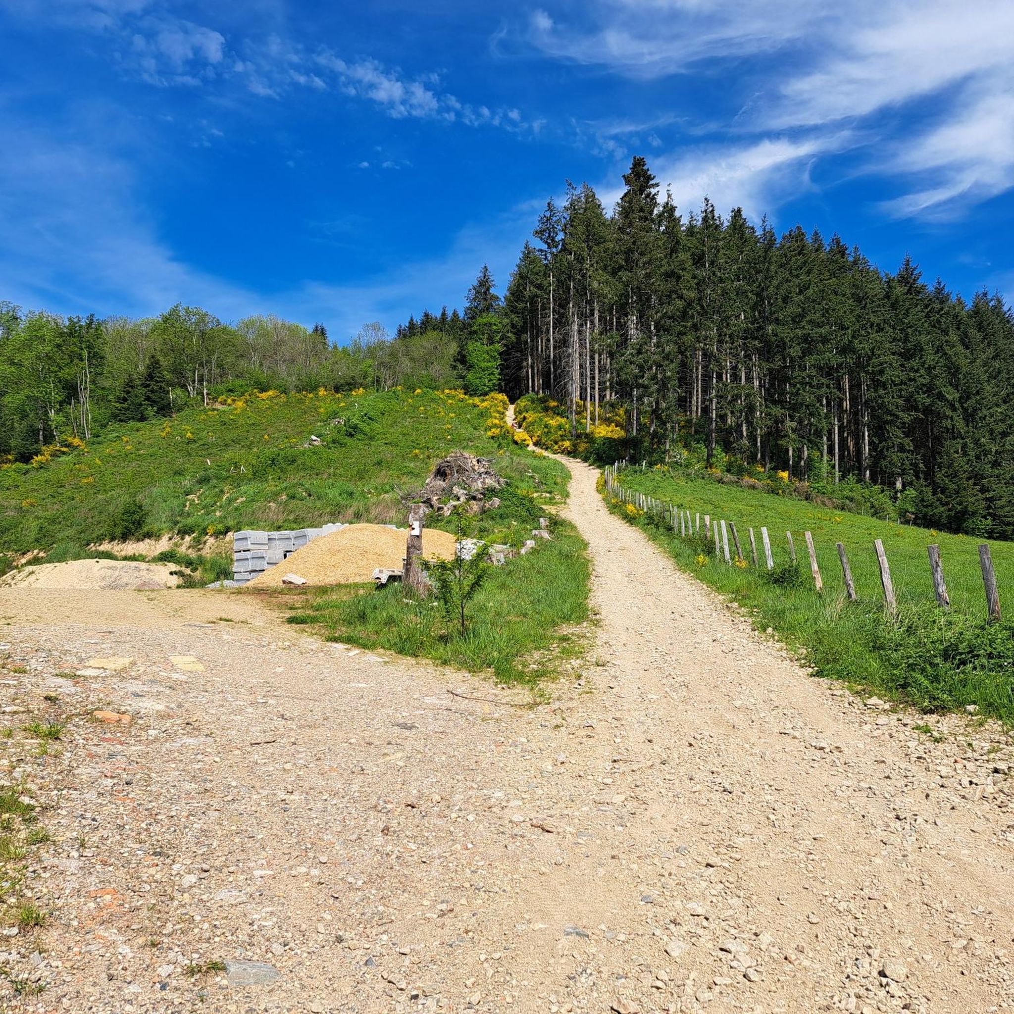
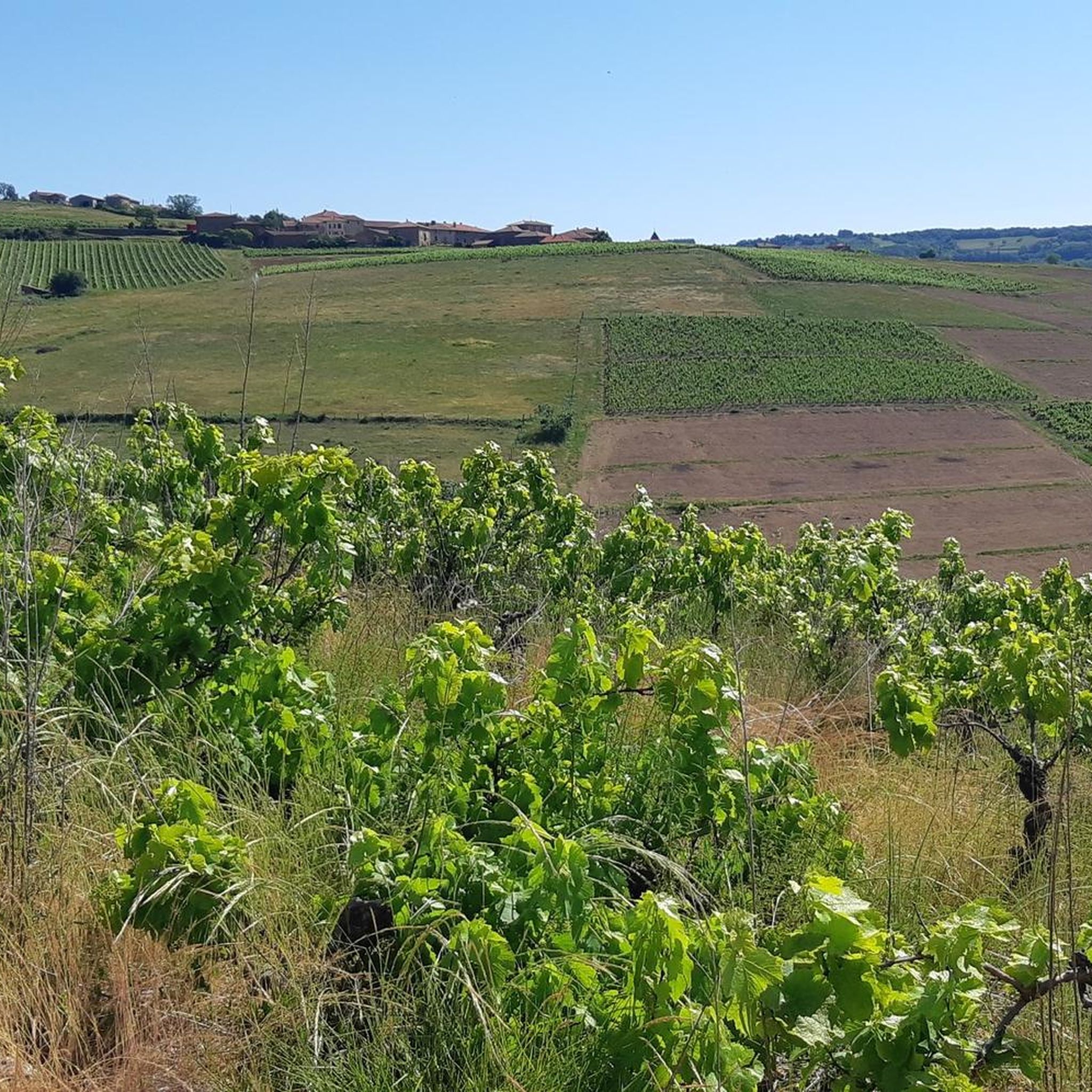
Hiking around Dième offers a diverse landscape characterized by rolling hills, dense forests, and vineyards. The region is situated within the Rhône department, providing varied terrain for outdoor activities. Trails often traverse forested areas like the Forêt de Brou and offer views of the Lyonnais mountains. The area features a mix of natural beauty and cultural heritage, with paths winding through agricultural lands and small woods.
Best hiking trails around Dième
- The most popular hiking route is Mont Chatard loop…
Last updated: June 27, 2026
5.0
(2)
29
hikers
9.20km
02:48
320m
320m
Moderate hike. Good fitness required. Easily-accessible paths. Suitable for all skill levels.
5.0
(2)
15
hikers
15.4km
04:34
450m
450m
Moderate hike. Good fitness required. Easily-accessible paths. Suitable for all skill levels.

Sign up for free
5.0
(1)
9
hikers
6.50km
01:58
220m
220m
Easy hike. Great for any fitness level. Easily-accessible paths. Suitable for all skill levels.
4.8
(4)
12
hikers
13.7km
04:07
430m
430m
Moderate hike. Good fitness required. Easily-accessible paths. Suitable for all skill levels.
5.0
(2)
13
hikers
26.3km
07:43
730m
730m
Hard hike. Very good fitness required. Easily-accessible paths. Suitable for all skill levels.
Get access to more routes and recommendations from other explorers.
Sign up for free
Already have an account?
Our route recommendations are based on thousands of hikes, rides, and runs completed by other people on komoot.
Start today with a free account
Your next adventure awaits.
Login or Signup

Tips from the Community

beautiful view of the Alps when it is clear
0
0

Several beautiful roads and paths starting from this pass
0
0

The Beaujolais Vert wind farm is the 1st wind farm in the Rhône department. It is made up of four wind turbines and can meet the annual electricity consumption of 13,000 people. Four years of study were necessary to build this park with respect for the environment.
0
0
This chapel was offered to the municipality of Ronno by Jean-Baptiste Dumas, a threshing contractor around 1850. It was following an accident with his threshing machine that he undertook to build a chapel. It was inaugurated on August 15, 1988 after restoration.
0
0
This orientation table offers a beautiful 180 degree panorama from Villefranche-sur-Saône to Tarare. You enjoy a view of the Monts du Lyonnais, the Monts de Tarare, the Monts d'Or, the Pilat, and even on the massifs of the Vercors and the Alps on a clear day.
0
0

A rolling pass in the Soanan valley on the Valsonne side and on the other side towards Amplepuis. The road is quite busy with in particular the passage of heavy goods vehicles. However, a very wide cycle lane with good asphalt allows you to climb safely. You can make the junction towards the Col de la Croix de l'Orme, the Col des Cassettes at the top.
0
0
Nice pass to do from St Just d'Avray in the forest, without significant percentage and quite short. We also climb on the St Appo side with beautiful views of the Pilon wind turbines. It can also be reached from the Col de la Croix Thel.
1
0

Small chapel hidden in the middle of the woods, locked, you can still take a look through the hole in the door and see that it is still maintained...but by whom?
0
0
Frequently Asked Questions
How many hiking trails are available around Dième?
Dième offers a wide variety of hiking opportunities, with over 230 routes available. These trails cater to different skill levels, from easy strolls to more challenging excursions through the region's diverse landscapes.
What kind of terrain can I expect on hikes around Dième?
The terrain around Dième is characterized by rolling hills, dense forests, and picturesque vineyards. You'll find paths winding through forested areas like the Forêt de Brou and trails offering views of the Lyonnais mountains. The region is part of the Beaujolais and Pierres Dorées areas, known for their distinctive golden-hued stone villages and scenic agricultural lands.
Are there easy hiking options suitable for beginners in Dième?
Yes, Dième has a good selection of easy hikes perfect for beginners or those looking for a relaxed walk. There are 66 easy routes available. An example is the Mont Chatard loop from Croix de Brou, which is 4.0 miles (6.5 km) and typically takes less than two hours to complete through forested areas.
Can I find circular hiking routes in the Dième area?
Many of the hiking routes around Dième are designed as circular loops, allowing you to start and end at the same point. For instance, the popular Mont Chatard loop from Dième is a moderate 5.7-mile (9.2 km) circular trail exploring local hills and woodlands. Another option is the Hiking loop from Dième, a moderate 11.4 km route.
What are some notable landmarks or viewpoints to look out for on trails near Dième?
Hikers in Dième can enjoy expansive views of the Lyonnais mountains. On clear days, it's even possible to see Mont Blanc and the entire Alpine chain. Trails often pass through charming villages like Oingt, known for its golden stones, and offer sights like the Croix de Paisselay. The region's vineyards also provide beautiful scenic backdrops.
Are there any family-friendly hiking trails around Dième?
While specific 'family-friendly' designations aren't always explicit, the numerous easy and moderate loops in Dième are generally suitable for families. Trails through forests and vineyards with varied terrain and manageable distances, such as the Mont Chatard loop from Croix de Brou, are often good choices for families with children.
Are dogs allowed on the hiking trails in Dième?
Generally, dogs are welcome on hiking trails in the Dième region, especially in natural areas and forests, provided they are kept under control, often on a leash, and owners clean up after them. It's always a good idea to check local signage for any specific restrictions, particularly in protected areas or near agricultural lands.
What is the best time of year to go hiking in Dième?
The best time to hike in Dième is typically during spring, summer, and autumn. Spring offers lush greenery and blooming landscapes, while autumn provides vibrant fall colors in the forests and vineyards. Summer is also popular, though some trails might be more exposed to the sun. Winter hiking is possible, but conditions can vary, especially at higher elevations.
Where can I find parking for hiking trails in Dième?
Many hiking routes around Dième, particularly those starting from villages or popular trailheads, offer designated parking areas. For example, routes like the Mont Chatard loop from Dième would typically have parking available in or near the village of Dième itself. For routes starting from other locations like Valsonne, parking would be available there.
What do other hikers say about their experience in Dième?
The hiking routes in Dième are highly rated by the komoot community, with an average score of 4.7 stars from over 460 reviews. Hikers often praise the diverse landscapes, including vineyards and dense forests, and the well-maintained trails that offer beautiful views of the Lyonnais mountains.
Are there any places to eat or drink near the hiking routes in Dième?
Yes, the region around Dième, being part of the Beaujolais, offers various options for refreshments. You can find restaurants and cafes in nearby villages. For example, Le relais du Parasoir is a restaurant that also serves as a highlight in the area, often accessible from various routes.
Beyond hiking, what other attractions can I explore near Dième?
The area around Dième is rich in attractions. You can visit charming golden-stone villages like Oingt, explore natural monuments such as Le Saule d'Oingt, or relax by Lac des Sapins. The region's vineyards also offer opportunities for wine tasting and scenic drives.
Are there any trails that offer views of the Beaujolais vineyards?
Absolutely. Dième is situated within the Beaujolais region, and many trails traverse these famous vineyards. You'll find routes that wind directly through the vines, offering picturesque views of the rolling hills covered in grapevines, especially beautiful during harvest season.
What are the typical durations for hikes around Dième?
The duration of hikes in Dième varies greatly depending on the route's length and difficulty. Easy trails, like the Mont Chatard loop from Croix de Brou (6.5 km), can be completed in under 2 hours. Moderate routes, such as the Beaujolais Vert Wind Farm loop (15.4 km), might take around 4.5 hours, offering options for both short strolls and longer day trips.
Most popular attractions around Dième

Get inspired with the komoot mobile app


Explore more
Browse the best Hikes in other regions.
