The best road cycling routes around Ambricourt
4.6
(14)
263
riders
79
rides
Road cycling around Ambricourt offers a rural setting within the Pas-de-Calais department of northern France. The region features varied terrain, including plateaus, valleys, and bocages, providing a mix of routes. Cyclists can expect to traverse open agricultural fields and undulating landscapes, with elevations typically ranging between 93 and 138 meters. This diverse topography supports routes of varying difficulty levels.
Best road cycling routes around Ambricourt
- The most popular road cycling route is Citadel of Montreuil – Citadel of Montreuil-sur-Mer loop…
Last updated: October 4, 2026
19
riders
97.4km
05:00
1,160m
1,160m
Hard road ride. Very good fitness required. Some segments of this route may be unpaved and difficult to ride.
11
riders
52.7km
02:12
350m
350m
Moderate road ride. Good fitness required. Mostly well-paved surfaces and easy to ride.

13
riders
226km
10:01
1,950m
1,950m
Hard road ride. Very good fitness required. Mostly well-paved surfaces and easy to ride.
5.0
(1)
9
riders
183km
07:32
1,000m
1,000m
Hard road ride. Very good fitness required. Mostly well-paved surfaces and easy to ride.
6
riders
55.0km
02:13
300m
300m
Moderate road ride. Good fitness required. Mostly well-paved surfaces and easy to ride.
Get access to more routes and recommendations from other explorers.
Already have an account?
Our route recommendations are based on thousands of hikes, rides, and runs completed by other people on komoot.
Start today with a free account
Your next adventure awaits.


Tips from the Community

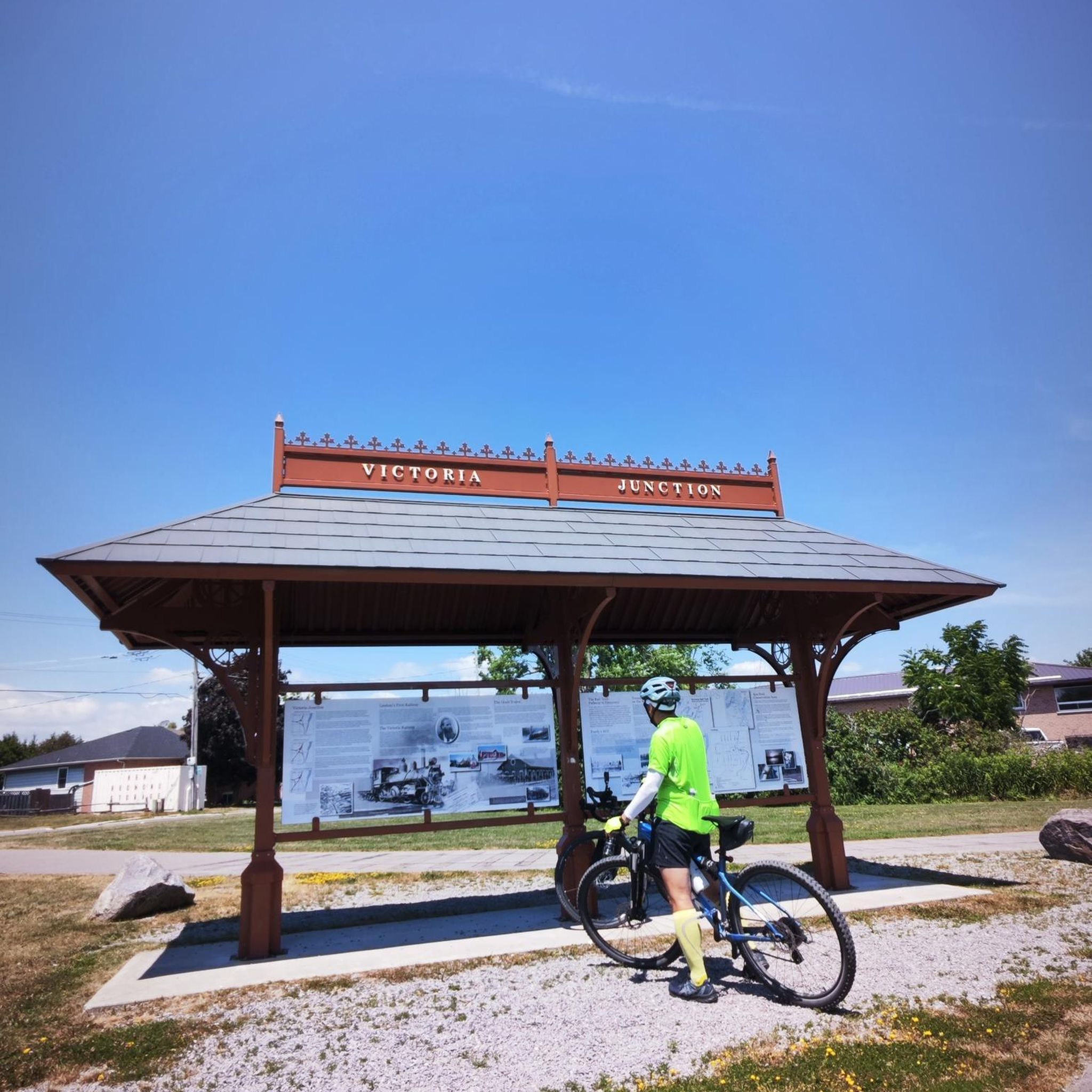
Well-preserved space. The rampart tour is worth the detour. There is even a shelter for bike parking.
0
0

Mont César rises to a height of 138 meters on the left bank of the Thérain River, near the hamlet of Froidmont, in the municipality of Bailleul-sur-Thérain, in the Oise department. The hill, which overlooks the valley and surrounding marshes, has been inhabited since the Bronze Age and was likely a Gallo-Roman oppidum on an ancient, fortified Gallic camp. Archaeological excavations carried out since the 18th century have unearthed numerous objects and remains of fortifications. During excavations conducted in 1878 by Isidore Berton, Gallic coins and various objects from the Roman period were discovered. Want to know more? Click through to the source: https://fr.wikipedia.org/wiki/Mont_C%C3%A9sar
0
0

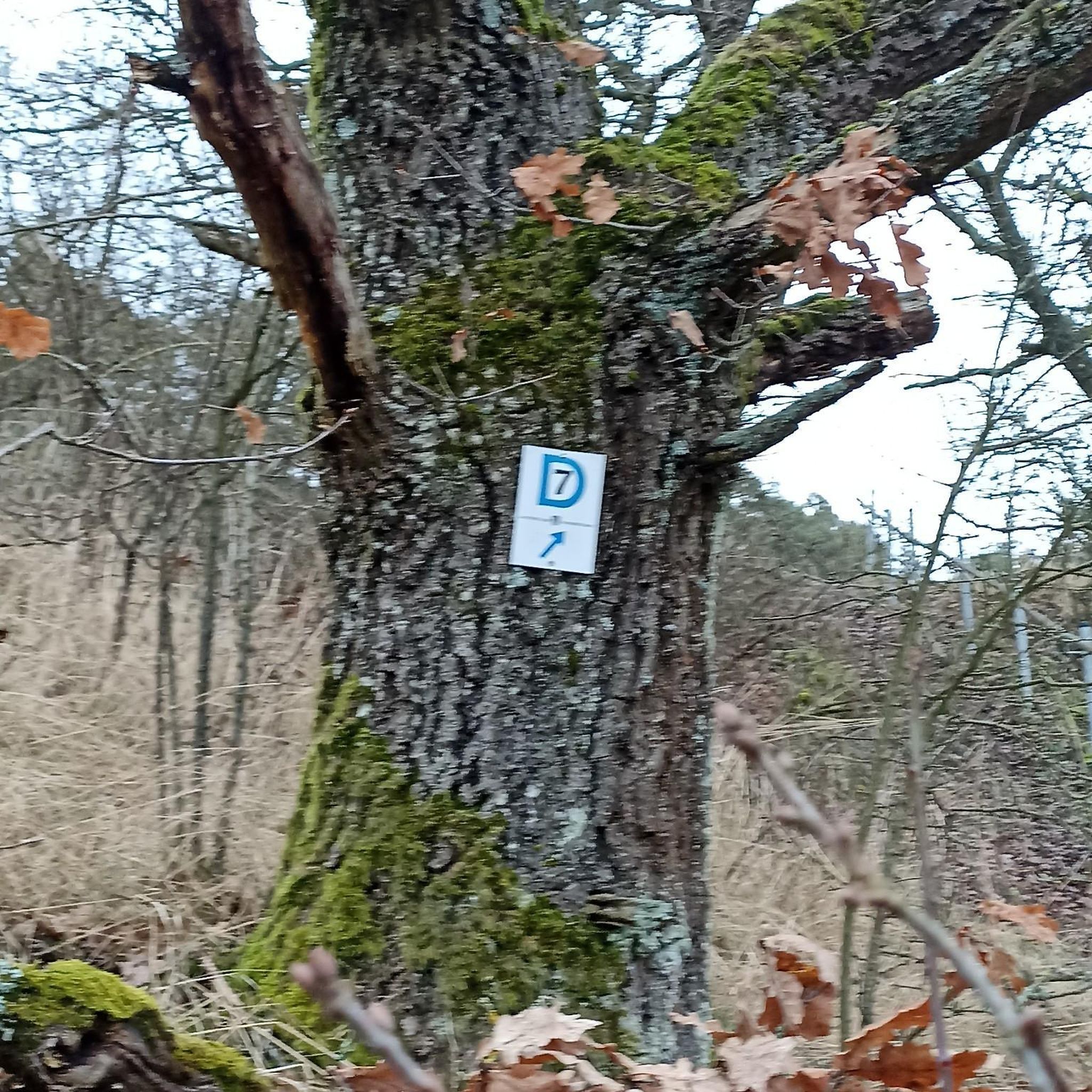
Somewhat remote, but very worth seeing
0
0

It's a climb! Hang in there on this climb, not so long but intense at the end of Lille-Hardelot!
0
0


A real test of freshness for the legs or a signal to return home in the event of running out of fuel in the 12 to 13% range.
0
0

Excellent road between Coulomby and Quesques - quiet, smooth and superb wooded scenery.
1
0

Stately architecture that invites you to stroll. Many restaurants, you should take the time to enjoy the overall effect in a relaxed manner.
1
0
Frequently Asked Questions
What kind of terrain can I expect when road cycling around Ambricourt?
Road cycling around Ambricourt offers a varied rural landscape, characterized by a mix of plateaus, valleys, and bocages (small woodlands and hedges). You'll traverse open agricultural fields with undulating terrain, featuring elevations typically between 93 and 138 meters, and reaching up to 160 meters in some areas. This diverse topography provides routes suitable for various difficulty levels.
How many road cycling routes are available in the Ambricourt area?
There are over 75 road cycling routes available around Ambricourt on komoot. These routes cater to different skill levels, with 9 easy, 54 moderate, and 12 difficult options to explore.
Are there any easy road cycling routes suitable for beginners around Ambricourt?
Yes, Ambricourt offers several easy road cycling routes perfect for beginners. One such route is the Descent of Tilly-Capelle – Town of Hesdin loop from Teneur, which is 44.0 km long and typically takes about 1 hour 54 minutes to complete. Another easy option is the Roadbike loop from Ruisseauville, covering 38.4 km.
What are some of the longer road cycling routes available near Ambricourt?
For those seeking longer rides, the Ambricourt area has options that extend well beyond the immediate commune. A challenging long-distance route is the British Military Cemetery – Citadel of Montreuil loop from Ruisseauville, which spans an impressive 165.6 km and features over 1000 meters of elevation gain.
What kind of natural features can I expect to see on road cycling routes around Ambricourt?
As you cycle around Ambricourt, you'll encounter a 'pretty countryside setting' with varied natural features. The routes often pass through open agricultural fields, offering long scenic views. The broader Ternois region, which includes Ambricourt, is characterized by its undulating plateaus, valleys, and bocages. For a different riding environment, the Clocher de Verchin – Town of Hesdin loop from Verchin offers views of agricultural landscapes.
Are there any historical landmarks or points of interest along the road cycling routes?
Yes, road cycling routes around Ambricourt can lead you to several historical and cultural points of interest. Within Ambricourt itself, you might encounter the distinctive Sainte-Marguerite church and the remains of a former V1 missile launch site from World War II. Longer routes, such as the Citadel of Montreuil – Citadel of Montreuil-sur-Mer loop from Ruisseauville, traverse varied rural terrain and connect to historical sites like the Citadel of Montreuil.
What do other road cyclists say about the routes in Ambricourt?
The road cycling routes in Ambricourt are highly regarded by the komoot community, holding an average rating of 4.47 out of 5 stars from over 16 reviews. Cyclists often praise the varied terrain, the quiet rural roads, and the opportunities to explore the picturesque landscapes of the Pas-de-Calais department.
Are there any circular road cycling routes in the Ambricourt area?
Yes, many of the road cycling routes around Ambricourt are designed as loops, allowing you to start and finish in the same location. Examples include the Citadel of Montreuil – Citadel of Montreuil-sur-Mer loop from Ruisseauville, the Clocher de Verchin – Town of Hesdin loop from Verchin, and the Descent of Tilly-Capelle – Town of Hesdin loop from Teneur.
What is the best time of year to go road cycling in Ambricourt?
The best time to go road cycling in Ambricourt is generally during the spring, summer, and early autumn months. During these seasons, the weather is typically milder and more conducive to cycling, allowing you to fully enjoy the open agricultural fields and varied landscapes. Always check the local forecast before heading out.
Are there any cafes or pubs near the cycling routes for a break?
While Ambricourt itself is a small commune, the rural roads connect to other small villages and towns in the region. These often provide opportunities for breaks, where you might find local cafes or pubs. Planning your route to pass through larger villages or towns like Hesdin can ensure you have options for refreshments.
Is parking available for cyclists in Ambricourt?
As a rural commune, Ambricourt and its surrounding villages typically offer accessible parking options, especially in village centers or near local amenities. When planning your ride, consider starting points in villages that have public parking areas, often near churches or town halls, to safely leave your vehicle.
Can I reach Ambricourt by public transport with my bike?
Public transport options directly to Ambricourt with a bike might be limited due to its rural location. It's advisable to research regional bus or train services in the Hauts-de-France region that allow bikes, and then cycle the remaining distance from a larger transport hub. Check specific operator policies for bike carriage.

Get inspired with the komoot mobile app


Explore more
Browse the best Road cycling routes in other regions.
