The best walks and hikes around Montbellet
4.6
(301)
1,317
hikers
135
hikes
Hiking around Montbellet, situated in the Saône-et-Loire department of France, offers diverse landscapes for outdoor enthusiasts. The region features varied terrain, from the Mâconnais mountains, including Mount Saint-Romain at 579 meters, to serene river confluences and tranquil lakes. Marked trails traverse these areas, providing options for different skill levels.
Best hiking trails around Montbellet
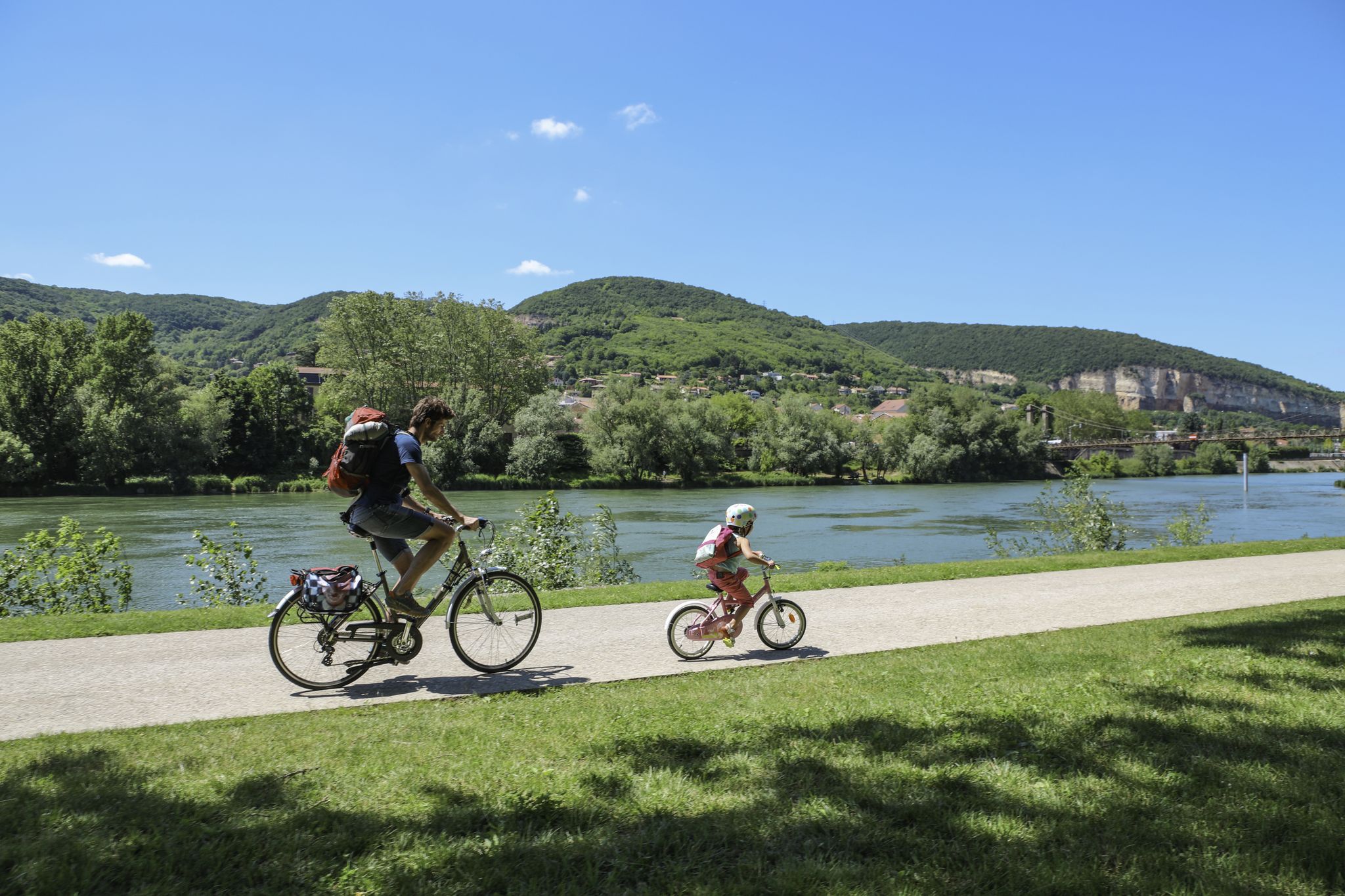
- The most popular hiking route is Port of Pont-de-Vaux – Fleurville lock loop from Fleurville, a 7.4 miles (11.9 km) trail that takes 2 hours…
Last updated: July 11, 2026
3.7
(7)
38
hikers
10.3km
02:36
20m
20m
Moderate hike. Good fitness required. Easily-accessible paths. Suitable for all skill levels.
4.0
(1)
20
hikers
8.47km
02:08
10m
10m
Moderate hike. Good fitness required. Easily-accessible paths. Suitable for all skill levels.

Sign up for free
4.2
(6)
10
hikers
9.27km
02:39
220m
220m
Moderate hike. Good fitness required. Easily-accessible paths. Suitable for all skill levels.
5.0
(3)
11
hikers
8.96km
02:34
210m
210m
Moderate hike. Good fitness required. Easily-accessible paths. Suitable for all skill levels.
5.0
(3)
8
hikers
4.25km
01:18
150m
150m
Easy hike. Great for any fitness level. Easily-accessible paths. Suitable for all skill levels.
Get access to more routes and recommendations from other explorers.
Sign up for free
Already have an account?
Our route recommendations are based on thousands of hikes, rides, and runs completed by other people on komoot.
Start today with a free account
Your next adventure awaits.
Login or Signup


Other adventures around Montbellet

Tips from the Community

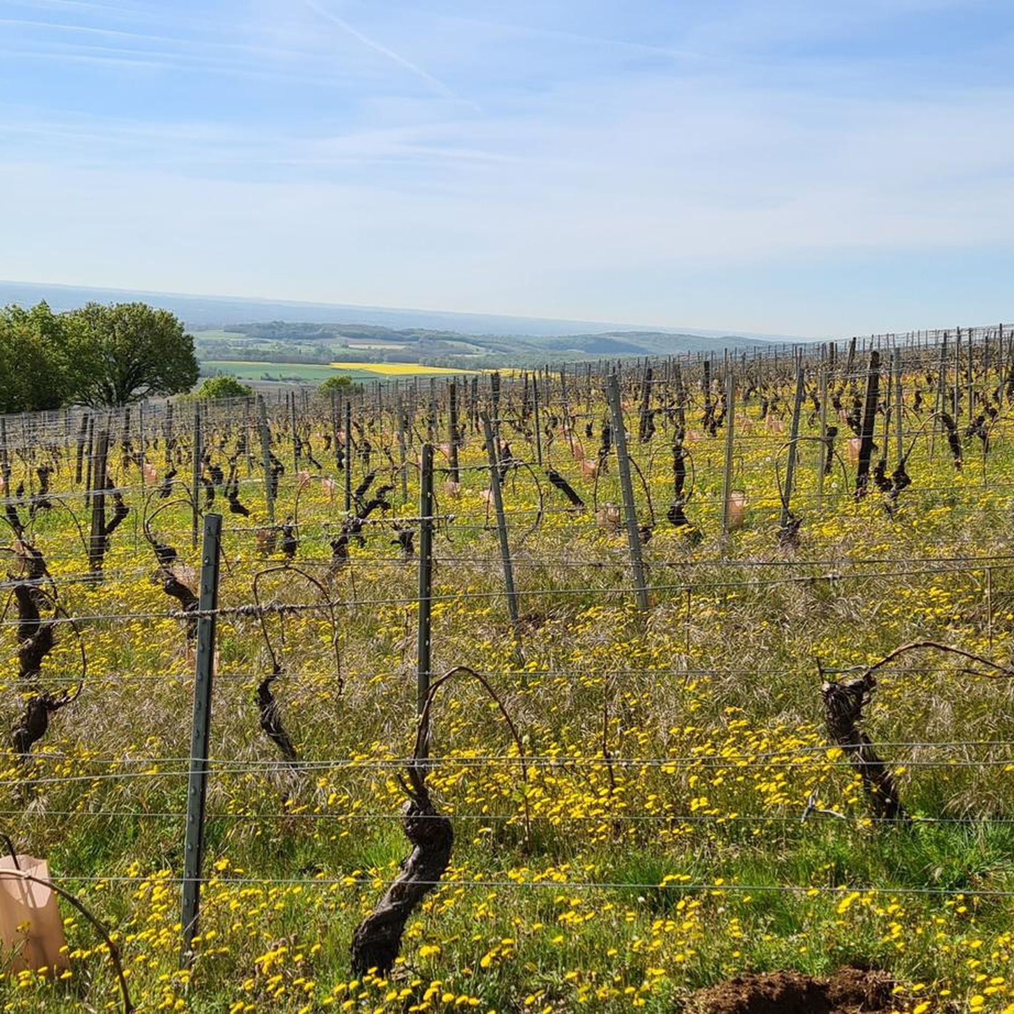
In this small town with its surrounding endless vineyards, everyone seems to live from viticulture.
1
0
The Romanesque church originally dates from the 11th to 12th centuries. It is a classic example of the early Romanesque art of the Haut-Mâconnais region. The nave, the choir, and the distinctive square bell tower are entirely preserved in this style. Over the centuries (in the Gothic period as well as in the 19th century) there were minor architectural changes. Monument protection: The building has been classified as an official French cultural monument (Monument historique) since 1979.
1
0

Beautiful Romanesque church, unfortunately closed
1
0

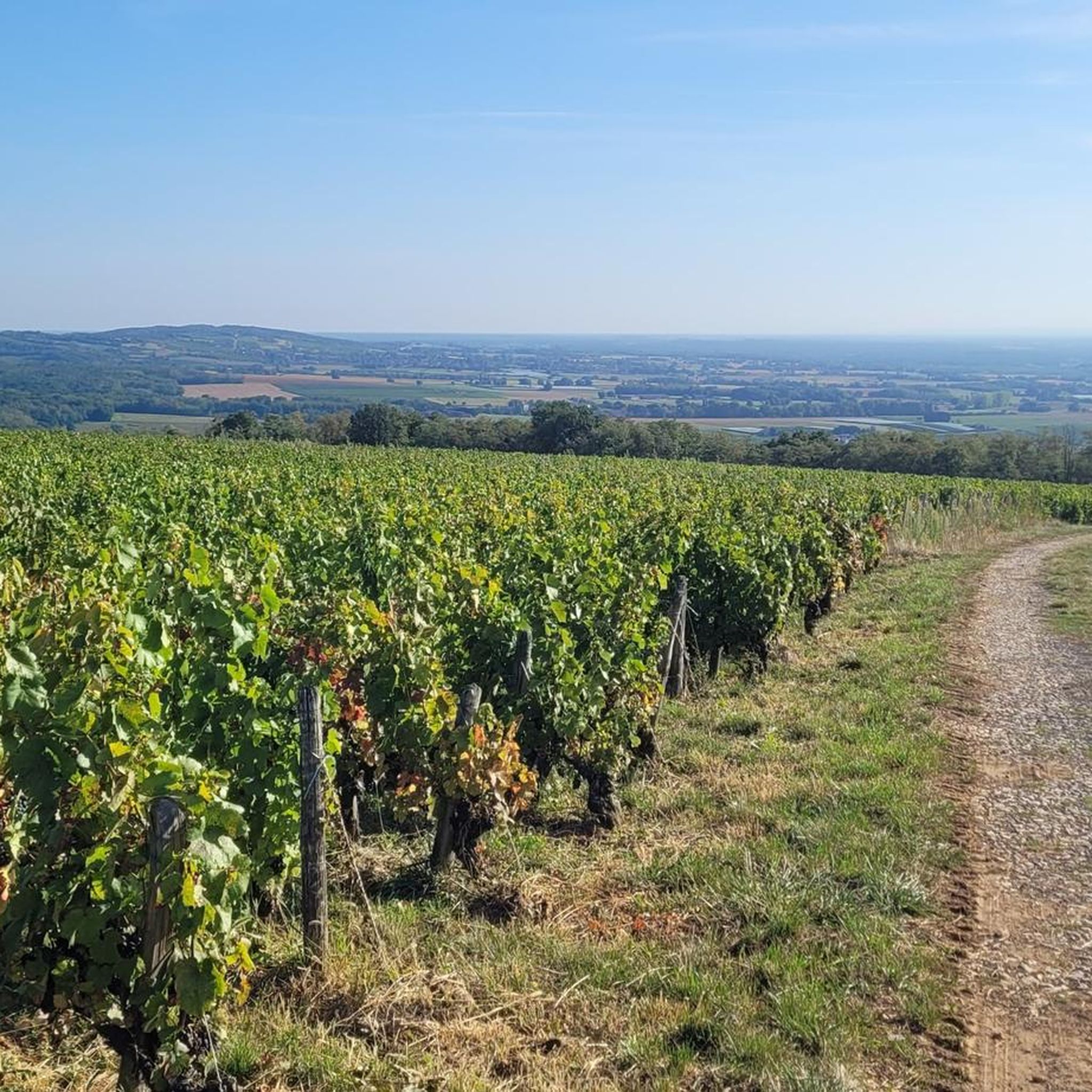
This Romanesque church is located on the heights of the commune of Burgy to which it is attached. It is said to have been built during the 12th century. Its position above the village allows it to open up pretty panoramas of the vineyards that surround it.
1
0
This small, typical Burgundian village is nestled in the middle of the vineyards. A few souls populate this world-famous town. Indeed, Chardonnay is the origin of the name given to the white grape variety grown on its land.
3
0

Nice place as a starting point for a visit to the place
0
0

Nice corners for a picnic 🧺
1
0

Watching the locks is always interesting.
3
0
Frequently Asked Questions
How many hiking trails are available around Montbellet?
Montbellet offers a wide variety of hiking opportunities, with over 120 routes recorded on komoot. These trails cater to all levels, from easy strolls to challenging ascents through diverse landscapes.
What types of terrain can I expect on hikes in Montbellet?
The Montbellet region features diverse terrain, including paths through the Mâconnais mountains, serene trails around tranquil lakes like Fleurville Lake, and scenic routes along river confluences. You'll find a mix of gentle paths and more challenging ascents, offering varied landscapes for exploration.
Are there any easy, family-friendly walks in Montbellet?
Yes, Montbellet has several easy trails suitable for families. An excellent option is the Fleurville lock loop from Fleurville, an easy 5.9 km path that provides a gentle walk around Fleurville Lake, perfect for a shorter outing with children.
Where can I find panoramic views in the Montbellet area?
For spectacular panoramic views, head to Mount Saint-Romain. This peak, part of the Mâconnais mountains, offers extensive vistas stretching across the Clunisois, Haut-Mâconnais, Saône valley, and Bresse region. On clear days, you might even spot the Jura and Alps in the distance.
Are there any circular hiking routes in Montbellet?
Many of the trails in Montbellet are designed as loops, offering convenient circular walks. For example, the Port of Pont-de-Vaux – Fleurville lock loop from Fleurville is a moderate 11.9 km route that provides beautiful views of the water and surrounding natural areas.
What do other hikers say about the trails in Montbellet?
The hiking routes in Montbellet are highly rated by the komoot community, with an average score of 4.6 stars from over 250 reviews. Hikers often praise the region's diverse landscapes, well-marked paths, and the variety of options available for different skill levels.
Are there any challenging hikes for experienced hikers?
Yes, for experienced hikers seeking a challenge, the Château de Brancion parking loop from Chardonnay is a difficult 27.5 km trail. This route includes significant elevation gain and leads through varied landscapes, typically taking around 7 hours and 46 minutes to complete.
What natural features can I explore along the hiking trails?
Beyond the mountains, you can explore tranquil spots like Fleurville Lake, which is ideal for wildlife observation and offers picnic facilities. The confluence of the Mouge and Saône Rivers, located between Tournus and Mâcon, is another scenic spot known for its natural beauty and popularity among fishermen.
Are there any historical landmarks near the hiking routes?
Yes, the region boasts historical landmarks. For instance, the difficult Château de Brancion parking loop from Chardonnay passes near Brancion Castle, offering a glimpse into the area's rich history amidst your hike.
What is the best time of year to go hiking in Montbellet?
Montbellet offers enjoyable hiking throughout much of the year due to its varied terrain. Spring and autumn provide pleasant temperatures and vibrant scenery, while summer is ideal for exploring lake and river areas. Even on clear winter days, the panoramic views from higher points like Mount Saint-Romain can be stunning.
Are there any shorter, easy loops for a quick walk?
Absolutely. If you're looking for a shorter, easy option, the Hiking loop from Viré is a great choice. This 4.2 km trail offers a gentle experience, perfect for a quick refreshing walk.
Can I find trails that combine water views with hiking?
Yes, many trails in Montbellet offer beautiful water views. The Fleurville Lock – Port of Pont-de-Vaux loop from Fleurville is a moderate 8.5 km route that takes you along the water, providing scenic vistas of the Saône River and its surroundings.
Most popular routes around Montbellet
Most popular attractions around Montbellet

Get inspired with the komoot mobile app


Explore more
Browse the best Hikes in other regions.
