The best walks and hikes around Châtin
4.4
(362)
1,601
hikers
132
hikes
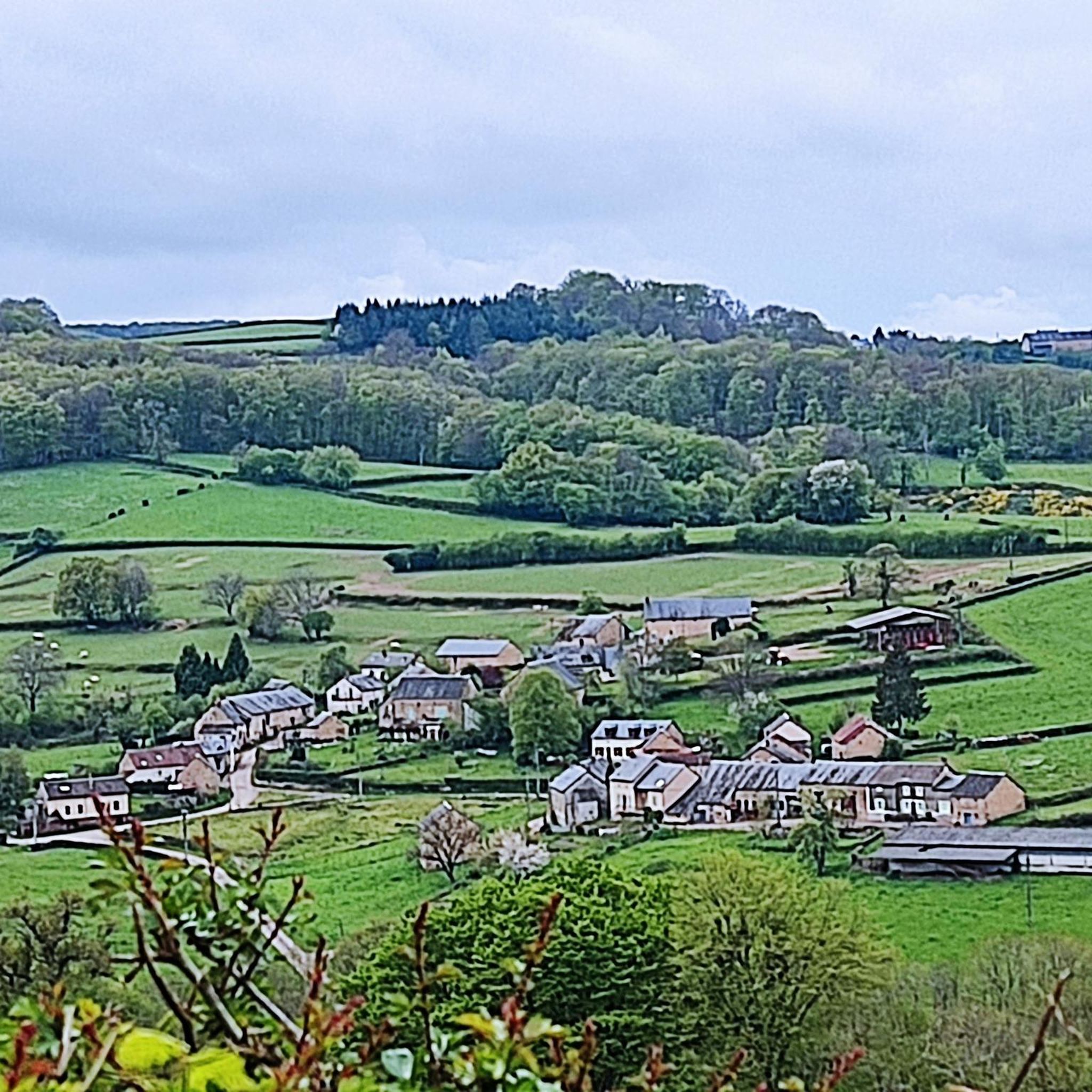
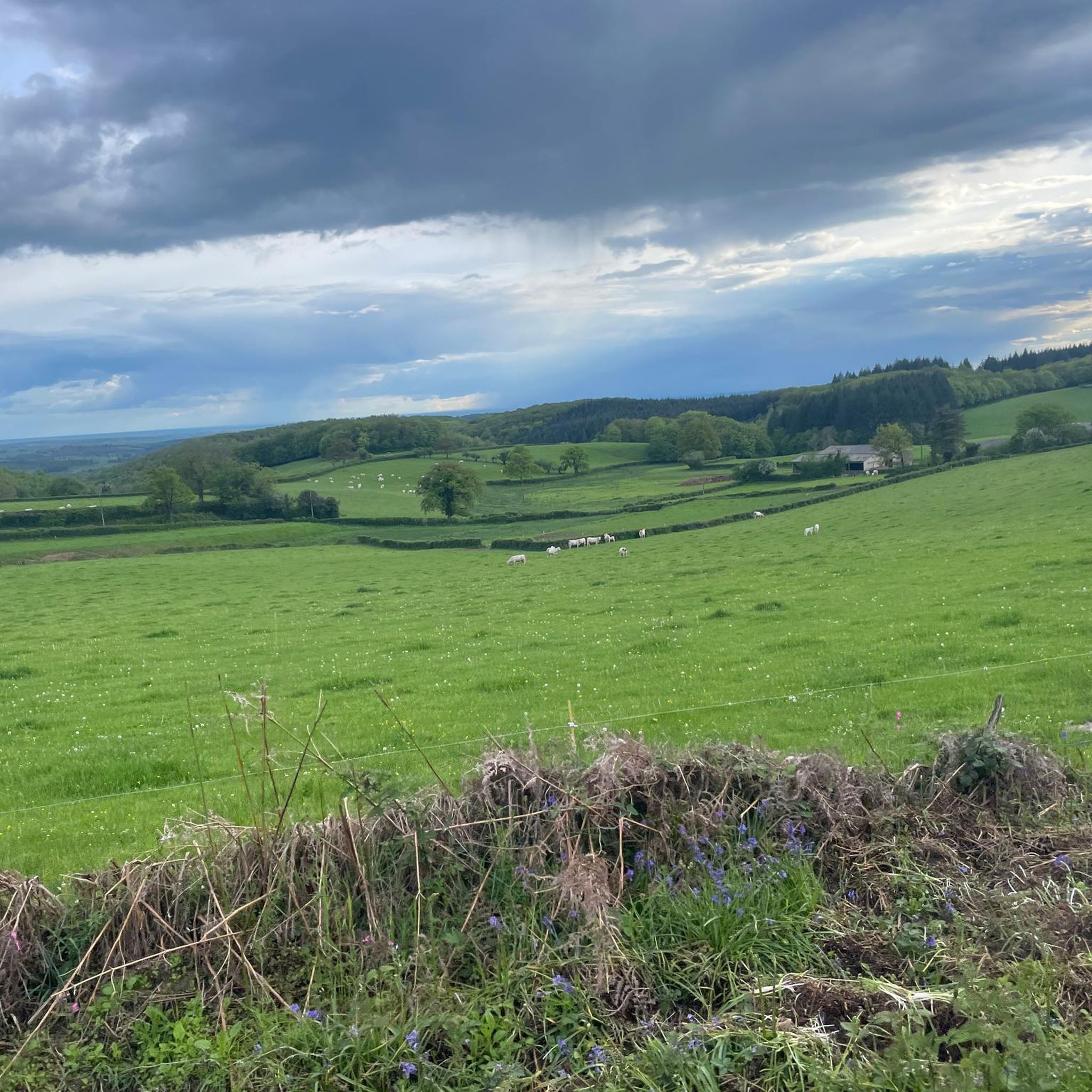
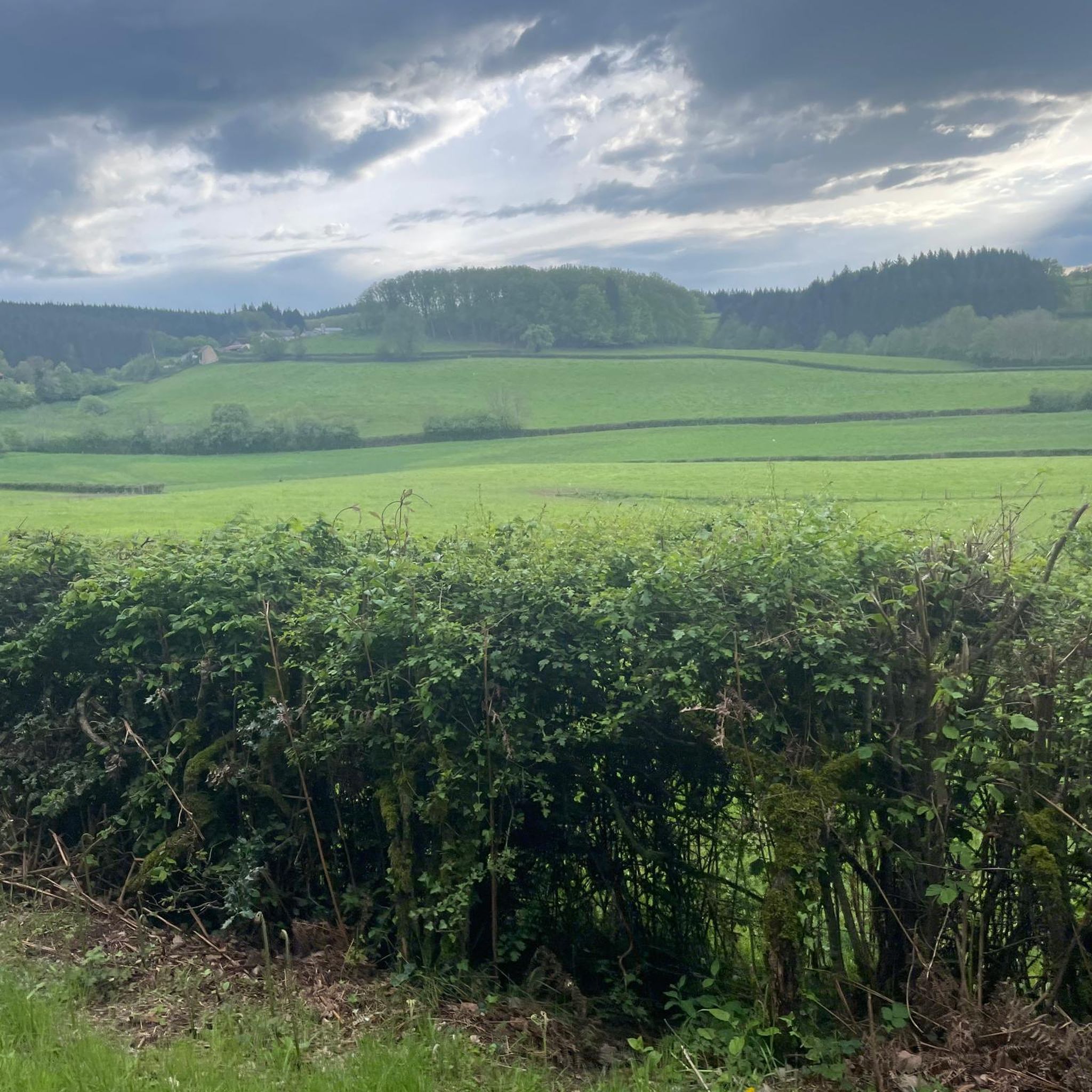
Hiking around Châtin offers diverse terrain within the Morvan Regional Natural Park, characterized by rolling hills, dense woodlands, and the presence of the Yonne River and Pannecière Reservoir. The landscape features varied elevations, providing both gentle paths and more challenging ascents. This area is known for its natural water features and forested sections, which define many of its hiking trails.
Best hiking trails around Châtin
- The most popular hiking route is Pont des Vouas over the Yonne – La Côte…
Last updated: July 6, 2026
4.7
(15)
45
hikers
Moderate hike. Good fitness required. Easily-accessible paths. Suitable for all skill levels.
4.2
(11)
45
hikers
Hard hike. Very good fitness required. Easily-accessible paths. Suitable for all skill levels.

Sign up for free
4.5
(4)
13
hikers
5.65km
01:36
120m
120m
Easy hike. Great for any fitness level. Easily-accessible paths. Suitable for all skill levels.
3.5
(2)
10
hikers
12.4km
03:38
340m
340m
Moderate hike. Good fitness required. Easily-accessible paths. Suitable for all skill levels.
4.0
(1)
5
hikers
7.46km
02:09
180m
180m
Moderate hike. Good fitness required. Easily-accessible paths. Suitable for all skill levels.
Get access to more routes and recommendations from other explorers.
Sign up for free
Already have an account?
Our route recommendations are based on thousands of hikes, rides, and runs completed by other people on komoot.
Start today with a free account
Your next adventure awaits.
Login or Signup
Tips from the Community


Beautiful little church. We didn't get to visit inside
0
0

Bridge over the Yonne at the end of Lake Panneciére with a nice view from both sides of the bridge.
0
0

Nice site relatively uncrowded. Very pleasant.
2
0


This tour will make you discover the secret beauties of our ''little Canada'' as we nicknamed our MORVAN. @ your Sneakers DAN''
0
0

Old railway line where with the right shoes it is possible to get off.
0
0

Pannecière lake is fed by the Yonne and its banks are passable by bike. The landscapes are magnificent in all seasons!
0
0
Frequently Asked Questions
How many hiking trails are available around Châtin?
There are over 120 hiking trails around Châtin, offering a wide range of options for different skill levels and preferences. This includes 55 easy routes, 58 moderate routes, and 7 more challenging paths.
Are there any easy, family-friendly hikes in the Châtin area?
Yes, Châtin offers several easy routes suitable for families. One popular option is the Hiking loop from Châtin, which is 3.5 miles (5.6 km) long and leads through local woodlands and hills, typically taking about 1 hour 36 minutes to complete.
What kind of natural attractions can I expect to see along the trails near Châtin?
Hiking around Châtin often features views of the Yonne River and the Pannecière Reservoir. You can also explore the area around the Pannecière reservoir lake, which is a prominent natural landmark. The trails traverse dense woodlands and rolling hills characteristic of the Morvan Regional Natural Park.
Are there any circular walks around Châtin?
Many of the trails around Châtin are designed as loops, allowing you to start and end at the same point. Examples include the Pont des Vouas over the Yonne – La Côte de La Morelle loop from Réservoir de Pannecière and the La Côte de La Morelle loop from Crues Aux Laides.
What do other hikers say about the trails in Châtin?
The routes in Châtin are highly regarded by the komoot community, holding an average rating of 4.4 stars from over 300 reviews. Hikers frequently praise the diverse terrain, the scenic reservoir views, and the peaceful forested sections.
Is Châtin a good place for dog-friendly walks?
The Morvan Regional Natural Park, where Châtin is located, generally welcomes dogs on trails, provided they are kept under control, especially to protect local wildlife and livestock. Always check specific trail regulations, but many of the natural paths are suitable for walks with your dog.
What is the best time of year to go hiking in Châtin?
Spring and autumn are often considered the best times for hiking in Châtin. Spring brings lush greenery and blooming wildflowers, while autumn offers vibrant foliage. Summer is also pleasant, though some trails might be busier. Winter hiking is possible, but conditions can be colder and some paths may be muddy or icy.
Are there any challenging hikes for experienced trekkers near Châtin?
Yes, for those seeking a more strenuous experience, there are difficult routes available. A notable challenging option is the Pannecière Dam – Yonne loop from Châtin, an extensive 14.0 miles (22.5 km) path that explores varied terrain around the Pannecière Dam and the Yonne valley.
What historical or cultural landmarks can be found near Châtin's hiking routes?
While hiking, you might encounter views of the Château-Chinon Town Center. Other points of interest in the broader area include the Chapelle du Banquet (Notre-Dame du Morvan) and the unique Stravinsky Fountain.
Is public transport available to reach hiking trailheads around Châtin?
Châtin is situated within a rural area of the Morvan Regional Natural Park. Public transport options directly to specific trailheads may be limited. It is generally recommended to travel by car to access the starting points of most hiking routes, though some local bus services might connect larger villages.
Where can I find parking for hiking trails in Châtin?
Parking is typically available at or near the starting points of many popular hiking trails and in the villages surrounding Châtin. For example, routes like the View of Chateau-Chinon – Maison-Comte Church loop from Le Bois Brûlé often have designated parking areas in nearby hamlets or at specific viewpoints.
Most popular attractions around Châtin

Get inspired with the komoot mobile app


Explore more
Browse the best Hikes in other regions.
