The best road cycling routes around Sainte-Opportune
4.3
(9)
614
riders
122
rides
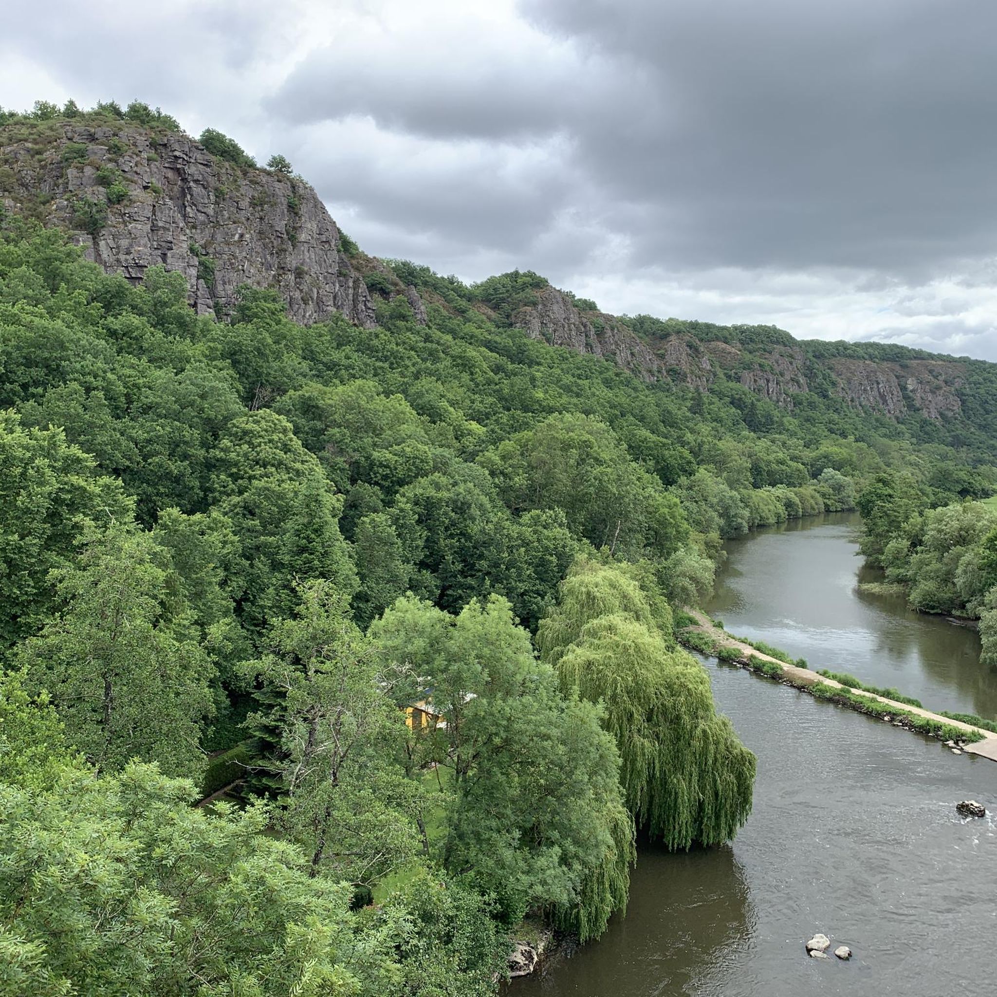
Road cycling around Sainte-Opportune offers a diverse landscape characterized by rolling hills, dense woodlands, and scenic river valleys. The region features varied terrain, from gentle ascents to more challenging climbs, making it suitable for different skill levels. Road cycling routes near Sainte-Opportune often traverse rural roads, passing through small villages and alongside natural features like the Col du signal de Charlemagne and La Roche d'Oëtre.
Best road cycling routes around Sainte-Opportune
- The most popular road cycling route is Notre-Dame Church…
Last updated: July 19, 2026
13
riders
Easy road ride. Great for any fitness level. Mostly well-paved surfaces and easy to ride.
14
riders
104km
04:34
1,040m
1,040m
Hard road ride. Very good fitness required. Mostly well-paved surfaces and easy to ride.

Sign up for free
9
riders
62.5km
02:55
750m
750m
Moderate road ride. Good fitness required. Mostly well-paved surfaces and easy to ride.
8
riders
28.7km
01:16
210m
210m
Easy road ride. Great for any fitness level. Mostly well-paved surfaces and easy to ride.
6
riders
37.1km
01:49
570m
570m
Moderate road ride. Good fitness required. Mostly well-paved surfaces and easy to ride.
Get access to more routes and recommendations from other explorers.
Sign up for free
Already have an account?
Our route recommendations are based on thousands of hikes, rides, and runs completed by other people on komoot.
Start today with a free account
Your next adventure awaits.
Login or Signup




Tips from the Community

An artificial pool situated in a wild and beautiful landscape, surrounded by forests. Supervised swimming is possible.
0
0

The town has two old market halls dating back to the 17th and 18th centuries. While one of them has been closed for renovation into a community hall, the second has remained open and hosts local events and hikers looking for a pleasant spot to picnic and rest.
0
0

For those who are fond of mountainous landscapes in Normandy: the Suisse Normande.
0
0

2 small halls converted into a rest area for a well-deserved break
0
0


Nice little cafe/epicerie in centre of town, open on Sunday (in August at least)
0
0
Gardens open Monday to Friday in summer, closed for lunch - check website
0
0

There was already a church in Bellou-en-Houlme in 1053, when the building was donated by Guillaume de la Ferté-Macé to the Abbey of Saint-Julien in Tours. The bell tower-porch appears to be of Romanesque origin, having been built in the 11th century and then remodeled in the 12th century. Several architectural elements bear witness to this: "the semicircular arches, the small round interior door above the gallery, the narrow openings of the bell tower, the modillions bordering the dripstone" recall the 11th century, while "the pointed arches which are inscribed in the semicircular arches and especially the underside of the tower where the tore-shaped arcades intersect, each ending in a abacus" (Le Pays Bas-Normand, 1962 n°2) show that the tower was modified at the end of the 12th century. The rest of the building was largely transformed during the first half of the 18th century, as indicated by the date 1718 inscribed on the lintel of the door of the south arm of the transept and that of 1749, inscribed on the lintel of one of the south bays of the chevet. The church was originally surrounded by a cemetery, transferred outside the town in 1840.
0
0
Frequently Asked Questions
How many road cycling routes are available around Sainte-Opportune?
There are over 120 road cycling routes available around Sainte-Opportune, offering a wide range of options for different skill levels and preferences.
What is the general difficulty level of road cycling in Sainte-Opportune?
Sainte-Opportune offers a diverse range of road cycling routes. You'll find options from easy, gentle rides to more challenging routes with significant climbs. Specifically, there are 26 easy routes, 95 moderate routes, and 7 difficult routes to explore.
Are there any easy road cycling routes suitable for beginners?
Yes, beginners can enjoy several easy routes. One popular option is the Notre-Dame Church – Col du signal de Charlemagne loop from Bellou-en-Houlme, which is 9.9 miles (15.9 km) long with moderate elevation changes. Another accessible choice is the Roadbike loop from Landigou.
Are there challenging road cycling routes for experienced cyclists?
Experienced cyclists looking for a challenge will find several difficult routes. A notable one is the Col du signal de Charlemagne – Chapelle de Longuenoe loop from Bellou-en-Houlme, which spans 64.6 miles (104.0 km) and features significant climbs and descents, offering expansive views.
What kind of scenery and landmarks can I expect along the road cycling routes?
Road cycling routes around Sainte-Opportune traverse diverse landscapes including rolling hills, dense woodlands, and scenic river valleys. You can encounter natural features like the Col du signal de Charlemagne and the impressive La Roche d'Oëtre. Other points of interest include the Rabodanges Castle and the Path along the Rouvre.
Are there any circular road cycling routes in the area?
Yes, many of the road cycling routes around Sainte-Opportune are designed as loops, allowing you to start and finish at the same point. Examples include the La Roche d'Oëtre – La Carneille loop from Chênedouit and the Rabodanges – Lake Rabodanges loop from Chênedouit.
What do other road cyclists say about the routes in Sainte-Opportune?
The road cycling routes in Sainte-Opportune are highly regarded by the komoot community, with an average rating of 4.2 stars from over 9 reviews. Cyclists often praise the varied terrain, from gentle ascents to challenging climbs, and the scenic beauty of the region's woodlands and river valleys.
What are the typical distances for road cycling routes in Sainte-Opportune?
Route distances vary significantly. You can find shorter loops like the 9.9-mile (15.9 km) Notre-Dame Church – Col du signal de Charlemagne loop, as well as much longer rides such as the 64.6-mile (104.0 km) Col du signal de Charlemagne – Chapelle de Longuenoe loop, catering to different endurance levels.
Are there any interesting villages or towns to explore along the routes?
Yes, many routes pass through charming local villages. For instance, the La Roche d'Oëtre – La Carneille loop leads through hilly terrain and past the charming village of La Carneille, offering opportunities to experience local life.
What kind of natural features define the road cycling experience in Sainte-Opportune?
The region is characterized by its rolling hills, dense woodlands, and picturesque river valleys. Cyclists will encounter natural landmarks such as the Col du signal de Charlemagne and the dramatic rock formations at La Roche d'Oëtre, providing a scenic and varied backdrop for rides.
Most popular routes around Sainte-Opportune
Most popular attractions around Sainte-Opportune

Get inspired with the komoot mobile app


Explore more
Browse the best Road cycling routes in other regions.
