The best road cycling routes around Valbeleix
4.7
(138)
4,128
riders
92
rides
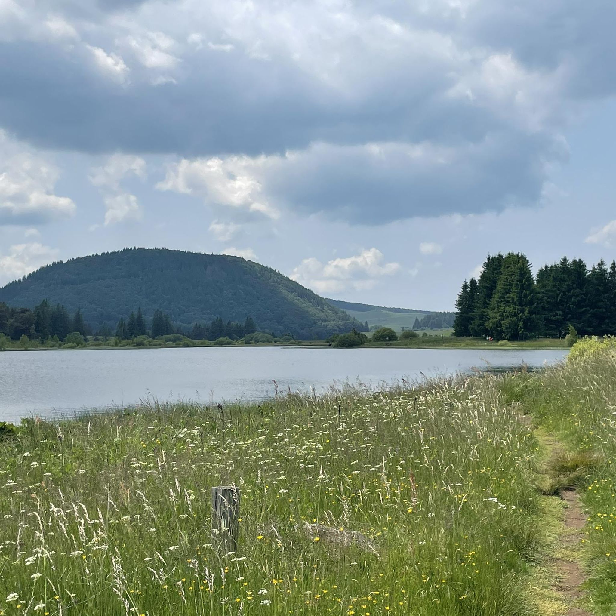
Road cycling around Valbeleix, situated in France's Auvergne region, offers diverse terrain across volcanic landscapes. The area is characterized by its proximity to the vast basaltic Cézallier plateau and the Sancy Massif, featuring rolling hills and mountain streams. Road cyclists can expect varied routes through middle mountain areas, encompassing both challenging climbs and scenic, less-trafficked roads. The region's geological history provides a unique cycling environment with panoramic views.
Best road cycling routes around Valbeleix
- The most popular road cycling route…
Last updated: July 15, 2026
24
riders
64.3km
03:21
1,100m
1,090m
Hard road ride. Very good fitness required. Mostly well-paved surfaces and easy to ride.
10
riders
144km
07:20
2,480m
2,480m
Hard road ride. Very good fitness required. Mostly well-paved surfaces and easy to ride.

Sign up for free
11
riders
36.0km
01:50
620m
620m
Moderate road ride. Good fitness required. Mostly well-paved surfaces and easy to ride.
5.0
(1)
17
riders
26.6km
01:17
390m
390m
Moderate road ride. Good fitness required. Mostly well-paved surfaces and easy to ride.
7
riders
34.2km
02:02
800m
800m
Moderate road ride. Good fitness required. Mostly well-paved surfaces and easy to ride.
Get access to more routes and recommendations from other explorers.
Sign up for free
Already have an account?
Our route recommendations are based on thousands of hikes, rides, and runs completed by other people on komoot.
Start today with a free account
Your next adventure awaits.
Login or Signup
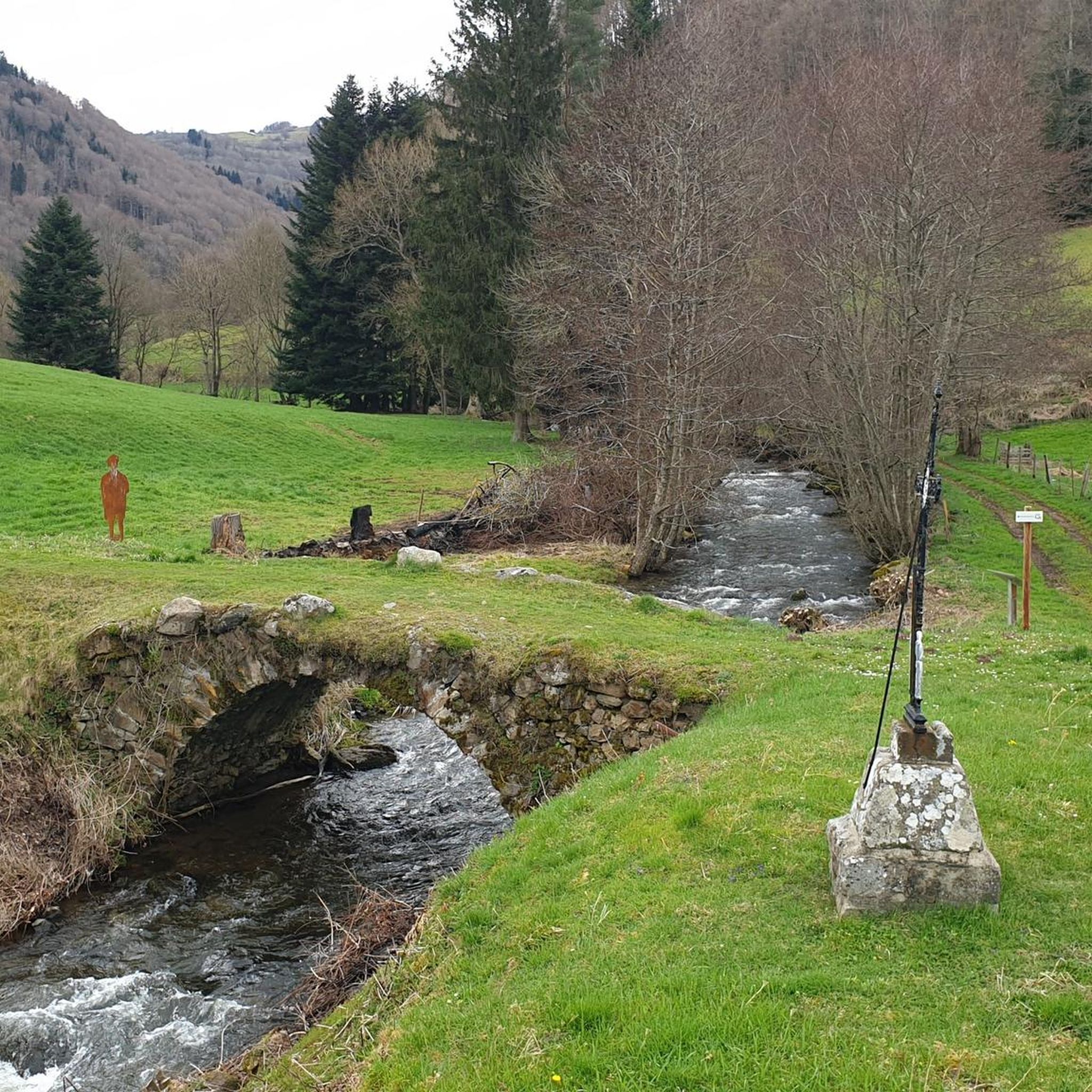
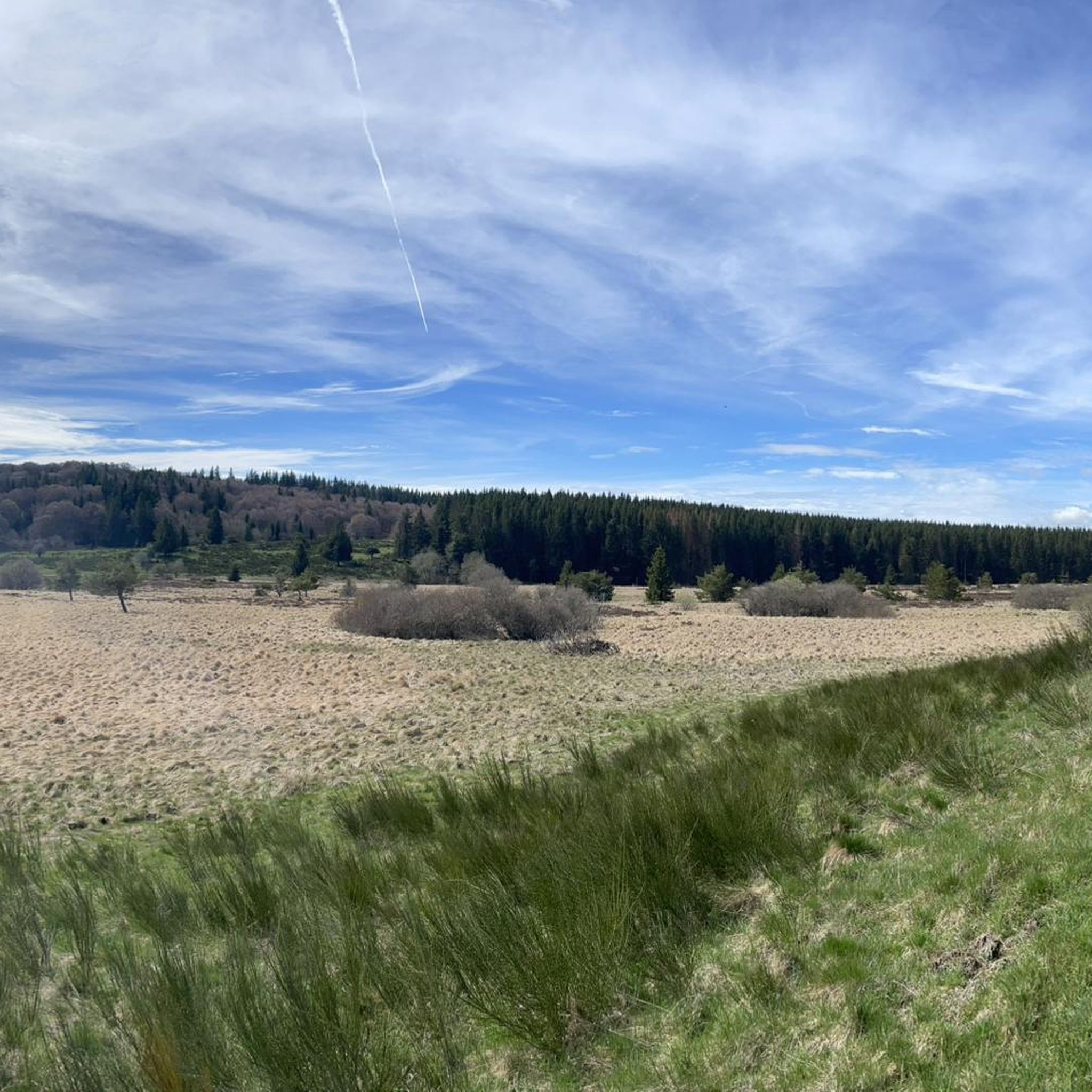
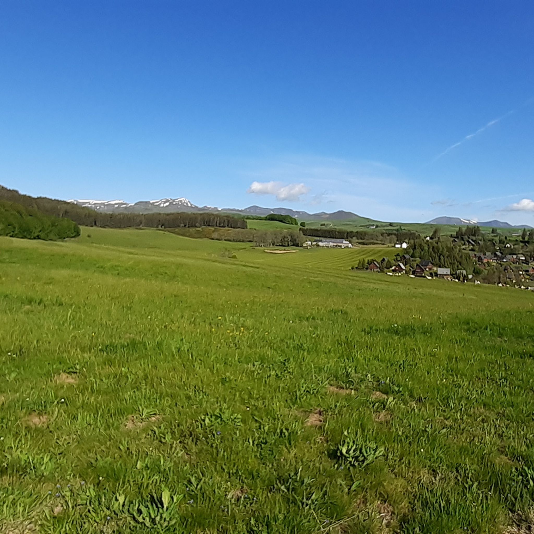
Tips from the Community


very pretty pass typical of Cezallier
1
0

Why didn't you make the Luguet signal? You have to go through Parrot... a place called. After the GR path... to the Luguet woods.
0
0
Not too difficult, I did it on a mountain bike.
0
0

Nice little bustling place. Luckily the weather wasn't so good, otherwise there would definitely be more going on. More info: https://de.wikipedia.org/wiki/Murol?wprov=sfla1.
0
0

Beautiful little pass from Besse, beautiful descent to Valbeleix
0
0
Very pretty town center. A must-see.
0
0
Frequently Asked Questions
How many road cycling routes are available around Valbeleix?
There are over 100 road cycling routes available around Valbeleix, offering a wide range of options for different skill levels. You'll find everything from moderate loops to more challenging climbs through the region's diverse landscapes.
What kind of terrain can I expect when road cycling in Valbeleix?
Road cycling in Valbeleix offers varied terrain, characterized by its volcanic landscapes and proximity to the vast basaltic Cézallier plateau and the Sancy Massif. You can expect rolling hills, some challenging climbs, and scenic roads through forests and alongside mountain streams. The region is known as a 'middle mountain area' with pure, unspoilt beauty.
Are there challenging climbs for experienced road cyclists in the Valbeleix area?
Yes, experienced road cyclists will find challenging climbs. The La Couze, Springs Circuit – Col des Paouvins (1144 m) loop from Saint-Diéry includes a significant ascent. Additionally, the climb to Col de Saint-Anastaise, directly accessible from Valbeleix, is a Category 2 climb covering 4.98 km with an average gradient of 7.84%, ascending 391 meters.
What are some scenic viewpoints or natural features to look out for on road cycling routes near Valbeleix?
Many routes offer panoramic views, especially across the Cézallier plateau, extending to the Sancy and Cantal massifs. The Roche Nité, a 'lava tooth' on the Chavade plateau, provides incredible landscapes and views over the Valbeleix valley. You'll also encounter the serene Couze de Valbeleix mountain stream and various volcanic formations.
Are there any historical landmarks or attractions accessible by road bike around Valbeleix?
Yes, you can discover several interesting spots. A charming old Gallo-Roman bridge crosses the Couze de Valbeleix, offering a tranquil break. Routes like the Château de Murol – Saillant Waterfall loop from Saint-Diéry pass by historical sites such as Murol. The region's rich history is often intertwined with its natural beauty.
Can I find longer distance road cycling routes that pass through Valbeleix?
Valbeleix is integrated into larger cycling networks. A section of 'La Grande Traversée du Volcan à Vélo' (The Great Volcano Crossing by Bike) travels through the Cézallier, offering beautiful roads with gentle slopes alongside the Couze de Valbeleix. This route showcases the transition between the Sancy and Cézallier massifs. You can find more information on this route at francevelotourisme.com.
What do other cyclists say about road cycling in Valbeleix?
The road cycling routes around Valbeleix are highly rated by the komoot community, with an average score of 4.7 stars from over 200 reviews. Cyclists often praise the varied terrain, the pure and unspoilt beauty of the volcanic landscapes, and the less-trafficked roads that offer a peaceful riding experience.
Are there any family-friendly road cycling options near Valbeleix?
While many routes feature climbs, some sections offer gentler slopes, particularly along the Couze de Valbeleix. For easier rides, look for routes described as 'moderate' or those with lower elevation gains. The broader Auvergne-Rhône-Alpes region also features greenways reserved for non-motorized transport, which can be suitable for families, though specific family-friendly road cycling routes directly from Valbeleix might require careful selection.
What is the best time of year to go road cycling in Valbeleix?
The best time for road cycling in Valbeleix is typically during the warmer months, from late spring to early autumn. This period offers more favorable weather conditions for tackling the region's varied terrain and enjoying the panoramic views. Summers are generally pleasant, but always check local weather forecasts before heading out.
Are there any routes that pass by lakes or water features?
Yes, several routes in the vicinity of Valbeleix offer views of beautiful lakes and water features. For example, the Besse – Lake Bourdouze loop from Compains passes by a lake. Other notable lakes in the area include Lake Pavin, Lac Chambon, and Lac Chauvet, which are popular highlights in the region.
Are there moderate routes that offer a good balance of challenge and scenery?
Absolutely. Many routes around Valbeleix are classified as moderate, providing a great balance. The La Godivelle – La Godivelle loop from Valbeleix is a popular moderate trail that leads through the scenic area around the village of La Godivelle, offering both engaging cycling and beautiful views without being overly strenuous.
Where can I find parking for road cycling routes in Valbeleix?
Valbeleix is a small village, and parking is generally available within or near the village center. For specific routes starting from nearby towns like Saint-Diéry, you would typically find parking in the village itself. It's always a good idea to check local signage for designated parking areas, especially in smaller communities.
Most popular attractions around Valbeleix

Get inspired with the komoot mobile app


Explore more
Browse the best Road cycling routes in other regions.
