The best running trails around Verberie
4.1
(28)
901
runners
28
runs
Jogging around Verberie offers access to varied terrain within the Oise region of France. The area is characterized by the expansive Halatte Forest, providing numerous trails through diverse woodlands. The Oise River and Autumn Valley offer picturesque riverside paths, while Mont Pagnotte, within the forest, presents opportunities for elevated views. This blend of forest, river, and gentle hills creates a dynamic environment for running.
Best jogging routes around Verberie
- The most popular jogging route is Running loop from Verberie,…
Last updated: June 30, 2026
4.0
(1)
30
runners
9.69km
01:00
20m
20m
Moderate run. Good fitness required. Mostly paved surfaces. Suitable for all skill levels.
19
runners
22.7km
02:25
50m
50m
Hard run. Very good fitness required. Mostly paved surfaces. Suitable for all skill levels.

Sign up for free
10
runners
18.8km
02:03
80m
80m
Hard run. Very good fitness required. Mostly paved surfaces. Suitable for all skill levels.
4.0
(1)
9
runners
6.26km
00:39
20m
20m
Moderate run. Good fitness required. Mostly paved surfaces. Suitable for all skill levels.
4.0
(4)
10
runners
10.5km
01:13
50m
50m
Moderate run. Good fitness required. Mostly paved surfaces. Suitable for all skill levels.
Get access to more routes and recommendations from other explorers.
Sign up for free
Already have an account?
Our route recommendations are based on thousands of hikes, rides, and runs completed by other people on komoot.
Start today with a free account
Your next adventure awaits.
Login or Signup
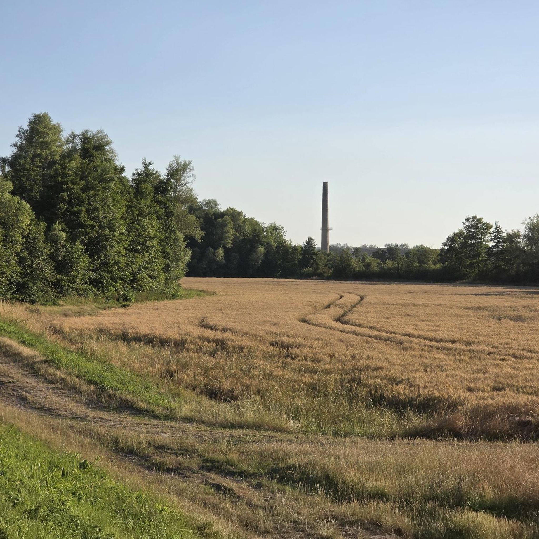
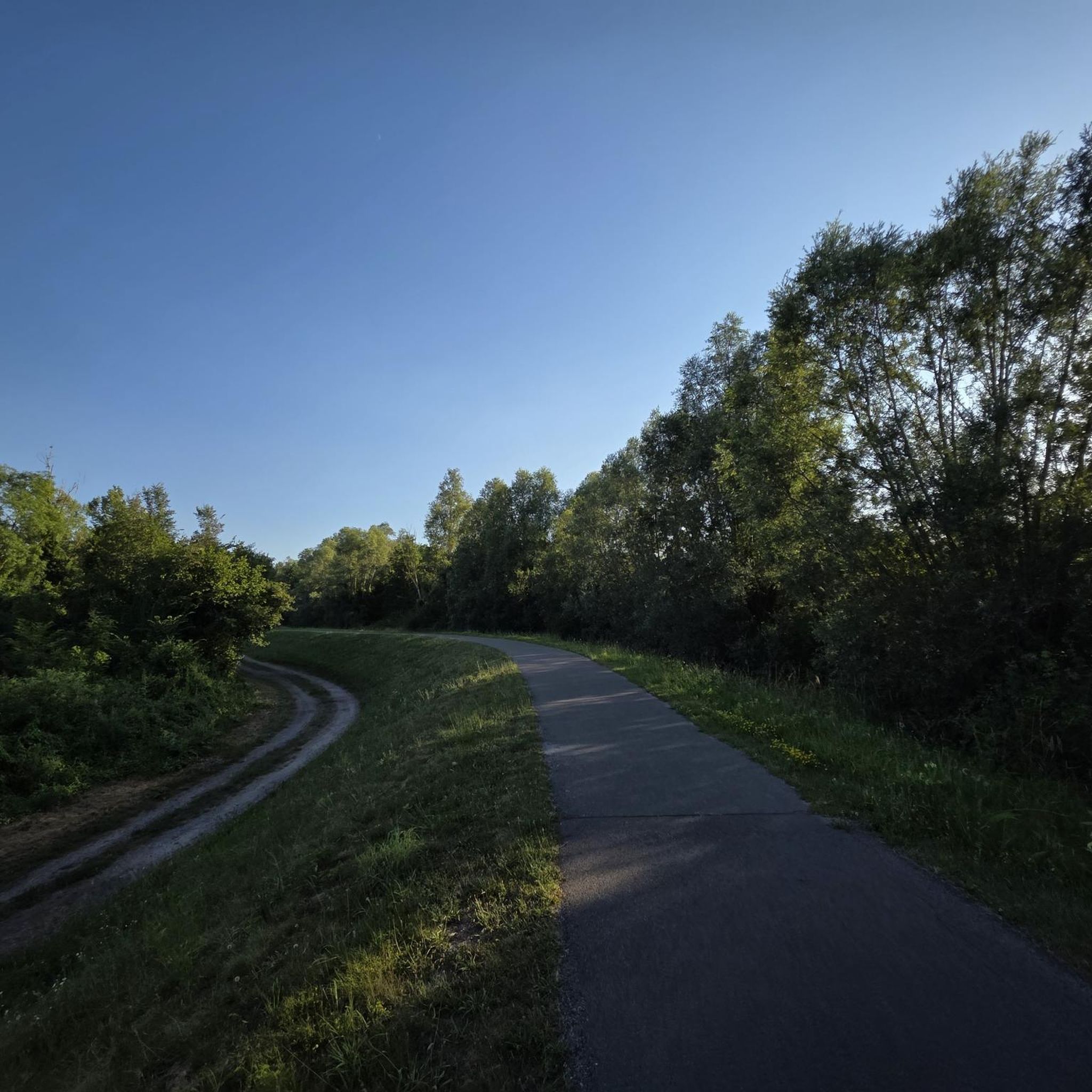
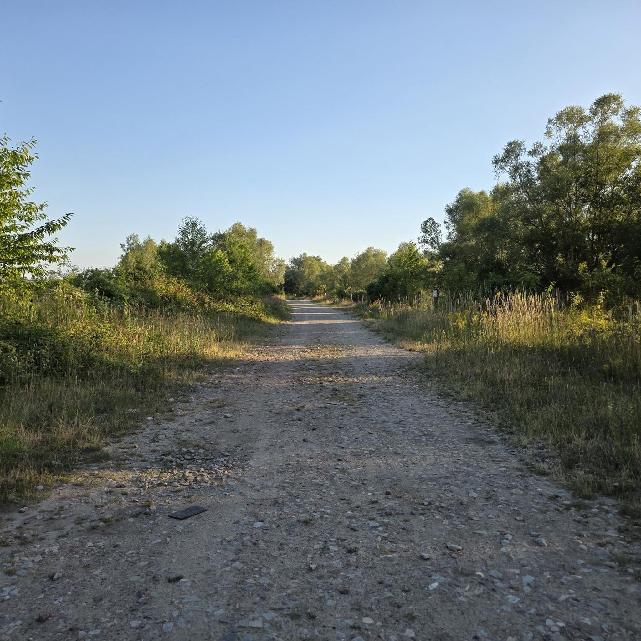

Tips from the Community


A lovely section of trail through the ponds. It's well-surfaced and very quiet.
2
0

Take good tires and provisions with you
1
0

The Jaux footbridge can be crossed on foot or by non-motorized two-wheeler. It offers a beautiful panoramic view of the Oise and the quays of the pier.
0
0


Beautiful cycle path between the Oise and the ponds.
1
0

Part of the wonderfully quiet and completely car-free cycle path along the l'Oise river between Verberie and Compiegne. The perfect way to cycle through the quiet nature without too many meters of altitude. South of Verberie the path along the river ends.
2
0
Frequently Asked Questions
How many running routes are available around Verberie?
There are over 20 running routes around Verberie listed on komoot, offering a variety of distances and difficulties. These include trails through the expansive Halatte Forest and along the picturesque Oise River.
What kind of terrain can I expect on the running trails in Verberie?
The running trails in Verberie offer a diverse mix of terrain. You'll find extensive paths through the magnificent Halatte Forest, picturesque riverside routes along the Oise River in the Autumn Valley, and gentle ascents towards points like Mont Pagnotte, the highest point in Valois. The region is known for its blend of woodlands, open fields, and green spaces.
Are there running routes suitable for beginners in Verberie?
Yes, Verberie offers several routes suitable for beginners. While most routes are moderate, there are at least 3 easy running trails available. These typically feature gentler gradients and shorter distances, perfect for those new to running or looking for a relaxed jog.
What do other runners say about the trails in Verberie?
The running routes in Verberie are highly rated by the komoot community, with an average score of 4.1 stars from over 17 reviews. More than 900 runners have explored the area, often praising the quiet woodlands, scenic river paths, and the variety of options for different fitness levels.
Are there any circular running routes in the Verberie area?
Yes, many of the running routes around Verberie are circular, allowing you to start and finish at the same point. For example, you can try the Château d'Aramont loop from Verberie, a moderate 6.3 km (3.9 miles) trail, or the longer Château du Soupiseau loop from Zone d'Activités, which is about 10.5 km (6.5 miles).
Can I bring my dog on the running trails in Verberie?
Many natural areas and forest trails around Verberie are generally dog-friendly, especially within the Halatte Forest. However, it's always advisable to keep your dog on a leash, particularly in protected areas or near wildlife, and to check local regulations for specific routes or parks.
Are there any family-friendly running paths in Verberie?
Yes, Verberie has green spaces and riverside paths that are suitable for families. The commune is recognized for its parks and public gardens, which offer tranquil settings. For a gentle jog, consider paths along the Oise River, which are often flatter and provide opportunities to observe local wildlife.
What are some scenic points or landmarks I can see while running in Verberie?
While running in Verberie, you can encounter several scenic points and historical landmarks. The Halatte Forest itself is a major natural attraction. You might also pass by historical sites such as the Royal Abbey of Moncel or the ruins of Montépilloy Castle, which offer interesting backdrops to your run. The Mont Pagnotte viewpoint within the forest provides panoramic views.
Are there challenging running routes for experienced runners?
Yes, Verberie offers challenging options for experienced runners, particularly within the Halatte Forest and routes that incorporate more elevation. For instance, the Trans'Oise green route loop from Verberie is a difficult 18.8 km (11.7 miles) trail with notable elevation changes, often completed in over 2 hours.
Are there running routes accessible by public transport in Verberie?
Verberie is a commune, and while specific route starting points might require a short walk from public transport stops, many routes are accessible from the town center. It's best to check local bus schedules to plan your access to the starting points of trails within or just outside the town.
Are there any running routes that offer views of the Oise River?
Absolutely. Verberie is situated near the banks of the Oise River within the Autumn Valley, providing picturesque riverside paths perfect for running. These routes offer tranquil views of the water and opportunities to observe local aquatic wildlife.
What is the longest running route available in Verberie?
One of the longer running routes is the Trans'Oise green route loop from Verberie, which spans 18.8 km (11.7 miles). This challenging trail takes you through the Autumn Valley and is a great option for those looking for a longer endurance run.
Most popular attractions around Verberie

Get inspired with the komoot mobile app


Explore more
Browse the best Running Trails & Routes in other regions.
