The best walks and hikes around Les Brulais
4.4
(81)
475
hikers
45
hikes
Hiking around Les Brulais offers diverse experiences across an undulating natural landscape. The area features traditional bocage with extensive hedgerows and is drained by the Aff river, which flows through wetlands and valleys. This rural commune provides varied terrain for hikers, ranging from 27 to 91 meters in elevation. Its proximity to the legendary Brocéliande Forest further enhances the hiking opportunities.
Best hiking trails around Les Brulais
- The most popular hiking route is Guer loop from Guer, a 7.6…
Last updated: July 4, 2026
4.5
(2)
18
hikers
12.0km
03:11
110m
110m
Moderate hike. Good fitness required. Easily-accessible paths. Suitable for all skill levels.
5.0
(1)
16
hikers
7.73km
02:03
70m
70m
Moderate hike. Good fitness required. Easily-accessible paths. Suitable for all skill levels.

Sign up for free
3.0
(1)
15
hikers
10.7km
02:53
130m
130m
Moderate hike. Good fitness required. Easily-accessible paths. Suitable for all skill levels.
3.0
(2)
14
hikers
5.76km
01:32
60m
60m
Easy hike. Great for any fitness level. Easily-accessible paths. Suitable for all skill levels.
5.0
(1)
5
hikers
12.7km
03:22
120m
120m
Moderate hike. Good fitness required. Easily-accessible paths. Suitable for all skill levels.
Get access to more routes and recommendations from other explorers.
Sign up for free
Already have an account?
Our route recommendations are based on thousands of hikes, rides, and runs completed by other people on komoot.
Start today with a free account
Your next adventure awaits.
Login or Signup


Tips from the Community

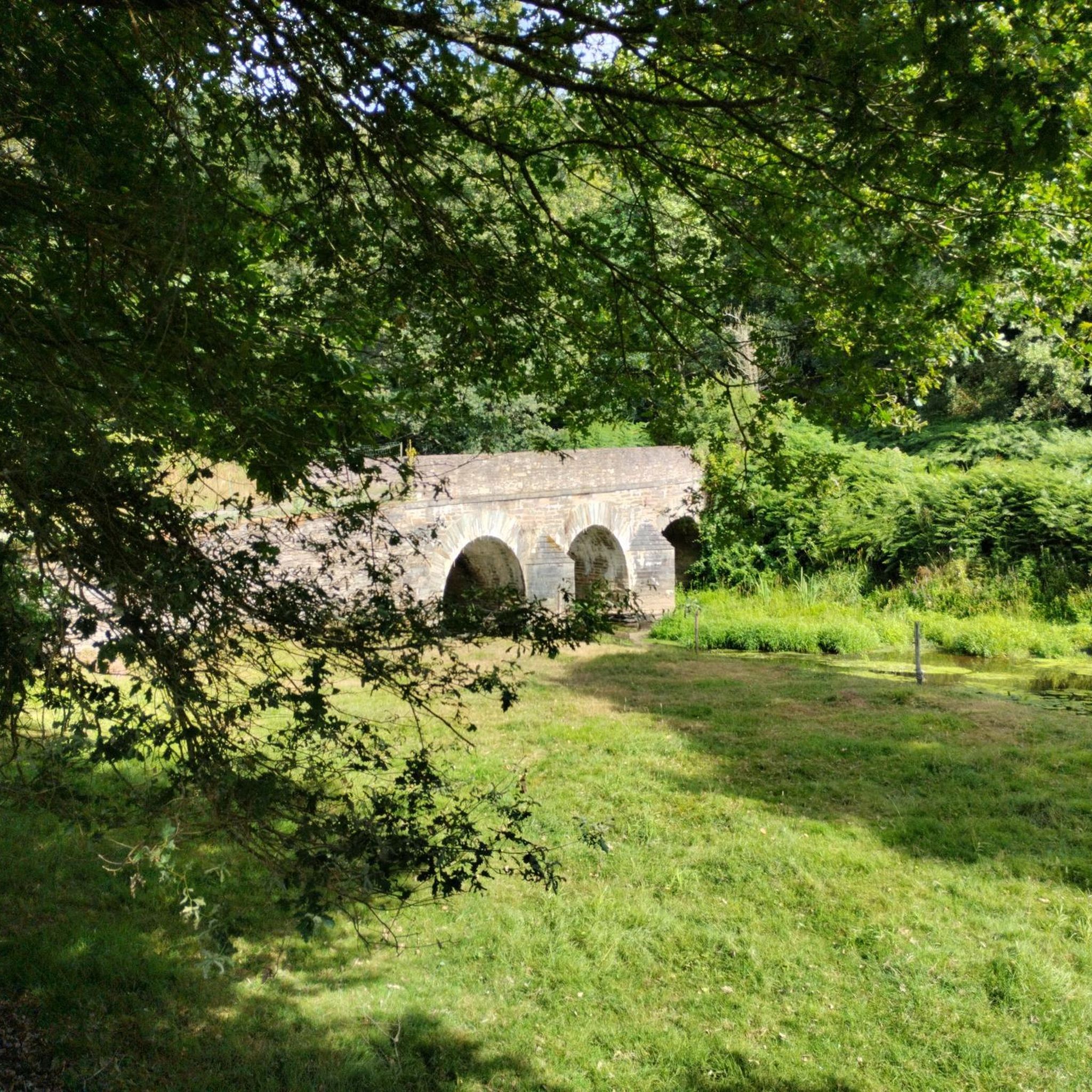
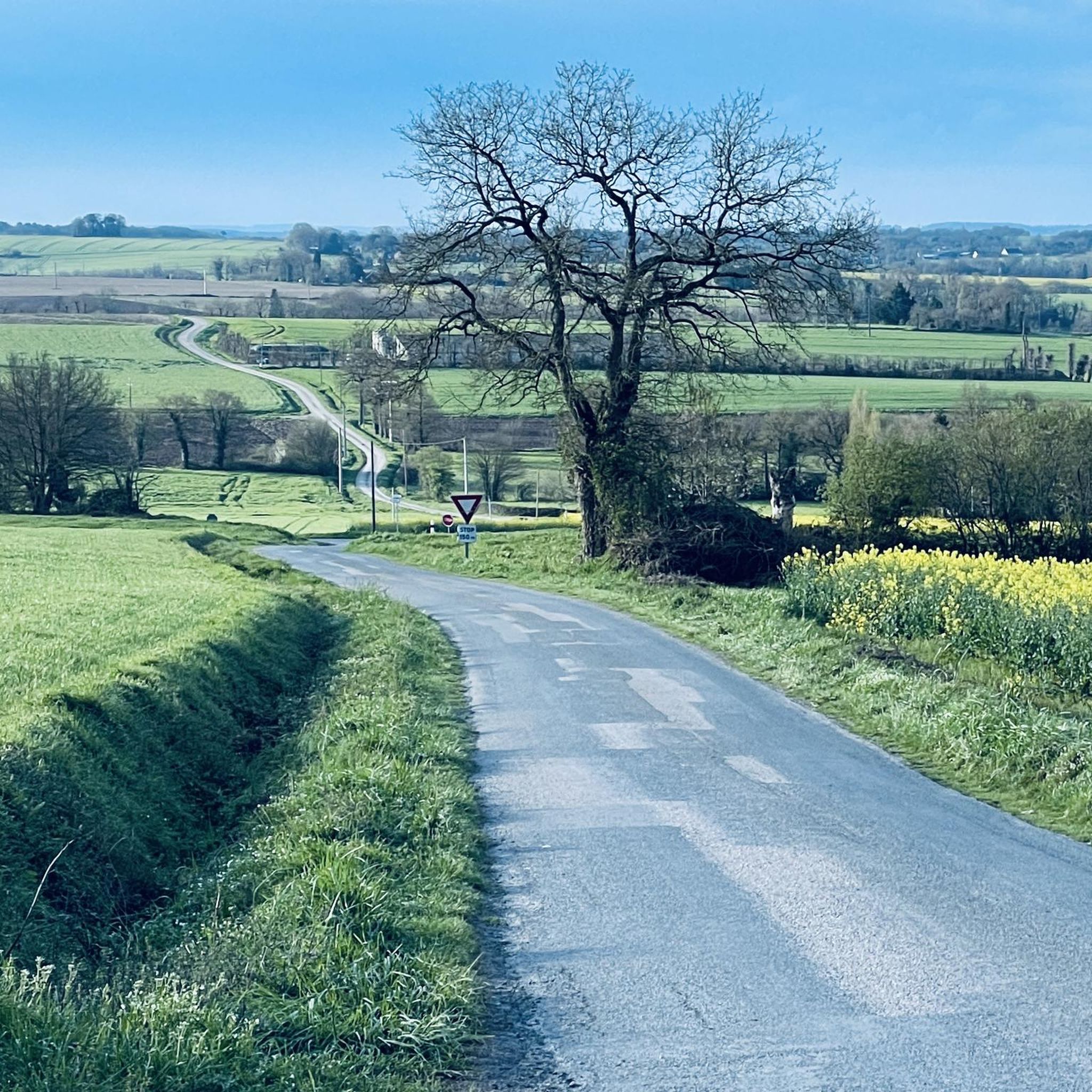
From there, if you look to the left, you will see a beautiful stone bridge spanning the Aff river. The road won't lead there, it's not suitable for road cycling, but you can walk around and explore the surrounding area. The Aff is a tributary of the Oust River, it is 66 kilometers long (41 mi).
0
0
Frequently Asked Questions
What kind of terrain can I expect on hikes around Les Brulais?
Hikes around Les Brulais are characterized by an undulating natural landscape, with elevations ranging from 27 to 91 meters. You'll encounter traditional bocage, featuring numerous hedgerows and tree alignments, as well as valleys drained by the Aff river, which often include wetlands and ditches. This varied terrain offers interesting changes in elevation.
Are there any easy hiking trails suitable for beginners in Les Brulais?
Yes, Les Brulais offers a good selection of easy trails. Out of the 44 available routes, 20 are classified as easy. An example is the Bridge of Morbihan loop from Guer, which is 3.6 miles (5.8 km) long and typically takes about 1 hour 32 minutes to complete.
Can I find circular hiking routes in the area?
Many of the hiking routes around Les Brulais are designed as loops, allowing you to start and end at the same point. For instance, the Pont de la Perche – Pont de la Perche loop from Guer is a moderate 6.7-mile (10.7 km) path that offers scenic views of the local bocage and river valleys.
What natural features or landmarks can I see while hiking near Les Brulais?
The region is rich in natural beauty, including the Aff river and its wetlands, and the characteristic bocage landscape. You're also very close to the legendary Brocéliande Forest, known for its mythical sites. For specific points of interest, consider visiting the ancient Menhirs of Monteneuf or the Dolmens de la Loge Morinais, which are nearby attractions.
Are the hiking trails around Les Brulais suitable for families with children?
Yes, many trails are suitable for families. The varied terrain includes easy and moderate options, making it possible to find routes that are manageable for different age groups. The rural and peaceful setting provides a great environment for family outings.
Are dogs allowed on the hiking trails in Les Brulais?
Generally, dogs are welcome on trails in rural areas like Les Brulais, especially if kept on a leash. Given the presence of wildlife and agricultural land, it's always best to keep your dog under control. There are no specific restrictions mentioned for the general hiking paths in the area.
What is the best time of year to go hiking in Les Brulais?
Les Brulais offers pleasant hiking conditions for much of the year. Spring and autumn provide mild temperatures and beautiful scenery, with vibrant greenery or autumnal colors. Summer is also popular, though it can be warmer. The presence of wetlands and the Aff river means some areas might be wetter during rainy periods.
Is there parking available at the trailheads?
While specific parking details for every trailhead are not always listed, as a rural commune, Les Brulais typically offers accessible parking options near popular starting points for trails. Many routes, such as the Small sunken path loop from Loutehel, often begin in or near villages where parking is available.
How do other hikers rate the trails in Les Brulais?
The hiking routes in Les Brulais are highly regarded by the komoot community, holding an average rating of 4.3 stars from over 70 reviews. Hikers often praise the peaceful rural landscapes, the varied terrain, and the natural beauty of the Aff river valley.
What is the longest moderate hike available in the area?
One of the longer moderate hikes is the Pont de la Perche – Pont de la Perche loop from Comblessac. This route spans approximately 7.9 miles (12.7 km) and features an elevation gain of about 115 meters, offering a good challenge for those seeking a longer outing.
Are there any cafes or restaurants near the hiking trails in Les Brulais?
As a rural commune, Les Brulais itself has limited commercial establishments. However, nearby towns and villages, especially those serving as starting points for some trails like Guer or Comblessac, are more likely to offer cafes, restaurants, or small shops where you can find refreshments or a meal after your hike.
What is the significance of the Aff river in the region?
The Aff river is a significant natural feature in Les Brulais, draining the commune and contributing to its extensive wetlands and humid meadows. The Aff Valley is recognized for its ecological importance, supporting diverse flora and fauna, including European otters, and forms a key part of the local landscape.
Most popular routes around Les Brulais
Most popular attractions around Les Brulais

Get inspired with the komoot mobile app


Explore more
Browse the best Hikes in other regions.
