The best running trails around Mas-D'Orcières
3.9
(9)
497
runners
79
runs
Jogging around Mas-D'Orcières offers access to the diverse landscapes of the Cévennes National Park and the Mont Lozère massif. The region is characterized by varied terrain, including extensive trail networks through forests, open pastures, and mountain paths. Runners can experience significant elevation changes, with routes leading to summits that provide expansive views. The area's natural features, such as the Orciérette stream and proximity to the sources of the Tarn, enhance the running experience.
Best jogging routes around Mas-D'Orcières
- The most…
Last updated: July 7, 2026
12
runners
16.2km
02:26
330m
330m
Experience the Mont Lozère in Three Words Trail, a difficult 10.1-mile jogging route with panoramic views from Finiels Summit.
6
runners
11.7km
01:51
480m
470m
This difficult 7.2-mile (11.7 km) jogging trail in Cévennes National Park offers panoramic views from Finiels Summit and varied terrain.

Sign up for free
10
runners
Hard run. Very good fitness required. Sure-footedness, sturdy shoes and alpine experience required.
8
runners
6.91km
00:56
150m
150m
Hard run. Good fitness required. Sure-footedness, sturdy shoes and alpine experience required.
10
runners
27.8km
03:31
480m
480m
Hard run. Very good fitness required. Sure-footedness, sturdy shoes and alpine experience required.
Get access to more routes and recommendations from other explorers.
Sign up for free
Already have an account?
Our route recommendations are based on thousands of hikes, rides, and runs completed by other people on komoot.
Start today with a free account
Your next adventure awaits.
Login or Signup
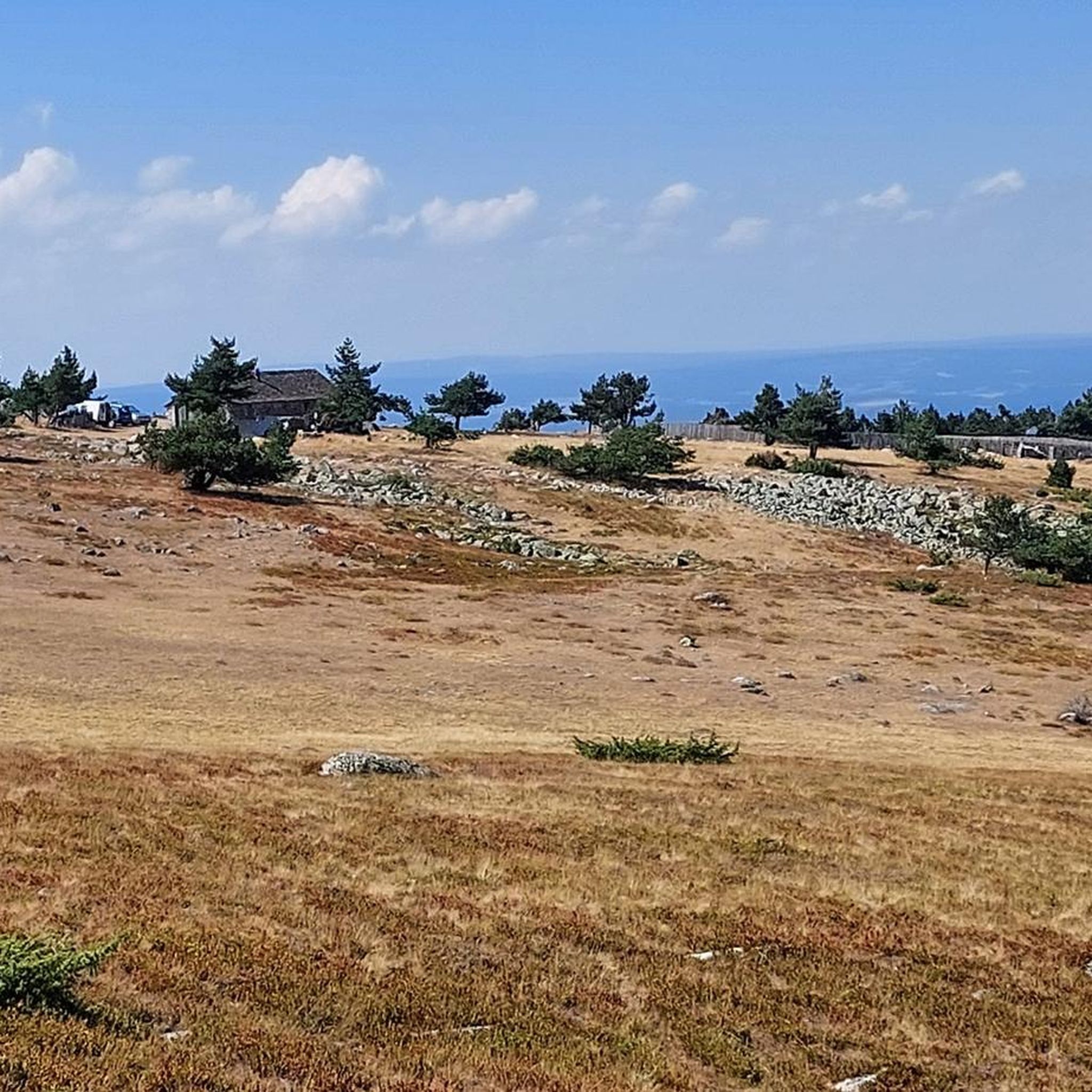
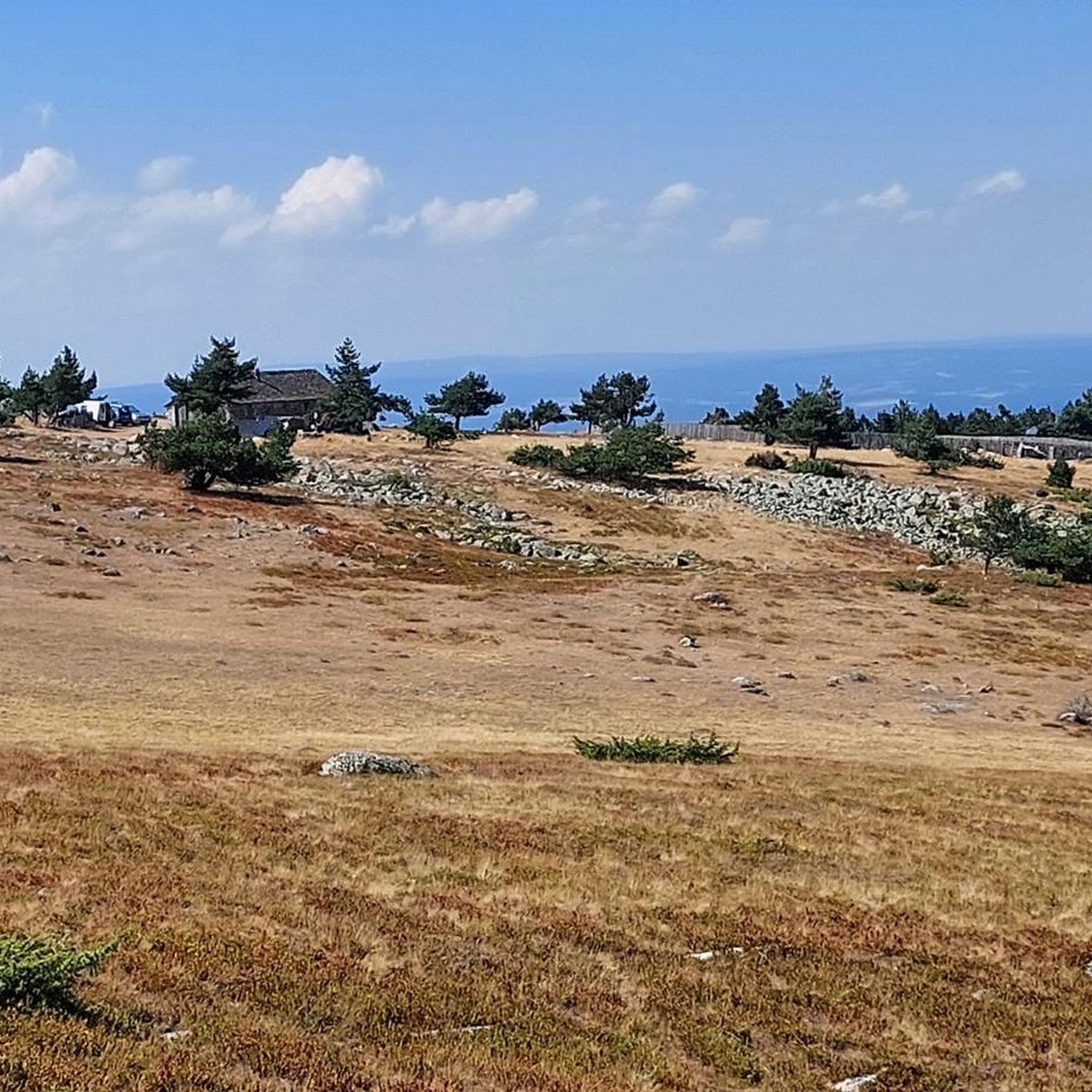
Other adventures around Mas-D'Orcières


Tips from the Community

Great starting point for hikes: Pic Cassini, Pont du Tarn… The cottages are very pleasant.
0
0


[09/2024] The picnic table is no longer in the cabin. A tent is inside the cabin (for hikers who can find shelter?)
0
0


The Col de Finiels is the second highest pass in the Massif Central after the Pas de Peyrol. It peaks at an altitude of 1,543 meters. The views from the summit are superb.
1
1
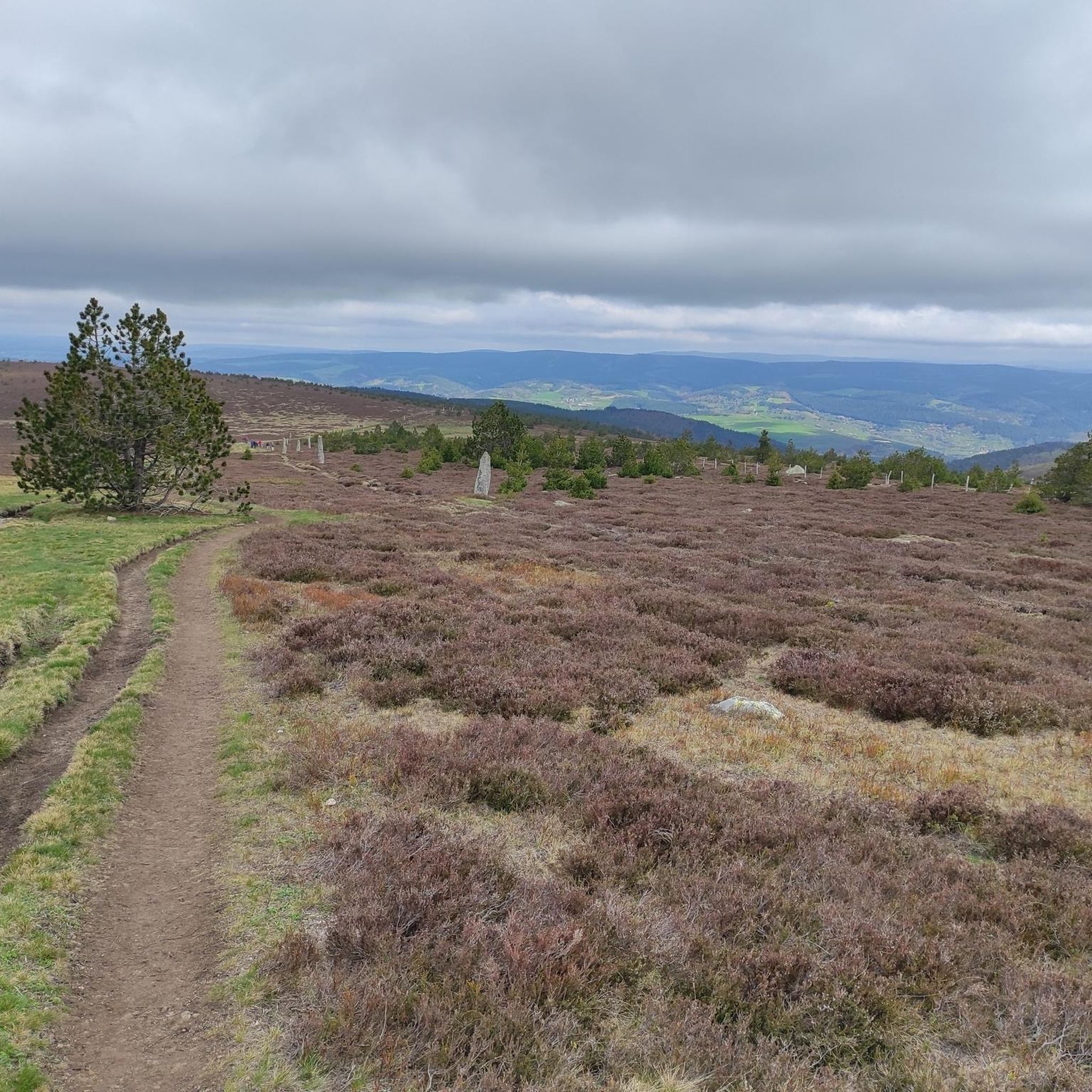
Magnificent path which opens onto the meadows of wild flowers and grasses at the summit of the Col de Finiels.
1
0
Frequently Asked Questions
How many running routes can I find around Mas-D'Orcières?
There are over 80 dedicated running routes available around Mas-D'Orcières. These trails offer a wide variety of experiences, from moderate jogs to challenging trail runs through the diverse landscapes of the Cévennes National Park and Mont Lozère.
What kind of terrain can I expect on the jogging trails in Mas-D'Orcières?
Joggers in Mas-D'Orcières will encounter a rich variety of terrain, including dense forests, open pastures, and winding mountain paths. Many routes feature significant elevation changes, leading to summits with panoramic views. The region's granite massif ensures a robust and engaging running experience.
Are there any challenging long-distance running trails in the area?
Yes, for those seeking a challenge, Mas-D'Orcières offers several difficult long-distance running trails. One notable option is the Bassin de retenue – Pic Cassini loop from Cubiérettes, which spans nearly 28 km with considerable elevation gain, taking you towards the impressive Pic Cassini.
What are some notable landmarks or natural features I might see while running?
The running routes around Mas-D'Orcières are rich with natural beauty and historical points of interest. You can encounter the majestic Mont Lozère, the highest point in the Cévennes, and reach the Finiels Summit for breathtaking views. Other highlights include the charming settlement of Le Pont-de-Montvert and the historic Lanuéjols Roman Mausoleum.
Are there any circular running routes available?
Absolutely. Many of the trails in Mas-D'Orcières are designed as loops, offering a convenient way to start and finish your run at the same point. A popular choice is the Mont Lozère Forest Shelter – Finiels Summit loop from Parking des Chômeurs, which is a challenging 15.1 km route through forests and towards the summit.
What is the best time of year for jogging in Mas-D'Orcières?
Mas-D'Orcières is known for year-round outdoor activities. While summer offers pleasant conditions for jogging through forests and pastures, the crisp mountain air can be invigorating in spring and autumn. Always check local weather conditions, especially for higher elevations on Mont Lozère, as they can vary.
Are there any family-friendly running paths suitable for all ages?
While many routes in the region feature significant elevation, shorter and less strenuous options exist. The 'Chemin des Bois' mentioned in regional research is a shorter 3.95 km route with moderate elevation, which could be suitable for families looking for a quicker, invigorating run. Always check the route details for specific difficulty and length to ensure it meets your family's needs.
What do other runners say about the trails in Mas-D'Orcières?
The running routes in Mas-D'Orcières are highly regarded by the komoot community, boasting an average score of 4.1 stars from 8 reviews. Runners often praise the varied terrain, the stunning panoramic views from Mont Lozère, and the invigorating mountain air that makes for an exceptional running experience.
Can I find routes that offer views of the Mont Lozère summit?
Yes, many routes provide stunning views of or lead directly to the Mont Lozère summit. For instance, the Mont Lozère in Three Words Trail is a difficult 16.2 km route that includes ascents through heathlands towards the summit, offering expansive vistas of the Cévennes and beyond.
Are there any running routes that pass through charming villages?
Yes, the region offers routes that combine natural beauty with cultural exploration. The 'Château du Tournel Trail' (mentioned in regional research) is a longer route that passes through picturesque villages like Oultet and Lozerette, offering a blend of forest paths, pastureland, and cultural sights.
Are there any easier or moderate running routes for beginners?
While many routes are classified as difficult, there are moderate options available. The 'Chauchailles et le Rocher du Cheylaret' (mentioned in regional research) is a 12.04 km trail with a moderate elevation gain, providing a good option for those looking for a less intense but still rewarding run. There are 32 moderate routes in total to choose from.
Most popular routes around Mas-D'Orcières
Most popular attractions around Mas-D'Orcières

Get inspired with the komoot mobile app


Explore more
Browse the best Running Trails & Routes in other regions.
