The best running trails around Saint-Julien-De-La-Nef
4.4
(79)
2,022
runners
168
runs
Jogging routes around Saint-Julien-De-La-Nef often feature significant elevation changes, leading to various peaks and viewpoints. The region's terrain is characterized by hilly landscapes, offering challenging climbs and rewarding vistas. Many running routes are loops, providing diverse scenery throughout the journey. This area provides a range of running experiences for those seeking an active outdoor pursuit.
Best jogging routes around Saint-Julien-De-La-Nef
- The most popular jogging route is Les Jumeaux – Col de l'Agas loop from Sumène, a 11.0 miles (17.6…
Last updated: July 8, 2026
5.0
(3)
42
runners
7.11km
00:46
120m
120m
Moderate run. Good fitness required. Mostly paved surfaces. Suitable for all skill levels.
18
runners
12.9km
01:58
670m
670m
Hard run. Very good fitness required. Sure-footedness, sturdy shoes and alpine experience required.

Sign up for free
5.0
(1)
20
runners
11.0km
01:47
500m
500m
Hard run. Very good fitness required. Sure-footedness, sturdy shoes and alpine experience required.
32
runners
7.88km
00:51
90m
90m
Moderate run. Good fitness required. Mostly paved surfaces. Suitable for all skill levels.
22
runners
15.9km
02:43
900m
900m
Hard run. Very good fitness required. Sure-footedness, sturdy shoes and alpine experience required.
Get access to more routes and recommendations from other explorers.
Sign up for free
Already have an account?
Our route recommendations are based on thousands of hikes, rides, and runs completed by other people on komoot.
Start today with a free account
Your next adventure awaits.
Login or Signup
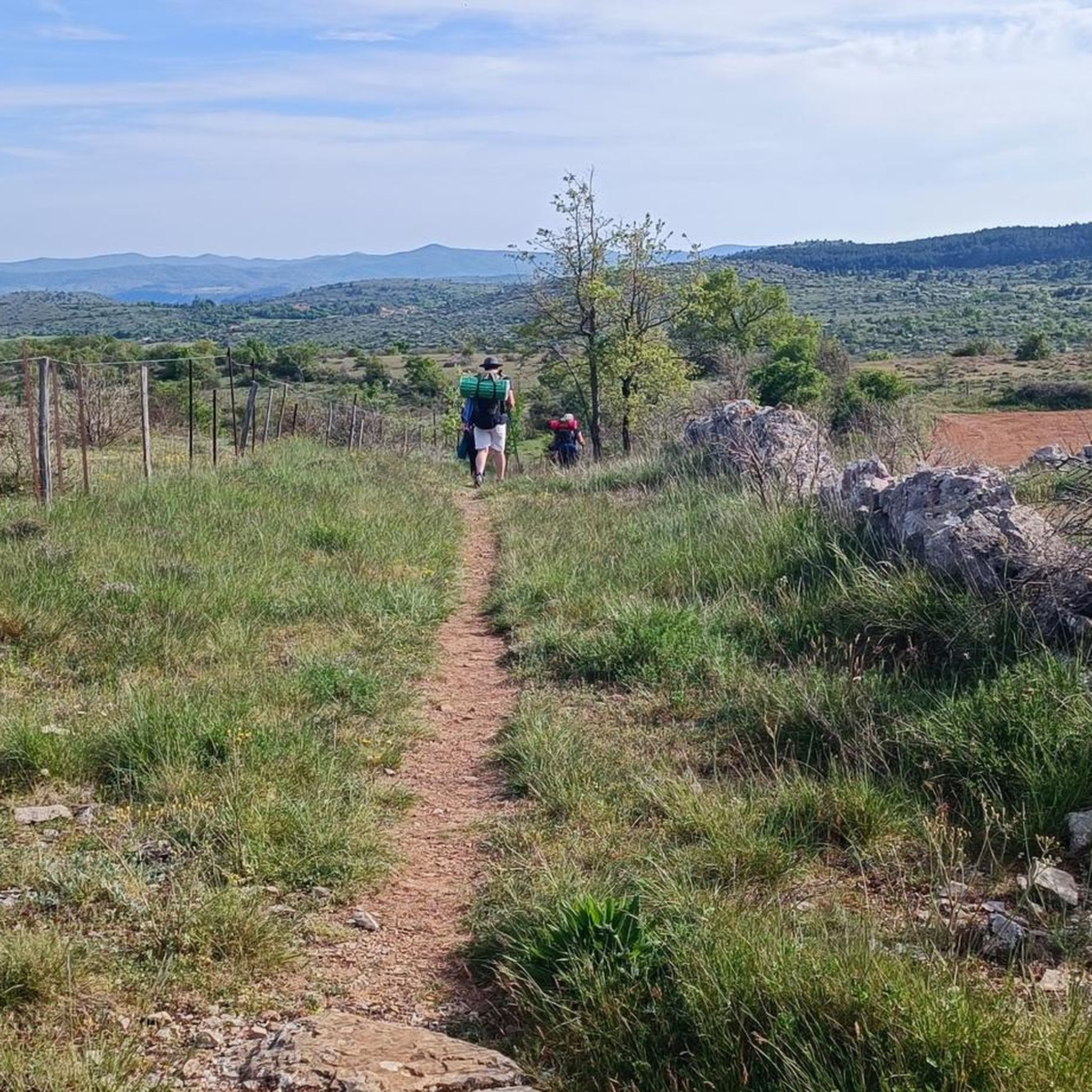

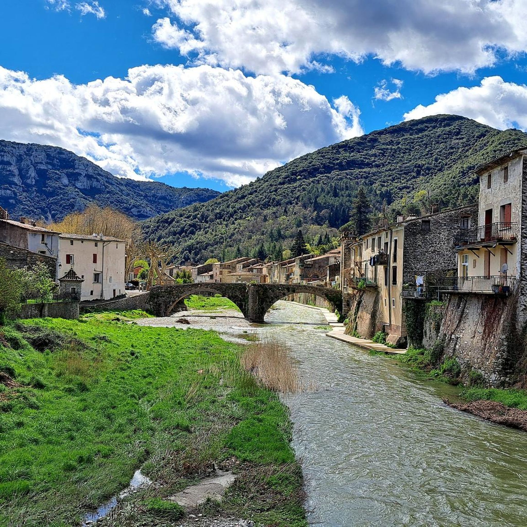
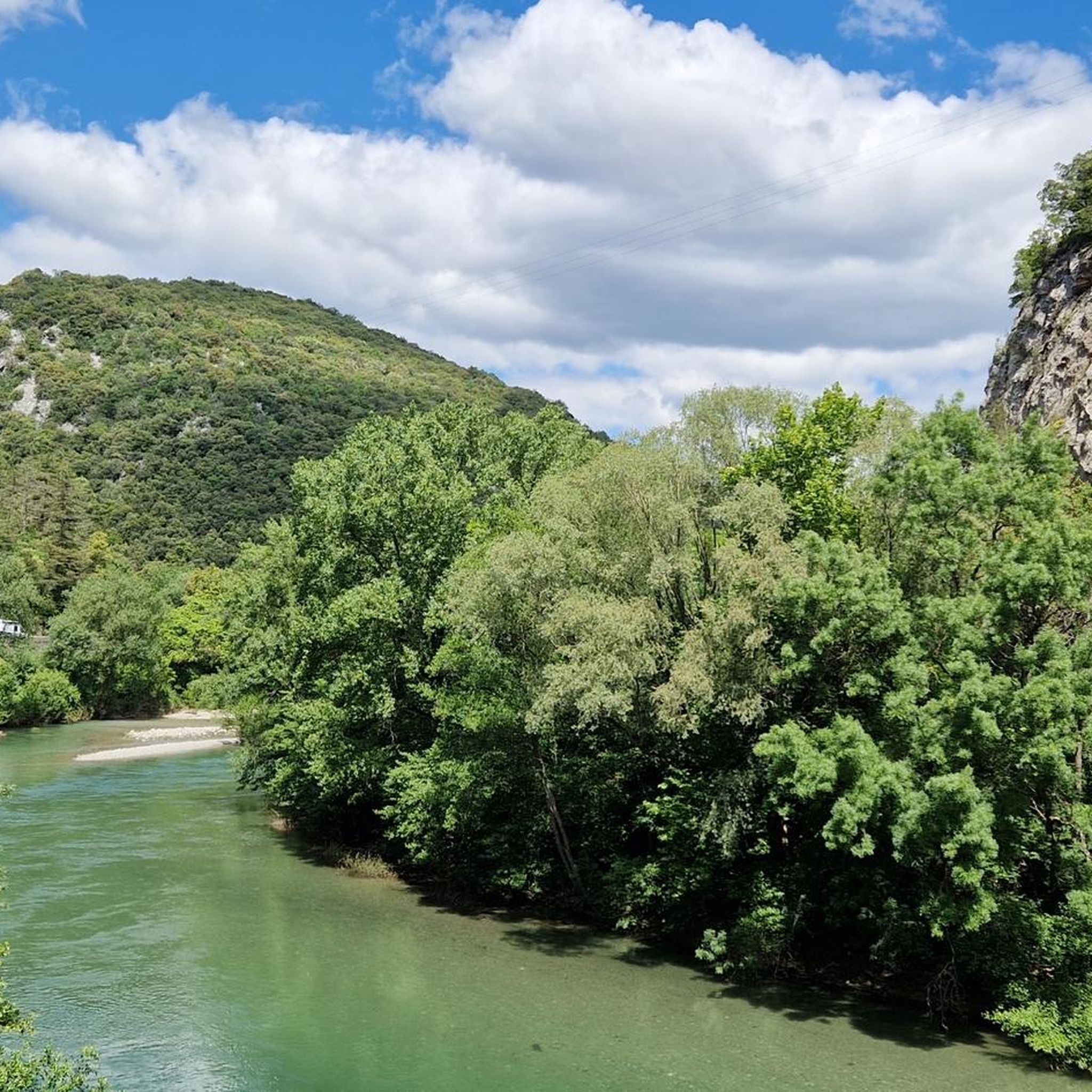

Tips from the Community

Superb 360° views. Be careful of the wind, bring a sweater :)
0
0

A spectacular entrance! The interior is rich in concretion. The cave is blackened by the fires of yesteryear, and by different minerals. A few ropes, or you have to be equipped! I was able to climb as a caver, it's not bad, especially at the entrance on the right, which opens onto a balcony, at the top of the cavity! DO NOT VENTURE THERE WITHOUT EQUIPMENT, it's VERY DANGEROUS! A few beautiful gours in passing. Too bad this cavity is so busy, some have no respect for anything, which degrades the authentic appearance of this beautiful cavity.
1
0
Be careful, the ascent is technical and requires some fighting!
0
1

Crossing cave walled at the ends (hence the name “Clauside”).
1
0
With its 713m altitude, the Ranc de Banes offers a magnificent belvedere over the village of Sumène and the Rieutord valley.
1
0
Culminating at an altitude of 864m, the Pic d'Anjeau offers a magnificent view of the Vis valley.
1
0

This town has a remarkable natural heritage! You will find on the territory, the regional nature reserve of Combe Chaude as well as the gorges of Rieutord. It also encompasses five natural areas of ecological, faunal and floristic interest.
2
0
Frequently Asked Questions
How many running routes are available in the Saint-Julien-De-La-Nef area?
There are over 170 running routes around Saint-Julien-De-La-Nef, offering a wide range of experiences from easy jogs to challenging long-distance runs.
Are there any easy or beginner-friendly running routes in Saint-Julien-De-La-Nef?
Yes, while many routes feature significant elevation, there are 7 easier running paths available. These are generally shorter and have less demanding climbs, suitable for beginners or those looking for a more relaxed run.
What kind of terrain can I expect on the running trails around Saint-Julien-De-La-Nef?
The region is characterized by hilly landscapes, meaning most routes involve significant elevation changes. You'll encounter challenging climbs and rewarding descents, often leading to panoramic viewpoints.
Are there any long-distance running routes for experienced runners?
Absolutely. For those seeking a longer challenge, routes like Anjeau Peak – Anjeau Cave loop from Saint-Laurent-le-Minier offer distances of over 14 km with substantial elevation gain, providing a demanding workout.
Can I find circular running routes in Saint-Julien-De-La-Nef?
Yes, many of the running routes in the area are loops, allowing you to start and finish at the same point without retracing your steps. This provides diverse scenery throughout your run.
What are some scenic highlights or points of interest I might see on a run?
The routes often lead to stunning viewpoints and natural landmarks. You might pass by Anjeau Peak, offering expansive views, or the Ranc de Banes Viewpoint. Some trails also venture near fascinating geological features like Anjeau Cave.
What do other runners say about the trails in Saint-Julien-De-La-Nef?
The running routes in Saint-Julien-De-La-Nef are highly rated by the komoot community, with an average score of 4.3 stars from nearly 50 reviews. Runners often praise the challenging terrain, rewarding views, and the natural beauty of the area.
Are there any running routes that are particularly good for families?
While many routes are challenging, families might enjoy some of the easier options available. It's always recommended to check the route's difficulty and elevation profile on komoot before heading out to ensure it's suitable for all family members.
What is the best time of year for running in Saint-Julien-De-La-Nef?
Given the hilly terrain, spring and autumn generally offer the most pleasant conditions for running, with milder temperatures. Summers can be warm, and winters might bring colder weather, especially at higher elevations. Always check local weather forecasts before your run.
Are there any running routes that offer views of Mont Aigoual?
Yes, some routes in the broader region might offer distant views of Mont Aigoual. For a direct experience, you could explore routes that include the Ascent of Mont Aigoual from Le Vigan via the Col de la Lusette, which is a significant climb.
How can I find routes that are less crowded or offer a 'hidden gem' experience?
While specific 'hidden gems' are subjective, exploring routes with fewer recorded completions on komoot or those starting from smaller villages might lead to a more secluded running experience. The Sumène – Ranc de Banes Viewpoint loop from Le Vigan is a good example of a challenging route that offers great views.
Most popular routes around Saint-Julien-De-La-Nef
Most popular attractions around Saint-Julien-De-La-Nef

Get inspired with the komoot mobile app


Explore more
Browse the best Running Trails & Routes in other regions.
