The best walks and hikes around Saint-Pierre-Langers
4.6
(864)
6,047
hikers
199
hikes
Hiking around Saint-Pierre-Langers offers a diverse landscape characterized by gentle rolling hills, river valleys, and proximity to the coast. The region features a mix of agricultural land, woodlands, and historic sites like the Abbaye de La Lucerne. Elevation changes are generally moderate, making many routes accessible for various fitness levels.
Best hiking trails around Saint-Pierre-Langers
- The most popular hiking route is Abbaye de La Lucerne – Abbaye de La Lucerne loop from Abbaye de la Lucerne, a 4.8 miles…
Last updated: July 5, 2026
4.7
(40)
160
hikers
Moderate hike. Good fitness required. Easily-accessible paths. Suitable for all skill levels.
4.6
(37)
148
hikers
Moderate hike. Good fitness required. Easily-accessible paths. Suitable for all skill levels.

Sign up for free
5.0
(2)
15
hikers
9.72km
02:30
40m
40m
Moderate hike. Good fitness required. Easily-accessible paths. Suitable for all skill levels.
4.3
(3)
10
hikers
5.01km
01:20
50m
50m
Easy hike. Great for any fitness level. Easily-accessible paths. Suitable for all skill levels.
5.0
(2)
9
hikers
6.44km
01:42
60m
60m
Easy hike. Great for any fitness level. Easily-accessible paths. Suitable for all skill levels.
Get access to more routes and recommendations from other explorers.
Sign up for free
Already have an account?
Our route recommendations are based on thousands of hikes, rides, and runs completed by other people on komoot.
Start today with a free account
Your next adventure awaits.
Login or Signup

Tips from the Community

But not necessarily recommended by bike! There are steep stairs up and down!
0
0

Fewer and fewer trails accessible by mountain bike (trees across, barbed wire signs, etc.) because of the lord who privatizes as much as possible
1
0

The building, oriented, is built according to an elongated plan. It consists of a rectangular porch, followed by a square bell tower, then a building with eight bays, comprising a nave and choir, the whole ending with a square bell tower flanked by a rectangular sacristy.
1
0

At this point you cross the small river Thar on a small wooden bridge. There is little to hear here except the murmuring of the water. Really idyllic.
0
0

Difficult to pass
1
0

Watch out for brambles, undeveloped trail! But passable in gravel. Large staircase for the large slope.
2
0
To be visited in different seasons to appreciate the various flowers, heather, broom...
2
0
Departing from Angey, short walk to discover a site of peat moors.
2
0
Frequently Asked Questions
How many hiking trails are available around Saint-Pierre-Langers?
There are over 200 hiking routes around Saint-Pierre-Langers. This includes 116 easy trails, 81 moderate routes, and 9 more challenging options, catering to various fitness levels.
Are there any easy, family-friendly hikes in Saint-Pierre-Langers?
Yes, Saint-Pierre-Langers offers many easy trails suitable for families. An excellent option is the In the idyllic Thar valley loop from Angomesnil, which is 4.0 miles (6.4 km) long and takes about 1 hour 42 minutes to complete. The region's generally moderate elevation changes make many routes accessible.
What kind of scenery can I expect on hikes near Saint-Pierre-Langers?
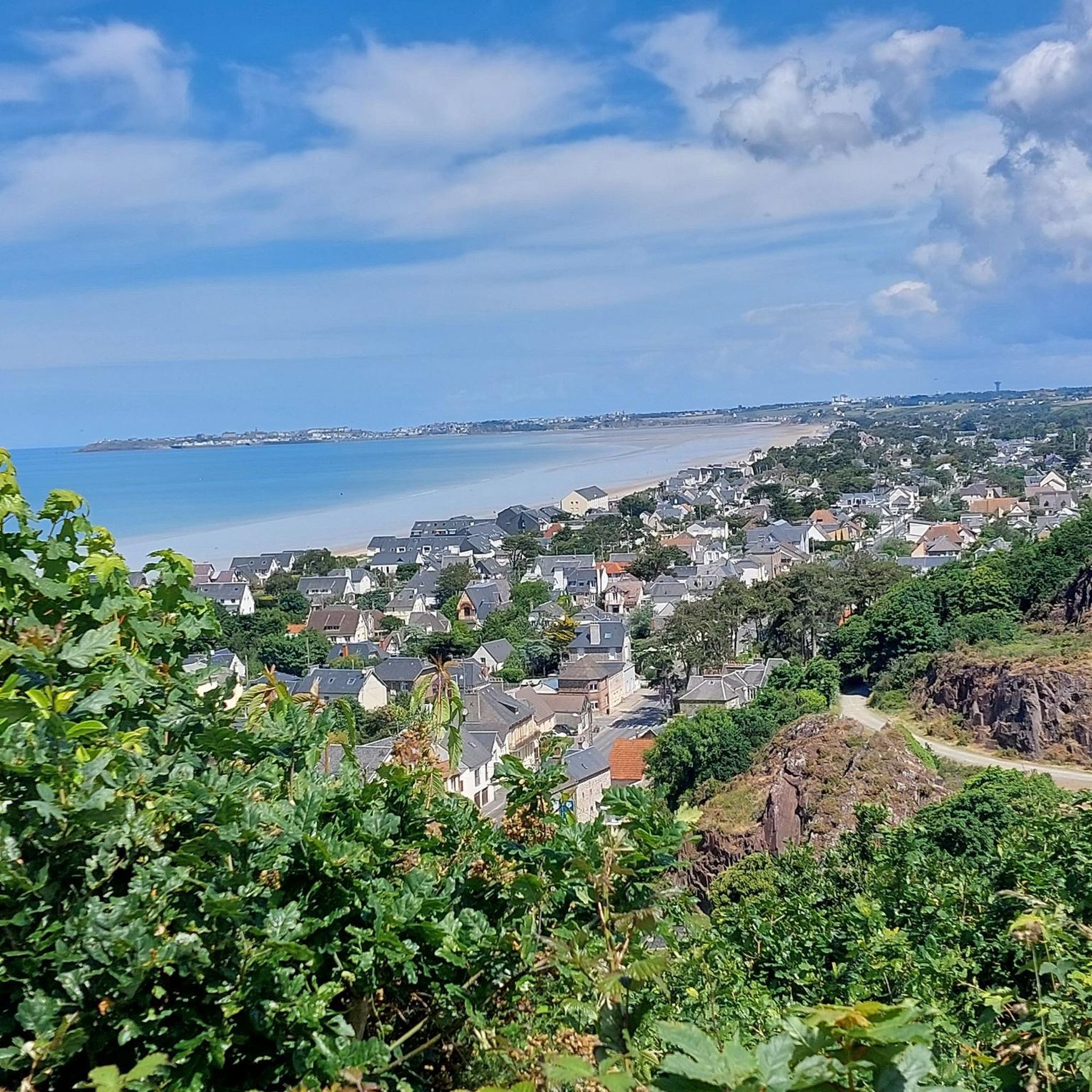
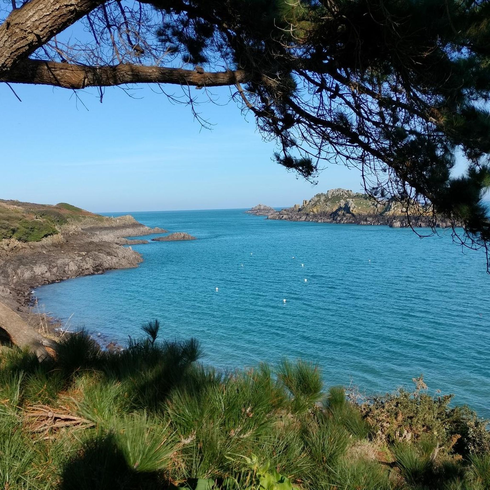
Hiking around Saint-Pierre-Langers offers diverse scenery, including gentle rolling hills, picturesque river valleys, and coastal paths. You'll also encounter agricultural lands, woodlands, and historic sites like the Abbaye de La Lucerne.
Are there any circular walks available in the area?
Yes, many routes around Saint-Pierre-Langers are circular. For example, the popular Abbaye de La Lucerne – Abbaye de La Lucerne loop from Abbaye de la Lucerne is a 4.8-mile (7.7 km) moderate trail exploring the abbey's surroundings. Another option is the Saint-Pair-sur-Mer Beach – Champ Picnic Area loop from Saint-Aubin-des-Préaux, offering coastal views.
What interesting landmarks or attractions can I see while hiking?
The region is rich in points of interest. You can explore historic sites like the Abbaye de La Lucerne or the Vauban Hut at Carolles. Coastal routes might lead you past the Cap Lihou lighthouse or the Notre-Dame du Cap Lihou Church. Natural highlights include the Lude Valley and the Customs Officers' Path.
What do other hikers say about the trails in Saint-Pierre-Langers?
The trails in Saint-Pierre-Langers are highly regarded by the komoot community, with an average rating of 4.7 stars from over 780 reviews. Hikers often praise the varied terrain, from river valleys to coastal paths, and the well-maintained routes that cater to different ability levels.
Are there any coastal hiking routes near Saint-Pierre-Langers?
Yes, Saint-Pierre-Langers is close to the coast, offering several coastal hiking options. The Jullouville Beach loop from Saint-Aubin-des-Préaux is a moderate 10.1 km trail that provides beautiful seaside views. Another great choice is the Saint-Pair-sur-Mer Beach – Champ Picnic Area loop.
What is the best time of year to go hiking in Saint-Pierre-Langers?
The region is enjoyable for hiking throughout much of the year. Spring and autumn offer pleasant temperatures and beautiful scenery, with fewer crowds. Summer is also popular, especially for coastal walks, though it can be busier. Winter hikes are possible, but check local conditions as some paths might be muddy.
Are there any longer, moderate hikes for experienced walkers?
For those seeking longer, moderate challenges, the In the idyllic Thar valley loop from Saint-Aubin-des-Préaux is a good option. This route covers 10.3 km and features more varied elevation changes, providing a rewarding experience for experienced walkers.
Are there good viewpoints to see Mont Saint-Michel from the hiking trails?
Yes, some trails offer stunning views of Mont Saint-Michel. A notable highlight is the View of Mont Saint-Michel and Tombelaine from the bay between Saint-Jean-le-Thomas and Champeaux, which can be incorporated into longer coastal walks.
What are the elevation changes like on trails around Saint-Pierre-Langers?
Elevation changes around Saint-Pierre-Langers are generally moderate. While there are some gentle rolling hills, most routes are accessible and do not feature extreme ascents or descents, making them suitable for a wide range of hikers.
Most popular routes around Saint-Pierre-Langers
Most popular attractions around Saint-Pierre-Langers

Get inspired with the komoot mobile app


Explore more
Browse the best Hikes in other regions.
