The best walks and hikes around Lolif
4.7
(536)
2,576
hikers
122
hikes
Hiking around Lolif reveals a landscape characterized by coastal paths and gentle, rolling hills. The region offers varied terrain, with routes often providing views of the surrounding bay and historical landmarks. Elevations are generally low, with most ascents being under 100 meters. The area is suitable for hikers seeking paths with moderate gradients and scenic coastal vistas.
Best hiking trails around Lolif
- The most popular hiking route is Chemin du Douanier – View of Mont Saint-Michel loop from Vains,…
Last updated: July 5, 2026
4.8
(9)
41
hikers
16.9km
04:22
80m
80m
Moderate hike. Good fitness required. Easily-accessible paths. Suitable for all skill levels.
4.5
(2)
11
hikers
17.5km
04:25
30m
30m
Moderate hike. Good fitness required. Easily-accessible paths. Suitable for all skill levels.

Sign up for free
4.5
(2)
2
hikers
3.88km
01:03
50m
50m
Easy hike. Great for any fitness level. Easily-accessible paths. Suitable for all skill levels.
5.0
(2)
12
hikers
8.56km
02:09
10m
10m
Moderate hike. Good fitness required. Easily-accessible paths. Suitable for all skill levels.
5.0
(3)
1
hikers
7.20km
01:52
40m
40m
Easy hike. Great for any fitness level. Easily-accessible paths. Suitable for all skill levels.
Get access to more routes and recommendations from other explorers.
Sign up for free
Already have an account?
Our route recommendations are based on thousands of hikes, rides, and runs completed by other people on komoot.
Start today with a free account
Your next adventure awaits.
Login or Signup
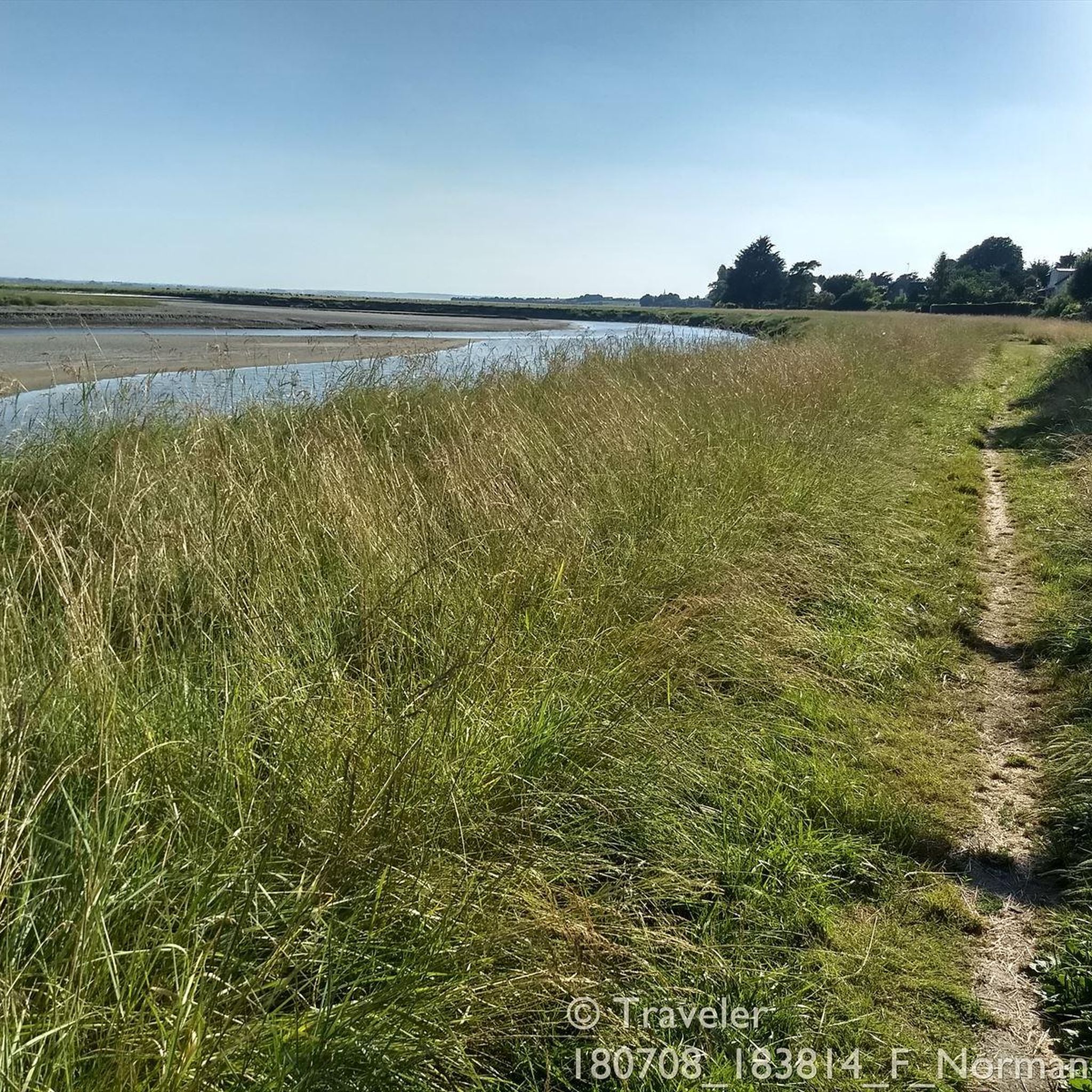
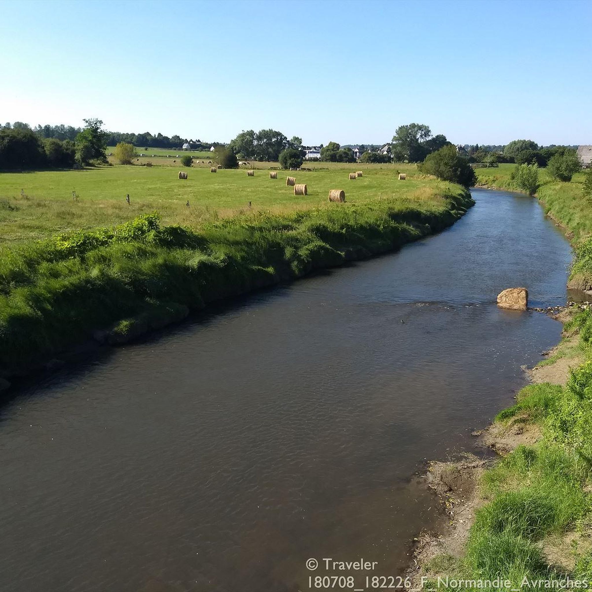
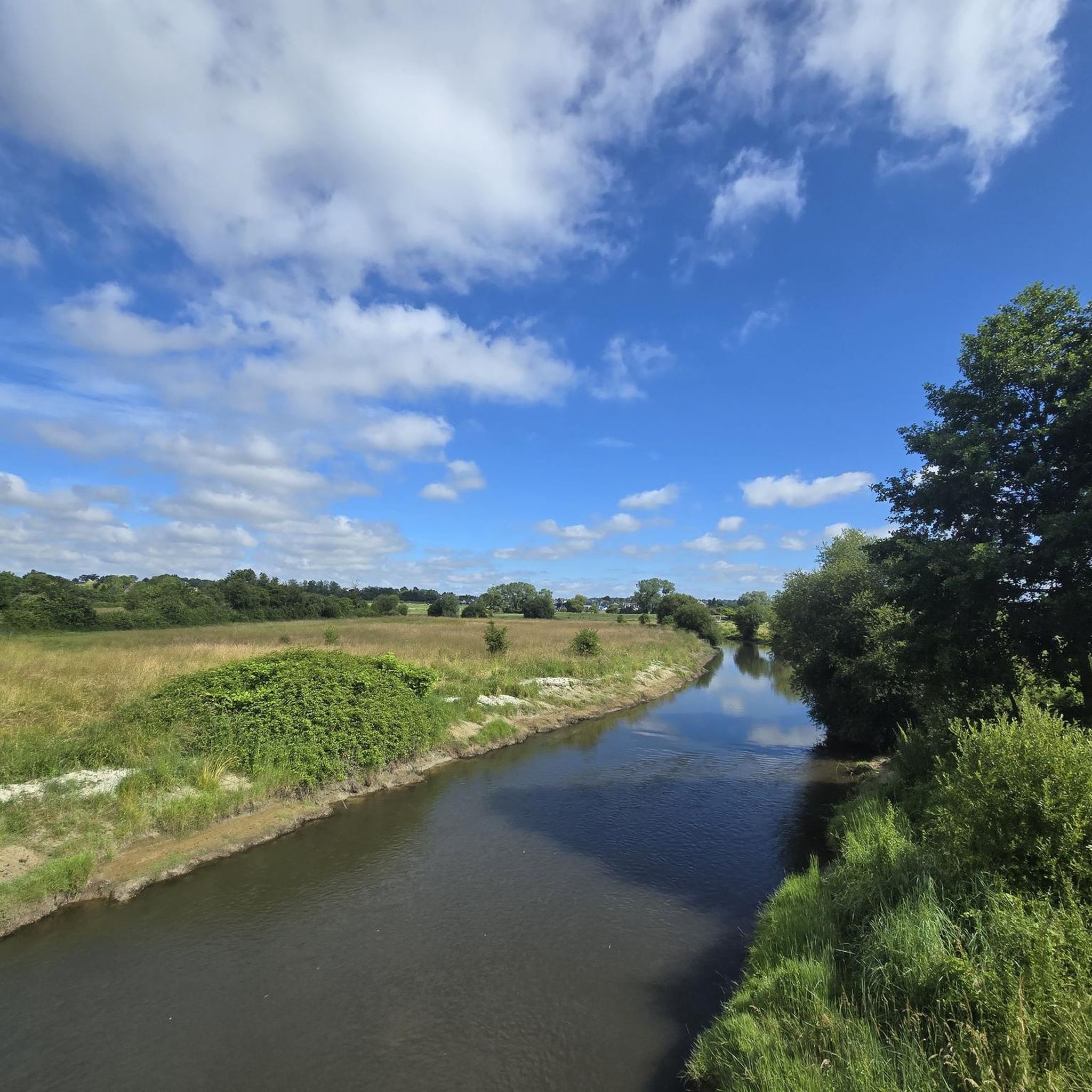

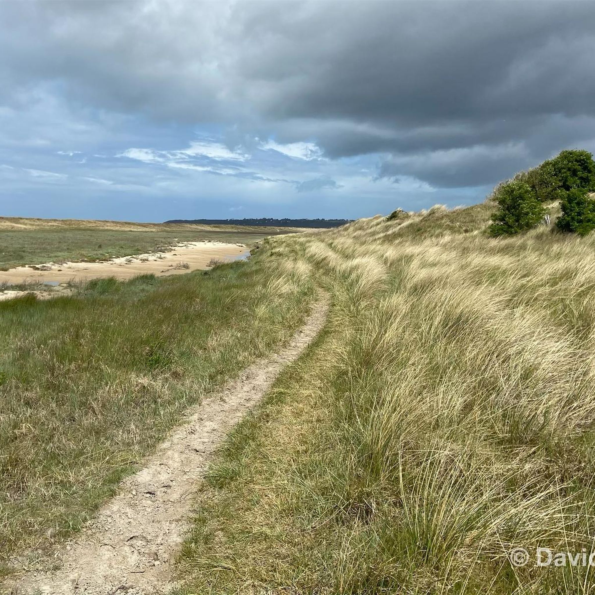
Tips from the Community

From this point, you have a panoramic view of the Bay of Mont Saint-Michel, including: 1/ Mont Saint-Michel itself in the distance, majestic on its rocky island, and 2/ the vast salt marshes ("herbus") and mudflats, which change dramatically depending on the tide.
1
0
Its origins date back to the 6th century, when the future Saint Leonard worked in the region. In 1087, William the Conqueror granted the fief of Vains to the Abbey of Saint-Étienne in Caen, which subsequently founded the priory. The building dates back to the 11th century and has been restored several times over the centuries. Today, the priory serves as a holiday accommodation.
1
0
The Grouin du Sud is a natural headland offering impressive views of the bay and the famous Klosterberg. Depending on the tide, the landscape alternates between vast mudflats and ocean views, making the place particularly charming.
1
0
The mudflat hike to Mont Saint-Michel usually starts at the Le Grouin du Sud headland near Genêts. This is the official starting point for guided tours through the bay, which lead across the mudflats to Mont Saint-Michel at low tide. The trail should only be undertaken with a certified mudflat guide, as the area is potentially dangerous due to tides, currents, and quicksand. Popular providers such as Chemins de la Baie du Mont-Saint-Michel regularly organize safe tours from Genêts. Chemins de la Baie – Official website for guided tours through the bay: https://www.cheminsdelabaie.com/
1
0
The Route du Grouin du Sud, also known as the "Customs Officer's Path," is a 10- to 11.5-kilometer-long coastal hike near Genêts and Vains. It leads through the impressive bay of Mont Saint-Michel and offers beautiful views of the sea, Mont Saint-Michel, and the Tombelaine rock along long stretches. The route is mostly circular and takes between two and a half and three and a half hours, depending on your pace. It runs through meadows, coastal paths, and small country roads. It is unpaved in places, so sturdy footwear is recommended. A cultural highlight is the Prieuré Saint-Léonard with its historic chapel. The "Grouin du Sud" headland is particularly worth seeing; on a clear day, you can enjoy a panoramic view of the entire bay.
1
0
The Routout farm in Saint-Léonard was acquired by the Conservatoire du Littoral in 1994 and, after extensive renovations, opened as the Maison de la Baie/Relais de Vains in 2001. In 2011, it evolved into the Écomusée de la Baie du Mont-Saint-Michel, incorporating content from the Maison de la Baie/Relais de Courtils. Link: https://ecomusee-baie.manche.fr/lecomusee/histoire-du-site/
1
0
The Le Grand Port picnic area offers a beautiful vantage point of Mont Saint-Michel. From here, a wide view opens up across the bay, with the silhouette of the abbey visible on the horizon on a clear day. Especially in the early morning hours or at sunset, the light glides over the mudflats and salt marshes.
1
0

Very good coffee and cold drinks when he's there.
1
0
Frequently Asked Questions
How many hiking trails are available around Lolif?
There are over 120 hiking trails around Lolif, offering a variety of options for different skill levels. The komoot community has explored more than 129 routes in the area.
What kind of terrain can I expect on hikes around Lolif?
The terrain around Lolif is primarily characterized by coastal paths and gentle, rolling hills. Most routes feature moderate gradients, with elevations generally under 100 meters, providing scenic views of the surrounding bay and historical landmarks.
Are there easy hiking options in Lolif suitable for beginners?
Yes, Lolif offers many easy hiking options. Approximately 67 of the trails are rated as easy, making them suitable for beginners or those looking for a relaxed stroll. An example is the Kirche Notre-Dame-des-Champs – Donjon of Avranches loop from Avranches, which is 2.4 miles (3.9 km) long and takes about an hour.
What are the typical distances and durations for hikes in Lolif?
Hikes in Lolif vary in distance and duration. You can find shorter urban and historical loops like the Kirche Notre-Dame-des-Champs – Donjon of Avranches loop from Avranches at 2.4 miles (3.9 km) taking about an hour. Longer moderate routes, such as the Chemin du Douanier – View of Mont Saint-Michel loop from Vains, can be around 10.5 miles (16.9 km) and take over four hours.
Are there any circular hiking routes around Lolif?
Yes, many of the hiking routes around Lolif are circular, allowing you to start and end at the same point. Examples include the popular Chemin du Douanier – View of Mont Saint-Michel loop from Vains and the Grouin du Sud loop from Vains.
What notable landmarks or viewpoints can I see while hiking near Lolif?
While hiking near Lolif, you can encounter several notable landmarks and viewpoints. These include the historic Pontaubault Bridge, the scenic Grouin du Sud viewpoint, and the impressive Abbaye de La Lucerne. Some trails also offer distant views of Mont Saint-Michel.
Are there any specific attractions along the trails that offer good views of Mont Saint-Michel?
Yes, some trails are specifically known for offering views of Mont Saint-Michel. The Chemin du Douanier – View of Mont Saint-Michel loop from Vains is a prime example, providing excellent distant perspectives of the iconic landmark.
What do other hikers say about the trails in Lolif?
The hiking trails in Lolif are highly rated by the komoot community, with an average score of 4.7 stars from over 480 reviews. Hikers often praise the scenic coastal views, the gentle gradients, and the variety of routes available for different abilities.
Are the hiking trails around Lolif suitable for families with children?
Given the prevalence of easy and moderate trails with generally low elevations, many routes around Lolif are suitable for families with children. The coastal paths and historical points of interest offer engaging experiences for younger hikers.
Can I bring my dog on the hiking trails in Lolif?
While specific regulations can vary, coastal paths and rural trails in many regions are generally dog-friendly, especially if dogs are kept on a leash. It's always recommended to check local signage or specific route details for any restrictions before heading out with your dog.
What is the best time of year to go hiking in Lolif?
As a coastal region, Lolif is generally pleasant for hiking during spring, summer, and early autumn. These seasons typically offer milder weather and better visibility for enjoying the scenic coastal views. Winter hiking is possible but may be subject to stronger winds and cooler temperatures.
Are there any longer, more challenging hikes for experienced hikers in Lolif?
While the region is known for its gentle terrain, there are some longer, moderate routes that offer a good challenge. Approximately 54 trails are rated as moderate, and 8 are considered difficult. These routes often cover more distance, such as the Grouin du Sud – Australian barista loop from Avranches, which is 10.9 miles (17.5 km) long.
How accessible are the trails in Lolif by public transport or car?
While specific public transport details for trailheads are not readily available, many hiking areas in coastal regions are accessible by car, often with designated parking near popular starting points. For detailed information on reaching specific trailheads, it's advisable to check local transport services or parking facilities for the starting locations of your chosen routes.
Most popular attractions around Lolif

Get inspired with the komoot mobile app


Explore more
Browse the best Hikes in other regions.
