The best cycling routes around Vains
4.5
(1092)
11,152
riders
179
rides
Touring cycling routes around Vains are set within the unique landscapes of the Mont Saint-Michel Bay, a UNESCO World Heritage Site. The region features flat, marshy terrain and scenic coastal roads, making it accessible for cycling. Salt marshes characterize much of the area, providing distinct natural aesthetics. Inland, the bocage countryside offers varied backdrops for exploration.
Best touring cycling routes around Vains
- The most popular touring cycling route is Meeting the Mont-Saint-Michel — loop from Genêts, an 11.6 miles…
Last updated: July 5, 2026
4.5
(24)
54
riders
18.7km
01:08
90m
90m
Easy bike ride. Great for any fitness level. Mostly paved surfaces. Suitable for all skill levels.
4.7
(15)
87
riders
40.6km
02:28
180m
180m
Moderate bike ride. Good fitness required. Mostly paved surfaces. Suitable for all skill levels.

Sign up for free
4.5
(15)
130
riders
47.2km
02:48
270m
270m
Moderate bike ride. Good fitness required. Mostly paved surfaces. Suitable for all skill levels.
4.5
(2)
21
riders
70.6km
04:20
410m
410m
Moderate bike ride. Good fitness required. Mostly paved surfaces. Suitable for all skill levels.
5.0
(3)
17
riders
35.6km
02:08
220m
220m
Moderate bike ride. Good fitness required. Mostly paved surfaces. Suitable for all skill levels.
Get access to more routes and recommendations from other explorers.
Sign up for free
Already have an account?
Our route recommendations are based on thousands of hikes, rides, and runs completed by other people on komoot.
Start today with a free account
Your next adventure awaits.
Login or Signup

Tips from the Community

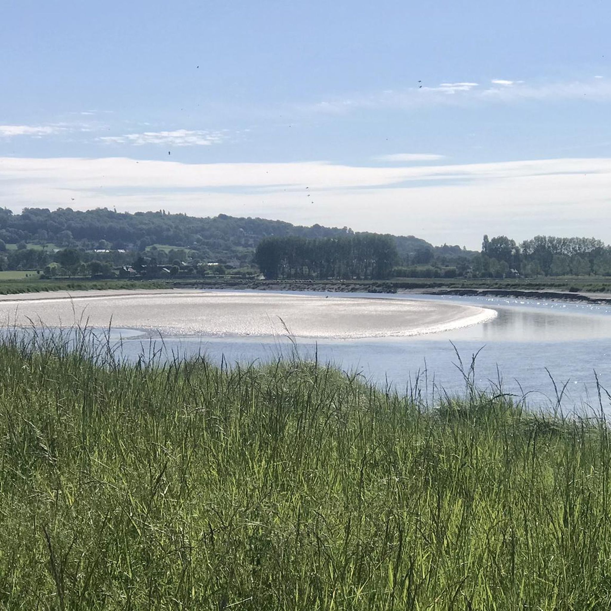
During very high tides, your wheels may be in the water.
0
0

Its origins date back to the 6th century, when the future Saint Leonard worked in the region. In 1087, William the Conqueror granted the fief of Vains to the Abbey of Saint-Étienne in Caen, which subsequently founded the priory. The building dates back to the 11th century and has been restored several times over the centuries. Today, the priory serves as a holiday accommodation.
1
0
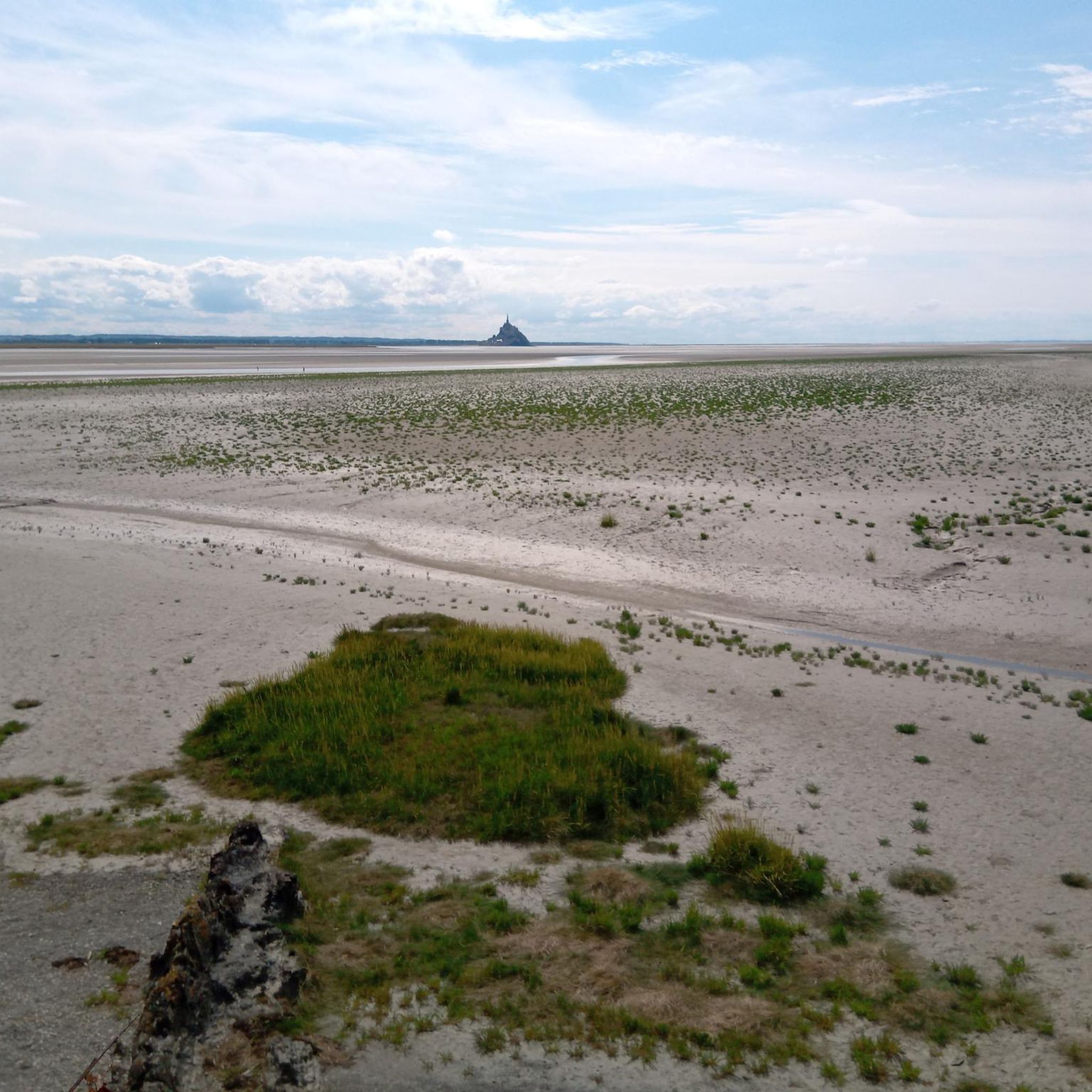
The Grouin du Sud is a natural headland offering impressive views of the bay and the famous Klosterberg. Depending on the tide, the landscape alternates between vast mudflats and ocean views, making the place particularly charming.
1
0

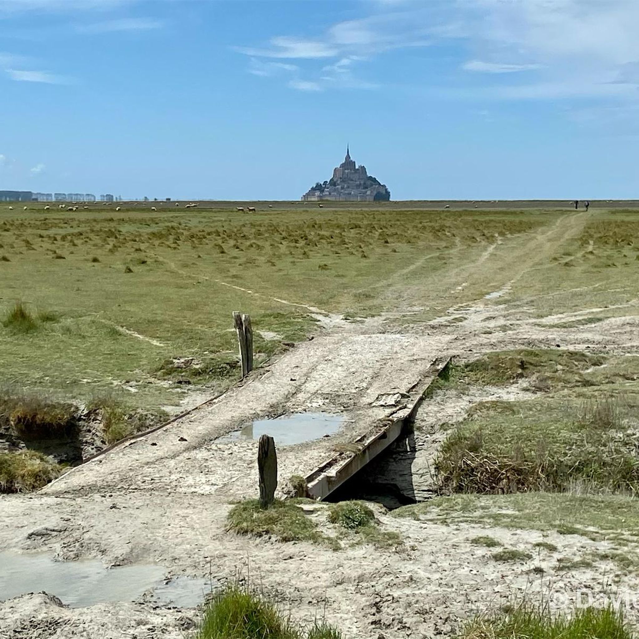
beautiful view of St Michel
0
0

A beautiful picnic area with tables and benches among the trees on the banks of the Selen River. There are even restrooms. The area is very spacious.
1
0

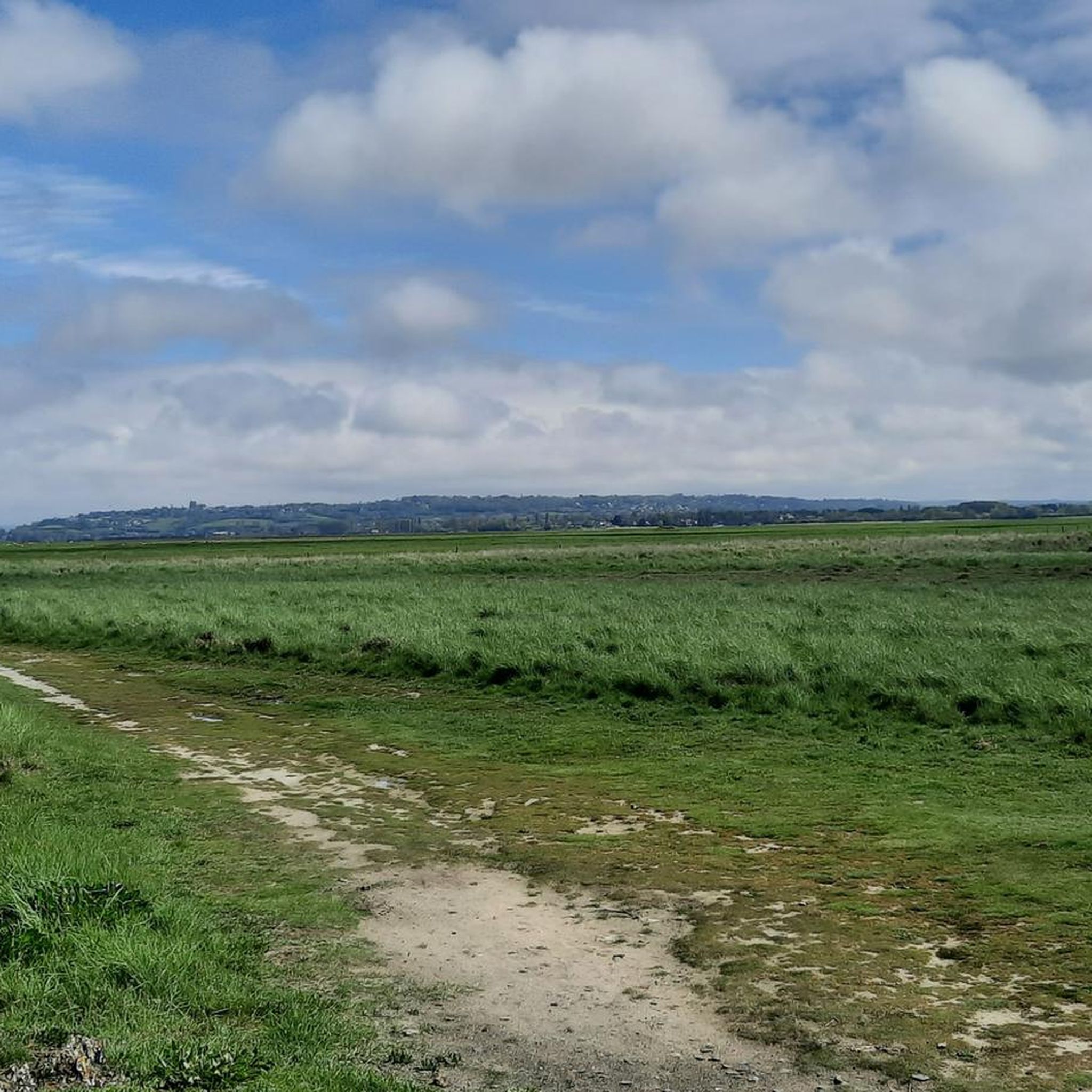
Magnificent landscape with its green pastures of salt meadows. Gradually approaching Mount Mich Mich
2
0

Nice opportunity for a break. Picnic area with a good view
2
0
Frequently Asked Questions
How many touring cycling routes are available around Vains?
There are over 190 touring cycling routes available around Vains, catering to various skill levels. This includes more than 100 easy routes, 60 moderate routes, and 20 more challenging options for experienced cyclists.
What kind of terrain can I expect on touring cycling routes in Vains?
The terrain around Vains is primarily characterized by flat, marshy landscapes and scenic coastal roads within the Mont Saint-Michel Bay. Inland, you'll find the bocage countryside, offering a mix of diverse natural environments. The flat nature of the bay area makes many routes accessible and enjoyable.
Are there family-friendly cycling routes in Vains?
Yes, the Vains area offers many easy routes suitable for families. The flat terrain around the Mont Saint-Michel Bay is ideal for relaxed rides. For example, the Meeting the Mont-Saint-Michel — loop from Genêts is an easy 11.6-mile (18.7 km) loop that offers great views and is suitable for a family outing.
What attractions or viewpoints can I see along the cycling routes?
Many routes offer stunning views of the iconic Mont Saint-Michel. You can also explore the unique salt marshes and the diverse coastal scenery. Other notable points of interest include the Grouin du Sud viewpoint and the Couesnon at Beauvoir. The Pontaubault Bridge – View of Mont Saint-Michel loop from Vains is a moderate route that specifically highlights views of the Mont Saint-Michel.
Is it possible to cycle to Mont Saint-Michel from Vains?
Yes, Vains is strategically positioned near Mont Saint-Michel, making it easily accessible by bike. Several routes offer direct views or lead towards the iconic landmark. The Meeting the Mont-Saint-Michel — loop from Genêts is a popular option that provides excellent views of the abbey.
What is the best time of year for touring cycling in Vains?
The Mont Saint-Michel Bay area, including Vains, is enjoyable for cycling during most of the year, but spring and autumn offer pleasant temperatures and fewer crowds. Summer can be warm, but the coastal breezes often make for comfortable riding. Always check local weather forecasts before heading out.
Are there circular cycling routes around Vains?
Yes, many touring cycling routes around Vains are designed as loops, allowing you to start and end at the same point. Examples include the Le Grand Port – View of the cliff road loop from Avranches, which takes you through varied coastal and rural scenery, and the Pontaubault Bridge – La Sélune Marsh Trail loop from Marcey-les-Grèves.
What do other touring cyclists say about the routes in Vains?
The touring cycling routes around Vains are highly rated by the komoot community, with an average score of 4.4 stars from over 900 reviews. More than 10,000 touring cyclists have used komoot to explore the varied terrain, often praising the stunning views of Mont Saint-Michel and the accessible, flat paths through the bay's unique landscapes.
Where can I find parking for cycling routes in Vains?
While specific parking areas for each route are not detailed, Vains and nearby towns like Genêts and Avranches typically offer public parking facilities. It's advisable to check local signage upon arrival for designated parking spots, especially near popular starting points for cycling tours.
How can I learn more about the local ecosystem and history of the Mont Saint-Michel Bay?
The Maison de la Baie - Relais de Vains offers an ecomuseum with a permanent exhibition on 'Life in the Bay.' It details the ecosystem, human activities like shellfish farming, and the historical practice of igniferous salt manufacturing. It's an excellent starting point to understand the natural surroundings you'll be cycling through.
Are there cafes or places to eat along the cycling routes?
While specific cafes on every route are not listed, the villages and towns along the routes, such as Vains, Genêts, and Avranches, offer various options for refreshments and meals. Planning your route to pass through these areas will ensure you have opportunities for breaks and to refuel.
Are there more challenging routes for experienced cyclists?
Yes, while many routes are easy, Vains also offers options for more experienced cyclists. There are 20 difficult routes available. For example, the Saint-Jean-le-Thomas Beach – View of the cliff road loop from Genêts is a moderate 30.8-mile (49.5 km) route with more elevation gain, providing a good challenge while still offering beautiful coastal views.
Most popular attractions around Vains

Get inspired with the komoot mobile app


Explore more
Browse the best Cycling routes in other regions.
