The best cycling routes around Serres
4.6
(97)
1,135
riders
11
rides
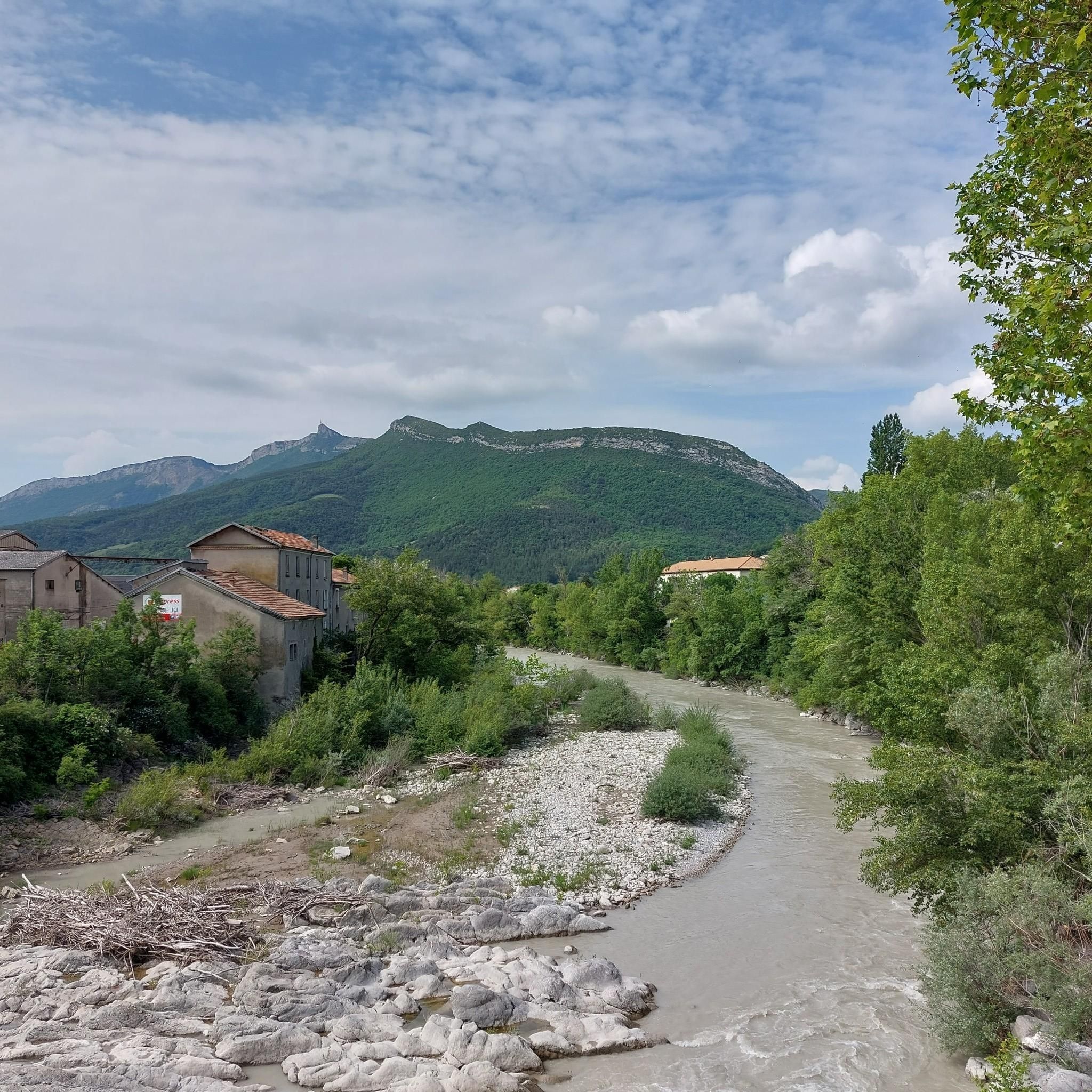
Touring cycling around Serres offers routes through varied landscapes, including valleys, hills, and mountainous terrain. The region is characterized by a mix of paved and unpaved surfaces, with routes often featuring significant elevation gains. Cyclists can explore picturesque countryside with vineyards and olive groves, alongside historical landmarks.
Best touring cycling routes around Serres
- The most popular touring cycling route is Col de Carabès – Route de Sigottier loop from Serres, a 59.8 miles (96.2 km) trail that takes 6…
Last updated: July 8, 2026
5.0
(3)
48
riders
96.6km
06:44
1,840m
1,840m
Hard bike ride. Very good fitness required. Mostly paved surfaces. Suitable for all skill levels.
4.8
(4)
48
riders
51.9km
03:19
640m
640m
Hard bike ride. Very good fitness required. Mostly paved surfaces. Suitable for all skill levels.

Sign up for free
3.0
(2)
46
riders
57.2km
03:41
690m
690m
Hard bike ride. Very good fitness required. Mostly paved surfaces. Suitable for all skill levels.
5.0
(2)
18
riders
31.0km
02:16
700m
700m
Hard bike ride. Very good fitness required. Mostly paved surfaces. Suitable for all skill levels.
5.0
(1)
15
riders
57.9km
03:39
690m
690m
Hard bike ride. Very good fitness required. Mostly paved surfaces. Suitable for all skill levels.
Get access to more routes and recommendations from other explorers.
Sign up for free
Already have an account?
Our route recommendations are based on thousands of hikes, rides, and runs completed by other people on komoot.
Start today with a free account
Your next adventure awaits.
Login or Signup
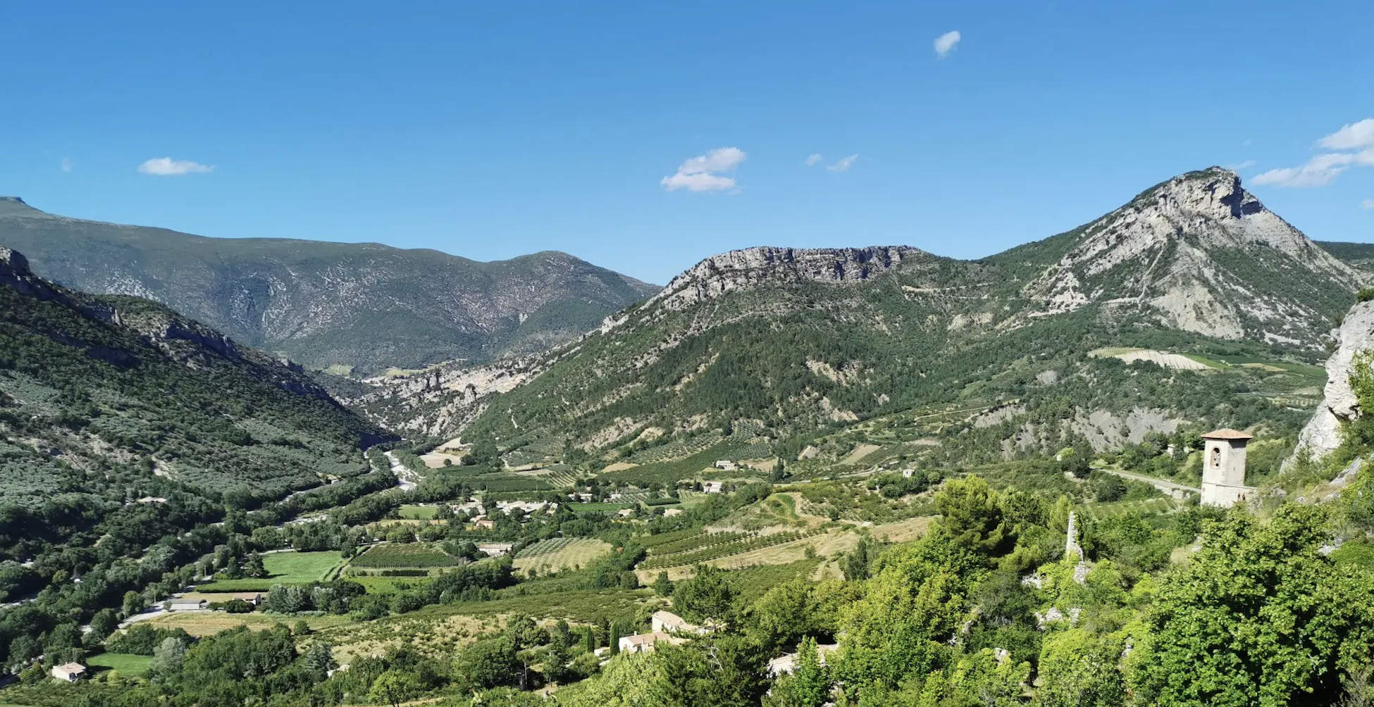
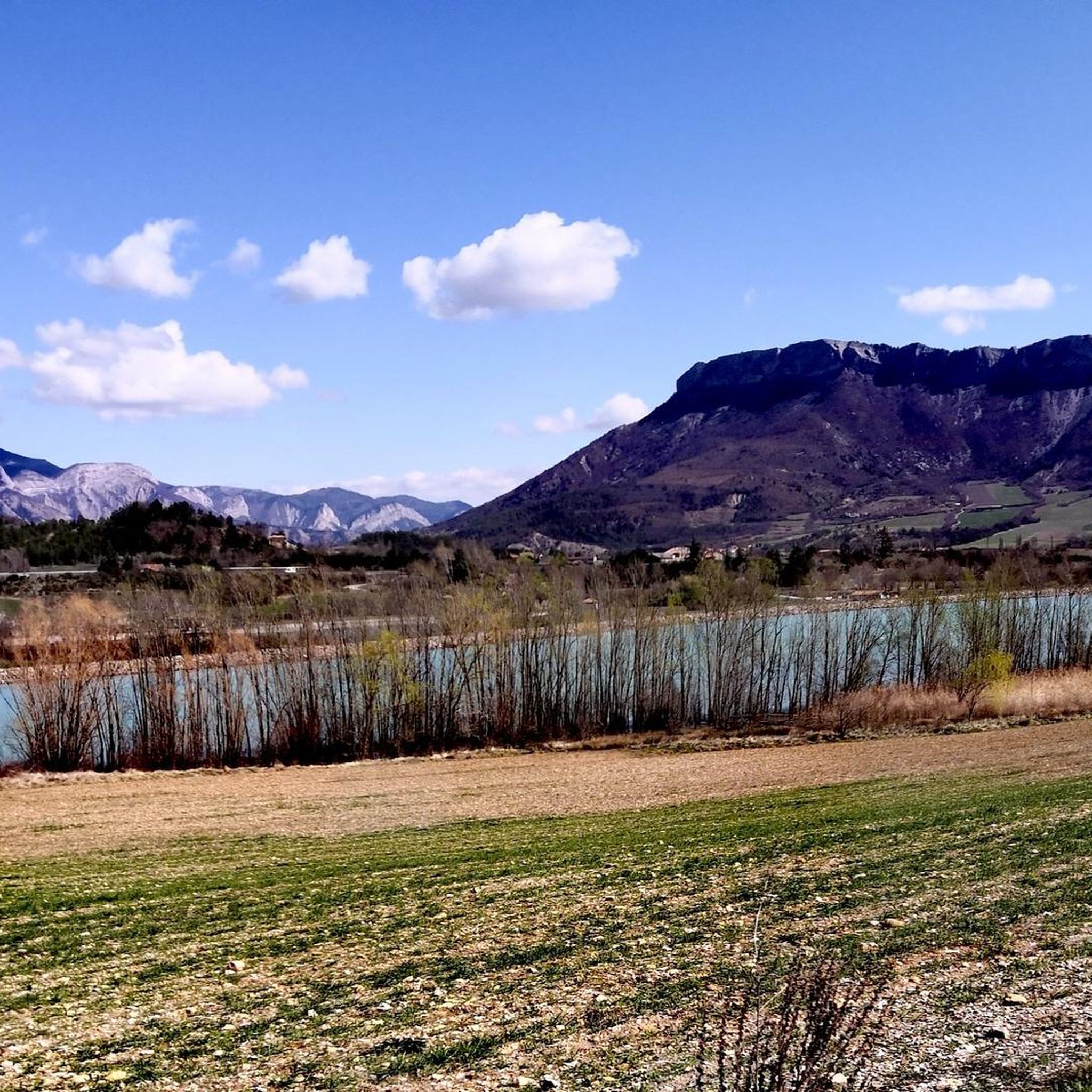
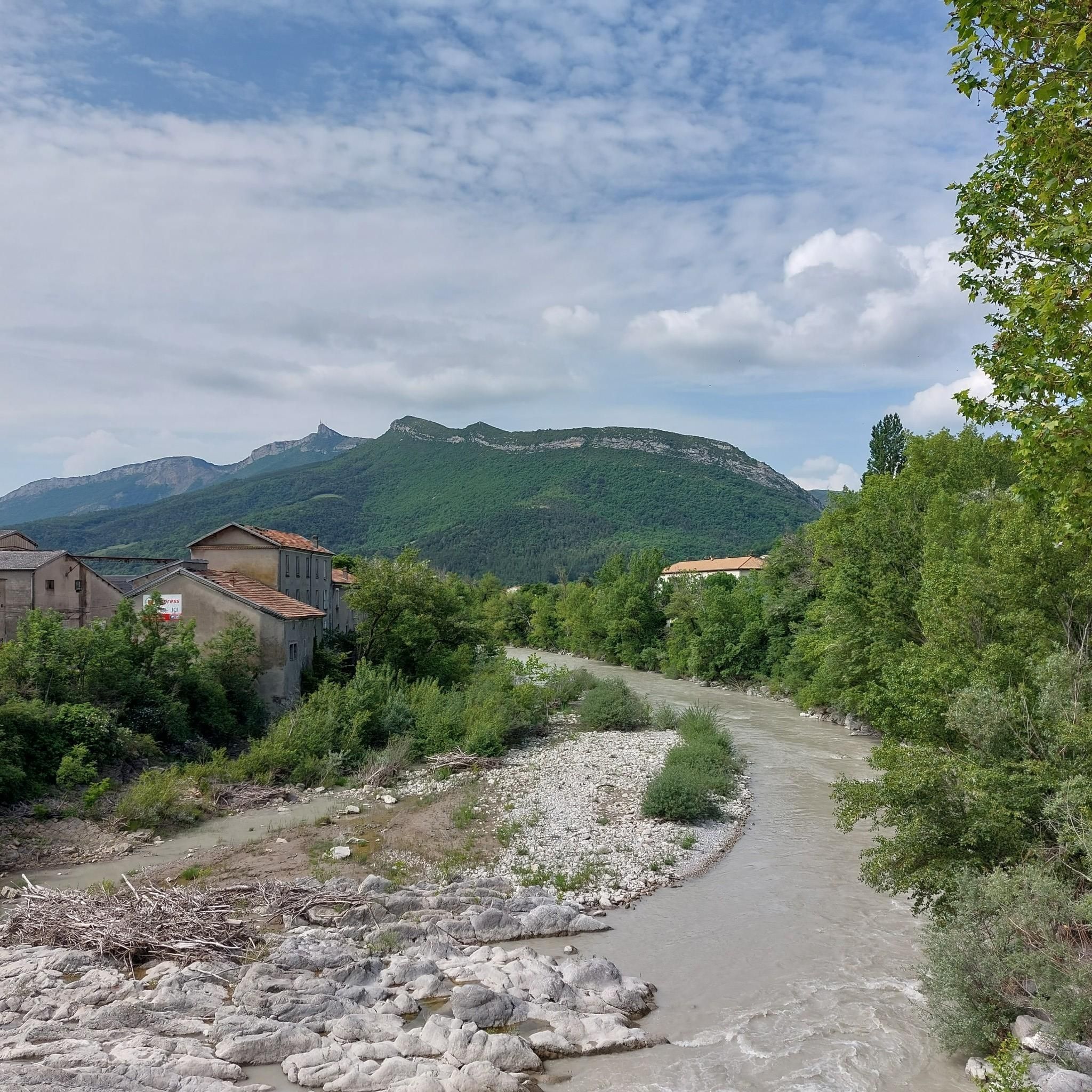

Other adventures around Serres

Tips from the Community

The cliffs of Falaises de Sigottier are located near the small village of Sigottier, in the Provence-Alpes-Côte d'Azur region.
13
0
Here you can take different paths
12
0
Col de la Saulce is a pass in the Baronnies, located in the Hautes-Alpes department, at an altitude of 874 m. It connects the Eygues valley with the Buëch valley and is crossed by the departmental road D994.
9
0
The Col de Faye is a mountain pass in the Southern Alps, located in the department of Hautes-Alpes at an altitude of approximately 922 to 924 meters. It connects the Buëch valley to the Durance valley — between the municipalities of Savournon and Ventavon — via the departmental road D21.
13
0
Very beautiful square. The fountain is well designed.
12
0
Secondary road off the traffic.
10
0
Here you can enjoy a wonderful view.
9
0
It is therefore a pass of modest dimensions, rather constant but at times challenging – typical of the area: short, secluded and scenic.
8
0
Frequently Asked Questions
What types of terrain can I expect on touring cycling routes around Serres?
Touring cycling routes around Serres feature a diverse mix of terrain. You'll encounter both paved and unpaved surfaces, including gravel paths. Many routes involve significant elevation gains, offering challenging climbs and rewarding descents through picturesque countryside, vineyards, olive groves, and mountainous areas.
Are there challenging touring cycling routes for experienced riders in Serres?
Yes, Serres is particularly well-suited for experienced touring cyclists. Out of the 13 available routes, 9 are rated as difficult. An example of a challenging route is the Col de Carabès – Route de Sigottier loop from Serres, which covers 96.2 km with over 1800 meters of elevation gain.
Are there any moderate touring cycling routes in Serres?
Yes, for those seeking a less intense but still engaging experience, there are 4 moderate touring cycling routes available. These routes still offer varied terrain and scenic views without the extreme elevation changes of the difficult trails.
What historical landmarks or natural features can I see along the cycling routes?
As you cycle around Serres, you can encounter several historical and natural points of interest. Notable landmarks include the Col de Carabès and Faye Pass. The region also boasts picturesque countryside with vineyards, olive groves, and stunning mountain views. You might also pass through charming settlements like Orpierre.
Are there any circular touring cycling routes in Serres?
Yes, many touring cycling routes in Serres are designed as loops, allowing you to start and end in the same location. For example, the View of the Valley Basin – Faye Pass loop from Serres is a difficult 51.9 km circular path offering scenic views.
What do other touring cyclists say about the routes in Serres?
The touring cycling routes in Serres are highly regarded by the komoot community, holding an average rating of 4.5 stars from over 40 reviews. Cyclists often praise the diverse terrain, the challenging climbs, and the rewarding mountain views.
What is the best time of year for touring cycling in Serres?
The best time for touring cycling in Serres is generally during the spring and autumn months when the weather is milder. These seasons offer comfortable temperatures for longer rides and showcase the region's natural beauty, from blooming landscapes to vibrant autumn colors, without the intense heat of summer or the chill of winter.
Are there any touring cycling routes that follow rivers or offer unique natural scenery?
Yes, you can find routes that explore unique natural settings. The Gravel along the river loop from Serres is a 57.2 km trail that takes you through riverside areas, offering a different kind of scenic experience with gravel sections.
Are there bike-friendly accommodations available in Serres?
Yes, Serres is known for its bike-friendly accommodations. Many establishments cater to touring cyclists by providing amenities such as secure bike storage, repair kits, and cycling maps, ensuring a comfortable and convenient stay after a day on the trails.
Can I find places to eat and drink near the cycling routes in Serres?
Absolutely. Serres boasts a delightful culinary scene, offering traditional Greek cuisine made from local ingredients. You'll find various cafes, tavernas, and restaurants in the villages and towns along or near the cycling routes, perfect for refueling and experiencing local flavors.
Is there a route that offers views of the valley basin?
Yes, the View of the Valley Basin – Faye Pass loop from Serres is a difficult 51.9 km route specifically designed to offer expansive views of the valley basin, alongside challenging ascents.
What is the elevation gain like on the touring cycling routes in Serres?
The touring cycling routes in Serres often feature significant elevation gains. For instance, the Espréaux Pass – Faye Pass loop from Serres, a 75.7 km route, includes over 1000 meters of climbing, providing a substantial workout for cyclists.
Most popular attractions around Serres

Get inspired with the komoot mobile app


Explore more
Browse the best Cycling routes in other regions.
