The best MTB trails around Lardiers
4.4
(55)
427
riders
37
rides
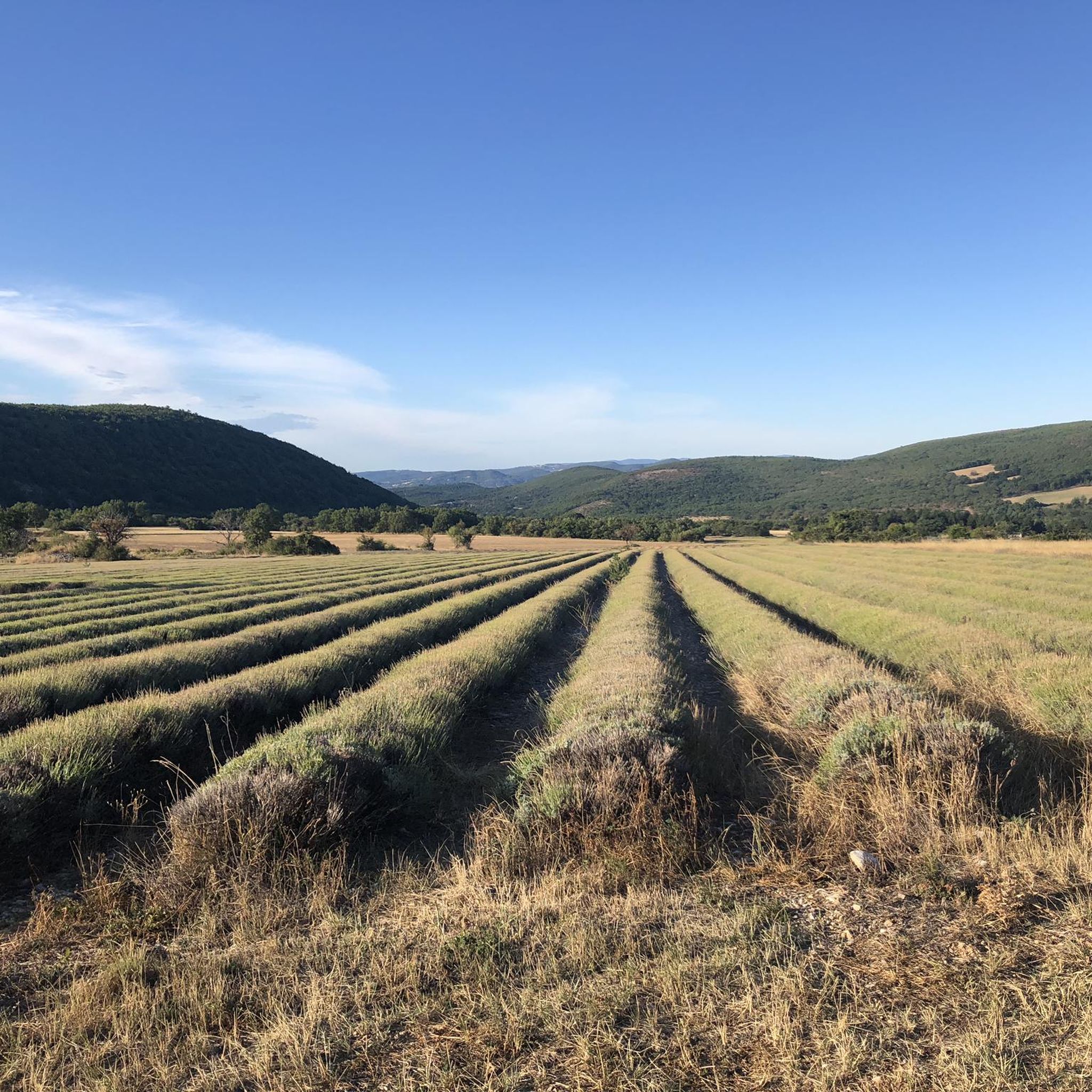
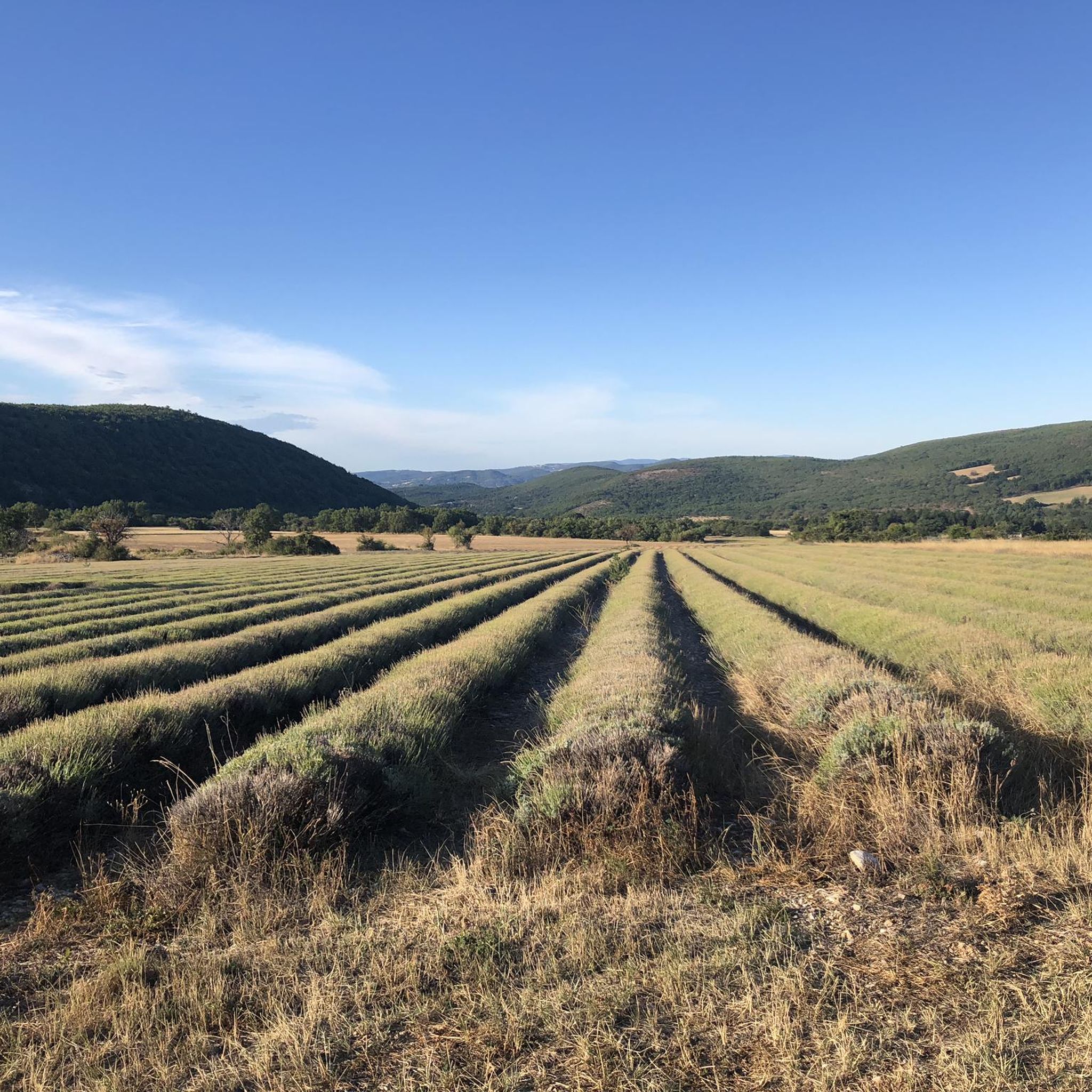
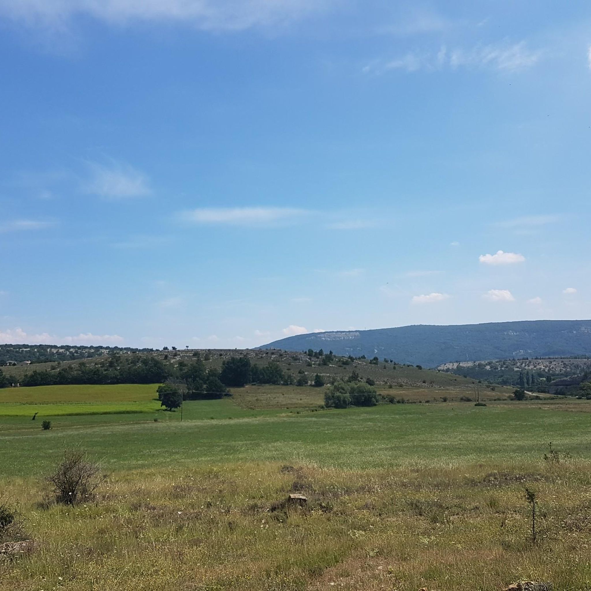
Mountain bike trails around Lardiers are set within a tranquil valley in the Alpes-de-Haute-Provence, characterized by expansive lavender fields and low forested hills. The region is dominated by the Montagne de Lure, which provides a dramatic backdrop and diverse terrain for mountain biking. Its north slopes feature larch, beech, and fir forests, while the south side offers Provençal scenery with lavender fields and cedars, transitioning to pastures at higher elevations. This landscape provides a mix of challenging ascents and varied…
Last updated: July 8, 2026
4.0
(6)
70
riders
32.0km
03:29
1,150m
1,150m
Hard mountain bike ride. Very good fitness required. Advanced riding skills necessary.
4.3
(8)
69
riders
29.0km
03:05
1,020m
1,020m
Hard mountain bike ride. Very good fitness required. Advanced riding skills necessary.

Sign up for free
5.0
(5)
60
riders
46.1km
05:01
1,370m
1,380m
Hard mountain bike ride. Very good fitness required. Suitable for all skill levels.
2.0
(1)
12
riders
26.2km
02:40
610m
610m
Moderate mountain bike ride. Good fitness required. Suitable for all skill levels.
4.5
(2)
13
riders
25.4km
03:13
1,000m
1,000m
Hard mountain bike ride. Very good fitness required. Advanced riding skills necessary.
Get access to more routes and recommendations from other explorers.
Sign up for free
Already have an account?
Our route recommendations are based on thousands of hikes, rides, and runs completed by other people on komoot.
Start today with a free account
Your next adventure awaits.
Login or Signup
Tips from the Community


best panoramic view, absolutely recommended!
0
0

Beautiful village with a famous bookstore, narrow streets and some well-kept shops.
1
0

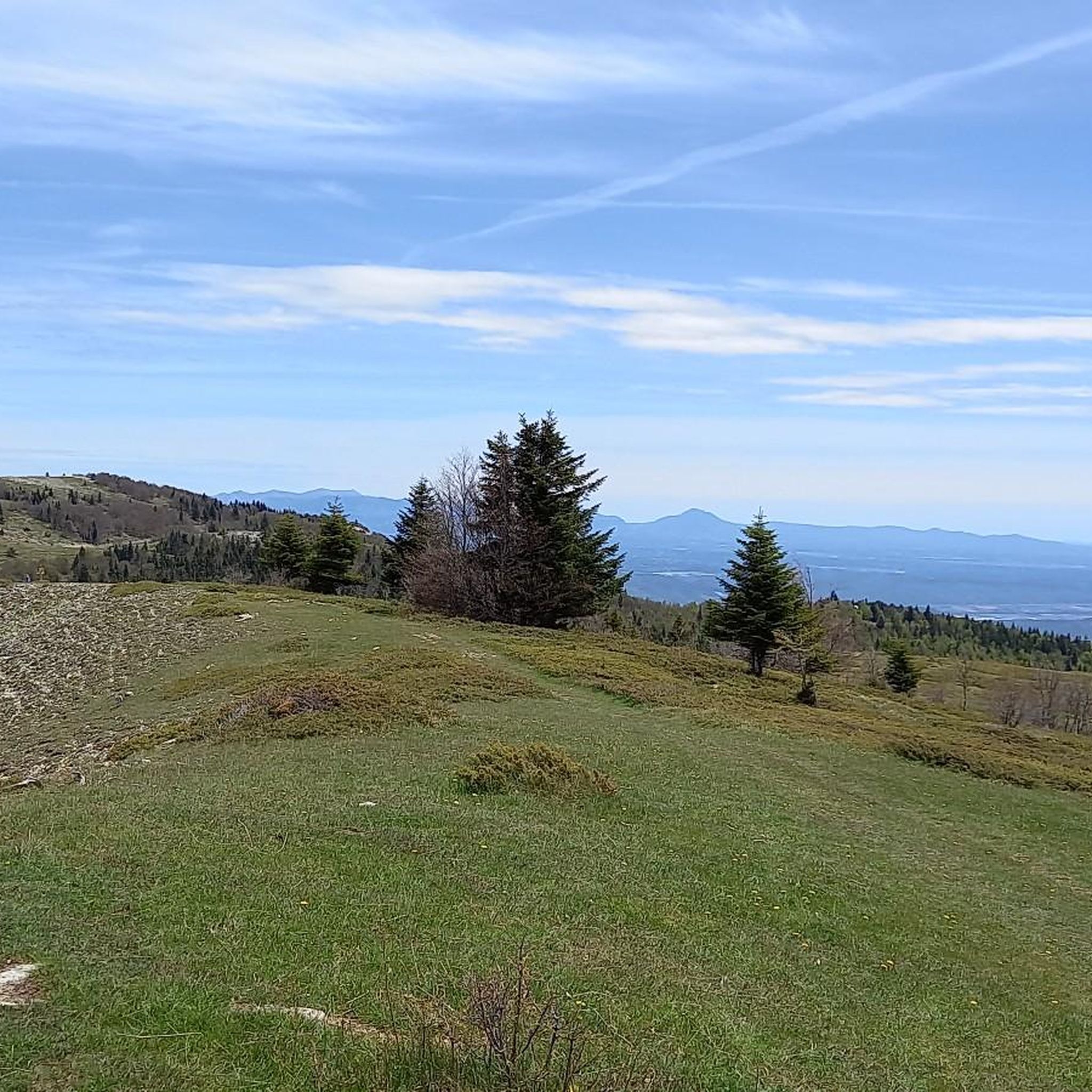
The Ventoux's little brother. With a length of 17.7 kilometres and an ascent of 1054 vertical metres and a gradient of 5.9% on average, which implies a difficulty level of 688. The summit of the climb is located at 1746 metres above sea level. At the top the views are fabulous both towards Ventoux itself and towards the Alps. A long, very pleasant and fun climb that is worth the effort with percentages that remain around 5/6/7% and some peaks of up to 9.3%. The last 2 kilometres are very easy.
2
0

Indescribable view of the Alps
1
0

To consume without moderation ...
0
0
Frequently Asked Questions
What kind of terrain can I expect on mountain bike trails around Lardiers?
The mountain bike trails around Lardiers offer a diverse range of terrain. You'll find yourself riding through tranquil valleys with expansive lavender fields, low forested hills, and the dramatic slopes of the Montagne de Lure. The north side of Montagne de Lure features larch, beech, and fir forests, while the south side presents classic Provençal scenery with lavender and cedars, transitioning to pastures at higher elevations. Expect a mix of challenging ascents and varied descents, including some rocky sections, particularly on the Montagne de Lure.
Are there mountain bike trails suitable for beginners or families in Lardiers?
Yes, the network of mountain bike trails around Lardiers includes options for various ability levels. While many routes are moderate to difficult, there is at least one easy trail available. For families or beginners, look for routes with less elevation gain and smoother paths. The broader Alpes-de-Haute-Provence region, which Lardiers is part of, is known for offering routes catering to all abilities.
What are some scenic spots or natural features to look out for on the trails?
The trails offer numerous scenic spots. You'll ride through fragrant lavender fields and enjoy panoramic views from the higher elevations of the Montagne de Lure. Specific highlights include the Montagne de Lure Pass and the View from the Pas de la Graille. The region is also characterized by its diverse forests and the dramatic backdrop of the Montagne de Lure itself.
Are there any loop mountain bike trails around Lardiers?
Yes, many of the mountain bike trails around Lardiers are designed as loops, allowing you to start and finish at the same point. Examples include the difficult Saint-Étienne-les-Orgues – Montagne de Lure Pass loop from Saint-Étienne-les-Orgues, which covers 32.0 km, and the Montagne de Lure Pass – Signal de Lure summit loop from Aire du sommet de Lure, a 29.5 km route leading to the summit.
What is the best time of year for mountain biking in Lardiers?
The best time for mountain biking in Lardiers is generally from spring through autumn. During these seasons, the weather is typically pleasant, and the lavender fields are in bloom, offering a beautiful backdrop. Summer can be hot, so early mornings or late afternoons are preferable. Winter riding might be possible on lower trails, but higher elevations on Montagne de Lure could be affected by snow or colder conditions.
Can I bring my dog on the mountain bike trails?
While specific regulations for dogs on mountain bike trails in Lardiers are not detailed, it's generally advisable to keep dogs on a leash, especially in natural areas to protect wildlife and ensure the safety of other trail users. Always check local signage for any specific restrictions in certain areas or nature reserves.
Are there any permits required for mountain biking in the Lardiers area?
Generally, no specific permits are required for mountain biking on public trails around Lardiers. However, if you plan to ride on private land or in designated protected areas, it's always best to check for any specific regulations or permissions needed. The Montagne de Lure area is largely accessible for outdoor activities.
What do other mountain bikers enjoy most about the trails in Lardiers?
The mountain bike trails around Lardiers are highly rated by the komoot community, with an average score of 4.5 stars from over 49 reviews. Riders often praise the varied terrain, from tranquil valleys to the challenging slopes of Montagne de Lure, and the stunning Provençal scenery, including lavender fields and diverse forests. The sense of exploration and the rewarding views from higher points are frequently highlighted.
Are there any places to eat or drink near the mountain bike trails?
Lardiers itself is a small village, but you can find amenities in nearby towns. For example, the route View of Banon and Surroundings – Banon loop from Banon passes through Banon, which is known for its local produce and likely offers cafes or restaurants. It's a good idea to plan your route and check for available services in the villages you pass through.
What are the typical distances and elevation gains for mountain bike routes in this area?
The mountain bike routes around Lardiers vary significantly in length and elevation. For example, difficult routes like the Saint-Étienne-les-Orgues – Montagne de Lure Pass loop cover about 32 km with over 1150 meters of elevation gain. Moderate routes, such as The Old Mills Ruins – Banon loop, are around 26 km with over 600 meters of ascent. There are also easier, shorter options available.
How accessible are the mountain bike trails by public transport or car parking?
Access to mountain bike trails in the Lardiers area is primarily by car, as public transport options are limited in this rural region. Many trailheads, especially for routes starting from villages like Saint-Étienne-les-Orgues or Banon, typically have designated parking areas. For routes on Montagne de Lure, you might find parking at specific points like the Aire du sommet de Lure, which is a starting point for the Montagne de Lure Pass – Signal de Lure summit loop.
Are there any specific mountain biking areas or parks nearby?
Lardiers is situated within the Alpes-de-Haute-Provence, which is considered France's largest mountain biking area, boasting over 100 signposted routes. The Montagne de Lure itself features an Enduro MTB Trail with a significant 1000m descent. While not a dedicated bike park, the entire region offers an extensive network of trails for various mountain biking disciplines.
Most popular attractions around Lardiers

Get inspired with the komoot mobile app


Explore more
Browse the best MTB trails in other regions.
