The best road cycling routes around Juilley
4.3
(89)
2,051
riders
260
rides
Road cycling routes around Juilley traverse the rolling countryside of Normandy, characterized by river valleys and open agricultural land. The region offers varied terrain, including routes along the Sélune Riverbank and paths providing views of Mont Saint-Michel. Elevation gains are generally moderate, making the area suitable for diverse cycling abilities.
Best road cycling routes around Juilley
- The most popular road cycling route is Sélune Riverbank – View of Mont Saint-Michel loop from Le Val-Saint-Père, a 36.0 miles (58.0 km) trail that takes 2 hours 36 minutes to complete. This route offers scenic views of Mont Saint-Michel along the Sélune River.
- Another top favourite among local road cyclists is Sélune Riverbank – The dam on the Couesnon loop from Pontaubault, a moderate 40.6 miles (65.3 km) path. This route follows the Sélune River and includes a section near the dam on the Couesnon, offering a mix of riverside and open countryside scenery.
- Local road cyclists also love the Sélune Riverbank – View of Mont Saint-Michel loop from Ancienne Abbaye de Montmorel, a 48.4 miles (77.8 km) trail leading through river valleys and past historical sites, often completed in about 3 hours 51 minutes.
- Road cycling around Juilley is defined by riverbanks, views of Mont Saint-Michel, and rolling countryside. The network offers options for easy, moderate, and difficult routes, catering to different ability levels.
- The routes in Juilley are highly rated by the komoot community with an average score of 4.4 stars from over 70 reviews. More than 2000 road cyclists have used komoot to explore Juilley's varied terrain.
Last updated: July 19, 2026
4.6
(9)
228
riders
106km
04:38
340m
340m
Moderate road ride. Good fitness required. Some segments of this route may be unpaved and difficult to ride.
35
riders
66.8km
03:10
440m
440m
Moderate road ride. Good fitness required. Some segments of this route may be unpaved and difficult to ride.

Sign up for free
8
riders
Moderate road ride. Good fitness required. Some segments of this route may be unpaved and difficult to ride.
8
riders
Moderate road ride. Good fitness required. Some segments of this route may be unpaved and difficult to ride.
5
riders
53.8km
02:31
660m
660m
Moderate road ride. Good fitness required. Mostly well-paved surfaces and easy to ride.
Get access to more routes and recommendations from other explorers.
Sign up for free
Already have an account?
Our route recommendations are based on thousands of hikes, rides, and runs completed by other people on komoot.
Start today with a free account
Your next adventure awaits.
Login or Signup

Tips from the Community

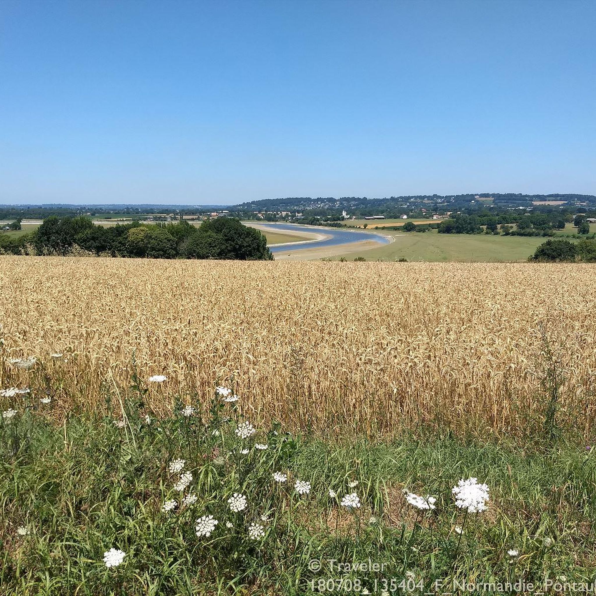
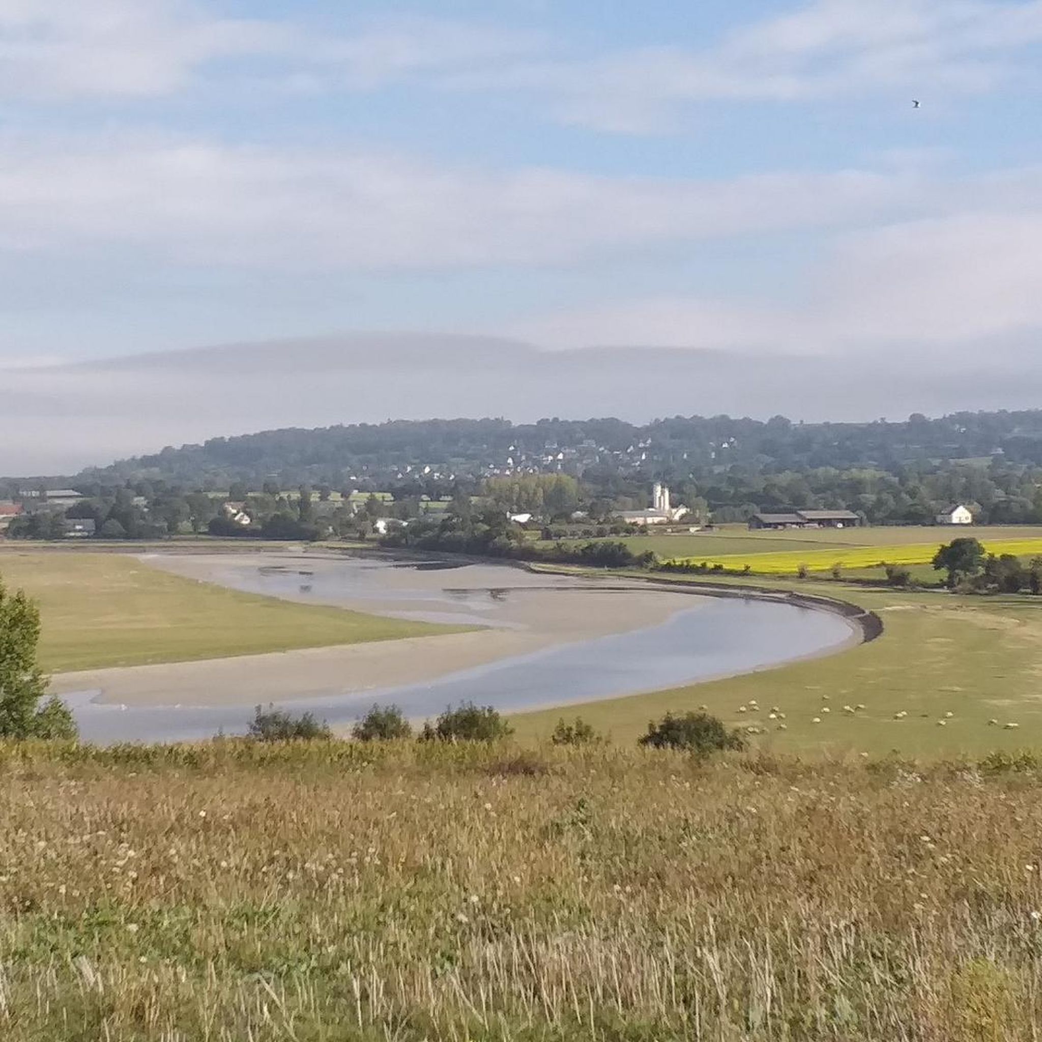
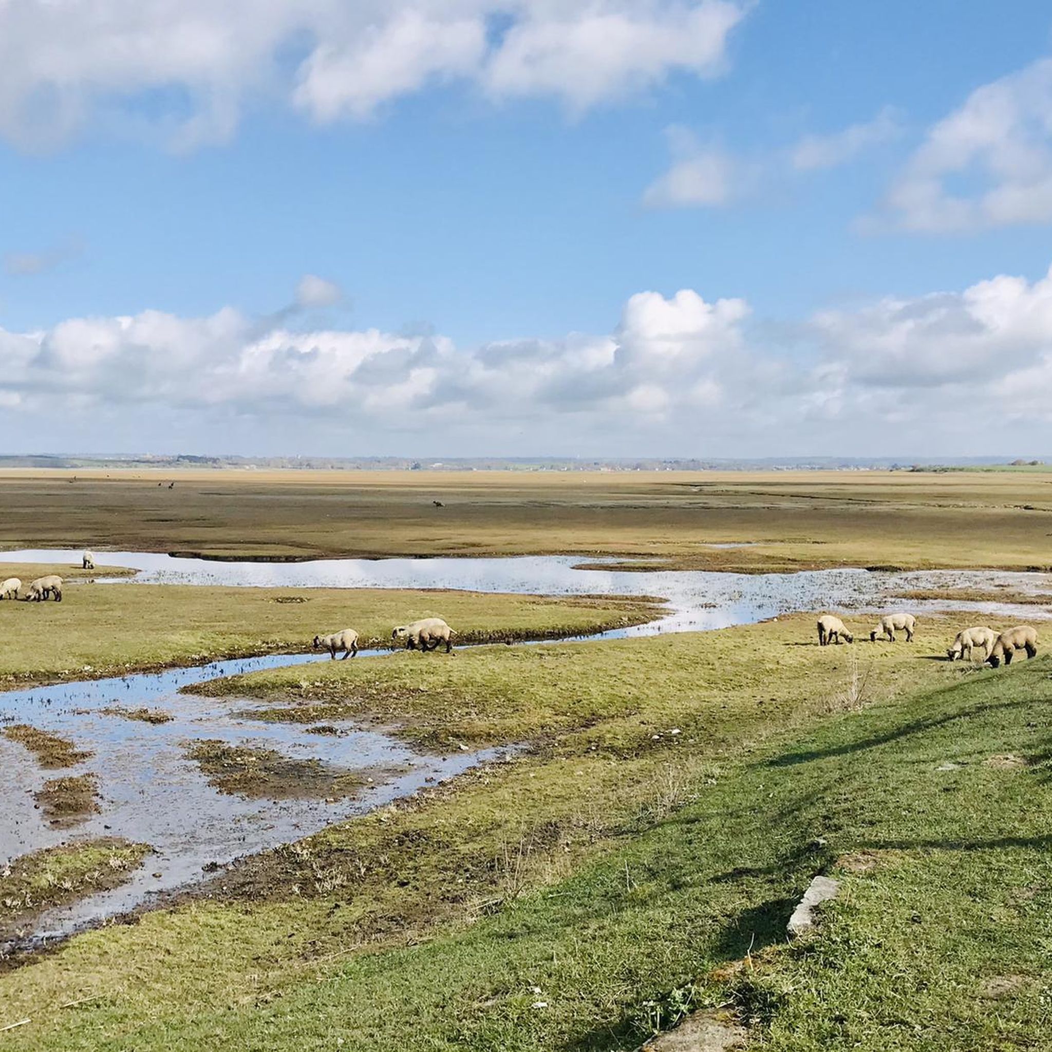
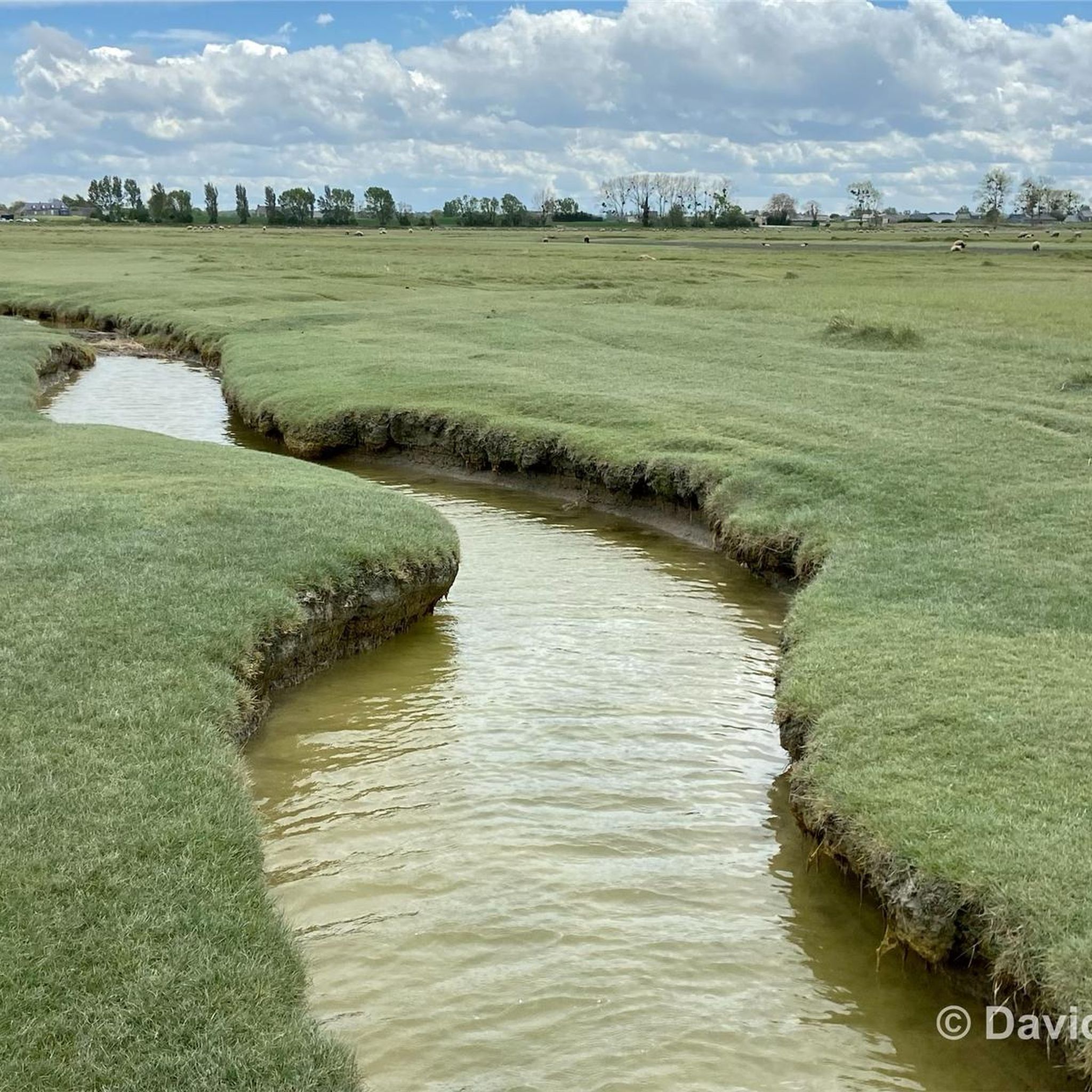
The footpath along the Couesnon to the dam already offers an impressive view of Mont-Saint-Michel. From here, the path with an unobstructed view leads across the salt marshes and the bay, with the landmark of Normandy impressively rising against the wide landscape. Especially in calm weather and with changing light, atmospheric views emerge of Mont-Saint-Michel, the course of the Couesnon river, and the tide-shaped surroundings.
2
0
The Couesnon dam (Barrage du Couesnon) was completed in 2009 and is part of the measures to preserve the bay of Mont-Saint-Michel. The facility regulates the water flow of the Couesnon and supports the natural removal of sediments by the tides. This is intended to counteract the increasing silting up of the bay and preserve the special character of Mont-Saint-Michel as a tidal island. The dam also offers a popular viewpoint with a view of Mont-Saint-Michel and the surrounding salt marshes.
1
0
The city's development was primarily shaped by fishing, seafaring, and oyster farming. As early as the Middle Ages, oysters from Cancale were known beyond the region and later became an important economic sector. The port of La Houle developed into the center of maritime life. Today, Cancale, with its coastal landscape, port facilities, and vibrant oyster tradition, recalls its long history as a fishing and port town.
11
0

From there it looks the strongest !!!
1
0

This is all about oysters. The bay is full of oyster beds, which are immediately consumed at the harbor.
0
0

Parts of the route along the sea do not exist or are forbidden for bicycles
0
0

Old priory attached to Mont Saint Michel, the ultimate stage for pilgrims before the Merveille.
0
0
Frequently Asked Questions
How many road cycling routes are available around Juilley?
There are over 240 road cycling routes around Juilley, offering a wide range of options for different skill levels. The komoot community has rated these routes highly, with an average score of 4.4 stars.
What kind of terrain can I expect on road cycling routes in Juilley?
Road cycling routes around Juilley feature a rolling countryside landscape, characterized by river valleys and open agricultural land. You'll find varied terrain, including paths along the Sélune Riverbank and routes with views of Mont Saint-Michel. Elevation gains are generally moderate, making the area suitable for diverse cycling abilities.
Are there easy road cycling routes suitable for beginners in Juilley?
Yes, Juilley offers several easy road cycling routes perfect for beginners. There are 24 routes classified as easy, providing a gentle introduction to the region's beautiful scenery without significant elevation challenges.
Can I find routes with significant elevation gain for a more challenging ride?
While the region is known for moderate elevation, there are routes that offer more challenge. For instance, the Ducey – La Grande Cascade de Mortain loop from Ducey-les-Chéris covers 42.3 miles (68.1 km) with over 700 meters of elevation gain, providing a more demanding experience.
Are there circular road cycling routes around Juilley?
Yes, many of the road cycling routes around Juilley are circular, allowing you to start and end your ride in the same location. An example is the Sélune Riverbank – View of Mont Saint-Michel loop from Le Val-Saint-Père, a 36.0-mile (58.0 km) route offering scenic views.
What are some scenic viewpoints or landmarks I can see along the routes?
Many routes offer stunning views and pass by interesting landmarks. You can enjoy a Breathtaking view of Mont Saint-Michel, or visit the historic Pontaubault Bridge. The Grouin du Sud and La Roche Torin also offer excellent viewpoints.
Are there any historical sites or castles to explore near the cycling paths?
Yes, you can incorporate historical exploration into your ride. The Sélune Riverbank – View of Mont Saint-Michel loop from Ancienne Abbaye de Montmorel leads past historical sites. You might also encounter Montgommery Castle or Château d'Avranches, which are notable attractions in the wider area.
What is a popular moderate road cycling route in the area?
A popular moderate route is the Sélune Riverbank – The dam on the Couesnon loop from Pontaubault. This 40.6-mile (65.3 km) path follows the Sélune River and includes a section near the dam on the Couesnon, offering a mix of riverside and open countryside scenery.
Are there road cycling routes that follow greenways or dedicated cycle paths?
Yes, some routes incorporate greenways. For example, the Ducey – Voie verte de la Véloscénie loop from Ducey-les-Chéris utilizes sections of the Véloscénie greenway, providing a pleasant and often traffic-free cycling experience.
What do other road cyclists enjoy most about cycling in Juilley?
The komoot community highly rates road cycling in Juilley, with an average score of 4.4 stars from over 70 reviews. Cyclists often praise the varied terrain, the scenic views of Mont Saint-Michel, and the peaceful routes along the Sélune Riverbank.
What is the best time of year for road cycling in Juilley?
The best time for road cycling in Juilley is typically from spring to early autumn, when the weather is mild and the countryside is in full bloom. The rolling hills and river valleys are particularly enjoyable during these seasons.
Are there options for longer road cycling tours around Juilley?
Yes, Juilley offers several longer routes for those seeking extended rides. Many moderate and difficult routes span over 40 miles (64 km), providing ample distance for a full day of cycling through the region's diverse landscapes.
Most popular attractions around Juilley

Get inspired with the komoot mobile app


Explore more
Browse the best Road cycling routes in other regions.
