The best walks and hikes around Camps-La-Source
4.5
(287)
1,670
hikers
15
hikes
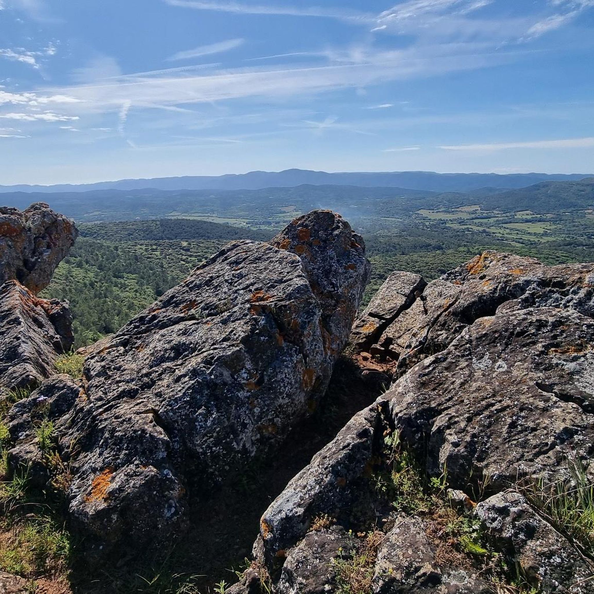
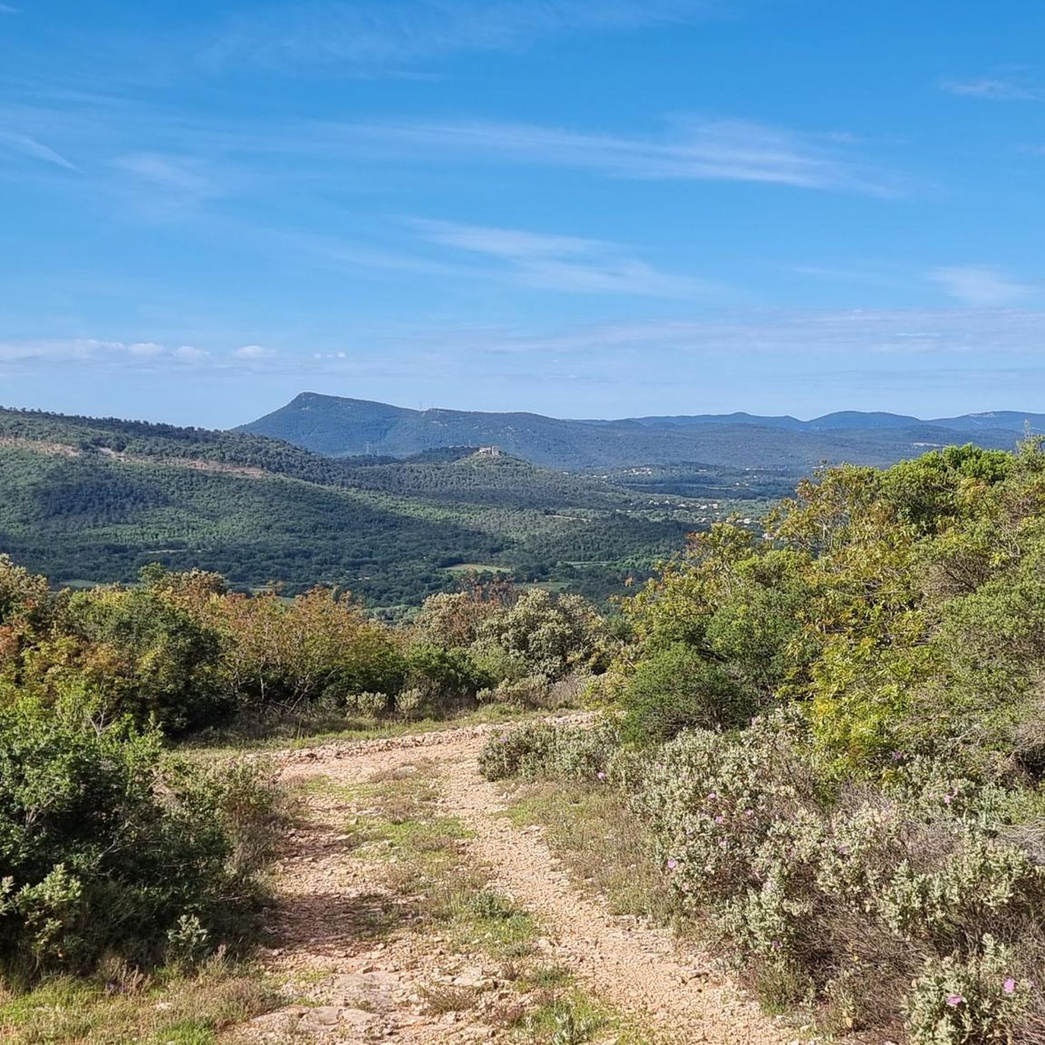
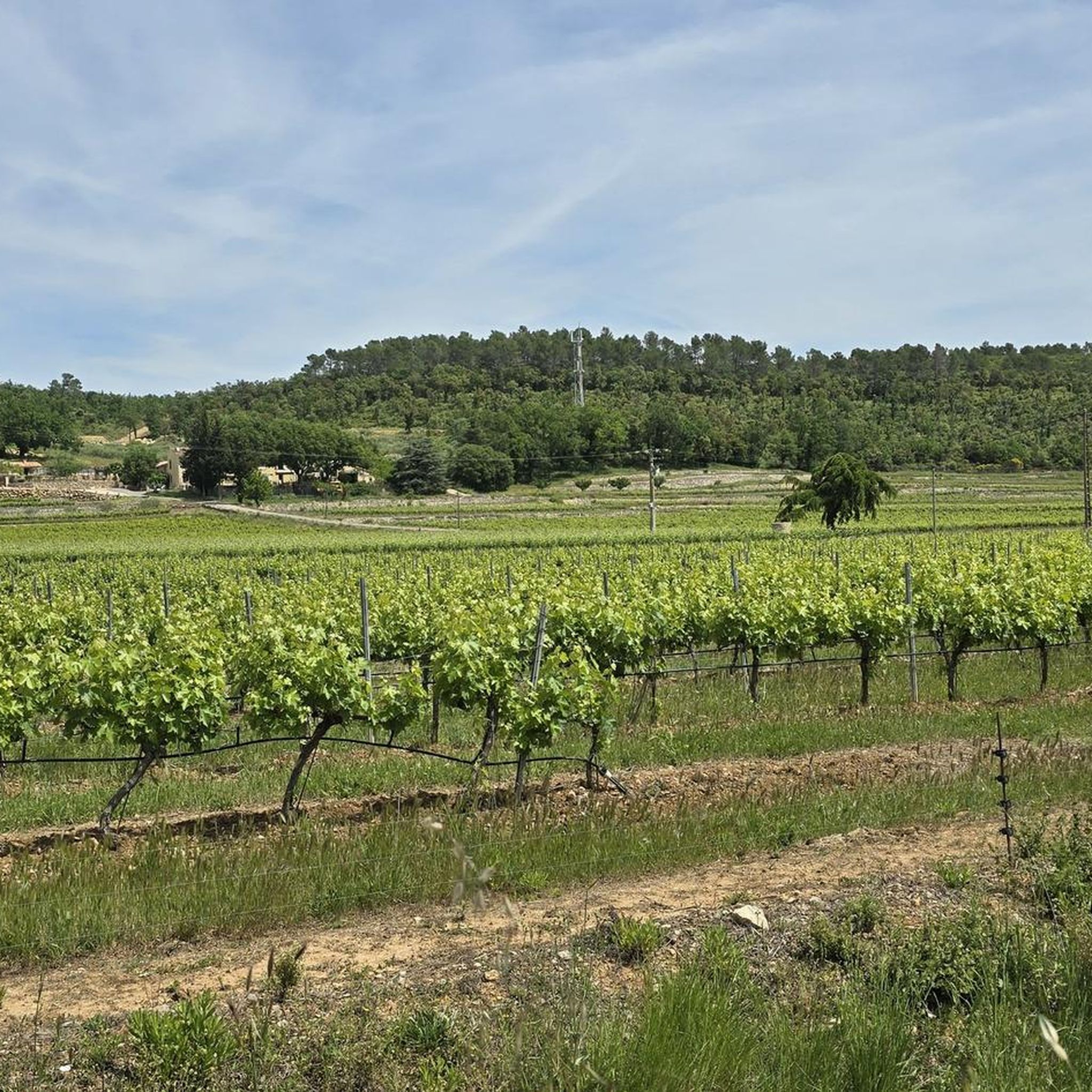
Hiking around Camps-La-Source offers exploration through the heart of Provence Verte. The region is characterized by rolling hills, lush vineyards, and extensive forests of pines and oaks, with numerous rivers contributing to its verdant landscape. A prominent natural feature is the Massif de Saint Quinis, providing varied terrain and elevated viewpoints. The village itself is situated at the foot of a slope where the "source of Camps" emerges.
Best hiking trails around Camps-La-Source
- The most popular hiking route is Barre…
Last updated: June 25, 2026
4.0
(5)
61
hikers
Moderate hike. Good fitness required. Easily-accessible paths. Suitable for all skill levels.
3.9
(7)
11
hikers
6.91km
01:56
130m
130m
Easy hike. Great for any fitness level. Easily-accessible paths. Suitable for all skill levels.

Sign up for free
5.0
(1)
12
hikers
13.7km
04:03
380m
380m
Moderate hike. Good fitness required. Easily-accessible paths. Suitable for all skill levels.
9
hikers
4.57km
01:22
140m
140m
Easy hike. Great for any fitness level. Easily-accessible paths. Suitable for all skill levels.
5.0
(1)
4
hikers
13.8km
04:02
350m
350m
Moderate hike. Good fitness required. Easily-accessible paths. Suitable for all skill levels.
Get access to more routes and recommendations from other explorers.
Sign up for free
Already have an account?
Our route recommendations are based on thousands of hikes, rides, and runs completed by other people on komoot.
Start today with a free account
Your next adventure awaits.
Login or Signup
Tips from the Community


Open church with magnificent architecture, a must see
0
0
In the heart of the village of Camps la source.
0
0

Take a little time and explore the small streets: simply beautiful!
0
0
A very difficult path to get there, but worth the effort! Sturdy hiking shoes are a must, as is sure-footedness. The view from up there is simply magnificent!
0
0
The way there, as we took it, was very difficult and the beautiful little chapel did us good.
1
0

Fantastic wild and well marked trail along the Barre de Saint-Quinis
0
1
Frequently Asked Questions
What kind of terrain can I expect on hikes around Camps-La-Source?
The hiking terrain around Camps-La-Source is diverse, characterized by rolling hills, lush vineyards, and extensive forests of pines and oaks. You'll also encounter the elevated landscapes of the Massif de Saint Quinis, which offers varied paths and rewarding viewpoints.
Are there any easy hiking trails suitable for beginners or families?
Yes, Camps-La-Source offers several easy trails. For instance, the Église Sainte-Marie – Vue sur camps loop from Camps-la-Source is a gentle 4.6 km path that takes about 1 hour 22 minutes, leading through the village surroundings. Another easy option is the Église Sainte-Marie – The source "la servi loop from Camps-la-Source, which is 6.7 km long.
What natural features or landmarks can I see while hiking in the area?
The region is rich in natural beauty and historical sites. You can explore the Massif de Saint Quinis, known for its chestnut forests and expansive views. Nearby, you might discover the tranquil Caramy Waterfalls or the serene Lake Sainte Suzanne (also known as Lac de Carcès). The village itself features the historic 'source of Camps' and charming old stone houses.
Are there any circular hiking routes available?
Yes, many of the trails around Camps-La-Source are circular, allowing you to start and end at the same point. An example is the Barre de Saint-Quinis loop from ZA de la Caviere, a moderate 13.7 km route that explores the Massif de Saint Quinis.
What do other hikers enjoy most about the trails in Camps-La-Source?
The trails in Camps-La-Source are highly rated by the komoot community, with an average score of 4.5 stars from over 250 reviews. Hikers often praise the varied terrain, the beautiful views from the Massif de Saint Quinis, and the opportunity to discover local heritage and natural features.
How many hiking trails are there in Camps-La-Source?
There are over 15 hiking trails available around Camps-La-Source, catering to various difficulty levels from easy village loops to more moderate mountain trails.
Is Camps-La-Source a good destination for dog-friendly hikes?
While specific dog-friendly routes aren't highlighted, the natural landscapes of Provence Verte, with its forests and open spaces, generally offer good opportunities for hiking with dogs. Always ensure your dog is under control and check local regulations regarding pets on trails.
What is the best time of year to go hiking in Camps-La-Source?
The Provence Verte region, including Camps-La-Source, is particularly pleasant for hiking in the spring and autumn. During these seasons, the weather is typically mild, and the landscapes are vibrant, making for comfortable and scenic walks. Summers can be hot, so early morning or late afternoon hikes are recommended then.
Are there any historical or cultural points of interest along the hiking routes?
Absolutely. The region is dotted with historical and cultural sites. The 'Chapelles et Oratoires' hike, for example, allows you to discover restored religious heritage. You can also find the Église Saint-Pierre, the Saint-Quinis chapel, and other chapels like Saint Sebastian and Saint Martin, often integrated into local hiking paths.
Are there any longer or more challenging hikes for experienced hikers?
Yes, for those seeking a more challenging experience, there are moderate trails that offer greater distances and elevation gains. The Barre de Saint-Quinis – Saint-Anastasie Station loop from ZA de la Caviere is a moderate 15.5 km trail with significant elevation, taking around 4 hours 40 minutes to complete.
What kind of views can I expect from the trails?
Many trails, especially those in the Massif de Saint Quinis, offer expansive views. You can expect panoramic vistas stretching from the Verdon foothills to the Bessillons mountains, and from Candélon in Brignoles to the Barre de Cuers and Lake Besse, showcasing the luminous landscapes of Provence Verte.
Are there places to park near the trailheads in Camps-La-Source?
While specific parking locations for every trailhead are not detailed, Camps-La-Source is a village with amenities. It's generally advisable to look for designated parking areas within or on the outskirts of the village, or near known starting points for popular routes like those from ZA de la Caviere.
Most popular routes around Camps-La-Source
Most popular attractions around Camps-La-Source

Get inspired with the komoot mobile app


Explore more
Browse the best Hikes in other regions.
