The best running trails around Aubeterre
4.8
(32)
435
runners
18
runs
Jogging around Aubeterre offers a network of trails through the region's gentle countryside. The area is characterized by low elevation changes, making it suitable for various running abilities. Many routes follow river paths and pass through open fields, providing a tranquil setting for outdoor activity. The landscape primarily consists of rural paths connecting small villages, with some sections potentially offering views of local waterways.
Best jogging routes around Aubeterre
- The most popular jogging route is Running loop from Saint-Lyé,…
Last updated: July 5, 2026
121
runners
12.0km
01:16
10m
10m
Moderate run. Good fitness required. Mostly paved surfaces. Suitable for all skill levels.
15
runners
11.8km
01:18
10m
10m
Moderate run. Good fitness required. Mostly paved surfaces. Suitable for all skill levels.

Sign up for free
16
runners
9.95km
01:06
10m
10m
Moderate run. Good fitness required. Mostly paved surfaces. Suitable for all skill levels.
12
runners
8.09km
00:52
10m
10m
Moderate run. Good fitness required. Mostly paved surfaces. Suitable for all skill levels.
7
runners
12.0km
01:16
40m
40m
Moderate run. Good fitness required. Mostly paved surfaces. Suitable for all skill levels.
Get access to more routes and recommendations from other explorers.
Sign up for free
Already have an account?
Our route recommendations are based on thousands of hikes, rides, and runs completed by other people on komoot.
Start today with a free account
Your next adventure awaits.
Login or Signup


Tips from the Community

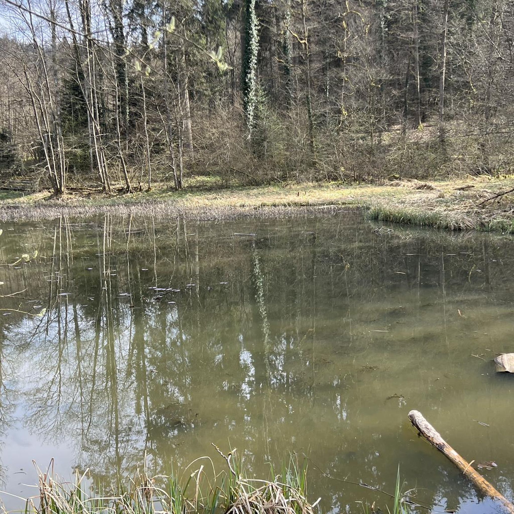
A "chemin de halage", in German "treidelpfad", which runs alongside the waterway right next to the bed of the river or canal, was an indispensable part of the transport infrastructure in earlier times. Before ships could move using motor power, horses ran along the bank and pulled the ship against the current. This was called "treideln", and this is how the "treidelpfads" got their name, which has been passed down to this day. Where these paths directly on the bank have been preserved, they are often used by hikers and cyclists.
0
0

do not hesitate to return to the main road then onto the canal at each crossing
0
0

This path, which was used to tow barges from the shore, offers a variety of landscapes, from forests to fields. The path is largely flat and easy to follow, and you can enjoy views of the river and surrounding countryside.
3
0

Tarmac but pleasant path Possibility of taking parallel paths in the forest
0
0
Frequently Asked Questions
How many running routes are available around Aubeterre?
There are 15 dedicated running routes around Aubeterre, offering a variety of options for different skill levels. These routes are highly rated by the komoot community, with an average score of 4.9 stars.
Are there easy jogging routes for beginners in Aubeterre?
Yes, Aubeterre offers several easy jogging paths suitable for beginners. For example, the Running loop from Creney-près-Troyes is an easy 4.8 km (3 miles) route with minimal elevation change, perfect for a gentle run.
What kind of terrain can I expect on running trails in Aubeterre?
The running trails in Aubeterre primarily feature gentle countryside, river paths, open fields, and rural tracks. The region is characterized by low elevation changes, making for generally smooth and accessible running surfaces.
Are there any long-distance running trails in the Aubeterre area?
Absolutely. For those looking for a longer run, the Running loop from Saint-Lyé is a challenging 15.2 km (9.5 miles) trail that takes about 1 hour 37 minutes to complete, offering varied terrain over a longer distance.
Can I find circular running routes in Aubeterre?
Many of the running routes in Aubeterre are circular, allowing you to start and finish at the same point. An example is the Running loop from Sainte-Maure, a 12 km (7.5 miles) trail that guides you through the local countryside.
What do other runners enjoy most about jogging in Aubeterre?
The komoot community highly rates the running experience in Aubeterre, with an average score of 4.9 stars from over 20 reviews. Runners often praise the tranquil setting, the variety of paths through open fields and along waterways, and the well-maintained rural tracks.
Are there running routes that follow waterways in Aubeterre?
Yes, several routes in Aubeterre follow river paths and waterways. The Towpath loop from Saint-Lyé is a great option, offering a moderate 11.8 km (7.3 miles) run along a consistent, flat surface next to a waterway.
Are the running trails in Aubeterre suitable for all fitness levels?
Yes, the network of running routes in Aubeterre caters to various ability levels. You'll find everything from easy, short paths for beginners to more challenging, longer trails for experienced runners, all within the region's gentle countryside.
Are there any running routes that pass through villages or offer views of local architecture?
Many routes in Aubeterre connect small villages and offer glimpses of local life and architecture as you run through the rural landscape. While specific architectural highlights aren't detailed for every route, the general character of the area includes charming village passages.
What is the best time of year to go running in Aubeterre?
Aubeterre's gentle countryside and varied trails make it suitable for running throughout much of the year. Spring and autumn offer pleasant temperatures and beautiful scenery, while summer mornings or evenings can be ideal for enjoying the open fields and river paths.
Are there any moderate running routes for those looking for a balanced challenge?
Certainly. The Running loop from Barberey-Saint-Sulpice is a moderate 8.1 km (5 miles) route, providing a good balance of distance and effort without significant elevation, perfect for a steady run.

Get inspired with the komoot mobile app


Explore more
Browse the best Running Trails & Routes in other regions.
