The best walks and hikes around Goupillières
4.5
(208)
1,229
hikers
207
hikes
Hiking around Goupillières offers a blend of historical immersion and natural beauty. The region is characterized by tufa rock formations, which have shaped the landscape and house unique troglodytic dwellings. Trails wind through the scenic Lys Valley, featuring picturesque views of fields and wooded areas. Hikers can explore ravines with notable flora, including old ferns, and experience a serene environment.
Best hiking trails around Goupillières
- The most popular hiking route is Thoiry Castle – Section of the Avre Aqueduct loop…
Last updated: July 15, 2026
4.4
(8)
17
hikers
6.27km
01:40
60m
60m
Easy hike. Great for any fitness level. Easily-accessible paths. Suitable for all skill levels.
5.0
(1)
10
hikers
11.3km
02:54
50m
50m
Moderate hike. Good fitness required. Easily-accessible paths. Suitable for all skill levels.

Sign up for free
6
hikers
12.9km
03:26
130m
130m
Moderate hike. Good fitness required. Easily-accessible paths. Suitable for all skill levels.
4.5
(2)
6
hikers
8.21km
02:06
30m
30m
Moderate hike. Good fitness required. Easily-accessible paths. Suitable for all skill levels.
3.0
(1)
5
hikers
7.03km
01:49
40m
40m
Easy hike. Great for any fitness level. Easily-accessible paths. Suitable for all skill levels.
Get access to more routes and recommendations from other explorers.
Sign up for free
Already have an account?
Our route recommendations are based on thousands of hikes, rides, and runs completed by other people on komoot.
Start today with a free account
Your next adventure awaits.
Login or Signup
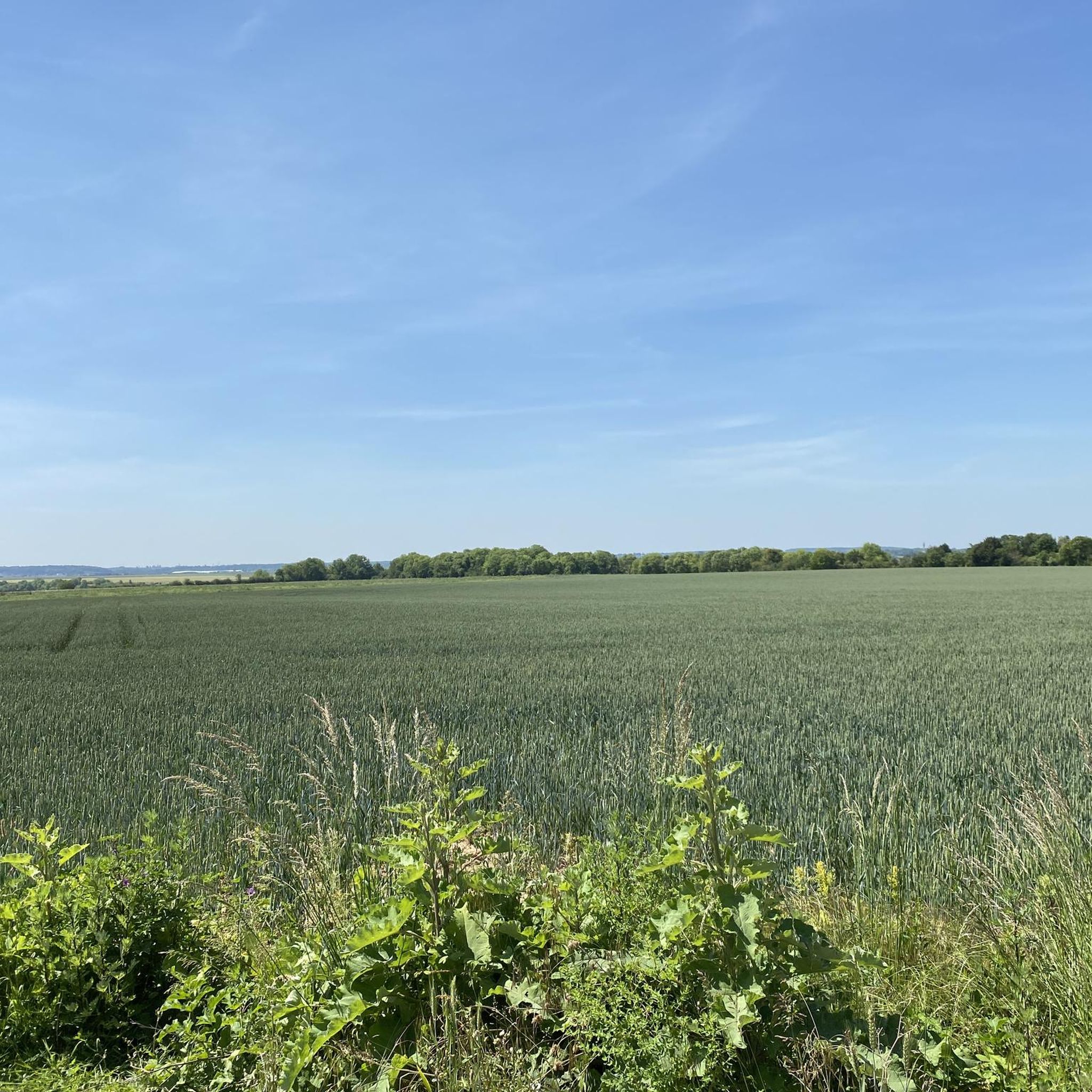
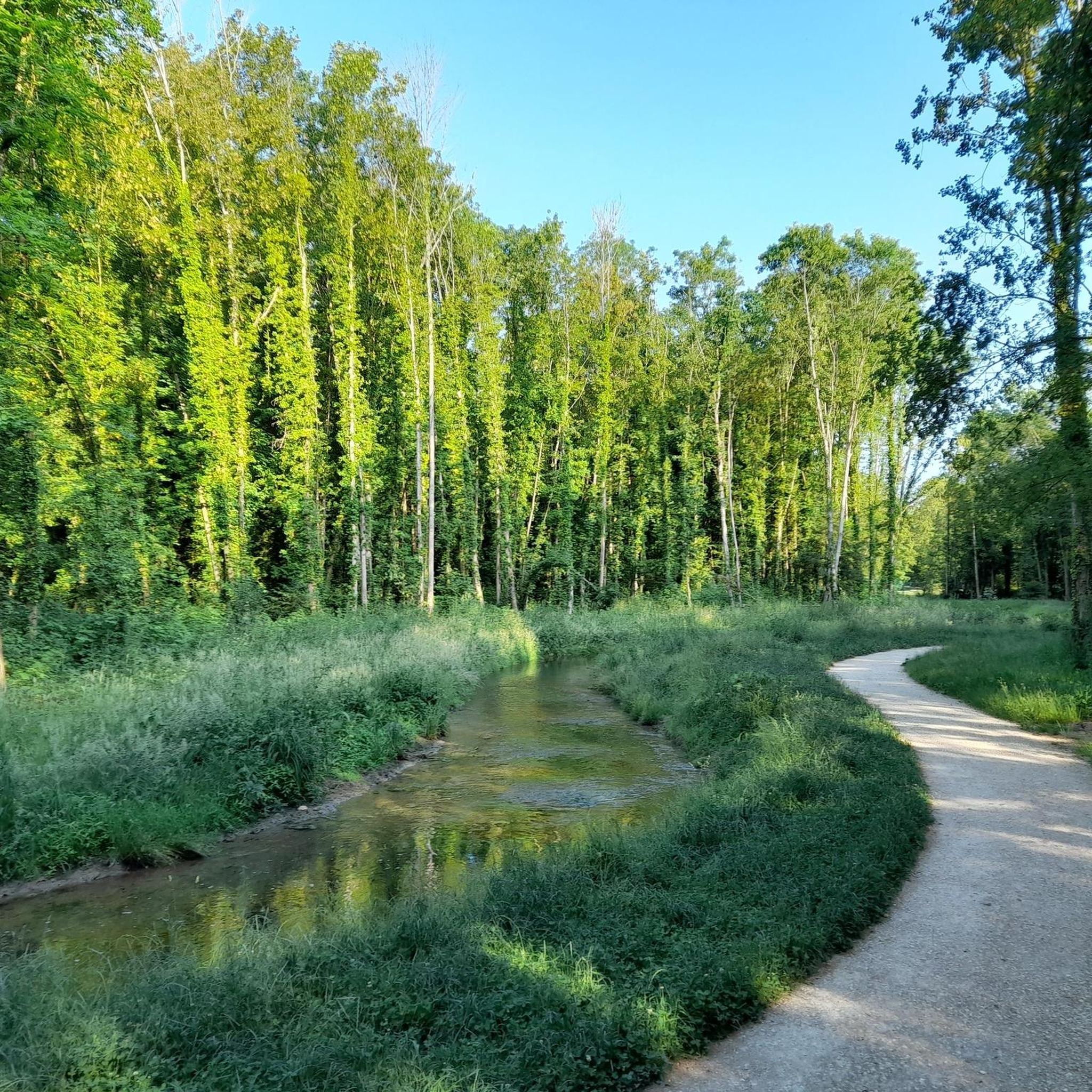

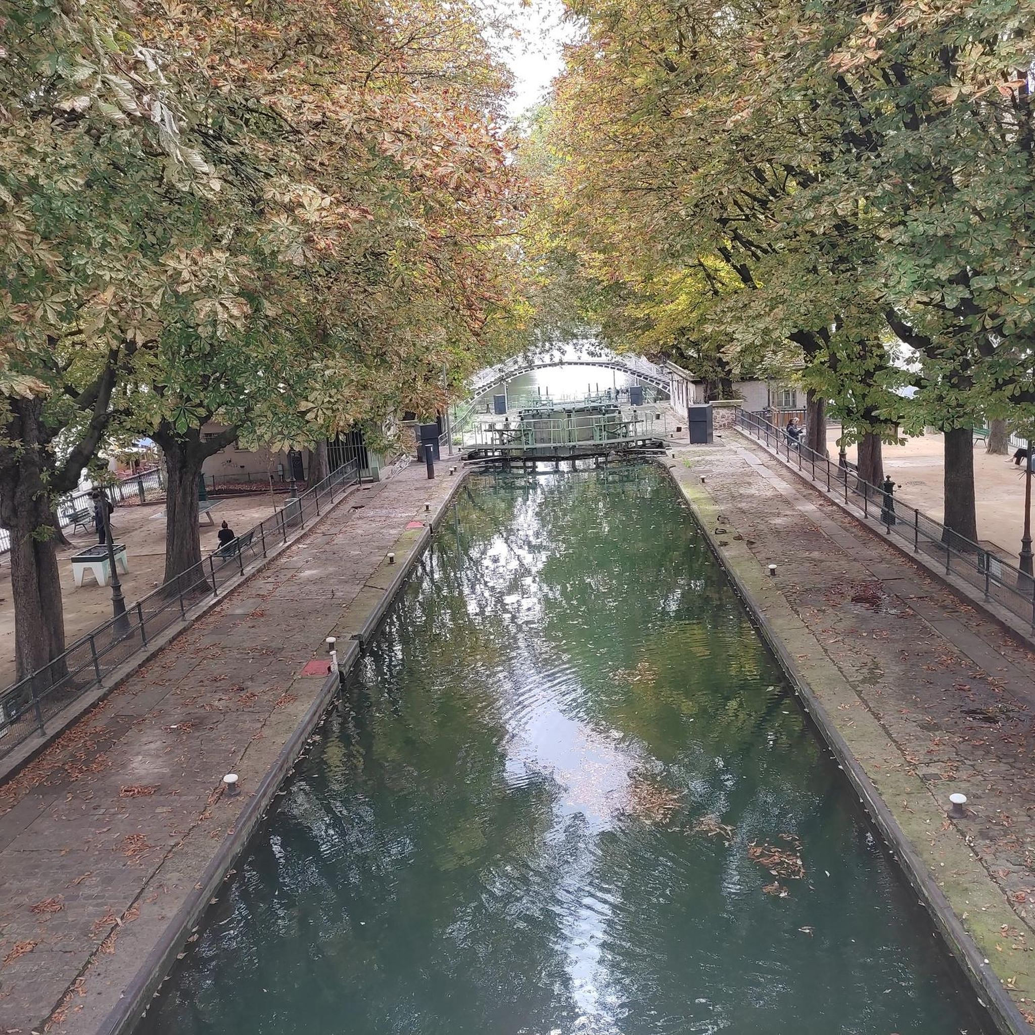

Tips from the Community

Beneath our feet, a circuit that carries water to Paris from the Eure-et-Loir region. Inaugurated in 1893, it delivers 80 million liters of drinking water (out of a total of 680 million liters) per day.
0
0
You can see bison, Przewalski horses, etc. there.
0
0
Located at the crossroads, a small restored washhouse.
0
0
The Avre aqueduct is one of the structures that supplies the city of Paris with drinking water. Inaugurated in 1893, it carries 80 million liters (out of a total of 680 million liters) per day from the Drouais in Eure-et-Loir. The water is transported by simple gravity: the altitude of the springs in the Avre region is 40 m higher than the level of the Saint-Cloud reservoir, their point of arrival. Several springs are captured in the Dreux region, in the Avre catchment basin.
0
0

nice loop between the countryside and the forest
0
0

We often think of the zoological park but the Chateau is also remarkable
0
0
Frequently Asked Questions
How many hiking trails are available around Goupillières?
There are over 200 hiking routes available around Goupillières, catering to various skill levels. You'll find a wide selection of trails, from easy strolls to more challenging hikes through the region's unique landscapes.
What kind of terrain can I expect on hikes in Goupillières?
The terrain around Goupillières is characterized by tufa rock formations, which have shaped the landscape. Trails often wind through the scenic Lys Valley, offering picturesque views of fields and wooded areas. You can also expect to explore ravines with notable flora, including old ferns. Some paths can become muddy after rainfall, so appropriate footwear is recommended.
Are there any family-friendly hiking options in Goupillières?
Yes, Goupillières offers several family-friendly hiking options. Many trails are suitable for different fitness levels, including easy walks. The region's primary attraction, the Vallée troglodytique des Goupillières, is also designed with families in mind, featuring a kitchen garden, a wine grower's lodge, and areas for children, making it a great destination for a day out.
What are some interesting landmarks or attractions to see while hiking in the area?
The most prominent attraction is the Vallée troglodytique des Goupillières itself, where you can explore authentic farms carved into tufa rock. Nearby, you can also discover historical sites such as the Ruins of the Château de Beynes or the Donjon and Fortified Site of Montchauvet. The majestic Château d'Azay-le-Rideau is also located nearby, offering an additional cultural experience.
Are there any circular walks available in Goupillières?
Yes, many of the hiking routes in Goupillières are circular. For example, the easy Autouillet Washhouse loop from Auteuil is a 6.1 km trail that takes you through charming local scenery. Another popular option is the moderate Pond loop from Villiers-le-Mahieu, covering 8.2 km.
What do other hikers say about the trails in Goupillières?
The routes in Goupillières are highly rated by the komoot community, with an average score of 4.4 stars from more than 160 reviews. Hikers often praise the varied terrain, the blend of historical sites with natural beauty, and the well-maintained paths that offer a serene outdoor experience.
What is the best time of year to go hiking in Goupillières?
Goupillières offers enjoyable hiking throughout much of the year. Spring is particularly pleasant with the sounds of cuckoos, while summer brings nuthatches and lush greenery. The region's natural beauty, including its unique flora and tufa rock formations, can be appreciated across different seasons, though paths may be muddier after rainfall.
Are there any easy hiking trails for beginners or those looking for a relaxed walk?
Absolutely. Goupillières has 59 easy routes. An excellent choice for a relaxed walk is the Thoiry Castle – Section of the Avre Aqueduct loop from Thoiry. This 6.1 km trail is easy to complete and offers pleasant views of the historic aqueduct and surrounding countryside.
Can I find trails that offer views of the Avre Aqueduct?
Yes, the region features trails that follow sections of the historic Avre Aqueduct. A notable moderate route is the Section of the Avre Aqueduct loop from Villiers-le-Mahieu, which is 13.2 km long and offers varied terrain through the valley alongside the aqueduct.
Are there any longer, more challenging hikes available?
While Goupillières is known for its accessible trails, there are options for longer, more challenging hikes. There are 20 difficult routes available. For a moderate, longer option, consider the Jumeauville Loop loop from Jumeauville, an 12.9 km trail that leads through wooded areas and open fields.
What kind of natural features can I expect to see on the trails?
Hikers can expect to encounter outstanding natural surroundings, including unique tufa rock formations and the scenic Lys Valley. The ravines are home to remarkable flora, such as old ferns, and the serene environment is often filled with the sounds of various birds, adding to the natural allure of the walks.
Most popular routes around Goupillières
Most popular attractions around Goupillières

Get inspired with the komoot mobile app


Explore more
Browse the best Hikes in other regions.
