The best walks and hikes around Gries
4.4
(745)
4,193
hikers
233
hikes
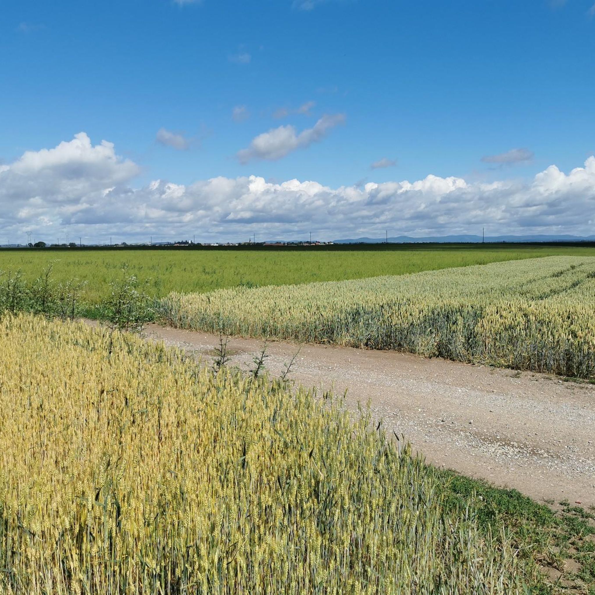
Hiking trails around Gries are characterized by a landscape of gentle rolling hills and agricultural areas, offering accessible outdoor experiences. The region features a network of paths that traverse rural settings and forested sections. Hikers can expect routes with minimal elevation changes, making them suitable for various fitness levels. The terrain primarily consists of well-maintained trails through woodlands and open fields.
Best hiking trails around Gries
- The most popular hiking route is La Fontaine Saint-Michel – WEITBRUCH fishing pond loop from Weitbruch, a 6.9 miles (11.1 km) trail that takes about 2 hours 52 minutes to complete. This route offers a pleasant walk through local scenery, including a fishing pond.
- Another top favourite among local hikers is Dislach Mill – Tour of the Fishermen of Haguenau loop from Bischwiller, a difficult 12.9 miles (20.7 km) path. This longer trail explores the area around the Dislach Mill and the fishing grounds near Haguenau.
- Local hikers also love the La Fontaine Saint-Michel – Marienthal Carmel loop from Marienthal, a 6.8 miles (10.9 km) trail leading through local woodlands and open areas, often completed in about 2 hours 48 minutes.
- Hiking around Gries is defined by its gentle rolling hills, agricultural landscapes, and accessible forest paths. The network offers options for different ability levels, from easy walks to longer, more challenging routes.
- The routes in Gries are highly rated by the komoot community with an average score of 4.4 stars from over 600 reviews. More than 3800 hikers have used komoot to explore Gries's varied terrain.
Last updated: October 9, 2026
4.5
(2)
7
hikers
Moderate hike. Good fitness required. Easily-accessible paths. Suitable for all skill levels.
4.0
(1)
9
hikers
8.81km
02:16
40m
40m
Moderate hike. Good fitness required. Easily-accessible paths. Suitable for all skill levels.

6
hikers
Easy hike. Great for any fitness level. Easily-accessible paths. Suitable for all skill levels.
4.0
(4)
8
hikers
10.4km
02:40
40m
40m
Moderate hike. Good fitness required. Easily-accessible paths. Suitable for all skill levels.
4.8
(4)
10
hikers
8.32km
02:07
20m
20m
Moderate hike. Good fitness required. Easily-accessible paths. Suitable for all skill levels.
Get access to more routes and recommendations from other explorers.
Already have an account?
Our route recommendations are based on thousands of hikes, rides, and runs completed by other people on komoot.
Start today with a free account
Your next adventure awaits.
Tips from the Community

In front of the church is this red sandstone stone on which the distance to the partner community of Jugenheim Rheinhessen is engraved.
2
0
Construction of St. Michael's Church was completed in 1623. The Renaissance pulpit, dating from 1672, and the organ, built in 1791 by Michel Stiehr, an organ builder in Seltz, are listed in the supplementary list of historical monuments. Note: A number of Fleckenstein gravestones have been found and are visible near the church. Roppenheim and its surroundings were long owned by the Lords of Fleckenstein, who owned a castle and a hunting lodge. Traces of this can still be seen in the Church of St. Michel, its rectory, and the half-timbered tithe barn.
2
0
On the town hall square stands an obelisk made of red sandstone in memory of the dead of the two world wars
2
0
In this small square, there are two natural stone steles. On the left, they read: AGORA, and on the right, they read: JUGENHEIM.
2
0

Le Carmel de Marienthal, also known as Le Carmel du Sacré Coeur is located in Haguenau, a commune in the Bas-Rhin department of the Grand Est region of France.
2
0

Beautiful Way of the Cross in the park, opposite the basilica in Marienthal.
1
0

This statue, inspired by a painting by Raphael that can be seen in the Louvre in Paris, represents the Archangel Saint Michael slaying the dragon. On the base we can read that it comes from the Tusey foundry in Meuse.
2
1
The fountain consists of a monumental hexagonal basin in yellow sandstone in the center of which a column of water feeds it through 4 outlets and supports a golden cast iron statue.
2
1
Frequently Asked Questions
How many hiking trails are available around Gries?
Gries offers a wide selection of hiking opportunities, with over 200 trails available. These routes cater to various preferences, from easy strolls to more challenging excursions through the region's gentle rolling hills and agricultural landscapes.
Are there easy hiking trails suitable for beginners or casual walkers?
Yes, Gries is well-suited for beginners and casual walkers. The area features 136 easy routes with minimal elevation changes, making them accessible for various fitness levels. These trails often traverse well-maintained paths through woodlands and open fields.
What kind of landscape can I expect while hiking in Gries?
Hiking around Gries is characterized by gentle rolling hills, expansive agricultural areas, and pleasant forested sections. The terrain primarily consists of well-maintained trails, offering a serene and accessible outdoor experience amidst rural charm.
Are there any circular hiking routes in Gries?
Many of the trails in Gries are designed as circular routes, allowing you to start and end at the same point. An example is the Hiking loop from Weitbruch, which offers a pleasant moderate walk.
What are the typical lengths and durations of hikes in Gries?
Hikes in Gries vary in length and duration. For instance, the La Fontaine Saint-Michel – WEITBRUCH fishing pond loop from Weitbruch is about 6.9 miles (11.1 km) and takes around 2 hours 52 minutes. Longer options like the Dislach Mill – Tour of the Fishermen of Haguenau loop from Bischwiller stretch to 12.9 miles (20.7 km) and can take over 5 hours.
What do other hikers enjoy most about the trails in Gries?
The komoot community highly rates the trails in Gries, with an average score of 4.4 stars from over 600 reviews. Hikers often praise the varied terrain, the accessibility of the routes, and the pleasant scenery of gentle hills and agricultural landscapes.
Are there any interesting natural monuments or attractions to see along the hiking trails?
Yes, Gries and its surroundings offer several points of interest. You can explore natural monuments such as the Confluence of the Rench and the Rhine, the tranquil Ziegersee, or the historic The Oak Monument. These highlights provide scenic spots and historical context to your hike.
Can I hike with my dog in Gries?
While specific regulations for dog walking on every trail are not detailed, the general nature of Gries's rural and forested paths often makes them suitable for dogs. It's always recommended to keep your dog on a leash and adhere to local signage regarding pet policies, especially in agricultural areas or near wildlife.
Are there any historical sites or landmarks near the hiking routes?
Yes, the area around Gries features several historical landmarks. You might encounter sites like the Ritterloch Historical Site or the Saint Arbogast Chapel - Gros Chêne Inn, which add cultural interest to your outdoor adventures.
What is the best time of year to go hiking in Gries?
Given the region's gentle terrain and lack of high-alpine features, hiking in Gries is enjoyable for much of the year. Spring and autumn offer pleasant temperatures and beautiful scenery, with blooming flowers or vibrant fall foliage. Summer is also suitable, though some trails might be more exposed to the sun. Winter hiking options may be available, depending on snow conditions.
Are there any trails that lead to viewpoints or scenic overlooks?
While Gries is characterized by gentle rolling hills rather than dramatic peaks, many trails offer pleasant views over the agricultural landscapes and forested sections. Routes often provide open vistas, allowing you to appreciate the rural charm of the region.
Are there options for public transport to reach hiking trailheads in Gries?
Information on specific public transport links to individual trailheads in Gries is not readily available. However, in many rural European regions, local bus services often connect villages. It is advisable to check local transport schedules for connections to Gries and surrounding towns to access various starting points.
Where can I find parking for hiking trails in Gries?
Parking availability for trailheads in Gries typically includes designated parking areas in villages or at popular starting points for routes. Given the rural nature, you may find roadside parking or small lots near community centers or attractions. Always ensure you park legally and respectfully.
Most popular attractions around Gries

Get inspired with the komoot mobile app


Explore more
Browse the best Hikes in other regions.
