The best walks and hikes around Saulx-Marchais
4.6
(342)
1,777
hikers
212
hikes
Hiking around Saulx-Marchais offers diverse landscapes in the Yvelines department of France. The region features varied topography, including expansive forests like Forêt de Beynes, open fields, and the gentle meanderings of the Mauldre river. Trails often combine riverside paths with routes through wooded areas and agricultural land, providing a mix of natural beauty and historical elements. The terrain generally includes hillsides along the Mauldre valley, with some routes extending towards the larger Forêt de Rambouillet.
Best hiking trails around Saulx-Marchais
…Last updated: July 16, 2026
4.4
(8)
17
hikers
6.27km
01:40
60m
60m
Easy hike. Great for any fitness level. Easily-accessible paths. Suitable for all skill levels.
4.0
(4)
24
hikers
20.3km
05:33
320m
320m
Hard hike. Very good fitness required. Easily-accessible paths. Suitable for all skill levels.

Sign up for free
4.0
(5)
18
hikers
Moderate hike. Good fitness required. Easily-accessible paths. Suitable for all skill levels.
5.0
(1)
17
hikers
7.82km
02:05
90m
90m
Moderate hike. Good fitness required. Easily-accessible paths. Suitable for all skill levels.
4.5
(4)
12
hikers
7.27km
01:59
110m
110m
Easy hike. Great for any fitness level. Easily-accessible paths. Suitable for all skill levels.
Get access to more routes and recommendations from other explorers.
Sign up for free
Already have an account?
Our route recommendations are based on thousands of hikes, rides, and runs completed by other people on komoot.
Start today with a free account
Your next adventure awaits.
Login or Signup



Tips from the Community

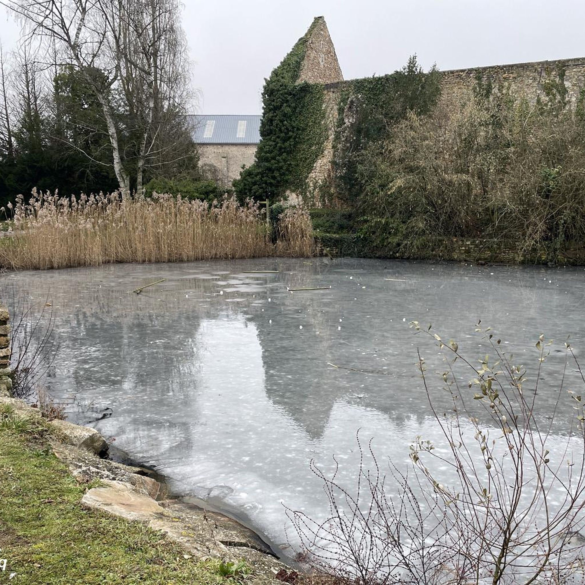
A recently renovated historic building.
0
0

A short passage on a bridge over the Mauldre, very nice!
0
0
Beneath our feet, a circuit that carries water to Paris from the Eure-et-Loir region. Inaugurated in 1893, it delivers 80 million liters of drinking water (out of a total of 680 million liters) per day.
0
0
You can see bison, Przewalski horses, etc. there.
0
0

with children, do it in the opposite direction for fewer climbs
0
0
Louis XVI had the forest of Beynes developed for hunting by tracing wide star-shaped paths. This stone table was used as a "debooting" table during hunting with hounds. There are two debooting tables, one small and one large. The large table bears, engraved in the stone, the names of the eight forest roads with their direction; similarly, one can read on the thickness of this round stone the inscription "remade in 1783".
0
0
This small table is in the oldest large circle. A large table is located in the new small star. An old table, called the "débotter" table, on which the king sat so that his large hunting boots could be put on, it also served as a snack table and also, and perhaps especially by climbing onto it by a circular bench, as an observatory in the center of a star. The small table of Beynes seems the oldest, it is a large circular block, split in the middle and supported by four terminals. The large table is more ornate with the inscription "remade in 1783", and its top bears the indication of the roads, also serving as an orientation table. This assignment is unique, moreover the inscription "Route d'Auteuil" does not correspond to the star where it is, but to the Grand Rond. It is reasonable to think that the table from Ste Appoline (Plaisir) was brought there first, while the one from Beynes was being remade, then the tablets were reversed, and this is how the large table is in the small star and gives the orientations of the Grand Rond.
0
0
At a time when animal traction was mainly used in the countryside to pull teams, carts and plows, it was often necessary to shoe draft animals, not only horses, donkeys and mules, but also oxen and even cows. This was the task assigned to the farrier thanks to a small specific building, the "work" (plural: works).
0
0
Frequently Asked Questions
How many hiking trails are available around Saulx-Marchais?
There are over 200 hiking routes available around Saulx-Marchais, catering to various difficulty levels. You'll find a wide selection of paths through forests, fields, and along river valleys.
What kind of terrain can I expect on hikes near Saulx-Marchais?
The terrain around Saulx-Marchais is quite varied. You can expect expansive forests like the Forêt de Beynes, open fields, and gentle paths along the Mauldre river. Many routes also traverse the scenic hillsides of the Coteaux de la Mauldre, offering a mix of wooded and open landscapes.
What do hikers enjoy most about the trails around Saulx-Marchais?
The area is highly rated by the komoot community, with an average score of 4.6 stars from over 270 reviews. Hikers often praise the tranquil forests, scenic river valleys, and the blend of natural beauty with historical sites that enrich the experience.
Are there many easy hiking options in Saulx-Marchais?
Yes, Saulx-Marchais offers a good selection of easy hikes. There are over 75 easy routes available, perfect for a relaxed stroll. An example is the Thoiry Castle – Section of the Avre Aqueduct loop from Thoiry, which is 3.8 miles (6.1 km) long and explores the area around Thoiry Castle.
Are there any challenging long-distance hikes available?
For those seeking a challenge, there are 12 difficult routes around Saulx-Marchais. One such option is The Vineyards of Beynes – Herbeville loop from Beynes, a demanding 12.0 miles (19.3 km) path that traverses vineyards and open fields, offering expansive views.
What historical landmarks can I discover while hiking near Saulx-Marchais?
Many trails integrate historical sites into their routes. You can explore the Saint Martin's Church, Beynes, or the historic Ruins of the Château de Beynes, an 11th-century castle. The Notre-Dame du Chêne Chapel, a 16th-century pilgrimage site, is also a notable point of interest.
Are there any scenic natural features to look out for on the trails?
Absolutely. The region is known for its natural beauty. You'll find tranquil paths through the Forêt de Beynes, picturesque riverside walks along the Mauldre, and scenic views from the Coteaux de la Mauldre. In spring, the Mauldre valley is particularly beautiful with green fields and yellow poppies.
Are there many circular hiking routes around Saulx-Marchais?
Yes, many of the hiking routes around Saulx-Marchais are designed as convenient loops, making them ideal for day trips. For example, the Saint Martin's Church, Beynes – Ruins of the Château de Beynes loop from Beynes is an 8.8 miles (14.2 km) circular trail.
When is the best time of year to go hiking in Saulx-Marchais?
Spring is an especially picturesque time to hike in Saulx-Marchais, with the Mauldre valley offering splendid views between the green of tender wheat and the yellow of poppies. The forests also provide pleasant shade during warmer months.
Are the hiking trails around Saulx-Marchais suitable for families?
Yes, many trails are suitable for families, especially the easier, shorter loops. The diverse landscapes, including forests and open fields, provide engaging environments for children to explore. Look for routes marked as 'easy' for the most family-friendly options.
Are there any dog-friendly trails in the area?
While specific dog restrictions can vary, generally, many natural areas and trails in France are dog-friendly, especially if dogs are kept on a leash. The expansive forests and open fields around Saulx-Marchais offer plenty of space for walks with your canine companion.
Where can I find parking for hiking trails near Saulx-Marchais?
Many hiking routes around Saulx-Marchais start from villages or specific points that offer parking facilities. It's advisable to check the starting point details of your chosen komoot tour, as they often include information on available parking.
Can I reach hiking trails near Saulx-Marchais using public transport?
Saulx-Marchais is located in the Yvelines department, which has public transport options. While direct access to every trailhead might require some planning, you can often reach nearby towns and villages by bus or train, and then connect to hiking routes. Check local transport schedules for specific connections.
Are there any less-known or 'hidden gem' routes worth exploring?
Beyond the most popular trails, you can discover quieter paths that offer unique insights into the region. For instance, the Autouillet Washhouse – Saint Sanctin Chapel loop from Auteuil is a moderate 7.8 miles (12.6 km) route that takes you through charming local history and varied landscapes.
Most popular routes around Saulx-Marchais
Most popular attractions around Saulx-Marchais

Get inspired with the komoot mobile app


Explore more
Browse the best Hikes in other regions.
