The best running trails around Boissy-Sans-Avoir
4.3
(84)
2,673
runners
224
runs
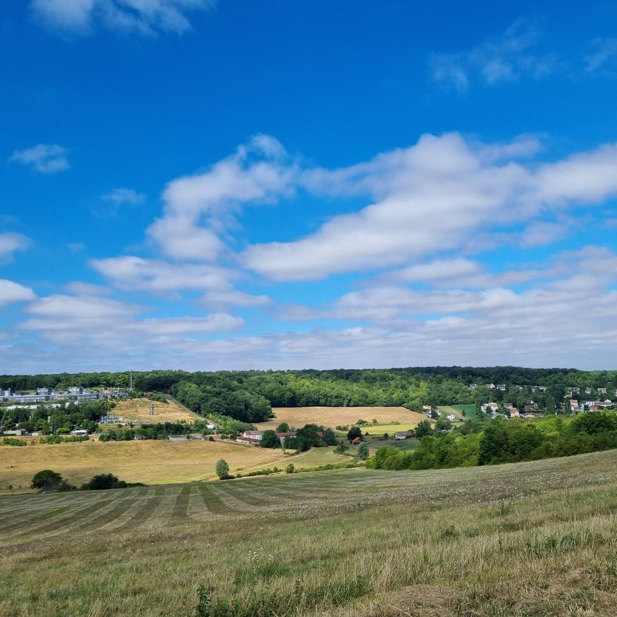
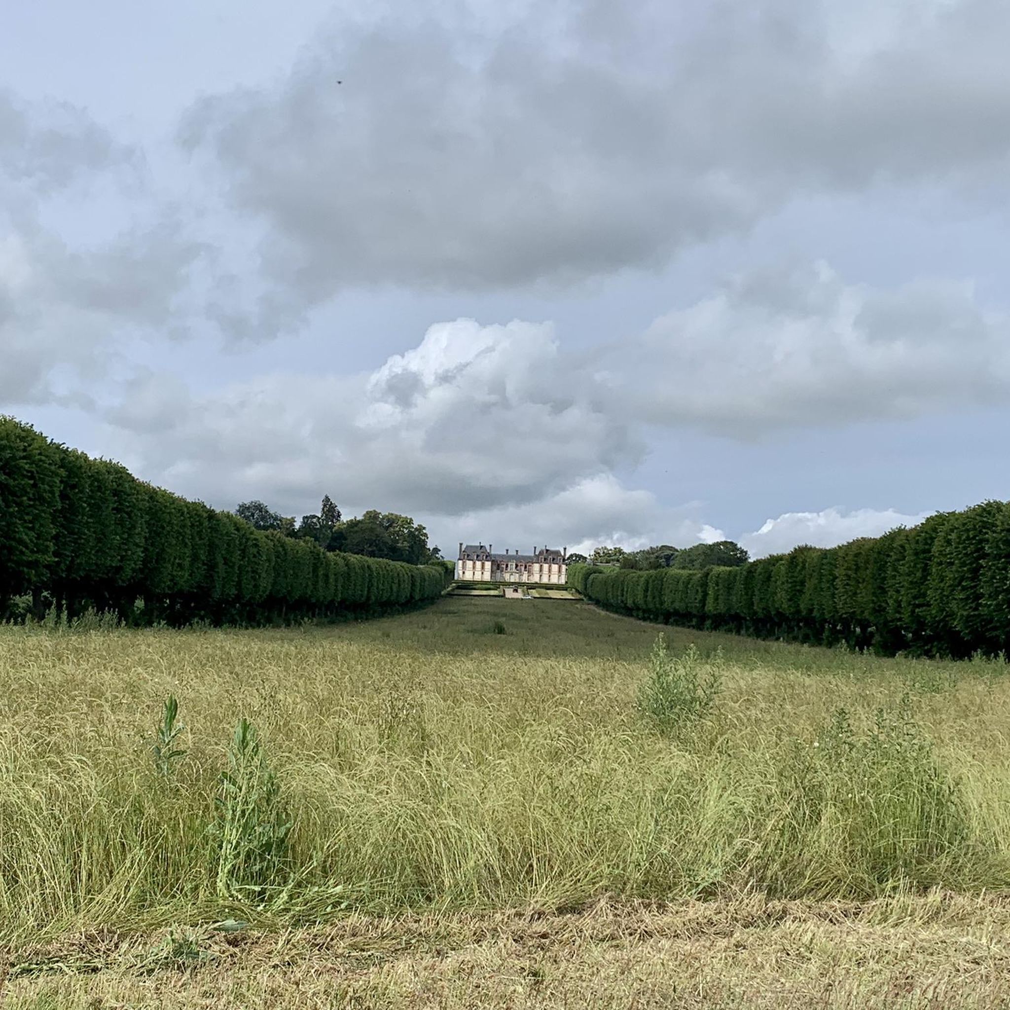
Jogging around Boissy-Sans-Avoir offers a peaceful escape through serene agricultural landscapes and extensive green spaces. The region is characterized by a horizontal agricultural plateau, featuring vast fields, hedges, and vegetated walls. Nearby forested areas, such as the Forêt de Rambouillet, provide additional terrain for running. This gentle topography makes the area accessible for runners of varying abilities.
Best jogging routes around Boissy-Sans-Avoir
- The most popular jogging route is Running loop from Galluis, an 8.7 miles (14.0 km) trail that…
Last updated: July 5, 2026
5.0
(1)
75
runners
Hard run. Very good fitness required. Mostly paved surfaces. Suitable for all skill levels.
5
runners
18.8km
02:13
250m
250m
Hard run. Very good fitness required. Mostly paved surfaces. Suitable for all skill levels.

Sign up for free
36
runners
40.2km
04:39
440m
440m
Hard run. Very good fitness required. Mostly paved surfaces. Suitable for all skill levels.
48
runners
Hard run. Very good fitness required. Mostly paved surfaces. Suitable for all skill levels.
20
runners
10.7km
01:07
90m
90m
Moderate run. Good fitness required. Mostly paved surfaces. Suitable for all skill levels.
Get access to more routes and recommendations from other explorers.
Sign up for free
Already have an account?
Our route recommendations are based on thousands of hikes, rides, and runs completed by other people on komoot.
Start today with a free account
Your next adventure awaits.
Login or Signup



Tips from the Community

Pleasant in spring when the plants are awakening :)
0
0

Small easy descent but very fluid and pleasant. The landscapes are absolutely magnificent, with pines, firs and moss everywhere around you. It smells good and we have fun on the handlebars!
1
0

Celtic Gaul left to the northwest of Saint-Léger the largest known dolmen in the Paris region. Measuring approximately six cubic meters and between fifteen and twenty tonnes, it is known as the Ardoue stone or Ardroue and is located in the ancient carnute forest.
0
0

Beautiful forest between Garancières and Bazainville with many trails, perfect for gravel or mountain biking. Don't miss the small, very wild Pimardière pond. A small path allows you to go around it.
1
0

This dolmen is one of the few megaliths in the region and is indicative of human presence during the prehistoric era.
1
0

Historical documents attest to the construction of the first fortifications from the year 996 on the hill known as "Montfortis". The city then became the stronghold of the Montfort family and Amaury I had the ramparts built, of which some vestiges can still be seen. At the end of the 13th century, the county of Montfort joined the Duchy of Brittany following the marriage of Yolande de Montfort with Arthur II of Brittany for an allegiance that would last two centuries. During the Hundred Years War (1337-1453), the fortified castle was destroyed by the English and all that remains of the latter are the ruins of the keep, now called Tour Anne de Bretagne, because it was built under his reign. It can be seen when arriving in the city, and climbing this road which bypasses it. Once you have reached the top of the hill, you can take the small dirt road which starts from the intersection with the road to St Léger in order to go through the park to the foot of the keep, if the few hundred meters in gravel do not don't scare you. At the foot of the keep, being 183 meters above sea level, you can contemplate the panoramic view of the town and its surroundings. It is therefore easy to understand why this mound was an ideal place to establish a fortified castle. It is a perfect place for a break after climbing.
0
0

This tower was built in the 15th century by Anne de Bretagne, from whom it takes its name. This is the only remnant of the old castle. It offers a beautiful view of Montfort-l'Amaury. The Duchess of Brittany, who was also the Countess of Monfort, chose this location precisely to dominate the village.
0
0

Not easy on a mountain bike even with electric assistance but splendid forest with lots of sand, ups and downs!
0
0
Frequently Asked Questions
How many running routes are available around Boissy-Sans-Avoir?
There are over 190 running routes available around Boissy-Sans-Avoir, offering a wide variety of options for all skill levels. This includes 20 easy routes, over 150 moderate routes, and 24 challenging trails for experienced runners.
What kind of terrain can I expect on the jogging trails in this region?
The region around Boissy-Sans-Avoir is characterized by a serene agricultural plateau, so you can expect to jog through vast open fields, along hedges, and past vegetated walls. Many routes also venture into nearby forested areas, such as the Forêt de Rambouillet, offering a mix of open and wooded paths. The topography is generally gentle, making it accessible for most runners.
Are there any circular running routes in Boissy-Sans-Avoir?
Yes, many of the running routes around Boissy-Sans-Avoir are circular, allowing you to start and finish at the same point. An example is the Running loop from Galluis, a moderate 14 km trail that winds through the tranquil countryside.
What do other runners say about the trails in Boissy-Sans-Avoir?
The running routes in Boissy-Sans-Avoir are highly rated by the komoot community, with an average score of 4.2 stars from over 60 reviews. Runners often praise the peaceful escape offered by the serene agricultural landscapes and the extensive green spaces, as well as the variety of terrain from open fields to woodlands.
Are there any challenging running routes for experienced runners?
Absolutely. For those seeking a more demanding run, there are 24 difficult routes available. A notable challenging option is the Four Pillars Forest – Singletrack Above Gambaiseuil loop from Garancières - La Queue, a 33 km path that traverses forests and includes exciting singletrack sections.
Can I find running routes that pass by interesting landmarks or natural features?
Yes, the region offers routes that allow you to explore local points of interest. For example, the Thoiry Castle loop from Auteuil takes you through varied landscapes, potentially offering views of the historic Thoiry Castle. You can also find routes near scenic ponds, such as those within the Forêt de Rambouillet, which enhance the visual appeal of your run. For more historical sights, consider exploring routes near the Ruins of the Château de Beynes or the Saint Martin's Church, Beynes.
Are there any running trails suitable for beginners or those looking for an easy jog?
Yes, Boissy-Sans-Avoir offers 20 easy running routes, perfect for beginners or those who prefer a more relaxed pace. These trails typically feature gentle topography across the agricultural plateau, providing a pleasant and accessible experience through green spaces.
Are there any running routes that include water features like ponds or lakes?
Yes, some routes in the wider area incorporate scenic water features. For instance, the Étang de Béhoust – Étang de la Pimardiére loop from Garancières - La Queue is a difficult 16.6 km route that passes by these picturesque ponds, offering beautiful views during your run. The Rompu Pond is another natural highlight in the vicinity.
What is the best time of year to go running in Boissy-Sans-Avoir?
Boissy-Sans-Avoir's extensive green spaces and agricultural fields make it enjoyable for running throughout much of the year. Spring and autumn offer pleasant temperatures and vibrant scenery. Summer can be warm, but the nearby forested areas provide shade. Winter runs can be beautiful, especially after a light snowfall, though paths might be muddy or icy.
Are there any longer running routes for endurance training?
Certainly. For longer endurance runs, you can find several routes over 20 km. The Four Pillars Forest loop from Garancières - La Queue is a difficult 20.2 km route that takes you through the forest, providing a good challenge for longer distances.
What kind of natural scenery can I expect while running in this area?
Runners in Boissy-Sans-Avoir can expect a tranquil rural experience, characterized by vast agricultural fields, dense hedges, and abundant greenery. The area is known for its picturesque setting, with routes often leading through open landscapes and occasionally bordering or entering significant forested areas like the Forêt de Rambouillet, offering a diverse natural backdrop.
Most popular routes around Boissy-Sans-Avoir
Most popular attractions around Boissy-Sans-Avoir

Get inspired with the komoot mobile app


Explore more
Browse the best Running Trails & Routes in other regions.
