The best walks and hikes around La Motte-Saint-Martin
4.5
(1765)
15,381
hikers
308
hikes
Hiking around La Motte-Saint-Martin offers diverse landscapes in the Isère department of France. The region features mountainous terrain with views of the Chartreuse, Belledonne, Vercors, and Dévoluy massifs. A significant natural feature is the Lac de Monteynard-Avignonet, an artificial lake flanked by the gorges of the Drac and Ébron rivers. Elevations in the commune range from 486 meters to 1,712 meters, providing varied gradients for hiking.
Best hiking trails around La Motte-Saint-Martin
- The most popular hiking route is Col du Senepy – Le Sénépy loop from Sentier de Découverte du Sénépy, a 8.4 miles (13.5 km) trail that takes 4 hours 30 minutes to complete. This moderate route offers panoramic views from Mount Sénépy.
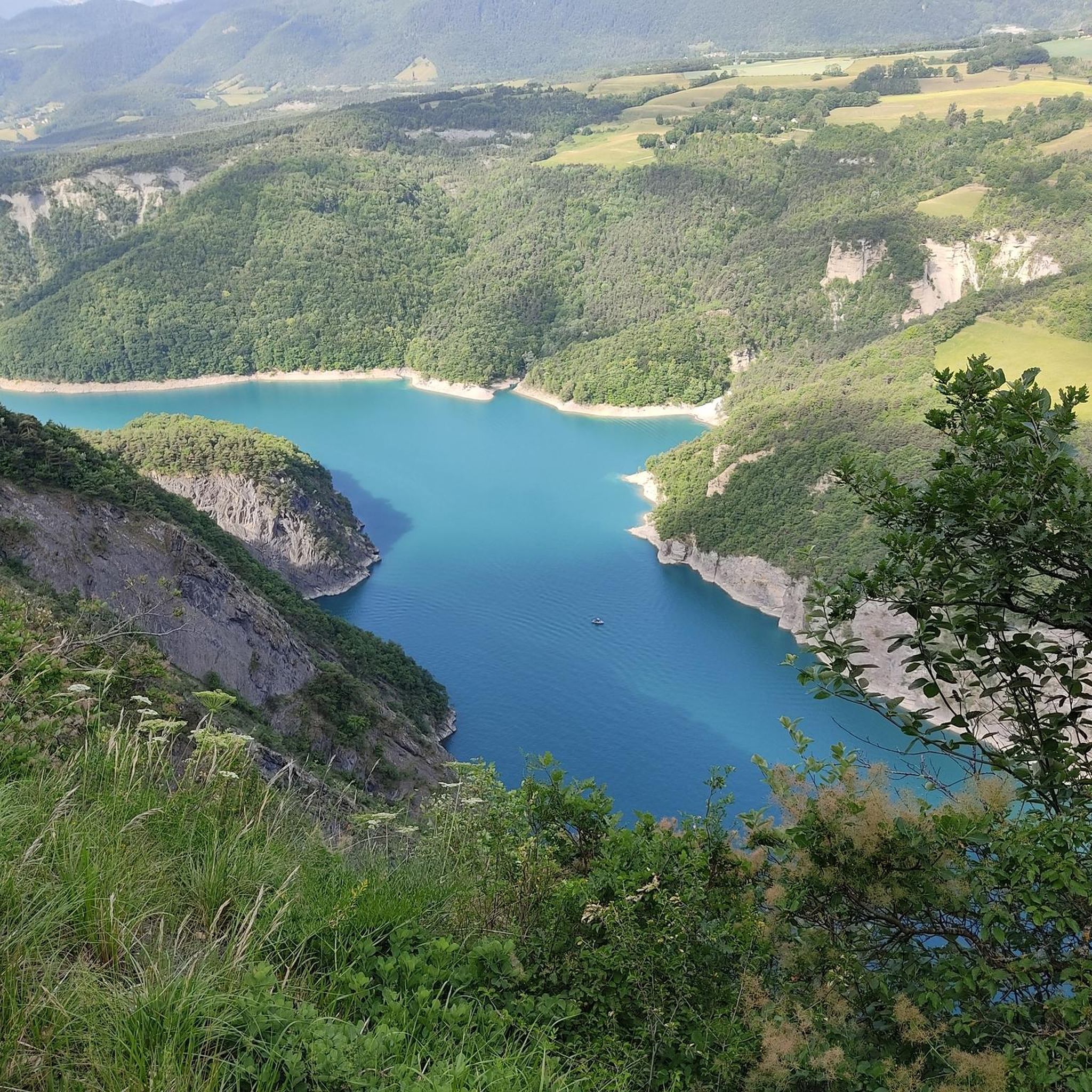
- Another top favourite among local hikers is Hiking loop from Monteynard, a moderate 3.1 miles (4.9 km) path. This trail provides views of the Lac de Monteynard-Avignonet and its surrounding gorges.
- Local hikers also love the Conest Mountain – La Peyrouse loop from La Motte-d'Aveillans, a 5.4 miles (8.7 km) trail leading through mountainous terrain, often completed in about 3 hours 30 minutes.
- Hiking around La Motte-Saint-Martin is defined by mountainous terrain, the Lac de Monteynard-Avignonet, and impressive river gorges. The network offers options for different ability levels, from easy walks to challenging ascents.
- The routes in La Motte-Saint-Martin are highly rated by the komoot community with an average score of 4.5 stars from over 1,700 reviews. More than 14,000 hikers have used komoot to explore La Motte-Saint-Martin's varied terrain.
Last updated: July 15, 2026
4.5
(17)
167
hikers
13.5km
04:30
550m
550m
Moderate hike. Good fitness required. Mostly accessible paths. Sure-footedness required.
4.6
(5)
32
hikers
4.62km
01:44
260m
260m
Moderate hike. Great for any fitness level. Mostly accessible paths. Sure-footedness required.

Sign up for free
4.0
(4)
23
hikers
13.0km
04:13
590m
590m
Moderate hike. Good fitness required. Easily-accessible paths. Suitable for all skill levels.
24
hikers
8.68km
03:39
740m
740m
Moderate hike. Good fitness required. Easily-accessible paths. Suitable for all skill levels.
16
hikers
Hard hike. Very good fitness required. Mostly accessible paths. Sure-footedness required.
Get access to more routes and recommendations from other explorers.
Sign up for free
Already have an account?
Our route recommendations are based on thousands of hikes, rides, and runs completed by other people on komoot.
Start today with a free account
Your next adventure awaits.
Login or Signup


Tips from the Community

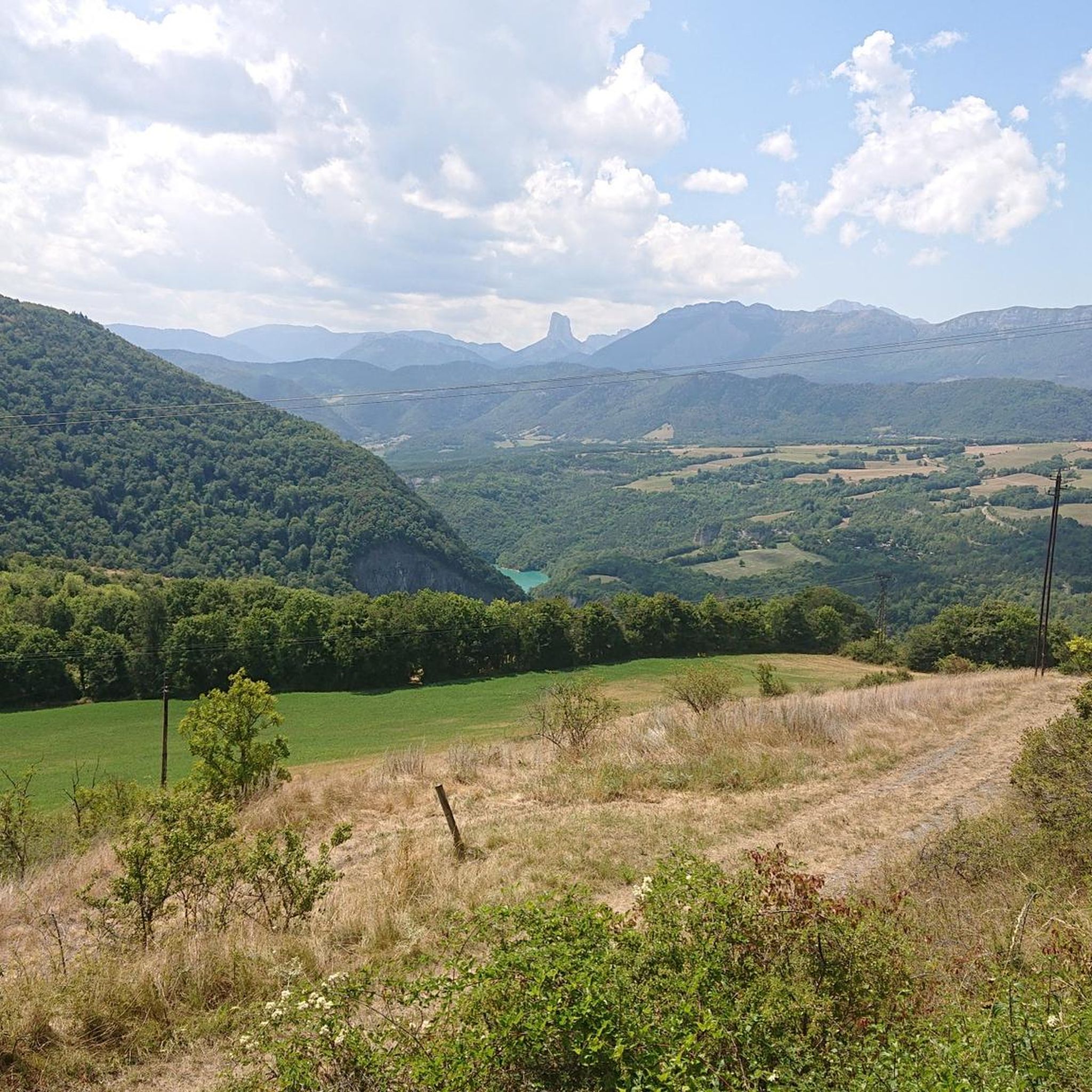
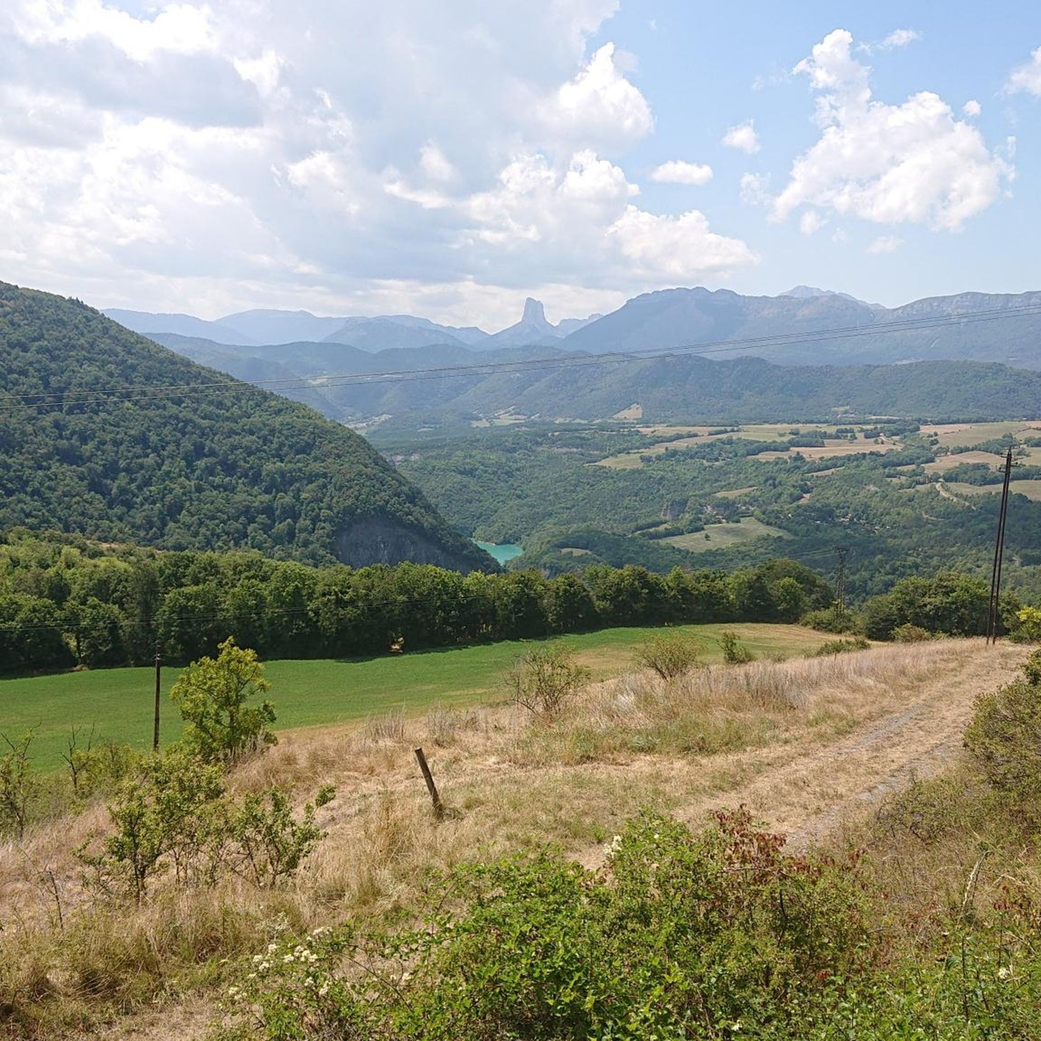
Serre de l'horizon lives up to its name: mountain of the horizon. From its summit, one can enjoy a 360° view encompassing the Taillefer, Dévoluy, Vercors and Belledonne mountain ranges.
0
0
Before reaching the summit of the pass, in the alpine pasture, this water catchment is beautifully painted
0
0

Steep last bends from the pass on a very grassy track, it's for the strong. But the reward: What a 360° panorama at the top!
1
0

In the village of Monteynard, go towards the orientation table 300m from the center on the left. Exceptional view
0
0

The mountain top La Peyrouse is located at an altitude of 1711m. Easily accessible via MTB route 10. It is sometimes difficult to cycle on the path from the top of Beauregard. Once on the La Peyrouse, the view is magnificent. The descent that follows is spectacular. Before you know it you are back at the bottom of the mountain.
0
0

Les Balcons du Drac are certainly very spectacular!
0
0

This is not in my opinion the best point of view. The best is located nearby, on a small road in the town of Monteynard, parallel to the main road but overlooking the main road. You are higher and have a better view in my opinion.
0
0

Magnificent belvedere on the Vercors and the Trieves. Too much traffic unfortunately.
1
0
Frequently Asked Questions
How many hiking trails are available around La Motte-Saint-Martin?
There are over 290 hiking routes in the La Motte-Saint-Martin area, catering to various skill levels. You'll find a wide selection, from easy strolls to challenging mountain ascents.
Are there any easy hiking trails suitable for families in La Motte-Saint-Martin?
Yes, La Motte-Saint-Martin offers 75 easy hiking routes. A good option for a shorter, family-friendly walk is the Lac du Sautet Lakeside loop from Avignonet, which is just under 2 km long and features gentle terrain.
What kind of natural features or landmarks can I expect to see while hiking?
The region is rich in natural beauty. You can encounter impressive gorges, the vast Lac de Monteynard-Avignonet, and stunning panoramic viewpoints. Notable landmarks include the spectacular La Pierre Percée, a unique rock formation, and the Waterfall. Many trails also lead to summits like La Peyrouse or Le Sénépy, offering breathtaking views.
Are there any circular hiking routes in the area?
Yes, many of the trails around La Motte-Saint-Martin are circular, allowing you to start and end at the same point. For example, the Col du Senepy – Le Sénépy loop from Sentier de Découverte du Sénépy is a popular moderate circular hike offering panoramic views.
What are the most scenic viewpoints or panoramic spots?
Hikers can enjoy magnificent 360-degree views of the Chartreuse, Belledonne, Vercors, and Dévoluy massifs from various points. The summit of Mount Sénépy is particularly renowned for its panoramas. The Conest Mountain – La Peyrouse loop from La Motte-d'Aveillans also offers splendid vistas, including the View from Beauregard.
Can I hike with my dog in La Motte-Saint-Martin?
Many trails in the La Motte-Saint-Martin region are dog-friendly, but it's always recommended to keep your dog on a leash, especially in areas with livestock or protected wildlife. Check individual route details on komoot for specific restrictions or recommendations.
Are there any challenging hikes for experienced trekkers?
Absolutely. The region offers 34 difficult routes for experienced hikers. A challenging option is the Grandioser 360 Grad Blick – Le Sénépy loop from Sentier de Découverte du Sénépy, which covers over 17 km and involves significant elevation gain, rewarding you with extensive views.
What do other hikers say about the trails in La Motte-Saint-Martin?
The trails in La Motte-Saint-Martin are highly rated by the komoot community, with an average score of 4.5 stars from over 1,700 reviews. Hikers frequently praise the diverse landscapes, the breathtaking views of the surrounding massifs, and the well-maintained paths, especially around the Lac de Monteynard-Avignonet.
Are there any trails that feature the Himalayan footbridges?
Yes, the spectacular Passerelle Himalayenne du Drac and Passerelle Himalayenne de l'Ébron are major attractions. Many popular hiking itineraries around the Lac de Monteynard-Avignonet incorporate these impressive suspension bridges, offering thrilling experiences and magnificent views of the lake and gorges. The Hiking loop from Monteynard provides excellent views of the lake and its surroundings, often serving as a gateway to these bridge routes.
What is the best time of year to go hiking in La Motte-Saint-Martin?
The best time for hiking in La Motte-Saint-Martin is generally from spring to autumn (May to October), when the weather is mild and trails are clear. Summer offers warm conditions ideal for combining hikes with water activities on Lac de Monteynard-Avignonet. Some higher altitude trails might be inaccessible due to snow in winter, but lower routes can still be enjoyed.
Is public transport available to reach hiking trailheads?
While La Motte-Saint-Martin is a rural area, some local bus services connect the commune to larger towns. However, for direct access to many trailheads, especially those in more remote mountainous areas, a car is often recommended. It's advisable to check local transport schedules in advance if relying on public transport.
Are there places to eat or stay near the hiking routes?
La Motte-Saint-Martin and nearby villages offer various options for accommodation, including guesthouses and holiday rentals. You can also find local restaurants and cafes to refuel after your hike. It's a good idea to check availability and opening hours, especially during off-peak seasons.
Most popular routes around La Motte-Saint-Martin
Most popular attractions around La Motte-Saint-Martin

Get inspired with the komoot mobile app


Explore more
Browse the best Hikes in other regions.
