The best walks and hikes around Averlak
4.6
(769)
3,511
hikers
12
hikes
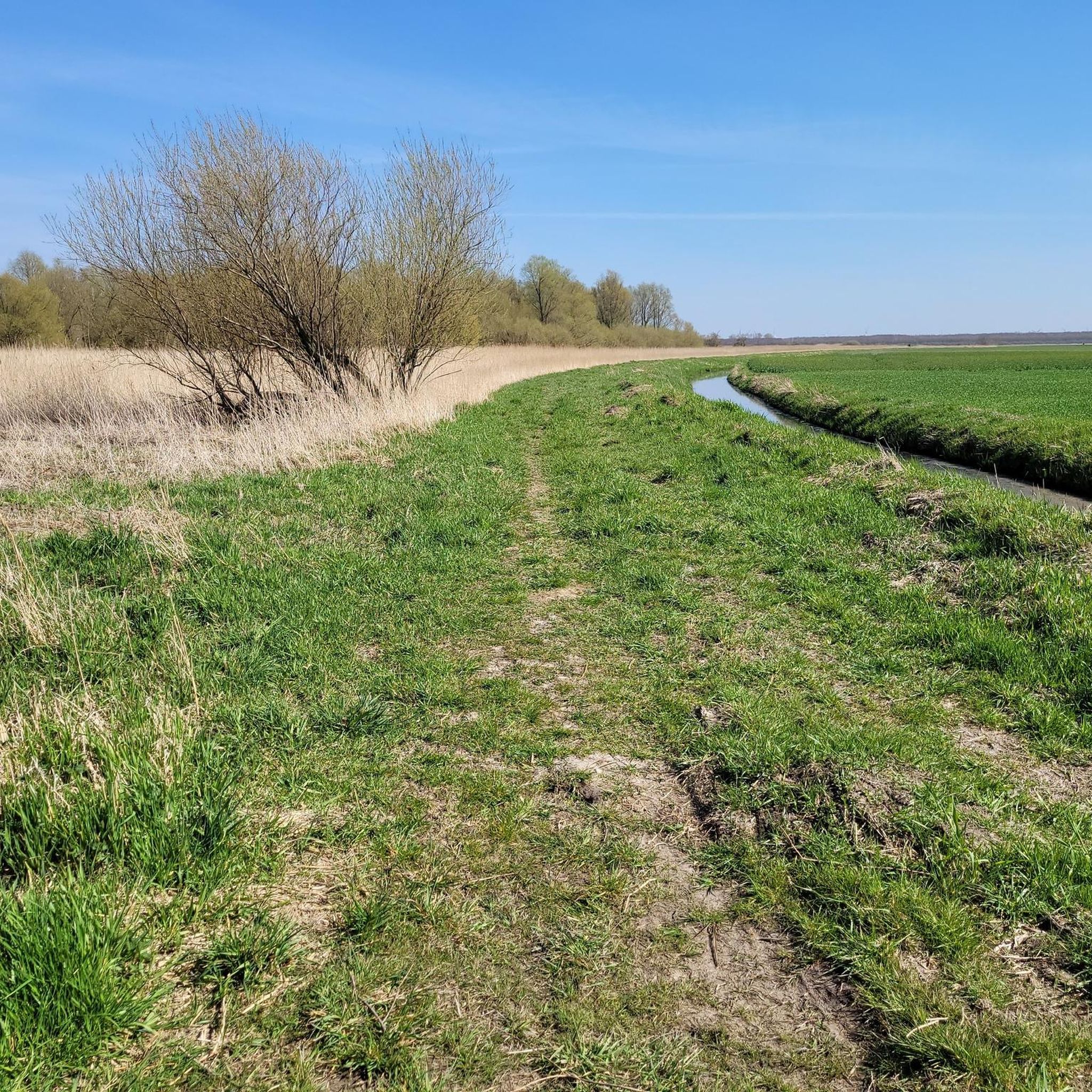
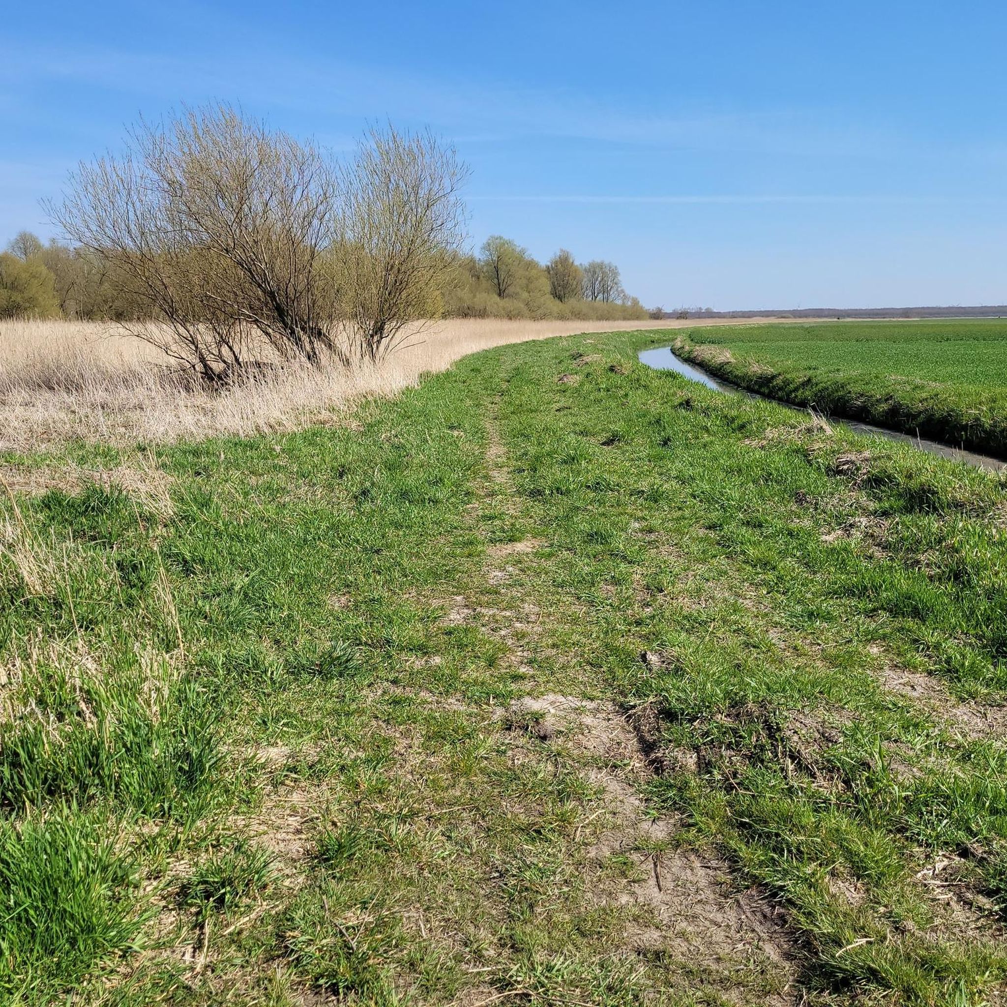
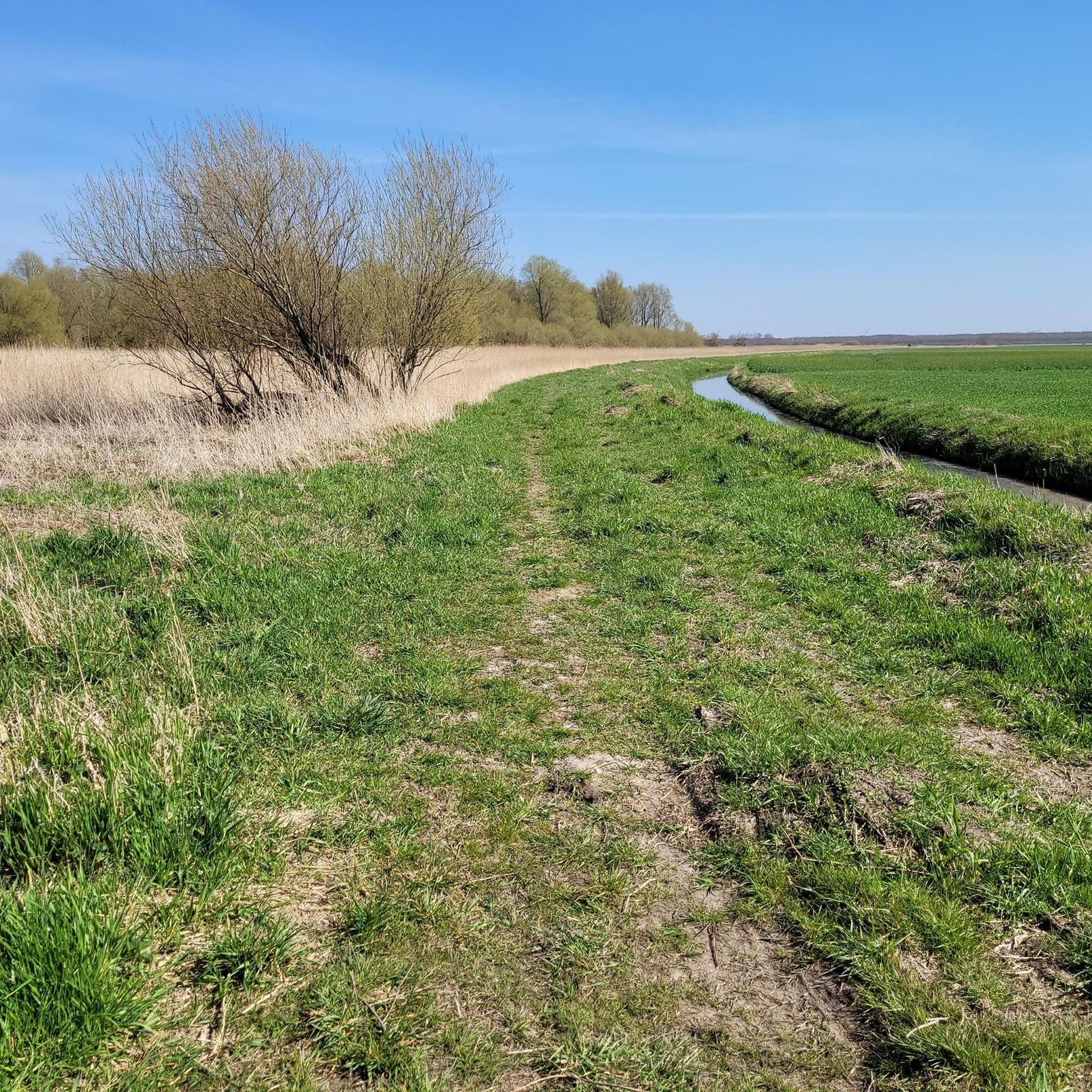
Hiking around Averlak offers access to flat, rural landscapes in Schleswig-Holstein, Germany. The terrain features expansive agricultural lands, with subtle variations from remnants of former cliffs and dune chains up to five meters high. To the east, moorland is present, while wet marshes stretch to the west, alongside significant waterways like the Kiel Canal and Kudensee. This blend provides accessible hiking opportunities across varied natural environments.
Best hiking trails around Averlak
- The most popular hiking route is Kiel Canal –…
Last updated: August 20, 2026
5.0
(3)
9
hikers
7.71km
01:57
10m
10m
Easy hike. Great for any fitness level. Easily-accessible paths. Suitable for all skill levels.
5.0
(1)
9
hikers
5.28km
01:20
0m
0m
Easy hike. Great for any fitness level. Easily-accessible paths. Suitable for all skill levels.

Sign up for free
5.0
(1)
3
hikers
3.73km
00:56
0m
0m
Easy hike. Great for any fitness level. Easily-accessible paths. Suitable for all skill levels.
4
hikers
3.85km
00:58
10m
10m
Easy hike. Great for any fitness level. Easily-accessible paths. Suitable for all skill levels.
5
hikers
2.98km
00:45
0m
0m
Easy hike. Great for any fitness level. Easily-accessible paths. Suitable for all skill levels.
Get access to more routes and recommendations from other explorers.
Sign up for free
Already have an account?
Our route recommendations are based on thousands of hikes, rides, and runs completed by other people on komoot.
Start today with a free account
Your next adventure awaits.
Login or Signup
Tips from the Community

A particularly worthwhile sight in the evening.
0
0

The Kudensee pumping station is an important technical structure in Schleswig-Holstein, which was built in 1895 during the construction of the Kiel Canal. It is used to drain the surrounding marshlands and ensures that the water from the catchment area is drained into the canal. The catchment area covers around 7,978 hectares. The pumping station was newly built in 2003/2004 and renovated in 2022 to meet current technical requirements. It has three pumps with a total discharge capacity of 6.0 m³/s, each of which can pump 2.0 m³/s. These powerful pumps ensure effective drainage and flood protection for the region. Kudensee itself is a small community in the Steinburg district, which is known not only for the pumping station but also for its attractive surroundings. The region around Lake Kudensee is an important nature reserve that provides habitat for a variety of bird species and rare plants. The reed zones and wet meadows in particular are important biotopes for numerous waders and water birds as well as protected plant species.
0
0

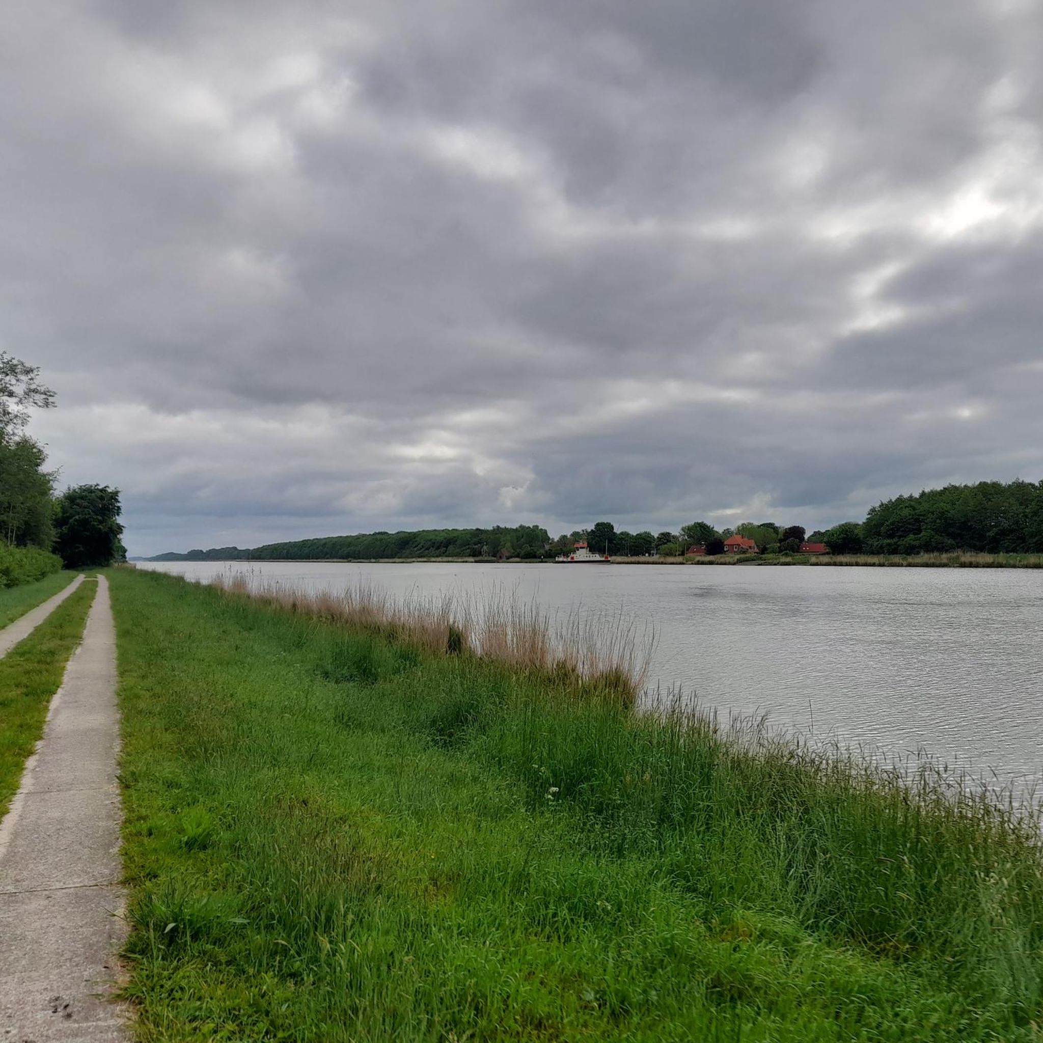
Great routes along the NOK, when driving west/east you usually even have a tailwind 😜!
0
0

The homepage of the tourist working group Nord-Ostsee-Kanal e.V. Welcome to the Kiel Canal! Welcome to this most important waterway between the North Sea and the Baltic Sea - and at the same time welcome to fascinating experiences between Brunsbüttel and Kiel. After all, we are in the holiday region where not only ships can glide through meadows and cyclists can pedal side by side with freighters and container ships. There are even more things here that you won't find anywhere else: ferrymen who transport people and vehicles free of charge, world-class sporting events, festivals of lights along the entire length of the canal, the largest art exhibition in Northern Europe, a divided village, the deepest land point in Germany. And again and again: relaxation with a dream ship view. We have put together everything you ever wanted to know about your stay on the Kiel Canal here. www.nok-sh.de
2
0


Schöpfwerk Kudensee (Nord-Ostsee-Kanal (NOK)) is a pumping station
4
0
The Kudensee pumping station drains the area around the Kudensee into the Kiel Canal.
2
0
The ferry is free for pedestrians and cars.
2
0
Frequently Asked Questions
How many hiking trails are available around Averlak?
There are over 10 hiking trails around Averlak, offering a variety of experiences. The majority of these, 10 out of 12, are rated as easy, with 2 moderate options available for those seeking a slightly greater challenge.
What kind of terrain can I expect on hikes in Averlak?
Averlak is characterized by its flat, rural landscapes, featuring expansive agricultural lands. You'll also find subtle variations from remnants of former cliffs and dune chains, reaching up to five meters high. To the east, there's moorland, while wet marshes stretch to the west, alongside significant waterways like the Kiel Canal and Kudensee. This blend provides accessible hiking opportunities across varied natural environments.
Are there any circular hiking routes in Averlak?
Yes, Averlak offers several enjoyable circular routes. A popular choice is the Kiel Canal – Kudensee Pumping Station loop from Averlak, which is 7.7 km long and takes about 1 hour 56 minutes. Another option is the shorter Kudensee und Umgebung loop from Averlak, covering 3.7 km in about 56 minutes.
What natural features or landmarks can I see while hiking near Averlak?
Hikers in Averlak can enjoy views of the iconic Kiel Canal and the tranquil Kudensee Nature Reserve. The imposing Hochdonn Railway Bridge, which carries the Marschbahn, is another prominent landmark visible from some paths, such as those near the Hohenhörn High Bridge. The region also features moorland and wet marshes, adding to the diverse natural scenery.
Are there family-friendly hiking options in Averlak?
Absolutely. The flat and accessible nature of Averlak's landscapes makes it ideal for family-friendly hikes. Many routes, like the Kudensee und Umgebung loop from Averlak, are relatively short and easy, suitable for all ages and skill levels.
Can I bring my dog on the hiking trails in Averlak?
Yes, the trails around Averlak are generally dog-friendly, offering open spaces and natural environments for you and your canine companion to explore. Always remember to keep your dog on a leash where required and clean up after them to ensure a pleasant experience for everyone.
What do other hikers enjoy most about the trails in Averlak?
The hiking routes in Averlak are highly rated by the komoot community, with an average score of 4.7 stars from over 700 reviews. Hikers frequently praise the easy accessibility of the paths, the scenic views of the Kiel Canal and Kudensee, and the peaceful, varied natural environment that includes agricultural lands, moorland, and marshes.
Are there any longer hiking options for experienced trekkers near Averlak?
While many local routes are easy, Averlak is integrated into a larger regional hiking network. For those seeking longer adventures, the area is part of the "St. Michaelisdonn Rundwanderweg Nr. 1," a 27-kilometer route connecting Averlak with neighboring communities like Eddelak, Sankt Michaelisdonn, and Kuden.
What are some other interesting places to see or visit near Averlak?
Beyond the trails, you can explore various natural attractions. The Kudensee Nature Reserve is a significant highlight. Other nearby points of interest include the Hochdonn Ferry and Railway Bridge on the Kiel Canal and the High bridge Brunsbüttel, offering impressive views of engineering marvels.
Is public transport available to access hiking trails in Averlak?
The region around Averlak is primarily rural. While specific public transport links directly to trailheads might be limited, the area is part of a broader network. For detailed information on public transport options to Averlak and surrounding communities, it's advisable to check local bus schedules or regional transport services.
What is the best time of year to go hiking in Averlak?
Averlak's mild climate, influenced by its proximity to both the North Sea and the Baltic Sea, makes it suitable for hiking throughout much of the year. Spring and summer offer pleasant temperatures and lush landscapes, while autumn brings colorful foliage. Even in winter, the flat terrain can be enjoyable, though conditions may vary.
Most popular attractions around Averlak

Get inspired with the komoot mobile app


Explore more
Browse the best Hikes in other regions.
